Best Hiking Trails in West Puente Valley, CA
Best Hiking Trails In West Puente Valley CA
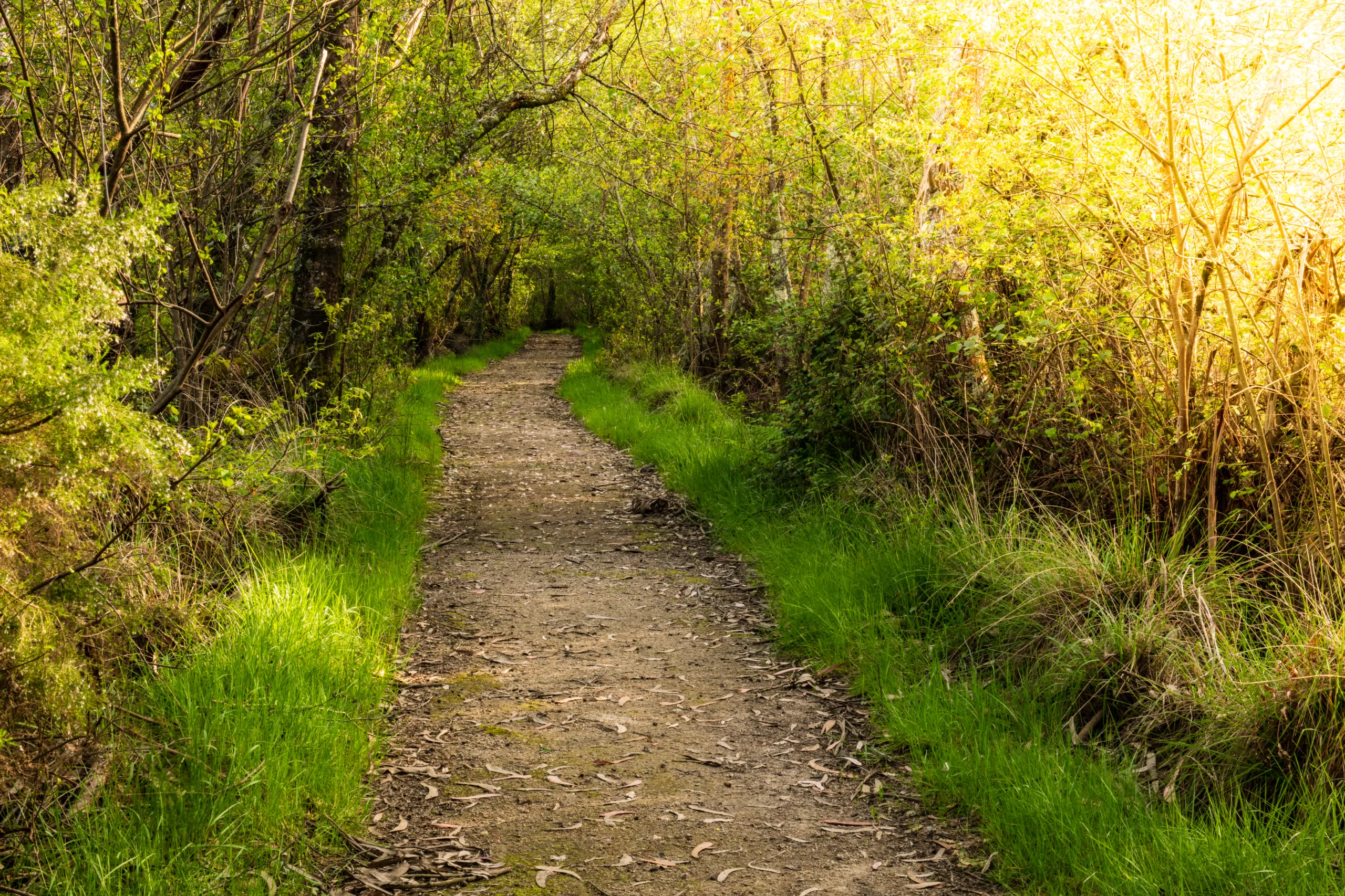
West Puente Valley, CA offers easy access to some of the best hiking trails in the San Gabriel Valley, making it an ideal starting point for outdoor enthusiasts of all skill levels. Nestled between rolling foothills and urban neighborhoods, this community provides convenient entry to scenic routes that showcase panoramic mountain views, peaceful canyons, and diverse native wildlife. From family-friendly paths to more challenging inclines, hikers can discover a variety of terrains that highlight the region’s natural beauty. In addition, well-maintained trailheads and nearby parks ensure a safe and enjoyable experience for both locals and visitors. As you begin exploring the top hiking trails near West Puente Valley, you will find that each route offers its own unique blend of scenery, elevation, and serenity, inviting you to return season after season to experience the changing landscapes and refreshing open air.
Introduction
West Puente Valley, CA, offers convenient access to some of the best hiking trails in the San Gabriel Valley. While the community itself is primarily residential, it sits just minutes from scenic foothills, urban greenbelts, and regional parks. For residents and visitors searching for top hiking near West Puente Valley, several nearby trail systems provide rewarding views, diverse terrain, and family-friendly outdoor experiences. This guide highlights the most popular and accessible options, helping you plan your next hike with confidence.
Best Hiking Trails Near West Puente Valley
Because West Puente Valley is centrally located, hikers can reach a variety of trails within a short drive. From gentle walking paths to more challenging inclines, there is something suitable for every fitness level. Below is a helpful comparison table of some of the best hiking trails near West Puente Valley to get you started.
| Trail | Approx. Distance From West Puente Valley | Difficulty | Distance (Round Trip) | Highlights |
|---|---|---|---|---|
| Walnut Creek Community Regional Park Trails | 5–10 minutes | Easy | 1–3 miles | Paved paths, family friendly, creek views |
| Puente Hills Preserve Trails | 10–15 minutes | Easy to Moderate | 2–6 miles | Rolling hills, city views, wildlife |
| Schabarum Regional Park Trails | 15–20 minutes | Easy to Moderate | 1–5 miles | Scenic overlooks, picnic areas, equestrian routes |
| Turnbull Canyon Trail | 15–20 minutes | Moderate | 4 miles | Panoramic vistas, historic canyon, sunrise and sunset views |
Trail Highlights And Experiences
To begin, Walnut Creek Community Regional Park offers a network of mostly flat, paved and dirt paths ideal for walking, jogging, and biking. This area is perfect for beginners, families with strollers, or anyone seeking a relaxed outing close to West Puente Valley. Shaded sections and creekside stretches make it especially pleasant in the early morning and late afternoon.
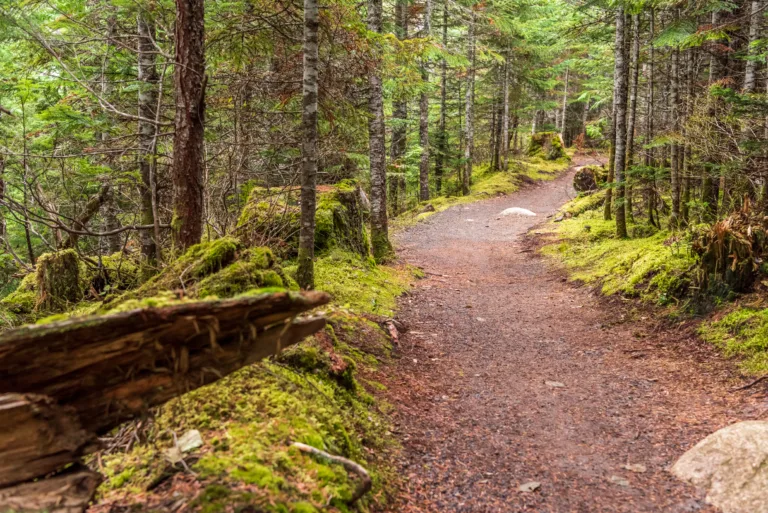
Just a short drive away, the Puente Hills Preserve provides a more natural hiking environment, with rolling hills, wide fire roads, and single-track options. Popular access points near Hacienda Heights give hikers sweeping views of the San Gabriel Valley and, on clear days, even the downtown Los Angeles skyline. The preserve is also an excellent spot for bird-watching and seasonal wildflowers.
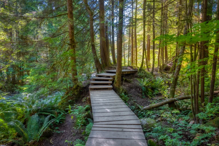
For a full-day adventure, Schabarum Regional Park combines extensive trail mileage with amenities like restrooms, picnic shelters, and playgrounds. Its interconnected routes allow you to customize the length and difficulty of your hike while enjoying oak woodlands, ridgeline views, and well-maintained paths.
Meanwhile, Turnbull Canyon Trail in nearby Whittier is one of the most iconic hikes accessible from West Puente Valley. This loop features moderate elevation gain, making it a solid workout with rewarding summit views. It is a favorite among local hikers, runners, and photographers, particularly during sunrise and sunset.
Tips For Hiking Near West Puente Valley
When exploring the best hiking trails in West Puente Valley and surrounding areas, always check weather conditions and park hours in advance. Carry plenty of water, wear sun protection, and stay on designated trails to help preserve fragile ecosystems. Parking regulations may vary between parks, so review signage and consider visiting during off-peak hours to avoid crowds.
Conclusion
In summary, West Puente Valley serves as a convenient starting point for some of the most enjoyable hiking experiences in the San Gabriel Valley. From easy community paths to more challenging canyon routes, the region offers a diverse range of options for outdoor enthusiasts of all skill levels. By using this guide and exploring nearby parks and preserves, you can discover scenic trails, improve your fitness, and fully appreciate the natural beauty surrounding West Puente Valley, CA.
Finding the Best Hiking Trails in West Puente Valley, CA
How can I find the best hiking trails near West Puente Valley, CA?
To find the best hiking trails near West Puente Valley, use a combination of online trail platforms, local park websites, and map apps. Start with reputable hiking resources such as AllTrails or Hiking Project and filter by distance from West Puente Valley, difficulty level, and user ratings. Then cross-check those results with official sites for nearby regional parks, such as the Puente Hills Preserve and San Gabriel Valley park districts, to confirm current conditions, parking information, and any access restrictions. Reviewing recent user photos and comments helps you understand trail conditions, crowd levels, and suitability for your fitness level before you go.
What types of hiking experiences are available around West Puente Valley?
In and around West Puente Valley you will find a mix of urban-adjacent walking paths, rolling foothill trails, and more moderate ridge hikes with scenic overlooks. Trails in the Puente Hills and surrounding open-space areas typically offer dirt paths with gradual elevation gain, making them suitable for beginners and intermediate hikers. Some routes are family-friendly and close to neighborhoods, while others lead to higher vantage points with views of the San Gabriel Valley and, on clear days, the San Gabriel Mountains. When choosing a trail, review the distance, elevation gain, and recent reviews to match the experience to your time, fitness level, and comfort on uneven terrain.
When is the best time of day and year to hike near West Puente Valley?
The most comfortable time to hike near West Puente Valley is usually early in the morning or late in the afternoon, when temperatures are lower and sun exposure is less intense. From late fall through early spring, conditions are generally cooler and clearer, making this an ideal season for longer or more exposed hikes. In summer and during hot, dry periods, it is best to start at sunrise, choose shorter routes with some shade if possible, and avoid mid‑day heat. Always check the local weather forecast, air quality reports, and any heat or fire advisories before heading out, and plan your water and sun protection accordingly.
What should I consider for safety when choosing a hiking trail in West Puente Valley?
When evaluating hiking trails in West Puente Valley, review the difficulty rating, distance, and elevation gain to ensure they match your fitness and experience level. Check for recent trail conditions such as loose terrain, overgrowth, or closures due to weather or fire risk on park or county websites. Plan for limited shade and bring adequate water, sun protection, and appropriate footwear for dirt and sometimes rocky surfaces. It is wise to hike with a partner when possible, let someone know your planned route and return time, and carry a fully charged phone with offline maps downloaded in case cellular coverage is limited. Respect posted signs, stay on marked trails, and watch for local wildlife, including snakes in warmer months.
Are there family-friendly or beginner hiking trails near West Puente Valley?
The area around West Puente Valley offers several short, relatively flat trails and community paths that work well for families and beginners. Look for routes in nearby community parks and foothill preserves that list low elevation gain, loop options, and wide, well‑maintained paths. Many trail platforms allow you to filter for “kid‑friendly” or “easy” hikes and show photos of trail surfaces, which can help you determine if a route is suitable for strollers or younger children. Aim for hikes under a few miles, with clear signage and access to parking, restrooms, or picnic areas, and plan to hike during cooler parts of the day to keep the experience comfortable for everyone.


news via inbox
Sign up to get local tips delivered to your inbox.

