Best Hiking Trails in Topanga, CA
Best Hiking Trails In Topanga CA
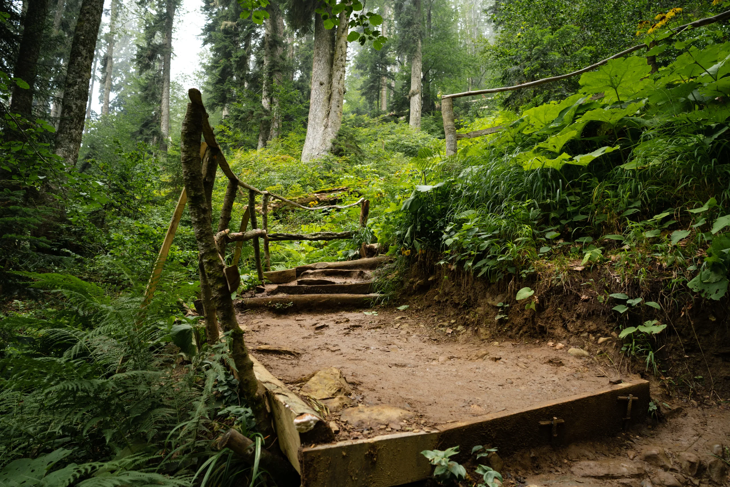
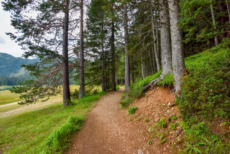
Nestled between the Pacific Ocean and the Santa Monica Mountains, Topanga, CA offers some of the best hiking trails in Southern California for outdoor enthusiasts of every skill level. From coastal canyon paths with sweeping ocean views to shaded creekside routes lined with native oaks, this scenic community provides a diverse range of terrain and experiences. As you explore the area, you will discover that Topanga hiking trails combine natural beauty, accessibility, and year-round sunshine, making them ideal for both quick escapes and full-day adventures. Moreover, the region’s well-maintained trail network, convenient parking options, and proximity to Los Angeles mean that planning your next hike is both simple and rewarding. With that in mind, the following guide will introduce you to the top hiking trails in Topanga, CA, helping you choose routes that match your interests, fitness level, and time frame.
Introduction
Topanga, CA is a hiker’s paradise tucked between the Pacific Ocean and the Santa Monica Mountains. With its rugged canyons, sweeping ocean views, and serene oak woodlands, Topanga offers some of the best hiking trails in Southern California. Whether you are a seasoned trekker or a casual weekend explorer, these Topanga hiking trails provide diverse terrain, scenic vistas, and convenient access from Los Angeles. In this guide, we will highlight the top hiking trails in Topanga, CA, along with practical details to help you plan your next outdoor adventure.
Eagle Rock Via Eagle Springs Loop
The Eagle Rock via Eagle Springs Loop is one of the most popular hikes in Topanga State Park. This trail leads to the iconic sandstone formation known as Eagle Rock, offering panoramic views of the Pacific Ocean, downtown Los Angeles, and surrounding mountains. The loop combines gradual climbs with rolling ridgelines, making it a rewarding mid-length trek.
Starting from the Trippet Ranch parking area, the trail winds through chaparral, native grasses, and scattered oak trees. As you ascend, you will notice the vegetation thinning and the vistas expanding, creating ideal opportunities for photography and wildlife viewing. Because this route is exposed, it is best to hike early in the morning or late in the afternoon, especially during warmer months.
| Trail Name | Distance (Round Trip) | Elevation Gain | Difficulty |
|---|---|---|---|
| Eagle Rock via Eagle Springs Loop | 4.5–5 miles | Approx. 900 ft | Moderate |
Musch Trail To Topanga Lookout
For hikers seeking a blend of forested singletrack and sweeping ridge views, the Musch Trail to Topanga Lookout is a standout option. Beginning near the Musch Camp area, this route follows a well-maintained trail that meanders through shady groves and open meadows before ascending toward the historic Topanga Lookout site.
The former fire lookout platform is now a renowned viewpoint and photography spot, offering 360-degree vistas over the Santa Monica Mountains. On clear days, you can see the coastline stretching in both directions, as well as the San Fernando Valley to the north. Because of its varied terrain, this trail is ideal for hikers looking to improve endurance while still enjoying a manageable distance.
| Trail Name | Key Highlights | Best Time To Hike |
|---|---|---|
| Musch Trail to Topanga Lookout | Shaded sections, wildflowers in spring, 360° lookout views | Spring and fall, early mornings in summer |
Los Liones And Parker Mesa Overlook
Although technically starting closer to Pacific Palisades, the Los Liones to Parker Mesa Overlook route is often included in lists of the best Topanga hikes due to its location along the same coastal ridge system. This trail features a lush canyon ascent before emerging onto high coastal bluffs. The Parker Mesa Overlook provides one of the most dramatic ocean views near Topanga, making it a favorite for sunrise and sunset hikes.
The initial Los Liones segment is relatively steep but shaded, offering a cooler approach even on warmer days. As you transition onto the fireroad heading toward Parker Mesa, the trail opens up, revealing expansive views that reward every step of the climb. This hike is excellent for fitness-minded hikers seeking a longer workout with exceptional scenery.
Trail Planning Tips And Safety
When exploring the best hiking trails in Topanga, CA, preparation is essential. Always check weather conditions and park advisories before you go, as sections of Topanga State Park may close due to high fire danger or trail maintenance. Bring plenty of water, sun protection, and sturdy footwear, particularly for longer routes with significant elevation gain.
Parking at popular trailheads such as Trippet Ranch and Los Liones can fill quickly on weekends, so arriving early enhances both convenience and safety. Additionally, staying on marked trails helps protect fragile ecosystems and reduces the risk of getting lost in the canyon network. As you plan your hike, consider your fitness level, the time of day, and the trail distance to ensure a safe and enjoyable outing.
Conclusion
From the dramatic rock formations of Eagle Rock to the sweeping panoramas at Topanga Lookout and Parker Mesa Overlook, Topanga, CA offers an impressive concentration of scenic hiking opportunities. These Topanga hiking trails combine accessibility, natural beauty, and variety, making them ideal for both local residents and visitors seeking to experience the best of Southern California’s outdoor lifestyle. By selecting the right trail for your skill level, preparing appropriately, and respecting the natural environment, you can fully enjoy everything that Topanga’s remarkable landscape has to offer.
Finding the Best Hiking Trails in Topanga, CA
What are some of the best hiking trails in Topanga, CA for scenic views?
Some of the most scenic hikes in Topanga, CA include Eagle Rock via the Eagle Springs Fire Road, Parker Mesa Overlook from Los Liones, and the Musch Trail loop in Topanga State Park. Eagle Rock offers panoramic views of the Santa Monica Mountains and the Pacific Ocean, with large sandstone formations ideal for photography. Parker Mesa Overlook features one of the region’s best coastal vistas, including sweeping views of the coastline and, on clear days, Catalina Island. The Musch Trail loop combines shaded oak woodlands, chaparral, and open ridgelines, offering a mix of terrain and frequent viewpoints. All three trails are well-marked, popular with local hikers, and suitable for those seeking rewarding vistas without technical climbing.
How can I choose the right Topanga trail for my fitness and experience level?
To choose an appropriate trail in Topanga, start by reviewing distance, elevation gain, and trail type (out-and-back, loop, or point-to-point). Beginners or families may prefer shorter routes with moderate elevation, such as the Musch Trail to the campground or the Trippet Ranch area paths, which offer relatively gentle grades and clear signage. Intermediate hikers can explore longer loops that include Eagle Rock or the Backbone Trail segments, which add more sustained climbs and varied terrain. Advanced hikers may seek extended Backbone Trail sections that connect Topanga to neighboring areas, providing longer mileage and more elevation gain. Before heading out, check recent trail conditions, consider weather and heat, and match your choice to your comfort with climbing, exposure, and distance.
When is the best time of year and day to hike in Topanga, CA?
The best seasons for hiking in Topanga are late fall through spring, when temperatures are cooler and the hills are often green from seasonal rains. Winter and early spring can offer clear air, vibrant wildflowers, and reduced wildfire risk. Summer and early fall can be very hot and dry, so if you hike then, choose shorter routes, start early, and bring extra water. Time of day matters as much as the season; early mornings typically provide cooler temperatures, fewer crowds, and better parking access at popular trailheads such as Trippet Ranch or Los Liones. Late afternoons can also be pleasant, but allow enough time to finish before dark and carry a light if there is any risk of hiking near sunset.
Where can I find reliable information and maps for Topanga hiking trails?
Reliable information on Topanga hiking trails is available from multiple sources. The official California State Parks or Topanga State Park websites often provide current maps, parking information, and any closure or fire-related notices. Reputable hiking guidebooks for the Santa Monica Mountains and dedicated hiking apps or websites can supply detailed route descriptions, difficulty ratings, and recent user reports. At popular access points such as Trippet Ranch, trailhead kiosks usually offer printed or posted maps and regulatory notices. For the most accurate navigation, carry an up-to-date paper map or download offline maps to your phone, as cell service can be inconsistent in some canyons and along ridge routes. Always cross-check user-generated information with official sources to confirm access and safety conditions.
What safety and preparation tips should I follow when hiking in Topanga?
Proper preparation is essential for hiking in Topanga’s coastal and canyon environment. Bring sufficient water, especially in warmer months, and wear sturdy footwear suitable for uneven and sometimes rocky terrain. Sun protection is important year-round, so use sunscreen, a hat, and sunglasses, as many trail segments are exposed. Check the weather forecast, fire danger levels, and any posted trail closures before you go, and avoid hiking in extreme heat or during red-flag fire conditions. Stay on designated trails to protect the habitat and reduce your risk of getting lost or encountering unstable slopes or poison oak. Inform someone of your planned route and expected return time, carry a basic first-aid kit, and be aware of local wildlife, including snakes and ticks. Respect posted regulations, pack out all trash, and keep noise levels low to preserve the natural experience for everyone.


latest video

news via inbox
Sign up to get local tips delivered to your inbox.


