Best Hiking Trails in South San Gabriel, CA
Best Hiking Trails In South San Gabriel CA
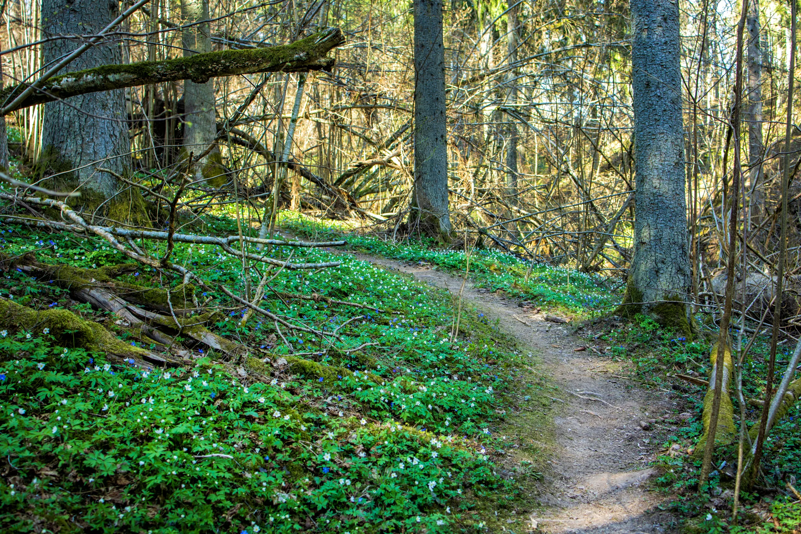
South San Gabriel, CA offers some of the best hiking trails in the San Gabriel Valley, attracting outdoor enthusiasts seeking scenic views, accessible paths, and refreshing open spaces. Nestled between bustling urban neighborhoods and the picturesque San Gabriel Mountains, this area provides convenient access to family-friendly hikes, nature walks, and moderate treks suitable for all skill levels. As you explore the region, you’ll discover trails featuring shaded creek beds, native plants, and panoramic overlooks that showcase Southern California’s natural beauty.
In addition, many of the top hiking trails near South San Gabriel connect to larger regional park systems, making it easy to extend your adventure or customize your route. Whether you are training for a longer mountain hike or simply looking for a peaceful weekend escape, these local paths offer a perfect balance of accessibility and outdoor challenge, inviting you to experience the best of South San Gabriel’s hiking opportunities.
Introduction
For outdoor enthusiasts seeking scenic escapes near Los Angeles, the hiking trails around South San Gabriel, CA offer a refreshing blend of nature, accessibility, and year-round sunshine. While South San Gabriel itself is primarily residential, it sits at a crossroads of several excellent trail networks in the San Gabriel Valley. From family-friendly riverside walks to challenging canyon climbs, the surrounding area provides diverse options that appeal to beginners and seasoned hikers alike. This guide highlights the best hiking trails near South San Gabriel, helping you plan your next adventure with confidence.
Top Hiking Trails Near South San Gabriel
Because South San Gabriel is centrally located, hikers can quickly reach popular outdoor destinations such as the San Gabriel River Trail, Whittier Narrows Recreation Area, and the scenic foothills near Pasadena and the San Gabriel Mountains. The following table summarizes some of the most recommended options within a practical driving distance, focusing on trail difficulty, distance, and key highlights.
| Trail Name | Approx. Distance From South San Gabriel | Distance & Difficulty | Highlights |
|---|---|---|---|
| San Gabriel River Trail (Whittier Narrows Segment) | 5–10 minutes | Up to 20+ miles, Easy–Moderate | Paved multi-use path, river views, birdwatching |
| Whittier Narrows Recreation Area Trails | 5–10 minutes | 1–5 miles, Easy | Lakes, picnic areas, flat nature loops |
| Arroyo Seco Trail (Pasadena Area) | 20–25 minutes | 3–8 miles, Easy–Moderate | Canyon scenery, shade, historical bridges |
| Eaton Canyon Falls Trail | 25–30 minutes | 3.5 miles round trip, Moderate | Seasonal waterfall, stream crossings, mountain views |
| Turnbull Canyon Trail (Puente Hills) | 20–25 minutes | 4–6 miles, Moderate | Ridge views, rolling hills, sunrise/sunset vistas |
Featured Trails And What To Expect
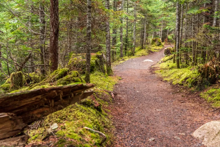
The San Gabriel River Trail near Whittier Narrows is one of the most convenient routes for residents of South San Gabriel. This largely paved pathway follows the river channel and is ideal for walking, running, or cycling. With easy access and minimal elevation gain, it is perfect for beginners or those looking for a relaxed outing with scenic water and wildlife views.
Just adjacent, the Whittier Narrows Recreation Area offers a network of flat dirt and paved trails circling ponds and open fields. Families appreciate the combination of short walks, picnic spots, and recreational facilities, making it an excellent choice for weekend outings. Because the terrain is gentle, it is also suitable for older adults and young children.
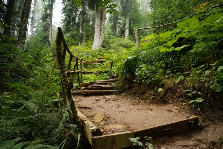
For hikers seeking a more immersive natural experience, the Arroyo Seco Trail and Eaton Canyon Falls Trail in the foothills near Pasadena provide shaded canyons, rocky streambeds, and photogenic backdrops. These trails introduce more elevation gain and uneven terrain, yet remain accessible to most moderately fit hikers. In particular, Eaton Canyon’s waterfall is a popular reward at the end of the hike, especially during cooler months.
Meanwhile, Turnbull Canyon in the Puente Hills delivers rolling ridges and panoramic city and mountain views. This area is well known among local hikers for sunrise and sunset hikes, when the skies over the San Gabriel Valley are especially vibrant.
Tips For Hiking Near South San Gabriel
To make the most of the best hiking trails near South San Gabriel, start early during warmer months, carry adequate water, and wear sturdy footwear. Many of these areas offer little shade in certain sections, so sun protection is essential. Additionally, always check local park or county websites for up-to-date information on parking, trail closures, and seasonal conditions.
Conclusion
Living in or visiting South San Gabriel, CA puts you within easy reach of some of the best hiking trails in the San Gabriel Valley. From leisurely riverside walks to invigorating canyon routes, the region’s diverse landscapes ensure that every outdoor lover can find a trail that fits their interests and fitness level. By exploring these highlighted destinations and planning ahead, you can enjoy safe, scenic, and rewarding hikes just minutes from the heart of South San Gabriel.
Finding the Best Hiking Trails in South San Gabriel, CA
How can I find beginner-friendly hiking trails near South San Gabriel, CA?
Where can I find scenic hikes with views close to South San Gabriel?
How do I know if a hiking trail around South San Gabriel is safe and well-maintained?
What should I consider when choosing a hiking trail for hot weather near South San Gabriel?
Are there family-friendly or dog-friendly hiking options close to South San Gabriel?


latest video
news via inbox
Sign up to get local tips delivered to your inbox.


