Best Hiking Trails in Santa Ana, CA
Best Hiking Trails In Santa Ana CA
Nestled in the heart of Orange County, Santa Ana, CA offers some of the best hiking trails for outdoor enthusiasts seeking scenic views, varied terrain, and convenient urban access. From family-friendly paths to more challenging routes, the region’s network of trails provides a refreshing escape from city life while showcasing native wildlife, coastal breezes, and stunning canyon landscapes. Whether you are a seasoned hiker or a beginner looking for a weekend adventure, Santa Ana hiking trails deliver an ideal blend of nature, fitness, and relaxation. Moreover, these well-maintained routes connect seamlessly to nearby parks and open spaces, making it easy to plan longer outings or quick lunchtime walks. As you explore the area’s top-rated paths, you will discover why Santa Ana stands out as a premier Southern California hiking destination, inviting residents and visitors alike to experience its natural beauty year-round.
Introduction
Exploring the best hiking trails in Santa Ana, CA is an excellent way to experience Southern California’s natural beauty while staying close to urban amenities. Nestled in Orange County, Santa Ana offers convenient access to scenic canyons, coastal hills, and well-maintained parks. Whether you are a beginner seeking an easy walk or an experienced hiker looking for a moderate challenge, Santa Ana and its nearby areas provide a variety of trail options. This guide highlights the top trails, key features, and essential tips to help you plan your next outdoor adventure.
Santiago Park Nature Reserve
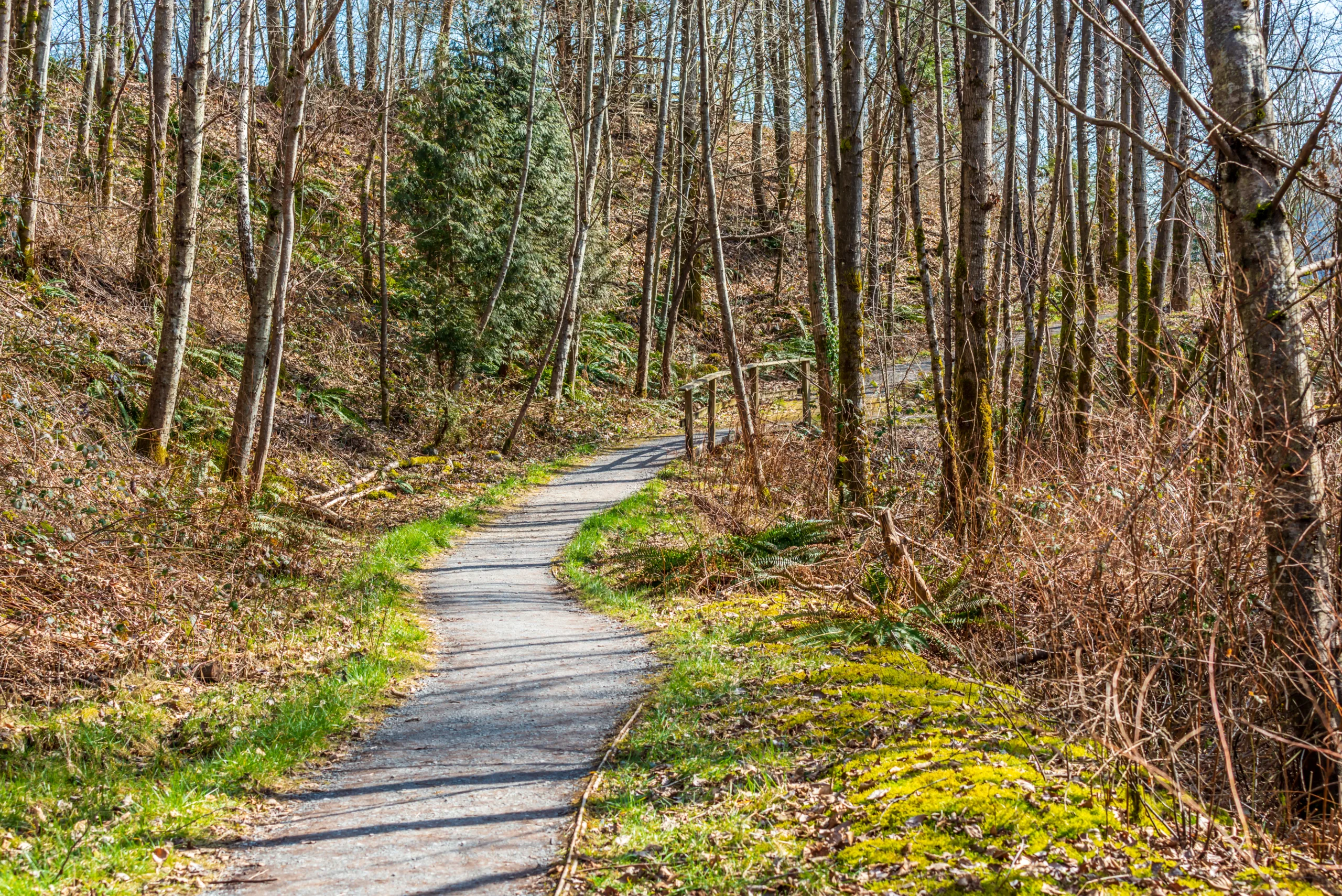
For those searching for family-friendly hiking in Santa Ana, Santiago Park Nature Reserve is a standout choice. Located along the Santiago Creek, this area features a network of flat, accessible paths ideal for walking, jogging, and bird-watching. The trails wind through riparian habitat, offering shade and opportunities to spot local wildlife. In addition, the park connects to the Santa Ana River Trail, allowing more experienced hikers and cyclists to extend their route. Because of its central location and gentle terrain, Santiago Park is perfect for beginners and casual hikers who want a quick nature escape.
Santa Ana River Trail Access Points
The Santa Ana River Trail is a long, multi-use path that stretches from the San Bernardino Mountains to the Pacific Ocean. While not a traditional dirt hiking trail, it offers excellent paved hiking and biking near Santa Ana. Local access points within the city and nearby areas provide convenient entry to this scenic corridor. The trail is mostly flat and well-marked, making it suitable for walkers, runners, and cyclists of all fitness levels. Because it runs alongside the river, it delivers a pleasant, open-air experience with expansive views, especially at sunrise and sunset.
Nearby Trails In The Santiago Oaks And Peters Canyon Areas
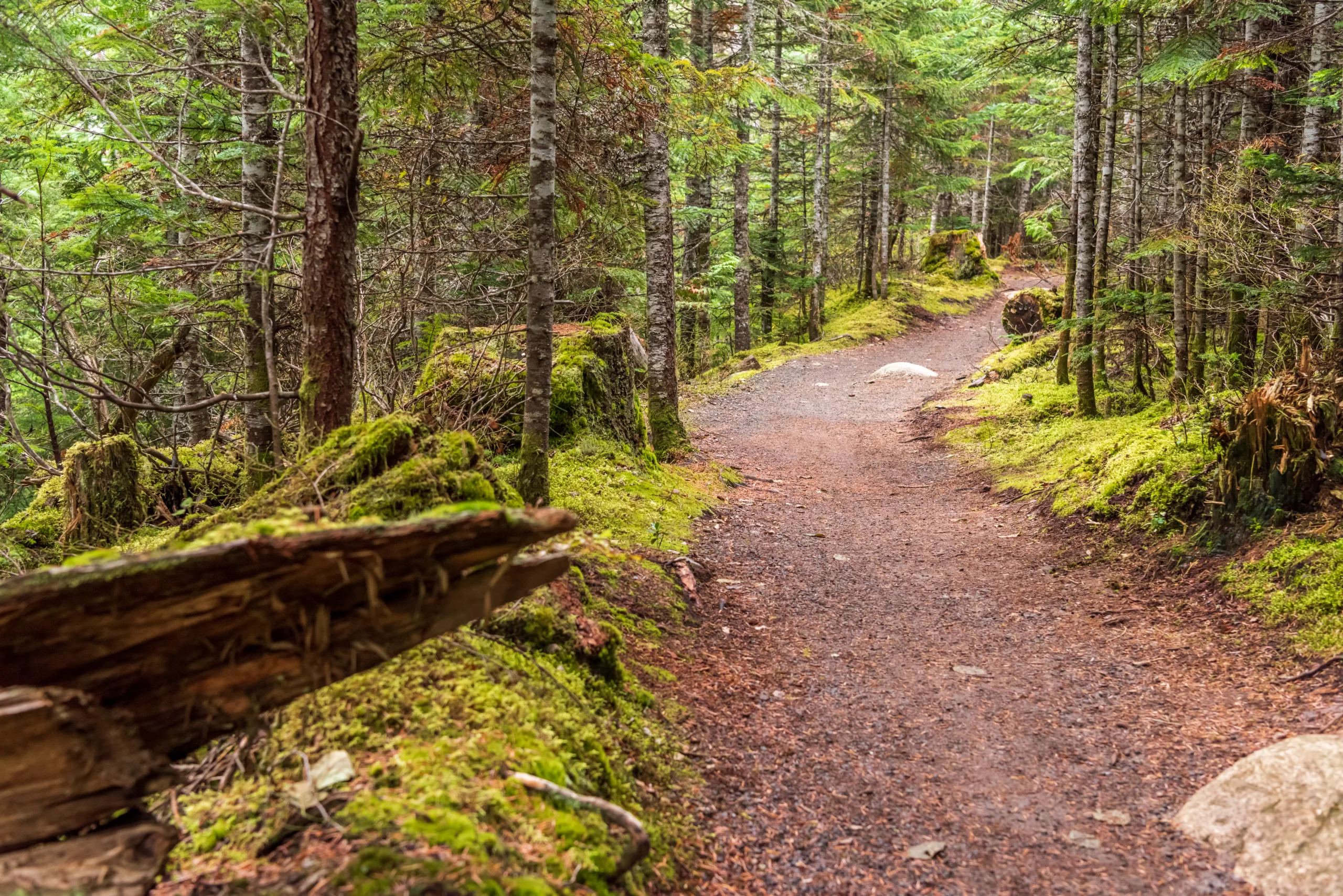
Although located just outside Santa Ana, Santiago Oaks Regional Park and Peters Canyon Regional Park are easily accessible and offer some of the best hiking experiences in the region. Santiago Oaks features varied terrain, including single-track trails, steep climbs, and panoramic vistas of Orange County. Meanwhile, Peters Canyon is known for its reservoir views, rolling hills, and diverse loop options. These parks are ideal for hikers seeking longer, more challenging routes while still remaining close to Santa Ana’s city center.
To help you compare the top options, the table below summarizes several of the best hiking trails near Santa Ana, CA.
| Trail / Area | Location | Difficulty | Approx. Distance | Highlights |
|---|---|---|---|---|
| Santiago Park Nature Reserve | Central Santa Ana | Easy | 1–3 miles | Shaded creek, wildlife, family-friendly |
| Santa Ana River Trail | Multiple access points in Santa Ana | Easy | Variable, up to many miles | Paved path, river views, biking and walking |
| Santiago Oaks Regional Park | Near Orange, CA | Moderate to Difficult | 3–10+ miles | Steep climbs, viewpoints, varied terrain |
| Peters Canyon Regional Park | Near Tustin, CA | Easy to Moderate | 2–8 miles | Reservoir views, rolling hills, popular loops |
Tips For Hiking In Santa Ana CA
When enjoying the top hiking trails in Santa Ana, it is important to prepare properly. Always check weather conditions before heading out, as temperatures can rise quickly, especially in summer. Bring plenty of water, sun protection, and appropriate footwear with good traction. Additionally, many nearby regional parks charge modest parking or entry fees, so it is wise to bring a payment method or purchase an applicable pass. Staying on designated trails helps protect fragile habitats and ensures a safer, more enjoyable experience.
Conclusion
From shaded creekside paths to challenging hillside climbs, the best hiking trails in Santa Ana, CA offer something for every outdoor enthusiast. Santiago Park Nature Reserve and the Santa Ana River Trail deliver accessible, family-friendly options within the city, while nearby Santiago Oaks and Peters Canyon provide more rugged, scenic routes. By choosing the right trail for your skill level and planning ahead, you can fully appreciate the natural landscapes that make Santa Ana and its surroundings a premier hiking destination in Orange County.
Finding the Best Hiking Trails in Santa Ana, CA
Where can I find the best beginner-friendly hiking trails near Santa Ana, CA?
How can I find current trail conditions and closures for Santa Ana area hikes?
What are some scenic hiking trails with views close to Santa Ana, CA?
Are there family-friendly or kid-appropriate hiking trails in Santa Ana, CA?
What should I consider for safety and preparedness when hiking near Santa Ana, CA?


latest video
news via inbox
Sign up to get local tips delivered to your inbox.


