Best Hiking Trails in San Marino, CA
Best Hiking Trails In San Marino CA
Nestled at the base of the San Gabriel Mountains, San Marino, CA offers easy access to some of the best hiking trails in the Pasadena and San Gabriel Valley area. This charming, upscale community is a strategic starting point for outdoor enthusiasts seeking scenic routes, from gentle neighborhood paths to more challenging canyon and foothill hikes. With its proximity to iconic destinations like the Huntington Library, Lacy Park, and nearby wilderness preserves, San Marino serves as a quiet hub for those looking to escape city noise without traveling far. As you explore local options and nearby trailheads, you’ll discover routes that feature panoramic mountain vistas, shaded oak groves, and well-maintained tracks ideal for families, fitness hikers, and nature photographers alike. In the following sections, we’ll highlight the top trails, essential tips, and practical information to help you plan your next San Marino hiking adventure.

Introduction
San Marino, CA, nestled near Pasadena in the San Gabriel Valley, offers convenient access to some of Southern California’s most scenic hiking trails. While the city itself is primarily residential, it is surrounded by exceptional outdoor destinations that cater to all skill levels. From family-friendly paths to more challenging climbs with panoramic views, the best hiking trails near San Marino provide a perfect escape into nature. This guide highlights the top routes, essential details, and helpful tips to help you plan your next hiking adventure.
Best Hiking Trails Near San Marino CA
Because San Marino is centrally located, hikers can reach several outstanding trailheads within a short drive. These nearby routes are popular for their accessibility, scenic beauty, and overall hiking experience.
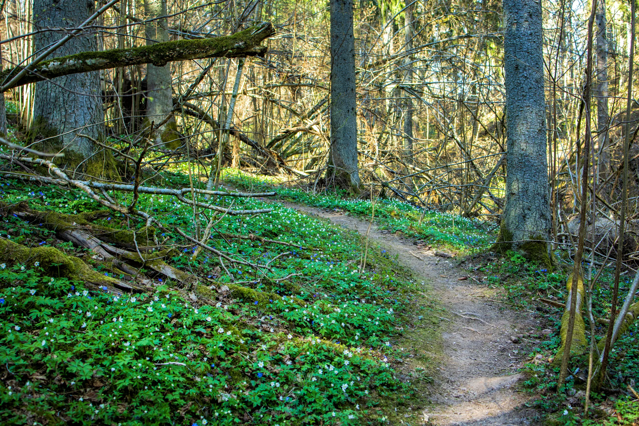
Eaton Canyon Falls Trail in nearby Pasadena is one of the most beloved hikes for locals. This relatively easy trail follows Eaton Wash to a seasonal waterfall, making it ideal for beginners and families. Along the way, you can enjoy native plants, birdlife, and dramatic canyon walls. Due to its popularity, it is best to arrive early or visit on weekdays.
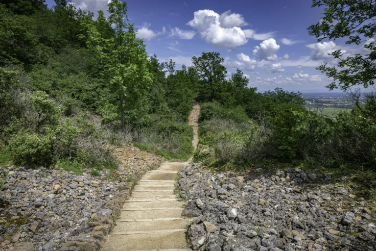
For those seeking a bit more elevation, the Echo Mountain via Sam Merrill Trail offers a moderate climb from Altadena into the San Gabriel Mountains. This historic route follows an old railway grade and rewards hikers with sweeping views over Pasadena, San Marino, and the greater Los Angeles basin. As the trail is mostly exposed, it is important to bring plenty of water and sun protection.
Traveling slightly farther, the Henninger Flats via Pinecrest Gate trail provides a rewarding workout with well-maintained switchbacks and interpretive exhibits at the top. This route is popular with regular hikers and trail runners and is an excellent fitness hike with scenic payoff.
Hiking Trail Comparison Table
| Trail Name | Approx. Distance (Round Trip) | Difficulty | Key Features | Driving Time From San Marino |
|---|---|---|---|---|
| Eaton Canyon Falls Trail | 3.5 miles | Easy to Moderate | Waterfall, creek crossings, canyon views | ~15 minutes |
| Echo Mountain via Sam Merrill Trail | 5.5 miles | Moderate | City panoramas, historic railway ruins, ridgeline views | ~20 minutes |
| Henninger Flats via Pinecrest Gate | 4.5 miles | Moderate | Interpretive exhibits, picnic areas, mountain vistas | ~20 minutes |
Tips For Hiking Near San Marino CA
To fully enjoy the best hiking trails near San Marino, it is essential to prepare properly. Start by checking weather conditions and trail advisories before you head out, especially during hot summer months or after heavy rainfall. Because many local trails offer limited shade, hikers should wear a hat, sunscreen, and moisture-wicking clothing.
Additionally, always carry enough water—at least one to two liters per person for shorter hikes—and pack basic essentials such as snacks, a small first-aid kit, and a fully charged phone. Parking at popular trailheads like Eaton Canyon can fill up quickly, so consider arriving early in the morning to secure a spot and enjoy cooler temperatures.
Respecting trail etiquette is also important. Stay on designated paths, yield to uphill hikers, and keep a safe distance from wildlife. By leaving no trace and packing out all trash, you help preserve these beautiful areas for future visitors.
Conclusion
The area surrounding San Marino, CA offers a wealth of hiking opportunities for outdoor enthusiasts of every level. From the waterfall adventure of Eaton Canyon to the expansive city views from Echo Mountain and the invigorating climb to Henninger Flats, you can find a trail that matches your fitness and interests. By planning ahead and following basic safety guidelines, you can make the most of these top hiking trails near San Marino and enjoy memorable days on the trail. Whether you are a local resident or a visitor exploring the San Gabriel Valley, these routes provide an excellent way to experience Southern California’s natural beauty.
Finding the Best Hiking Trails in San Marino, CA
How can I find the most scenic hiking trails near San Marino, CA?
To find the most scenic trails near San Marino, CA, start by exploring nearby foothill and canyon areas such as Eaton Canyon, Chantry Flat, and the San Gabriel Mountains front range. Use reputable trail platforms like AllTrails and Hiking Project, and filter by “views,” “waterfalls,” or “wildflowers” to locate the most photographed and well-reviewed routes. Cross‑check recent reviews to confirm current trail conditions, parking requirements, and any temporary closures. You can also consult maps and guides from the Angeles National Forest and the City of Pasadena, and visit local outdoor retailers or nature centers that often share printed maps and staff recommendations tailored to your preferred distance and difficulty level.
What should I consider when choosing a hiking trail around San Marino for my skill level?
When selecting a trail near San Marino, evaluate total distance, elevation gain, and expected hiking time, as these factors directly affect difficulty. Beginners might prefer relatively flat, well‑marked routes such as lower canyon trails with gradual inclines, while more experienced hikers can opt for steeper, longer routes leading into the San Gabriel foothills. Review topographic maps and elevation profiles to identify steep sections and switchbacks. Check recent reports for heat exposure, shade coverage, and water availability, since local temperatures can rise quickly, especially in summer. Finally, choose trails that have clear signage and cell coverage if you are still building navigation skills, and always start with shorter routes before progressing to more challenging terrain.
Are there family-friendly or beginner hiking trails close to San Marino, CA?
The area around San Marino offers several family‑friendly and beginner options within a short drive. Lower segments of Eaton Canyon Trail are popular for their relatively gentle grade and clear paths, making them suitable for children and newer hikers when started early in the day and in mild weather. Nearby nature parks and urban‑adjacent open spaces often feature short loop trails with interpretive signs, benches, and rest points, which help keep outings manageable. When planning a family hike, look for routes under 3 miles with minimal elevation gain, access to restrooms and designated parking, and clearly established trails rather than unmarked use paths. Always confirm current conditions, as even easy canyon trails can be affected by heat, recent storms, or temporary closures.
What safety precautions should I follow when hiking near San Marino, CA?
When hiking near San Marino, start by checking the weather forecast, heat advisories, and any fire or trail closure notices from local agencies such as the Angeles National Forest and Los Angeles County. Begin early in the day to avoid peak heat, and carry more water than you think you will need, as many canyon and foothill trails have little shade and no reliable drinking sources. Wear supportive footwear with good traction, sun protection such as a hat and sunscreen, and bring a basic first‑aid kit. Inform someone of your route and expected return time, and download offline maps in case of limited cell service. Stay on marked trails to reduce the risk of falls, encounters with wildlife such as rattlesnakes, and damage to fragile habitats, and turn back if conditions become unsafe or if anyone in your group is overly fatigued.
When is the best time of year to hike the trails around San Marino, CA?
The most comfortable hiking seasons around San Marino are typically late fall through spring, when temperatures are cooler and visibility is often clearer. From November to early May, you are more likely to experience pleasant daytime temperatures and, after winter rains, greener hillsides and seasonal streams or waterfalls on certain canyon trails. Wildflower displays can occur in late winter and spring, depending on rainfall. Summer and early fall can be very hot and dry, especially on exposed routes in the San Gabriel foothills, so if you hike during these periods, start at sunrise, choose shorter trails with shade, and carry ample water and sun protection. Always check trail conditions after storms, as some paths may be temporarily closed due to erosion, mudslides, or maintenance work.

latest video
news via inbox
Sign up to get local tips delivered to your inbox.


