Best Hiking Trails in San Jose, CA
Best Hiking Trails In San Jose CA
Discovering the best hiking trails in San Jose, CA is an ideal way to experience the natural beauty that surrounds Silicon Valley. Nestled between rolling foothills and expansive open spaces, San Jose offers a diverse range of trails suitable for beginners, families, and seasoned outdoor enthusiasts. From scenic ridge walks with panoramic views of the Bay Area to shaded creekside paths perfect for a leisurely stroll, the region’s parks and preserves provide countless opportunities for recreation and relaxation. Moreover, these San Jose hiking trails are easily accessible from the city, making them perfect for quick weekend getaways or after-work adventures. As you explore the top routes in Alum Rock Park, Santa Teresa County Park, and beyond, you’ll encounter rich wildlife, wildflowers, and breathtaking vistas that highlight the area’s unique landscape. In the following sections, we will guide you through the must-visit trails that define San Jose’s outdoor appeal.
Introduction
San Jose, California, is a gateway to some of the best hiking trails in the Bay Area, offering scenic views, diverse terrain, and year-round accessibility. From beginner-friendly paths to challenging summit climbs, the city’s trail network provides something for every outdoor enthusiast. This guide highlights the top hiking trails in San Jose, CA, helping you plan your next adventure while also maximizing your search for the best local hikes.
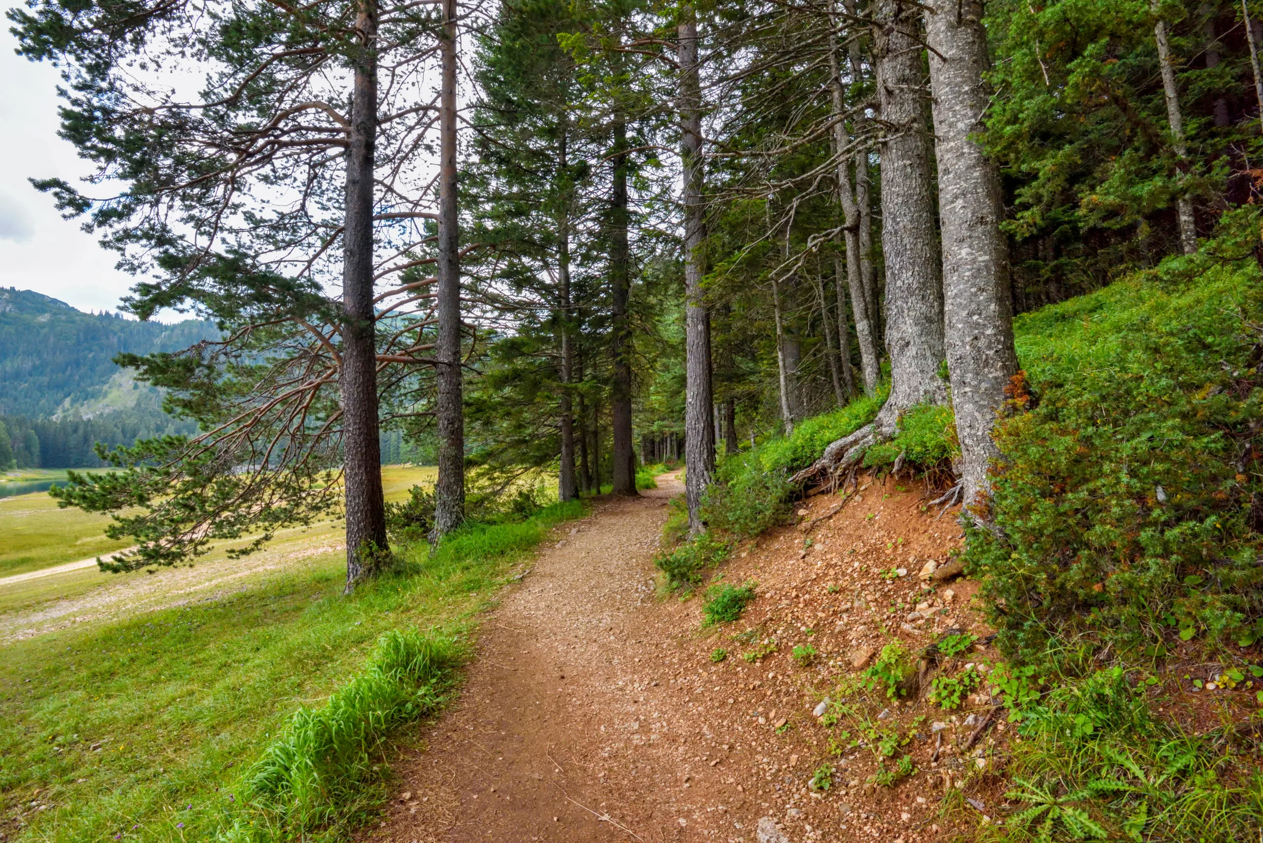
Alum Rock Park
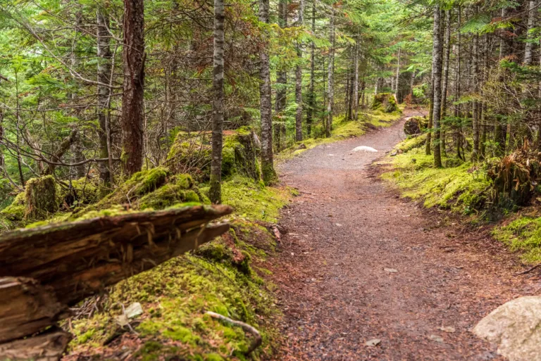
As one of California’s oldest municipal parks, Alum Rock Park offers a rich blend of history and natural beauty. Located in the foothills of the Diablo Range, this park features multiple trails ranging from easy creekside walks to moderate canyon climbs. Popular routes include the Penitencia Creek Trail and the South Rim Trail, both of which provide scenic outlooks and opportunities for wildlife viewing. With convenient picnic areas and educational signage, Alum Rock Park is ideal for families and casual hikers seeking a convenient nature escape close to downtown San Jose.
Almaden Quicksilver County Park
Further south, Almaden Quicksilver County Park combines historical mining sites with sweeping valley views. The park’s extensive trail system, including the Mine Hill and Mockingbird Hill loops, ranges from moderate to strenuous. Hikers are rewarded with panoramic vistas of Silicon Valley, remnants of historic mercury mines, and seasonal wildflower displays. This park is especially appealing to those looking for longer day hikes near San Jose that offer both elevation gain and a sense of local history.
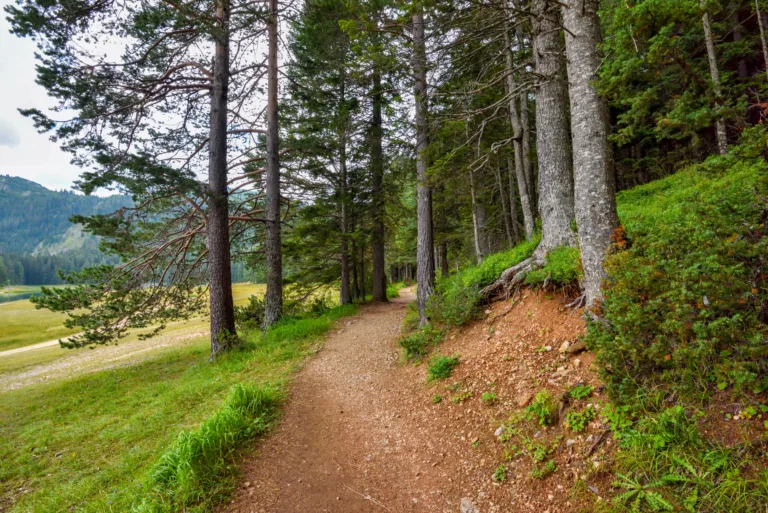
Santa Teresa County Park
For those seeking quieter trails with stunning ridge-top scenery, Santa Teresa County Park is an excellent choice. The popular Stile Ranch and Bernal Hill trails feature rolling hills, rocky outcrops, and expansive views of the Santa Clara Valley. These routes are well-suited to intermediate hikers who enjoy a mix of moderate climbs and open grassland. In spring, the area is known for its vivid wildflower blooms, making it one of the best seasonal hiking destinations in San Jose.
Sierra Vista Open Space Preserve
Adjacent to Alum Rock, Sierra Vista Open Space Preserve offers more remote-feeling trails with impressive vistas. The Boccardo Loop and Sierra Vista Trail provide challenging climbs, rewarding hikers with sweeping views of San Jose and distant mountain ranges. With its well-maintained paths and interpretive signs, this preserve is ideal for hikers who want a more rugged experience while still remaining close to the city. It is a top pick for sunrise and sunset hikes thanks to its elevated viewpoints.
Comparing The Best Hiking Trails In San Jose CA
To help you choose the right destination, the table below summarizes key details about the best hiking trails in San Jose, CA, including difficulty, distance, and highlights.
| Trail / Park | Difficulty | Typical Distance | Key Highlights |
|---|---|---|---|
| Alum Rock Park | Easy to Moderate | 2–6 miles | Historic park, creekside trails, canyon views |
| Almaden Quicksilver County Park | Moderate to Strenuous | 4–10+ miles | Historic mines, valley vistas, long loop options |
| Santa Teresa County Park | Moderate | 3–7 miles | Ridge views, wildflowers, rolling hills |
| Sierra Vista Open Space Preserve | Moderate to Strenuous | 4–8 miles | Expansive city views, quiet trails, scenic loops |
Conclusion
San Jose’s hiking scene is both diverse and accessible, offering urban residents and visitors a convenient way to connect with nature. Whether you prefer a gentle walk through historic Alum Rock Park, a challenging climb in Almaden Quicksilver, or panoramic ridge hikes at Santa Teresa and Sierra Vista, you will find trails that match your fitness level and scenic preferences. By exploring these best hiking trails in San Jose, CA, you can enjoy stunning landscapes, local history, and fresh air just minutes from the heart of Silicon Valley.
Finding the Best Hiking Trails in San Jose, CA
What are some of the best hiking areas near San Jose, CA for a variety of skill levels?
Some of the top hiking areas near San Jose that offer routes for different skill levels include Alum Rock Park, Almaden Quicksilver County Park, and Santa Teresa County Park. Alum Rock Park features shorter creekside trails and moderate climbs with canyon views, making it ideal for families and casual hikers. Almaden Quicksilver offers a large network of historic mining-era trails with rolling hills and longer loops that suit both intermediate and experienced hikers. Santa Teresa County Park provides moderate trails with rewarding city and valley views, suitable for those comfortable with some elevation gain but not seeking very strenuous terrain. These parks are all within a short drive of downtown San Jose and are well-maintained with marked routes.
How can I find easy, family-friendly hiking trails in San Jose?
To find easy, family-friendly trails in San Jose, look for routes with minimal elevation gain, good signage, and amenities such as restrooms and picnic areas. Alum Rock Park offers mellow trails along Penitencia Creek that are mostly flat and shaded, ideal for children and beginners. Los Gatos Creek Trail, accessible from the Willow Glen and Los Gatos areas, provides a paved and gravel multi-use path suitable for strollers and bikes. You can also use apps and websites such as AllTrails, REI Hiking Project, or county park maps and filter for routes rated “easy,” under five miles, and with less than around 500 feet of elevation gain. Reading recent user reviews will help you confirm trail conditions and crowd levels before you go.
Where can I go in San Jose for scenic hikes with great views?
For scenic hikes with strong viewpoints near San Jose, consider Sierra Vista Open Space Preserve, Alum Rock Park, and Santa Teresa County Park. The Boccardo Loop Trail at Sierra Vista provides wide-open ridge walking with expansive views of the Santa Clara Valley and Diablo Range, especially clear on cooler days. Alum Rock Park’s higher elevation trails on the North Rim or South Rim offer canyon and city views, particularly around sunrise or late afternoon. At Santa Teresa County Park, the trails near Coyote Peak and Bernal Hill deliver panoramic vistas of San Jose and the surrounding foothills. When planning, check park maps for loops that reach a named peak, overlook, or ridge, as those routes typically offer the best viewpoints.
How can I evaluate trail difficulty and conditions before hiking near San Jose?
To evaluate trail difficulty and conditions, review route length, total elevation gain, trail surface, and recent reports from hikers. County and city park websites provide official maps with distance and elevation profiles for popular routes. Third-party platforms such as AllTrails list user-generated ratings for difficulty, along with comments on steep sections, shade, mud, or overgrowth. Look for key indicators like whether the trail is steep over a short distance, exposed to sun, or shared with mountain bikes or horses. For San Jose specifically, checking the Santa Clara County Parks website, the Open Space Authority pages, and local weather forecasts helps you understand heat, air quality, and potential closures due to fire risk or maintenance before committing to a route.
What safety tips should I follow when hiking trails around San Jose, CA?
When hiking around San Jose, start by checking the weather and air quality, especially during hot summer days or wildfire season, and avoid peak heat in the midafternoon. Carry sufficient water, at least one to two liters per person for shorter local hikes, and more for longer or exposed routes. Wear sturdy footwear, sun protection, and light layers, as foothill temperatures and wind can change quickly. Stay on marked trails, give snakes and wildlife ample space, and watch for poison oak, which is common in shaded areas. Let someone know your planned route and expected return time, and download an offline map on your phone in case reception is poor. Finally, consult local park websites for any trail closures, parking fees, or regulations about dogs and trail use before you arrive.


latest video
news via inbox
Sign up to get local tips delivered to your inbox.

