Best Hiking Trails in San Francisco, CA
Best Hiking Trails In San Francisco
San Francisco, CA offers some of the most scenic and diverse hiking trails in Northern California, attracting outdoor enthusiasts from around the world. From rugged coastal paths overlooking the Pacific Ocean to peaceful forested routes in the Presidio, the city’s unique geography provides options for every skill level. As you explore these top-rated trails, you’ll encounter iconic landmarks, stunning vistas, and rich local wildlife, all within a short distance of urban conveniences. Moreover, many of these San Francisco hiking trails are easily accessible by public transportation, making it simple for visitors and residents alike to plan a quick escape into nature. In the following sections, we will highlight the best hikes in San Francisco, focusing on trail difficulty, scenic value, and must-see viewpoints so you can choose the perfect route for your next outdoor adventure in this remarkable coastal city.


Introduction
San Francisco, CA is renowned for its stunning coastal views, rolling hills, and iconic landmarks, making it a top destination for outdoor enthusiasts. For hikers, the city offers an impressive network of trails that cater to every skill level, from leisurely coastal walks to challenging summit climbs. This article highlights the best hiking trails in San Francisco, helping you plan your next adventure while optimizing your time on the trail.
Lands End Trail
The Lands End Trail is one of San Francisco’s most scenic coastal hikes, located in the northwest corner of the city. This trail offers dramatic views of the Golden Gate Bridge, the Marin Headlands, and the Pacific Ocean. Featuring well-maintained paths, cypress trees, and access to the historic Sutro Baths, it is ideal for both beginners and intermediate hikers. As you make your way along the bluff, you will enjoy a combination of natural beauty and historic charm, all within city limits.
| Trail | Distance | Difficulty | Main Highlights |
|---|---|---|---|
| Lands End Trail | 3.5 miles round trip | Easy to Moderate | Golden Gate views, coastal cliffs, Sutro Baths |
Twin Peaks Summit Trail
For panoramic city views, the Twin Peaks Summit Trail is a must-hike. Rising nearly 1,000 feet above sea level, Twin Peaks offers one of the best 360-degree vistas of San Francisco, including downtown, the bay, and surrounding hills. The hike is relatively short but can be steep and windy, so proper footwear and layers are recommended. As you ascend, the urban landscape gradually unfolds, providing excellent photo opportunities and a rewarding summit experience.
| Feature | Details |
|---|---|
| Approximate Distance | 1–2 miles depending on route |
| Best Time To Hike | Clear mornings or late afternoons |
| Accessibility | Trail and roadway access, parking nearby |
Mount Sutro Open Space Reserve
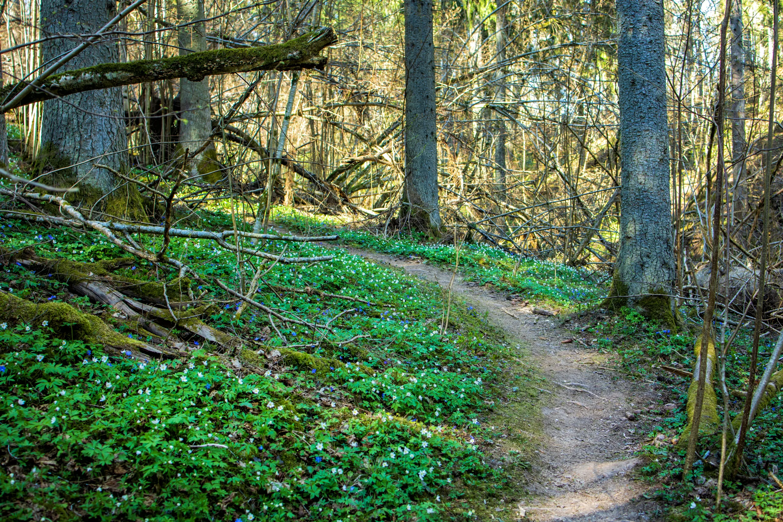
Hidden in the heart of the city, the Mount Sutro Open Space Reserve offers lush, forested trails enveloped in eucalyptus trees and coastal fog. This network of trails provides a quiet escape from urban noise and is perfect for those seeking a shaded, moderate hike. The paths wind gently up and down the hillside, making it a great choice for trail runners and casual hikers alike. Moreover, its central location makes it an easily accessible green retreat for locals and visitors.
Presidio Trails And Batteries To Bluffs
The Presidio, a former military base turned national park site, features an extensive trail system, with the Batteries to Bluffs Trail standing out as a highlight. This trail combines coastal bluffs, historic military batteries, and striking Golden Gate Bridge views. Stair sections add a bit of a workout, but the rewards are unmatched ocean vistas and photo-worthy viewpoints. Additionally, you can connect with other Presidio trails, such as the Bay Area Ridge Trail or the Ecology Trail, to extend your hike and explore more of this historic landscape.
Angel Island State Park Accessed From San Francisco
While technically a short ferry ride away, Angel Island State Park is often included in discussions of the best hikes near San Francisco. Once on the island, you can explore the Perimeter Road or ascend Mount Livermore for sweeping views of the San Francisco skyline, Marin, and the East Bay. The island offers a unique mix of natural scenery and historic sites, including former military installations and immigration station buildings. Therefore, it is an excellent full-day hiking destination for those looking to combine history and outdoor recreation.
Conclusion
From coastal cliffs to forested hills and sweeping city panoramas, San Francisco’s hiking trails deliver an exceptional outdoor experience. Whether you choose the rugged beauty of Lands End, the elevated views of Twin Peaks, or the tranquil forests of Mount Sutro, each trail showcases a different side of the city. By exploring these top-rated routes, you will not only stay active but also gain a deeper appreciation for San Francisco’s diverse landscapes and natural charm.
Finding the Best Hiking Trails in San Francisco, CA
What are some of the best beginner-friendly hiking trails in San Francisco?
How can I find hiking trails in San Francisco that offer the best views of the Golden Gate Bridge?
Where can I find reliable information and maps for hiking trails in San Francisco?
What should I consider regarding safety and weather when hiking in San Francisco?
Are there dog-friendly hiking trails in San Francisco, and how do I find them?


latest video

news via inbox
Sign up to get local tips delivered to your inbox.

