Best Hiking Trails in Sacramento, CA
Best Hiking Trails In Sacramento CA
Nestled in California’s scenic Central Valley, Sacramento offers an impressive network of hiking trails that appeal to outdoor enthusiasts of every skill level. From peaceful riverside paths along the American River Parkway to rugged foothill routes near Folsom Lake, the region provides a diverse mix of family-friendly walks, birdwatching spots, and challenging climbs. Moreover, Sacramento’s generally mild climate makes it possible to enjoy these trails almost year-round, attracting both locals and visitors searching for fresh air and natural beauty. As you explore the best hiking trails in Sacramento, CA, you’ll discover oak-st\\udded landscapes, seasonal wildflowers, and stunning river vistas that showcase the area’s unique charm. With convenient access from downtown and surrounding neighborhoods, these top-rated trails make it easy to plan quick day hikes, weekend outings, or active vacations centered around Northern California’s great outdoors.

Best Hiking Trails In Sacramento CA
Sacramento, California, offers a surprisingly rich network of hiking trails that blend riverfront scenery, oak woodlands, and urban accessibility. Whether you are a local looking for a quick nature escape or a visitor planning an outdoor-focused itinerary, Sacramento’s trails deliver variety, convenience, and natural beauty. This guide explores the best hiking trails in Sacramento, CA, highlighting what makes each route unique and why they deserve a spot on your must-hike list.
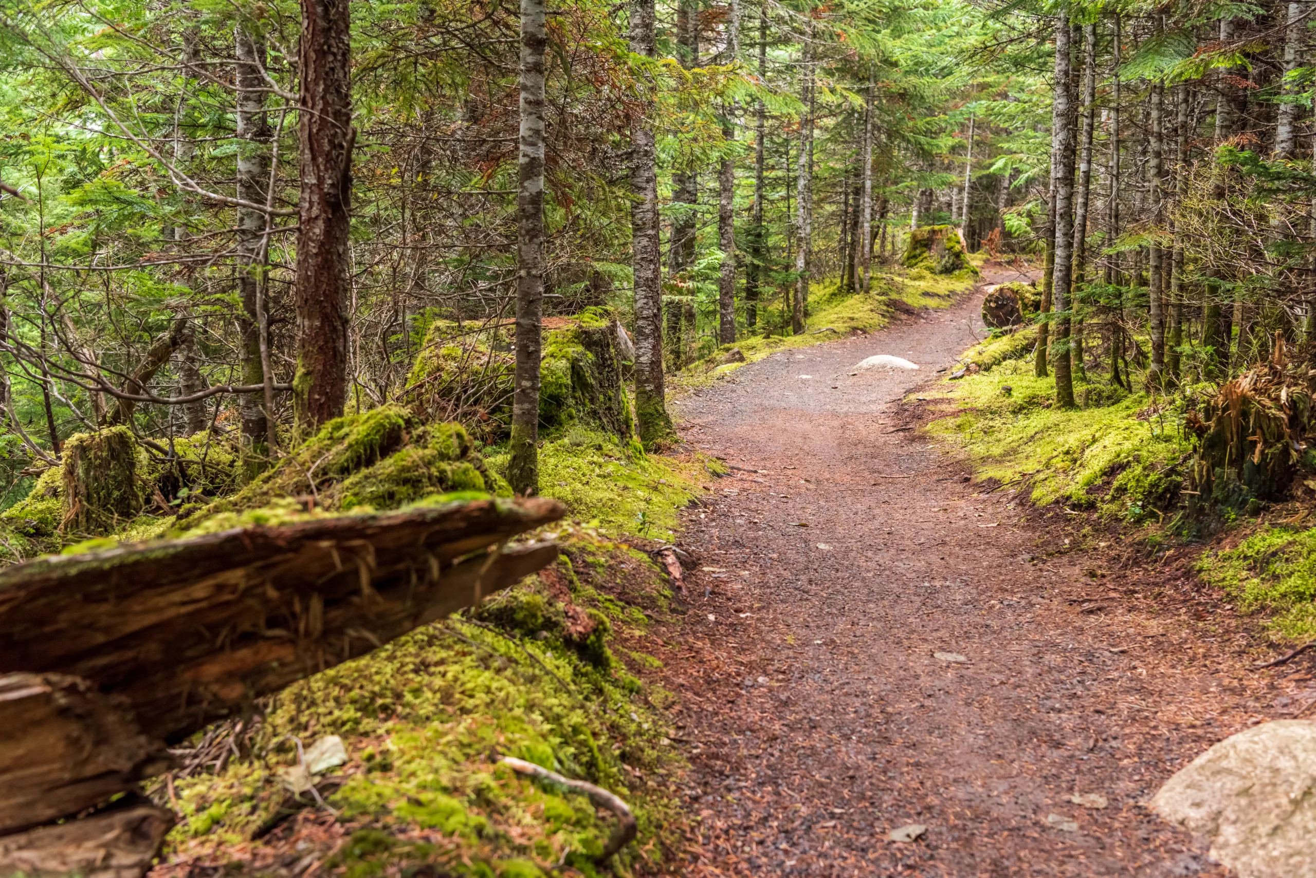
American River Parkway
The American River Parkway is often called the “jewel of Sacramento” for good reason. Stretching roughly 32 miles along the American River, this multi-use corridor offers numerous access points, making it ideal for both short strolls and longer hikes. As you follow the paved and dirt paths, you will enjoy scenic river views, shaded oak groves, and abundant wildlife such as deer, rabbits, and migratory birds. Moreover, the Parkway connects several popular parks and recreation areas, providing convenient parking and amenities along the way.
For hikers, some of the best sections include the areas near Ancil Hoffman Park, Discovery Park, and Howe Avenue. These segments offer a mix of flat terrain and gentle inclines, suitable for most skill levels. Because the Parkway is popular year-round, it is wise to visit early in the morning or on weekdays for a quieter experience.
| Trail Section | Approx Distance | Difficulty | Main Highlights |
|---|---|---|---|
| Discovery Park to Howe Ave | 6–8 miles round trip | Easy | River views, paved and dirt options |
| Ancil Hoffman Park Loop | 2–4 miles | Easy to Moderate | Oak woodland, wildlife viewing |
| Howe Ave to Sunrise Blvd | 8–10 miles round trip | Moderate | Longer mileage, scenic stretches |
Effie Yeaw Nature Center Trails
Nested within Ancil Hoffman Park, the Effie Yeaw Nature Center offers some of the best family-friendly hiking in Sacramento. Its interconnected dirt trails wind through riparian forest, open meadows, and along the American River. Educational signs and frequent ranger programs make this area especially appealing to families and beginners eager to learn more about local ecosystems.
The terrain is mostly flat, making it accessible to a wide range of visitors. As you explore, you may encounter wild turkeys, woodpeckers, and even the occasional coyote. Because the trails are relatively short, they are perfect for combining with a picnic or a visit to the on-site interpretive center.
Jedediah Smith Memorial Trail
Often considered part of the American River Parkway, the Jedediah Smith Memorial Trail deserves special mention for long-distance hikers and cyclists. Extending about 32 miles from Old Sacramento to Folsom, this paved route is ideal for fitness-focused hikers seeking a longer, continuous path. Scenic overlooks, river access points, and well-maintained facilities make it a standout choice for endurance training or full-day excursions.
Although primarily paved, there are numerous dirt spur trails leading down to beaches and natural areas. This combination of accessibility and natural immersion makes the Jedediah Smith Memorial Trail one of the top hiking trails in Sacramento for all-season recreation.
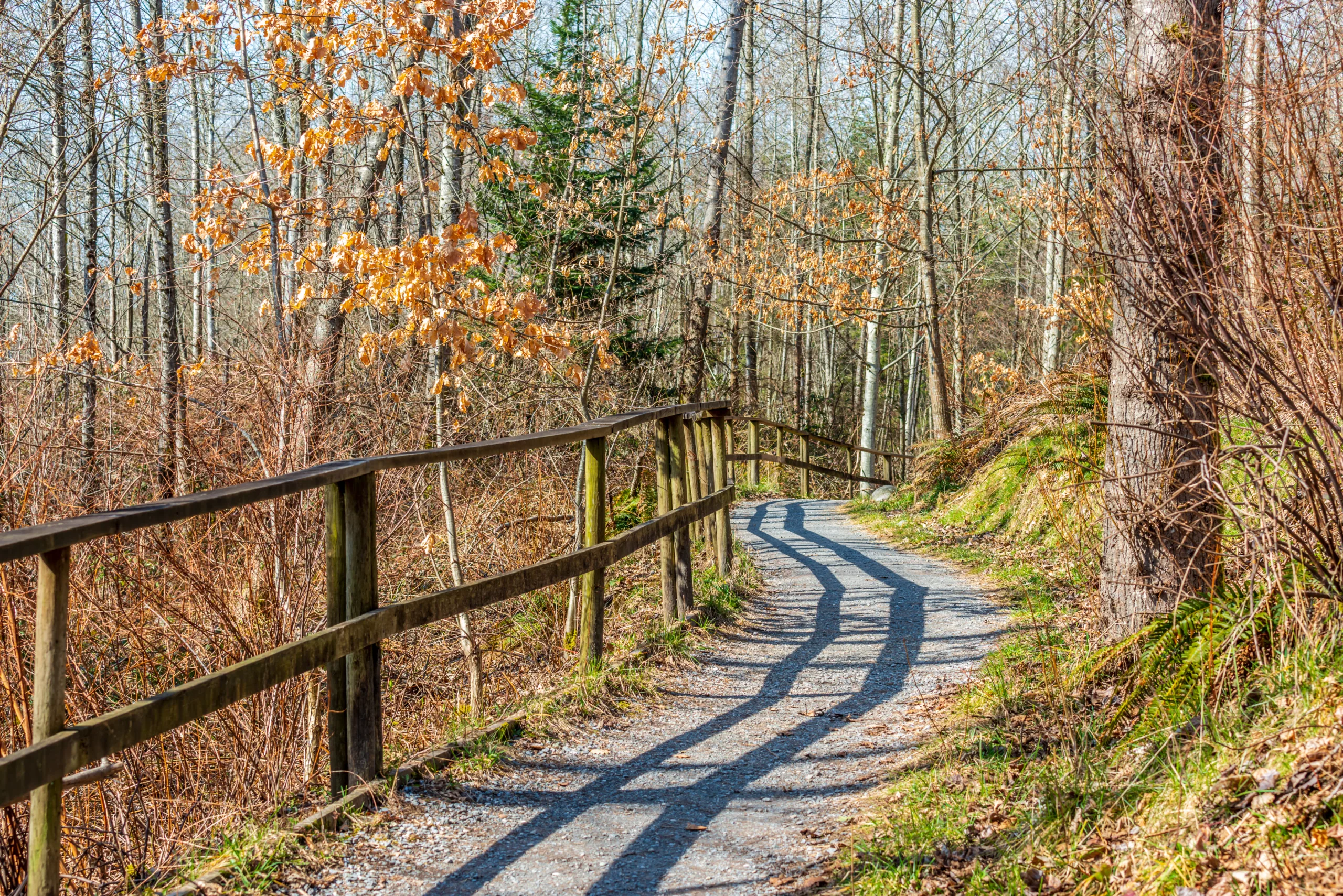
Other Noteworthy Local Trails
In addition to the marquee destinations, Sacramento offers several smaller but worthwhile hiking areas. These spots provide quieter alternatives while still delivering scenic value and convenient access.
| Trail | Location | Distance | Key Features |
|---|---|---|---|
| Cosumnes River Preserve Trails | South of Sacramento | 1–5 miles | Wetlands, birdwatching, boardwalks |
| Mather Lake Regional Park | East Sacramento | 1–3 miles | Lakeside paths, fishing access |
| Lake Natoma Area Trails | Near Folsom | 2–8 miles | Water views, mixed-use paths |
Conclusion
From the expansive American River Parkway to the educational trails of Effie Yeaw Nature Center, Sacramento offers an impressive variety of hiking options for every experience level. The region’s riverfront corridors, wildlife-rich preserves, and easily accessible urban trails make it a prime destination for outdoor enthusiasts. By exploring these best hiking trails in Sacramento, CA, you will not only enjoy fresh air and exercise, but also discover why the city’s natural landscape is one of its greatest assets.
Finding the Best Hiking Trails in Sacramento, CA
How can I find the best hiking trails in and around Sacramento, CA?
What are some popular beginner-friendly hiking areas near Sacramento?
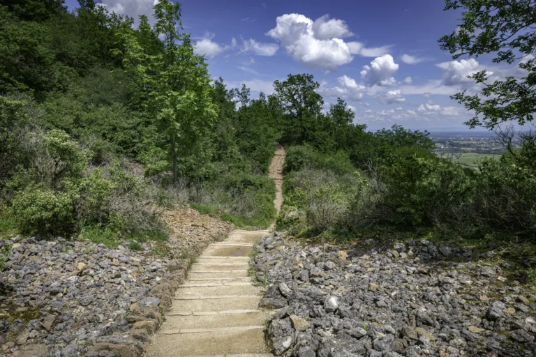
Where can I find more challenging hikes with elevation and views near Sacramento?
When is the best time of year to go hiking in the Sacramento area?
What safety tips should I follow when exploring hiking trails around Sacramento?


latest video

news via inbox
Sign up to get local tips delivered to your inbox.


