Best Hiking Trails in Rowland Heights, CA
Best Hiking Trails In Rowland Heights CA
Nestled at the edge of the picturesque Puente Hills, Rowland Heights, CA offers some of the most rewarding hiking experiences in Southern California. This vibrant community is home to a variety of scenic hiking trails that cater to beginners, families, and seasoned outdoor enthusiasts alike. From gently rolling foothill paths to more challenging ridge routes, each trail showcases panoramic views, diverse wildlife, and peaceful natural landscapes.
As you explore the best hiking trails in Rowland Heights, you’ll discover convenient access points, well-maintained routes, and opportunities for both short strolls and longer adventures. Moreover, the area’s mild climate and year-round accessibility make it an ideal destination for regular hikes and weekend excursions. In the following sections, we will highlight the top trails, share insider tips on parking and safety, and help you choose the perfect hike for your next outdoor getaway in Rowland Heights.
Introduction
Rowland Heights, CA, nestled in the eastern San Gabriel Valley, is a hidden gem for outdoor enthusiasts. With close proximity to the Puente Hills and the larger San Gabriel Mountains, this community offers a variety of scenic hiking trails suitable for all skill levels. In this guide, we will explore the best hiking trails in Rowland Heights, highlighting trail features, difficulty levels, and tips to help you plan a safe and memorable hike.
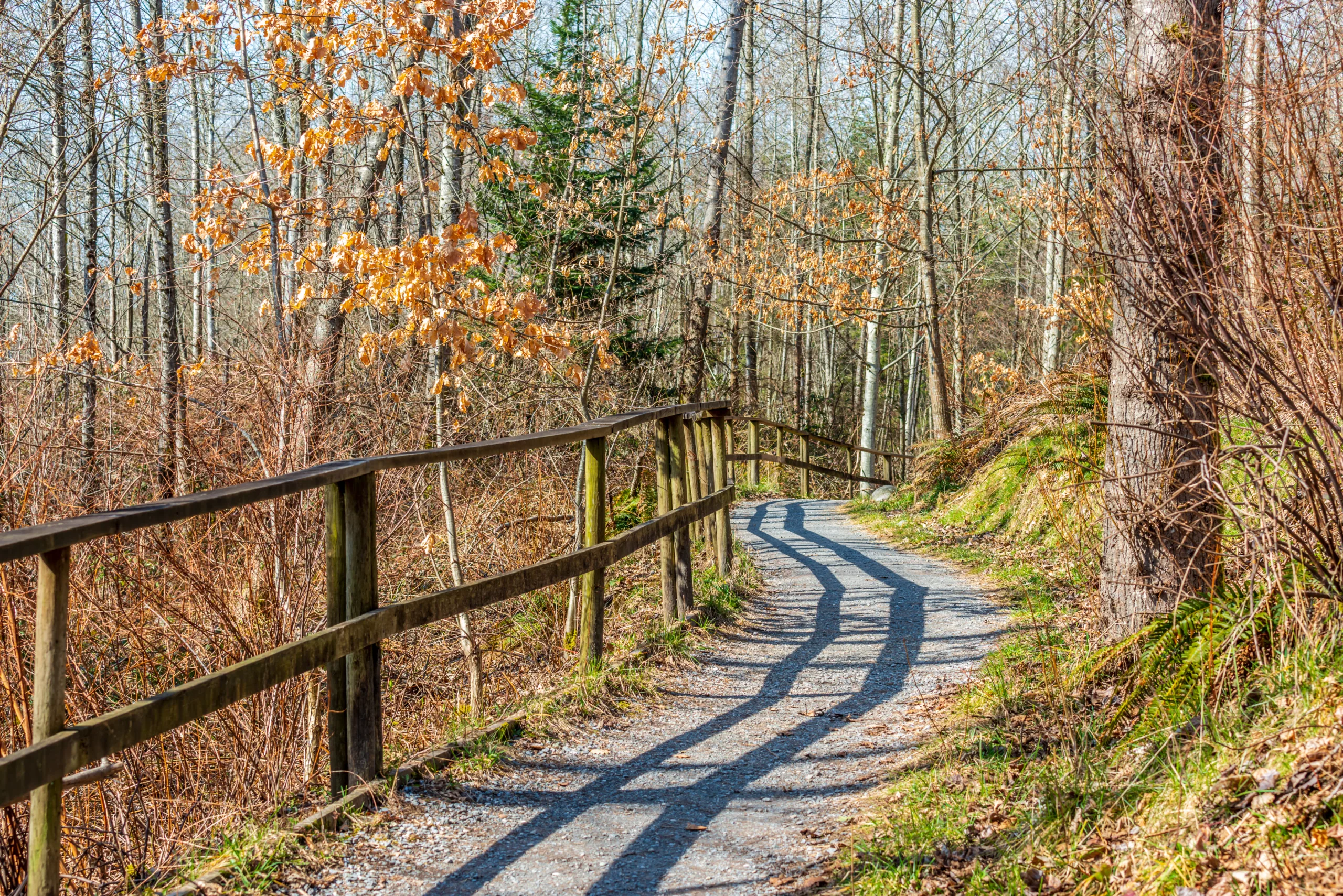
Pathfinder Community Regional Park Trails
One of the most popular hiking destinations in Rowland Heights is Pathfinder Community Regional Park. This park features a network of interconnected trails that provide moderate elevation gain and panoramic views of the valley. The well-maintained paths are ideal for beginning to intermediate hikers and families, and they are also dog-friendly. As you move along the ridgelines, you can enjoy sweeping vistas, especially during sunrise and sunset, making this area a favorite for local photographers and fitness enthusiasts alike.
To better understand what Pathfinder Community Regional Park offers, review the table below:
| Trail Feature | Details |
|---|---|
| Difficulty | Easy to Moderate |
| Approximate Distance | 1–4 miles (various loop options) |
| Elevation Gain | 200–600 feet |
| Highlights | City views, rolling hills, family-friendly paths |
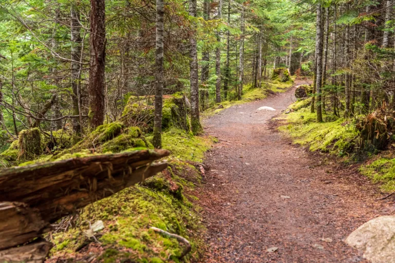
Schabarum Regional Park Skyline Trails
Another standout hiking destination is the Skyline Trails in Schabarum Regional Park, which borders Rowland Heights and neighboring cities. These trails offer a more extensive network for hikers seeking longer, more challenging outings. With a mix of dirt fire roads and single-track paths, the Skyline Trails are ideal for moderate to advanced hikers looking to build endurance and enjoy expansive ridge-top views.
In addition, Schabarum Regional Park is known for its seasonal wildflowers, particularly in spring, when the hillsides come alive with color. The wide, open terrain and interconnected route options allow you to customize your hike, whether you prefer a quick morning workout or a longer weekend adventure.
| Trail Feature | Details |
|---|---|
| Difficulty | Moderate |
| Approximate Distance | 3–8 miles (out-and-back or loop options) |
| Elevation Gain | 500–1,200 feet |
| Highlights | Ridge-line views, wildflowers, sunset vistas |
Safety Tips And Best Times To Hike
To fully enjoy the best hiking trails in Rowland Heights, it is important to plan ahead. Start early in the morning or later in the afternoon to avoid midday heat, especially during summer. Always bring plenty of water, wear appropriate footwear, and use sun protection, including a hat and sunscreen. Because many sections are exposed, staying hydrated and protected from the sun is essential. Additionally, check local trail conditions and park hours before you go, and consider hiking with a friend or group for added safety.
Conclusion
From the accessible loops at Pathfinder Community Regional Park to the expansive Skyline Trails at Schabarum Regional Park, Rowland Heights offers a diverse range of hiking experiences. These trails provide not only physical exercise, but also opportunities to connect with nature and enjoy stunning views of the San Gabriel Valley. By choosing the right route, preparing adequately, and respecting the natural environment, you can make the most of these top hiking trails in Rowland Heights, CA and return again and again for new outdoor adventures.
Finding the Best Hiking Trails in Rowland Heights, CA
Where can I find the most popular hiking trails in Rowland Heights, CA?
Popular hiking options in Rowland Heights include trails within Schabarum Regional Park, which offers multiple interconnected paths with varying difficulty levels and scenic viewpoints. Nearby Powder Canyon and Puente Hills Preserve also provide well-known trails with access points close to Rowland Heights. These areas are managed as part of larger regional open spaces, so they typically have maintained paths, map boards at trailheads, and marked junctions, making them ideal for hikers seeking established and frequently used routes.
How can I choose a hiking trail in Rowland Heights that matches my fitness level?
To match a trail to your fitness level, review distance, elevation gain, and surface conditions before you go. Shorter loop trails within Schabarum Regional Park are usually suitable for beginners, as they tend to have gentler grades and clearer signage. If you are more experienced, look for routes that include steeper climbs toward hilltop viewpoints or ridge lines within the Puente Hills. Online trail platforms, park maps, and recent user reviews can help you verify whether a route is easy, moderate, or challenging. When in doubt, start with a shorter, easier trail and gradually work up to longer hikes as you become familiar with the local terrain.
What is the best time of day and season to hike in Rowland Heights?
The most comfortable times to hike in Rowland Heights are early morning or late afternoon, when temperatures are cooler and the sun is less intense. Spring and fall generally offer mild weather, greener hillsides, and clearer visibility. Summer afternoons can be hot, especially on exposed ridges, so plan shorter routes, bring extra water, and use sun protection if you hike during warmer months. After winter storms, check for trail condition updates from Los Angeles County Parks or relevant land managers, as some paths can become muddy, temporarily closed, or more difficult to navigate.
Are there family-friendly or beginner-friendly hiking options in Rowland Heights?
Yes, several trails in and around Rowland Heights are suitable for families and beginners. Within Schabarum Regional Park, look for shorter loop trails and wide, well-graded paths that stay near the main park facilities. These often have gentler slopes and convenient access to restrooms, picnic areas, and parking. Some nearby trailheads in the Puente Hills also offer relatively flat routes along fire roads, which are easier for new hikers, children, and those who prefer a more relaxed pace. Always check distance and estimated hiking time ahead of your visit to ensure the route is appropriate for your group.
What should I consider for safety and preparation when hiking in Rowland Heights?
When hiking in Rowland Heights, wear sturdy footwear with good traction, bring sufficient water, and use sun protection such as a hat, sunscreen, and sunglasses, since many local trails have limited shade. Check weather forecasts and park alerts, and let someone know your planned route and estimated return time, especially if you are exploring less crowded sections of the Puente Hills. Stay on designated trails to avoid erosion, poison oak, and wildlife habitat. Carry a fully charged phone, a small first-aid kit, and a map or offline navigation app in case cell coverage is limited. Observe any posted signs regarding trail closures, fire danger levels, and wildlife, and pack out all trash to help keep the area clean for other hikers.


latest video
news via inbox
Sign up to get local tips delivered to your inbox.


