Best Hiking Trails in Rosemead, CA
Best Hiking Trails In Rosemead CA
Rosemead, CA offers a surprising variety of scenic hiking trails that appeal to both casual walkers and seasoned outdoor enthusiasts. Nestled in the heart of the San Gabriel Valley, this vibrant community provides convenient access to tranquil parks, lush canyon paths, and gently rolling hills. As you explore the best hiking trails in Rosemead, you will discover peaceful routes perfect for early morning workouts, family outings, or weekend nature escapes. Moreover, many of these trails connect to larger regional networks, allowing you to extend your adventure into neighboring cities and natural areas. In the following sections, we will highlight the most popular paths, outline key trail features, and share practical tips to enhance your outdoor experience. Whether you are seeking panoramic views, wildlife sightings, or quiet green spaces, Rosemead’s hiking options provide an ideal starting point for your next journey into nature.

Introduction
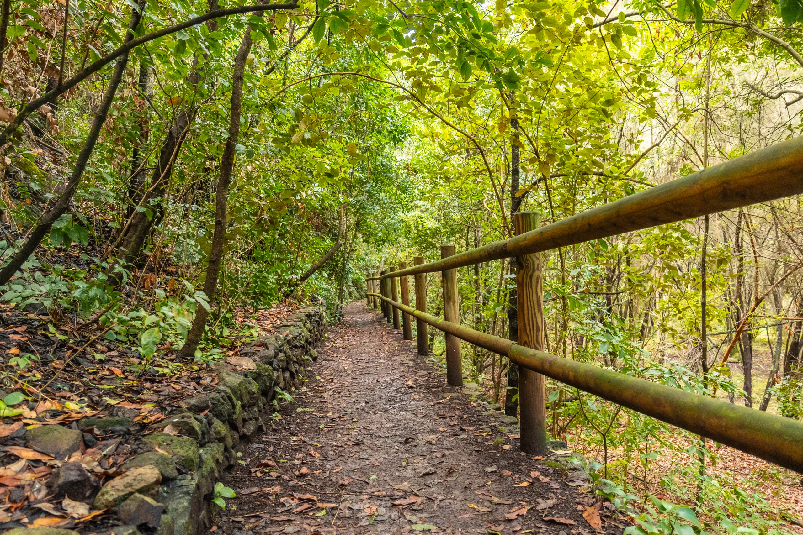
Located in the western San Gabriel Valley, Rosemead, CA offers convenient access to some of the best hiking trails in the Los Angeles area. While Rosemead itself is a compact, largely residential city, it sits near a network of scenic urban greenbelts and foothill routes that attract both beginners and seasoned hikers. This guide highlights the best hiking trails near Rosemead and provides practical details so you can plan a safe, enjoyable outdoor adventure.
Top Hiking Areas Near Rosemead
Because Rosemead’s city limits are relatively flat and developed, many hikers travel just a few minutes to neighboring communities for more substantial trails. Fortunately, the nearby San Gabriel Mountains, Whittier Narrows area, and local nature preserves provide diverse terrain, from paved river paths to rugged canyon routes. Below is an overview of top destinations within a short drive of Rosemead.
| Trail / Area | Approx. Distance From Rosemead | Difficulty | Highlights |
|---|---|---|---|
| Rosemead Park & Rio Hondo Bike Path Access | Within city | Easy | Flat, paved riverside paths, great for walking |
| Whittier Narrows Recreation Area | 5–10 minutes | Easy–Moderate | Lakes, bird‑watching, river views |
| Santa Fe Dam Recreation Area | 15–20 minutes | Easy–Moderate | Loop trails, mountain vistas, family friendly |
| Eaton Canyon Natural Area | 20–25 minutes | Moderate | Waterfall, canyon scenery, interpretive center |
| Turnbull Canyon Trails | 20–25 minutes | Moderate–Challenging | Ridgeline views, rolling hills, sunset spots |
Rosemead Park And Rio Hondo Path
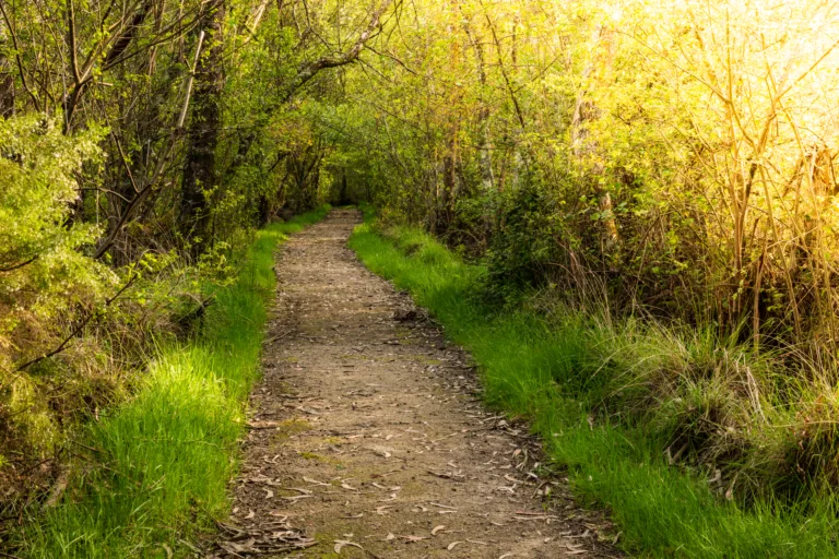
For those seeking an easy, local hike in Rosemead, the paths around Rosemead Park and connecting segments of the Rio Hondo Bike Path are ideal. These flat, paved routes are not only perfect for walking and running, but they also offer safe, family‑friendly access to urban nature. While not a mountain trail, this corridor provides greenery, river views, and a convenient option for daily exercise without leaving the city.
Whittier Narrows Recreation Area
Just southwest of Rosemead, Whittier Narrows Recreation Area is a major outdoor destination with a network of multi‑use trails. Here, you can walk around lakes, follow the Rio Hondo and San Gabriel riverbanks, and enjoy extensive wildlife viewing. The terrain is mostly level, making it suitable for beginners and those looking for longer but less strenuous routes. Because the area connects with regional bike paths, it is easy to extend your hike into a longer river‑trail adventure.
Santa Fe Dam Recreation Area
North of Rosemead, Santa Fe Dam Recreation Area features loop trails around a large reservoir with expansive views of the San Gabriel Mountains. The paths vary from paved to well‑graded dirt, allowing hikers to choose a route that matches their comfort level. This area is especially attractive for families, as you can combine a scenic walk with picnicking, fishing, or simply enjoying the lakeside breeze.
Eaton Canyon And Turnbull Canyon
For hikers seeking more elevation gain and dramatic vistas, Eaton Canyon Natural Area in Pasadena and Turnbull Canyon near Whittier are two of the best options close to Rosemead. Eaton Canyon’s waterfall trail offers a rewarding destination, along with interpretive exhibits that highlight local geology and wildlife. Meanwhile, Turnbull Canyon provides rolling ridgelines, panoramic city and mountain views, and several interconnected routes that can be tailored to your desired intensity.
Trail Comparison And Planning Tips
To help you quickly evaluate your options, the table below compares some key hiking factors near Rosemead. Use it to match trail choices with your fitness level, time constraints, and desired scenery.
| Trail Area | Typical Route Length | Best For | Parking / Access |
|---|---|---|---|
| Rosemead Park & Rio Hondo | 1–5 miles | Daily walks, beginners, kids | City park lots, neighborhood access |
| Whittier Narrows | 2–8 miles | Scenic strolls, birders, cyclists | Large paid and free lots |
| Santa Fe Dam | 3–7 miles | Families, fitness walkers | On‑site parking (fee on some days) |
| Eaton Canyon | 3–5 miles | Moderate hikes, waterfall seekers | Visitor center lot (arrive early) |
| Turnbull Canyon | 4–10+ miles | Training hikes, sunrise/sunset views | Street parking at trailheads |
Conclusion
Although Rosemead is primarily an urban community, its central location offers excellent access to a variety of hiking trails that cater to every experience level. From the neighborhood‑friendly paths along the Rio Hondo to the rugged canyons of Eaton and Turnbull, you can easily find routes that fit your schedule, fitness goals, and scenic preferences. By planning ahead, staying hydrated, and respecting local regulations, you will be well prepared to explore the best hiking near Rosemead, CA, and fully enjoy the natural beauty of the San Gabriel Valley.
Finding the Best Hiking Trails in Rosemead, CA
Where can I find the best beginner-friendly hiking trails near Rosemead, CA?
How can I discover less crowded hiking trails around Rosemead, CA?
What online resources are best for evaluating hiking trail difficulty near Rosemead, CA?
Are there family-friendly or stroller-accessible trails close to Rosemead, CA?
What should I consider for safety when choosing hiking trails near Rosemead, CA?

latest video
news via inbox
Sign up to get local tips delivered to your inbox.


