Best Hiking Trails in Pomona, CA
Best Hiking Trails In Pomona CA
Discovering the best hiking trails in Pomona, CA is an ideal way to experience Southern California’s natural beauty while staying close to the city. Nestled near the San Gabriel Valley and the Inland Empire, Pomona offers a surprising variety of scenic routes, from gentle nature walks to more challenging climbs with rewarding vistas. In this guide, we will highlight the top-rated Pomona hiking trails that appeal to fitness enthusiasts, families, and casual walkers alike. As you explore these paths, you’ll enjoy panoramic views, diverse native plants, and opportunities for wildlife spotting.
Moreover, these Pomona hiking spots are conveniently located near major freeways, making them easy to access for both locals and visitors. Whether you’re seeking a peaceful sunrise hike or a weekend adventure, the following sections will help you choose the perfect trail, prepare appropriately, and hike safely while appreciating Pomona’s outdoor attractions.

Introduction
Pomona, CA, located in the eastern Los Angeles County region, offers an impressive variety of scenic hiking opportunities for outdoor enthusiasts. From gentle nature walks to more challenging ridgeline climbs, the best hiking trails in Pomona provide beautiful views, native wildlife, and convenient access for both locals and visitors. This guide explores top-rated trails, highlights what makes each one unique, and offers useful tips for planning your next hike in Pomona.
Bonelli Regional Park Trails
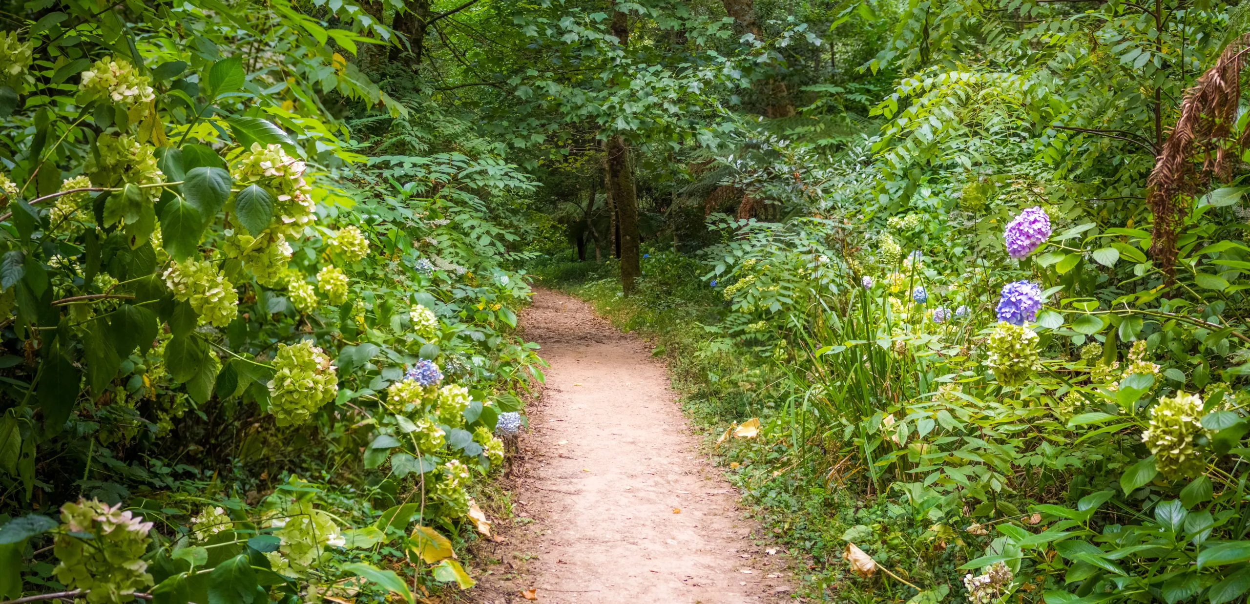
One of the most popular hiking destinations near Pomona is **Frank G. Bonelli Regional Park**, situated just to the northwest of the city. This expansive park features a network of multi-use trails circling Puddingstone Lake and weaving through rolling hills. Hikers can enjoy **lakefront scenery, shaded sections, and wide paths** suitable for families and beginners.
Several loop options allow you to customize your distance, making Bonelli ideal for both quick morning walks and longer weekend hikes. In addition, the well-maintained paths make this a good choice for trail running and fitness-focused outings. Early mornings and weekdays tend to be less crowded, offering a quieter outdoor experience.
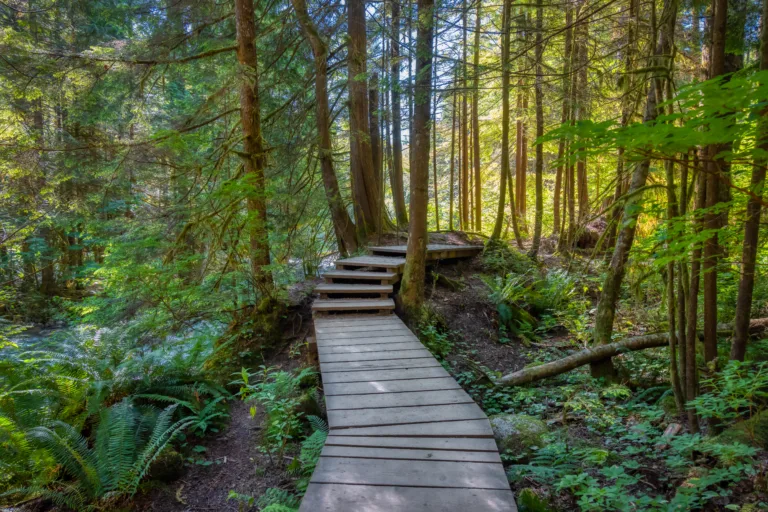
Claremont Hills Wilderness Park Loop
Although technically located in nearby Claremont, the **Claremont Hills Wilderness Park Loop** is a top trail choice for Pomona residents due to its close proximity. This 5-mile loop provides a moderate challenge with consistent elevation gain, making it popular among hikers looking to improve their endurance. As you ascend, you are rewarded with **panoramic views of the San Gabriel Mountains and the Pomona Valley**.
The trail is mostly exposed, so proper sun protection and plenty of water are essential. However, the wide, well-marked path makes navigation simple and encourages a steady hiking pace. For visitors staying in Pomona, this trail is a must-visit for sunrise or sunset vistas.
Mountain Meadows And Via Verde Area
For those seeking quieter paths close to Pomona, the **Mountain Meadows and Via Verde area** offers several interconnected trails with gentle inclines. These routes are excellent for beginners, casual walkers, or anyone easing back into hiking. Rolling hills, golf course views, and patches of native vegetation create a peaceful atmosphere just minutes from urban amenities.
Because these trails are less crowded than some of the region’s better-known routes, they provide a more relaxed environment for birdwatching or photography. Gradual elevation changes make them particularly suitable for families with children or hikers who prefer shorter outings.
Trail Comparison Table
| Trail Name | Approx. Distance | Difficulty | Main Highlights |
|---|---|---|---|
| Frank G. Bonelli Regional Park Trails | 2–8 miles (various loops) | Easy to Moderate | Lake views, wide paths, family-friendly routes |
| Claremont Hills Wilderness Park Loop | ~5 miles | Moderate | Elevation gain, valley and mountain vistas, fitness-focused |
| Mountain Meadows / Via Verde Trails | 1–4 miles | Easy | Gentle hills, quieter atmosphere, ideal for beginners |
Tips For Hiking In Pomona CA
When exploring the best hiking trails in Pomona, CA, preparation is key. Temperatures can rise quickly, especially in warmer months, so **carry ample water, wear a hat, and apply sunscreen** before setting out. Lightweight, breathable clothing and sturdy walking shoes or hiking boots will help keep you comfortable on uneven terrain.
Additionally, be sure to check local park hours and parking regulations, as many trailheads have specific opening times and fees. Respecting posted signs, staying on marked paths, and packing out all trash helps preserve these natural spaces for future visitors. Whenever possible, consider starting your hike early in the morning to enjoy cooler temperatures and less crowded trails.
Conclusion
From the lakeside paths of Bonelli Regional Park to the panoramic climbs of Claremont Hills and the gentle routes of Mountain Meadows, **Pomona, CA offers diverse hiking trails for every skill level**. By selecting the right trail for your abilities and planning ahead, you can make the most of your time outdoors while experiencing the natural beauty of the Pomona Valley. Whether you are a local resident or a traveler exploring Southern California, these top hiking options provide the perfect backdrop for fresh air, exercise, and unforgettable views.
Finding the Best Hiking Trails in Pomona, CA
How can I find the best beginner-friendly hiking trails in Pomona, CA?
What are some popular scenic hiking areas near Pomona, CA?
How do I check safety conditions and trail rules before hiking in Pomona, CA?
Where can I find dog-friendly hiking trails around Pomona, CA?
What should I consider when choosing a hiking trail in Pomona, CA during hot weather?


news via inbox
Sign up to get local tips delivered to your inbox.


