Best Hiking Trails in Phoenix, AZ
Best Hiking Trails In Phoenix AZ
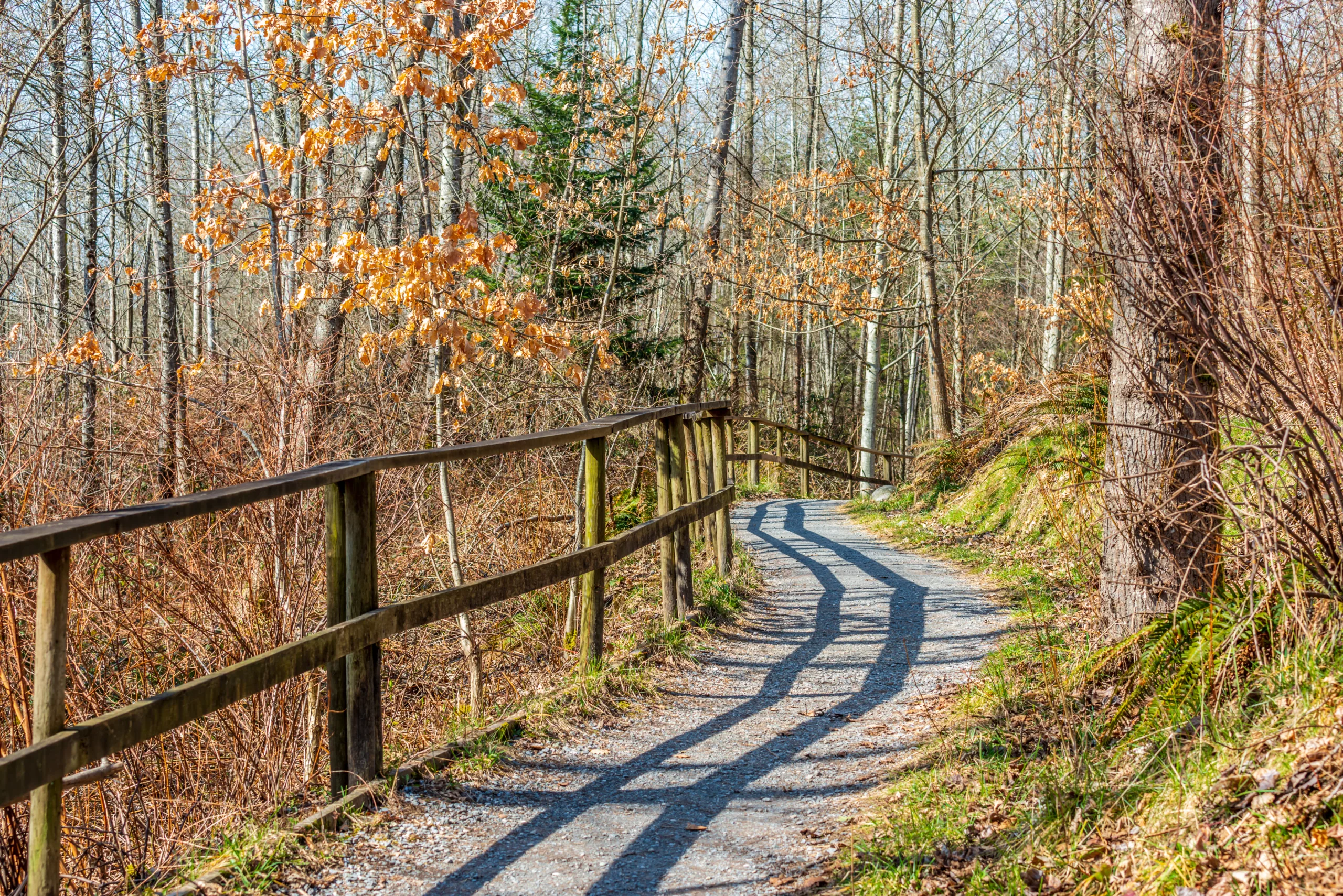
Phoenix, Arizona, is a premier destination for hiking enthusiasts, offering a diverse landscape of rugged desert peaks, sweeping city views, and serene Sonoran Desert scenery. From the iconic climbs of Camelback Mountain and Piestewa Peak to the more relaxed pathways of South Mountain Park and the McDowell Sonoran Preserve, the Valley of the Sun provides trails for every skill level. As you explore these top-rated routes, you will encounter towering saguaro cacti, colorful wildflowers, and dramatic rock formations that define the region’s unique beauty. Moreover, many of the best hiking trails in Phoenix AZ are easily accessible from downtown, making it simple to combine outdoor adventure with urban amenities. In the following sections, we will highlight key trail features, difficulty levels, and essential tips so you can plan a safe, enjoyable, and unforgettable desert hiking experience.
Introduction
Phoenix, Arizona is a premier destination for desert hiking, offering sun-drenched trails, dramatic rock formations, and sweeping city views. Whether you are a beginner or an experienced trekker, the Valley of the Sun features an impressive variety of hikes within minutes of downtown. This guide highlights the best hiking trails in Phoenix, AZ, showcasing difficulty levels, scenic highlights, and practical tips to help you plan your next outdoor adventure.
Camelback Mountain Echo Canyon Trail
The iconic Camelback Mountain Echo Canyon Trail is one of the most popular hikes in Phoenix. This steep, challenging trail is about 2.5 miles round trip but gains elevation quickly, rewarding hikers with panoramic views of the entire metropolitan area. Along the way, you will navigate rocky scrambles and handrail sections, so it is best suited for fit and experienced hikers. To make the most of your visit, arrive early to secure parking and avoid the midday heat.
Piestewa Peak Summit Trail
Formerly known as Squaw Peak, the Piestewa Peak Summit Trail is another classic Phoenix hike. At approximately 2.4 miles round trip, this trail climbs steadily via switchbacks and stone steps to one of the highest points in the Phoenix Mountains Preserve. From the summit, hikers enjoy 360-degree views of the city and surrounding desert ranges. Because of its central location and excellent workout, this trail is popular with locals and visitors alike, making it ideal for travelers seeking a quintessential Phoenix hiking experience.
South Mountain Park And Preserve
As one of the largest municipal parks in the United States, South Mountain Park and Preserve offers miles of interconnected trails for all skill levels. Popular routes include the Mormon Loop, National Trail, and Hidden Valley. These paths showcase rugged desert terrain, natural rock tunnels, and sweeping vistas of downtown Phoenix. With so many options, South Mountain is perfect for both short scenic walks and full-day adventures. Moreover, the paved road to Dobbins Lookout provides a high viewpoint for those who prefer a shorter hike with maximum reward.
McDowell Sonoran Preserve Trails
On the northeast side of the Valley, the McDowell Sonoran Preserve features well-maintained trails, clear signage, and stunning Sonoran Desert scenery. Hikes such as the Gateway Loop, Tom’s Thumb, and Lost Dog Wash highlight massive granite formations, saguaro forests, and abundant wildlife. These trails range from easy to strenuous, making the preserve an excellent choice for families, photographers, and serious hikers. Additionally, multiple trailheads with restrooms and parking enhance overall convenience and safety.
Comparison Of Top Phoenix Hiking Trails
To help you choose the best trail for your needs, the following table compares key details about several premier Phoenix hikes.
| Trail | Approx. Distance (Round Trip) | Difficulty | Key Highlights |
|---|---|---|---|
| Camelback Echo Canyon | 2.5 miles | Strenuous | Rock scrambles, city skyline views |
| Piestewa Peak Summit | 2.4 miles | Moderate to Difficult | Stone steps, 360-degree vistas |
| South Mountain (Mormon/National) | 3–8 miles | Easy to Difficult | Rock tunnels, expansive desert views |
| Gateway Loop (McDowell Sonoran) | 4.5 miles | Moderate | Saguaro forests, rolling desert hills |
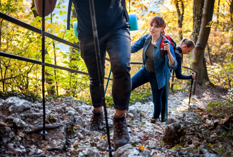
Essential Hiking Tips For Phoenix
Because desert conditions can be extreme, it is crucial to hike responsibly. Always carry plenty of water, wear sun protection, and start early, especially in summer. Stay on marked trails, watch for loose rocks, and inform someone of your plans. Furthermore, check local park websites for trail closures, parking updates, and seasonal advisories before you head out.
Conclusion
The best hiking trails in Phoenix, AZ combine challenging elevation gains, unforgettable views, and unique desert ecosystems. From the rugged ascents of Camelback Mountain and Piestewa Peak to the expansive networks at South Mountain and McDowell Sonoran Preserve, Phoenix offers memorable options for every type of hiker. By selecting the right trail for your skill level and preparing for desert conditions, you can safely enjoy some of the most spectacular urban hiking in the American Southwest.
Finding the Best Hiking Trails in Phoenix, AZ – FAQ
How can I find the best hiking trails in Phoenix for my skill level?
Start by using trusted resources such as AllTrails, Hiking Project, and the City of Phoenix Parks and Recreation website, which allow you to filter by difficulty (easy, moderate, hard), distance, and elevation gain. Review recent user comments and photos to assess current trail conditions and crowd levels. Match trail stats to your fitness level: beginners should focus on short trails under 3 miles with limited elevation gain, while experienced hikers can explore longer, steeper routes like Piestewa Peak or Camelback. When in doubt, start with easier urban preserve trails, such as those in North Mountain or South Mountain, and gradually progress to more challenging routes as your confidence and endurance improve.
What are some of the top hiking areas in and around Phoenix?
Phoenix offers several major hiking hubs that consistently rank among the best in the region. Camelback Mountain, with Echo Canyon and Cholla trails, is known for steep, strenuous climbs and city views. Piestewa Peak in the Phoenix Mountains Preserve offers a popular summit hike with well-maintained trails. South Mountain Park and Preserve, one of the largest municipal parks in the country, provides a wide range of options from easy desert walks to challenging ridgeline routes. For slightly less crowded experiences, look to the McDowell Sonoran Preserve in nearby Scottsdale or the White Tank Mountain Regional Park to the west. Each area features clearly marked trailheads, maps, and designated parking, making them reliable starting points for discovering additional routes.
When is the best time of day and year to hike in Phoenix?
The optimal time to hike in Phoenix is during the cooler months, typically late October through April, when daytime temperatures are more moderate. Within those months, early morning is generally best, as temperatures are lower, sunlight is softer, and trails are less crowded. In the hotter months, many local agencies recommend avoiding mid-day hikes altogether due to extreme heat risk; if you do hike, choose very early morning or just after sunrise, keep routes short, and stick to easier terrain. Always check the local forecast, heat advisories, and trail restrictions, as some Phoenix-area trails may close during periods of excessive heat or wildfire danger. Plan to be off exposed trails before temperatures peak and before sunset if you are unfamiliar with the route.
What safety precautions should I take when hiking Phoenix trails?
Hydration and heat awareness are critical when hiking in Phoenix’s desert environment. Carry more water than you think you need—at least one liter per hour for strenuous hikes in warm weather—and bring electrolyte supplements if you will be out for several hours. Wear sun protection, including a wide-brimmed hat, UV-protective clothing, sunglasses, and broad-spectrum sunscreen. Choose closed-toe hiking shoes with good traction to handle rocky, uneven terrain. Always let someone know your planned trail and expected return time, and avoid hiking alone on remote routes if you are inexperienced. Stay on marked trails to prevent getting lost and to protect fragile desert ecosystems. Watch for wildlife such as rattlesnakes and avoid placing hands and feet where you cannot see. If you begin to feel dizzy, nauseated, or unusually fatigued, turn back immediately and seek shade and hydration.
How can I evaluate trail conditions and crowds before choosing a hike?
Before heading out, review recent trail reports and user reviews on platforms like AllTrails, Google Maps, and local hiking forums to see comments on current conditions, such as loose rock, erosion, closures, or mud from recent rain. Check official sources, including the City of Phoenix and Maricopa County parks websites, for alerts about temporary closures, restricted access, or parking limitations. To gauge crowd levels, look at popular times charts on Google Maps for specific trailheads and consider hiking on weekdays or very early in the morning for a quieter experience. Trailhead parking lots are a good indicator: if they are consistently full during certain hours, expect busy trails. Choosing lesser-known routes within large preserves, and starting from secondary trailheads, can significantly reduce congestion while still offering excellent scenery and views.


latest video
news via inbox
Sign up to get local tips delivered to your inbox.


