Best Hiking Trails in Pasadena, CA
Best Hiking Trails In Pasadena CA
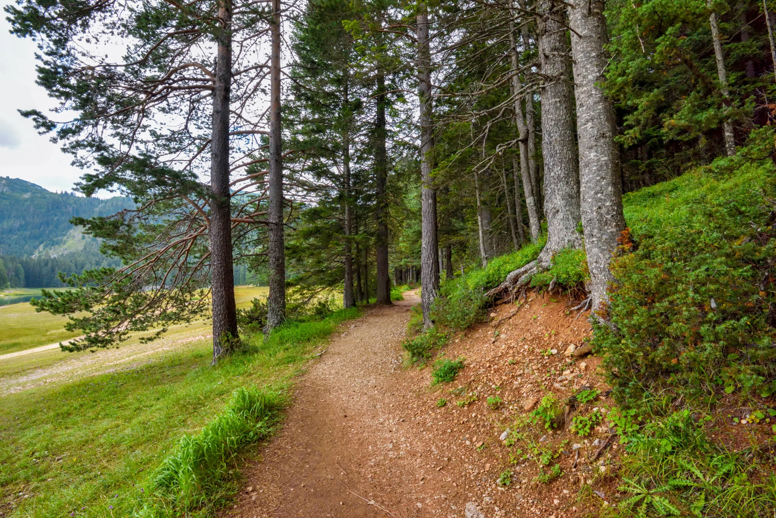
Nestled against the foothills of the San Gabriel Mountains, Pasadena, CA offers some of Southern California’s **best hiking trails** for outdoor enthusiasts of every skill level. From shaded canyon paths to scenic ridge-line routes with panoramic city views, this vibrant city combines natural beauty with convenient urban access. Whether you are planning a quick morning workout or a full-day adventure, Pasadena’s **top-rated hiking trails** provide diverse terrain, well-maintained paths, and easy access to trailheads. As you explore the region, you will discover trails that highlight the area’s unique geology, native plants, and abundant wildlife, creating an unforgettable hiking experience. In the sections that follow, we will guide you through the **best hikes in Pasadena**, helping you choose routes that match your fitness level, time frame, and interests, while also sharing tips to enhance your safety, comfort, and enjoyment on the trail.
Best Hiking Trails In Pasadena CA
Pasadena, California is a premier destination for outdoor enthusiasts seeking scenic and accessible hiking opportunities near Los Angeles. Nestled against the San Gabriel Mountains, Pasadena offers a diverse network of trails featuring panoramic vistas, shady canyons, waterfalls, and rich local history. For hikers planning their next adventure, exploring the best hiking trails in Pasadena, CA provides the perfect blend of natural beauty, fitness, and urban convenience.
Top Hiking Trails Overview
To help you compare the most popular options quickly, the table below highlights key details for some of the best Pasadena hiking trails, including distance, difficulty, and standout features.
| Trail Name | Distance (Round Trip) | Difficulty | Main Highlights |
|---|---|---|---|
| Eaton Canyon Trail | 3.5 miles | Easy to Moderate | Waterfall, stream crossings, family friendly |
| Echo Mountain Via Sam Merrill Trail | 5.0 miles | Moderate | City views, historic railway ruins, sunsets |
| Arroyo Seco Trail | Up to 7.0 miles | Easy | Rose Bowl views, river corridor, wildlife |
| Mount Lowe Railway Trails | Varies 3–8 miles | Moderate | Historic railway sites, mountain scenery |
| Gabrielino National Recreation Trail (Chantry To Pasadena Section) | Varies 4–9 miles | Moderate to Strenuous | Deep canyons, creekside walking, forested terrain |
Eaton Canyon Trail
Eaton Canyon is one of the most popular hiking trails in Pasadena, and for good reason. This relatively short hike leads through a picturesque canyon with seasonal wildflowers and frequent wildlife sightings. The well-marked path follows a stream to the base of Eaton Canyon Falls, offering a rewarding destination for beginners and families. Because this trail can be crowded on weekends, arriving early helps secure parking and a more peaceful experience.
Echo Mountain Via Sam Merrill Trail
For hikers seeking a moderate challenge with impressive city views, the Sam Merrill Trail to Echo Mountain is an excellent choice. Beginning at the Cobb Estate, this steady climb offers sweeping vistas of Pasadena and the greater Los Angeles basin. Along the way, visitors can explore remnants of the historic Echo Mountain Resort and the Mount Lowe Railway. This trail is particularly popular at sunrise and sunset, when lighting conditions make the views truly spectacular.
Arroyo Seco And Urban Nature Access
The Arroyo Seco Trail provides a unique blend of urban and natural scenery, making it ideal for walkers, runners, and casual hikers. Following the Arroyo Seco canyon beneath the iconic Colorado Street Bridge and around the Rose Bowl, this mostly flat route is accessible year-round. Because of its gentle grade and easy access points, it is perfect for those looking for a scenic stroll or low-impact workout close to Pasadena’s city center.
Historic Mount Lowe Railway Trails
History buffs will appreciate the network of trails surrounding the old Mount Lowe Railway. These routes allow hikers to explore ruins of former hotels, rail lines, and lookout points that once drew early 20th-century tourists to the San Gabriel Mountains. With multiple options for loop and out-and-back hikes, this area caters to moderate hikers interested in both mountain scenery and Pasadena’s transportation heritage.
Gabrielino Trail And Nearby Connections
The Gabrielino National Recreation Trail passes near Pasadena and links to several local trailheads, offering a more immersive mountain experience. This trail winds through shaded canyons, along creeks, and past historic cabins, making it ideal for hikers who want a longer, more remote-feeling outing. Sections near Pasadena connect with other popular routes, allowing experienced hikers to create custom loops and extended day hikes.
Essential Tips For Hiking In Pasadena
When exploring the best hiking trails in Pasadena, CA, preparation is crucial. Temperatures can rise quickly, especially in summer, so carrying sufficient water, sun protection, and sturdy footwear is essential. Additionally, always check trail conditions and local regulations, as some areas may be subject to seasonal closures or permit requirements. By planning ahead, you can maximize safety and enjoyment on every hike.
Conclusion
From waterfall walks in Eaton Canyon to historic climbs on the Sam Merrill and Mount Lowe trails, Pasadena offers a remarkably diverse hiking landscape. These top hiking trails in Pasadena showcase the region’s natural beauty while remaining convenient to the city’s cultural attractions and amenities. Whether you are a local resident or a visitor, incorporating these trails into your itinerary will provide memorable views, invigorating exercise, and a deeper appreciation of Southern California’s outdoor lifestyle.
Finding the Best Hiking Trails in Pasadena, CA
How can I find the best hiking trails in Pasadena, CA for my skill level?
What are some popular hiking areas in and around Pasadena, CA?
How do I check current trail conditions and closures before hiking in Pasadena?
What safety considerations should I keep in mind when choosing a Pasadena hiking trail?
Are there family-friendly or beginner-friendly hiking trails in Pasadena, CA?


news via inbox
Sign up to get local tips delivered to your inbox.


