Best Hiking Trails in Oakland, CA
Best Hiking Trails In Oakland CA
Oakland, California offers some of the most diverse and scenic hiking trails in the Bay Area, making it a prime destination for outdoor enthusiasts of all skill levels. From the lush redwood groves of Redwood Regional Park to the panoramic bay vistas at Joaquin Miller Park, the city’s extensive trail network showcases Oakland’s natural beauty and ecological richness. As you explore these top hiking trails in Oakland, you’ll encounter well-maintained paths, varied terrain, and abundant wildlife, all within a short drive of downtown. Moreover, many of these trails are easily accessible, family-friendly, and ideal for both quick outings and full-day adventures. In the following sections, we will highlight the best places to hike in Oakland, offering insights on trail difficulty, standout features, and nearby amenities to help you plan your next outdoor escape in this vibrant East Bay city.

Introduction
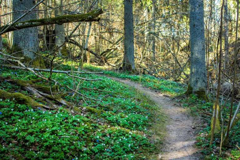
Oakland, California offers some of the best hiking trails in the Bay Area, combining sweeping skyline views, redwood forests, and serene bay vistas. Whether you are a local resident or a visitor planning outdoor activities, exploring Oakland hiking trails is an excellent way to experience Northern California’s natural beauty. From family-friendly paths to more challenging routes, Oakland’s trail network provides opportunities for hikers of all skill levels.
Best Hiking Trails In Oakland CA
To help you plan your next adventure, the following sections highlight the top hiking trails in Oakland, CA. These trails are known for their scenic landscapes, accessibility, and overall hiking experience. As you read through, you will discover which routes offer the best redwood scenery, panoramic viewpoints, and peaceful escapes from city life.
Below is an overview table of some of the best Oakland hiking trails, including distance, difficulty, and key highlights.
| Trail Name | Approx. Distance | Difficulty | Main Highlights |
|---|---|---|---|
| Sequoia Bayview Trail | 3–4 miles | Easy to Moderate | Bay views, shaded eucalyptus and pine forest |
| Redwood Regional Stream Trail | 4–6 miles | Easy | Tall redwoods, creekside walking, cool microclimate |
| West Ridge & East Ridge Loop | 7–8 miles | Moderate | Ridge views, mixed forest, rolling terrain |
| Leona Canyon Trail | 3 miles | Easy | Quiet canyon, seasonal creek, wildlife viewing |
| Joaquin Miller Park Loop | 4–5 miles | Moderate | Redwoods, waterfalls in season, city views |
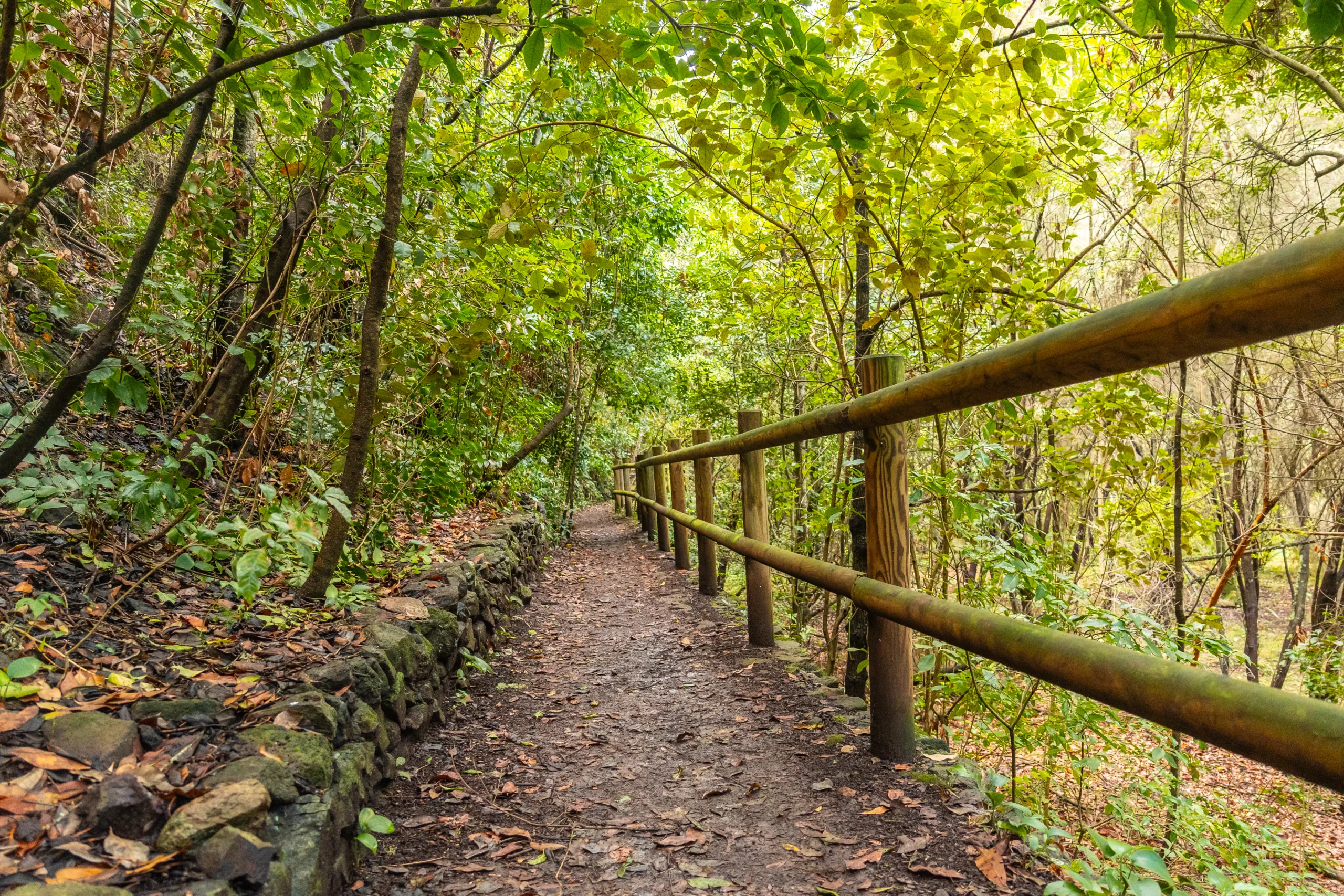
Redwood Regional Park Trails
Redwood Regional Park is one of the most popular hiking destinations in Oakland thanks to its impressive coastal redwood groves and cool, shaded canyons. The Stream Trail offers an easy, mostly flat route along Redwood Creek, making it ideal for families, beginners, and trail runners. For a longer and more varied hike, consider combining the West Ridge and East Ridge trails into a loop. This route provides rolling elevation, expansive ridge views, and access to side trails for added mileage.
Joaquin Miller Park And Sequoia Bayview Trail
Joaquin Miller Park features a network of interconnected trails, allowing hikers to customize loop distances. Highlights include the Sunset, Sinawik, and Palos Colorados trails, which wind through redwoods, oaks, and open viewpoints. Nearby, the Sequoia Bayview Trail is a local favorite for its relatively gentle terrain and stunning views of the San Francisco Bay. This trail is particularly popular for sunrise and sunset hikes, as well as for trail running and dog walking.
Leona Canyon Regional Open Space Preserve
For those seeking a quieter hiking experience, Leona Canyon Regional Open Space Preserve offers a peaceful retreat. The main Leona Canyon Trail follows a wooded canyon with a seasonal creek, providing a sense of seclusion despite its proximity to the city. The gentle grade and shaded environment make this an excellent option for casual hikers or anyone looking for a relaxed nature walk without significant elevation gain.
Tips For Hiking In Oakland CA
To fully enjoy the best hiking trails in Oakland, CA, it is important to plan ahead. Start early to secure parking and avoid midday heat, especially in summer. Carry sufficient water, wear layered clothing, and use sturdy footwear, as some sections can be rocky or muddy after rain. Additionally, always stay on marked trails, observe posted signs, and respect local wildlife and vegetation to help preserve these natural areas for future visitors.
Conclusion
From towering redwoods in Redwood Regional Park to sweeping bay vistas along the Sequoia Bayview Trail, Oakland offers an impressive variety of hiking experiences. By exploring these top Oakland hiking trails, you can enjoy fresh air, scenic views, and a deeper connection with the East Bay’s natural landscapes. Whether you are a beginner or an experienced hiker, Oakland’s trail system provides rewarding routes that keep outdoor enthusiasts returning season after season.
Finding the Best Hiking Trails in Oakland, CA
What are some of the best hiking areas near Oakland, CA for a variety of skill levels?
Redwood Regional Park, Joaquin Miller Park, and Sibley Volcanic Regional Preserve are three of the top hiking areas near Oakland that offer trails for different skill levels. Redwood Regional Park features shaded forested routes with gentle and moderate grades, making it ideal for beginners and families. Joaquin Miller Park offers steeper climbs, scenic overlooks, and well-maintained multi-use trails that appeal to intermediate hikers. Sibley Volcanic Regional Preserve provides unique geological features, loop trails, and some more rugged sections for those seeking a slightly more adventurous hike without leaving the East Bay hills.
How can I find current trail conditions and closures for Oakland hiking trails?
To check current trail conditions and closures, start with the East Bay Regional Park District website, which maintains updated information on Redwood, Joaquin Miller, Sibley, and other nearby parks. Many individual parks also post notices at trailheads about seasonal closures, storm damage, or fire-related restrictions. In addition, hiking and trail apps such as AllTrails and Gaia GPS often include recent user reports, photos, and comments about muddy sections, downed trees, or temporary route changes. Reviewing these sources before you go will help you choose a route that matches both your plans and current conditions.
What should I consider when choosing a hiking trail in Oakland based on difficulty?
When selecting a trail in Oakland by difficulty, look at total distance, elevation gain, and surface type. Shorter routes with under 300 feet of elevation gain and mostly wide, well-graded paths are best for beginners or casual outings, such as some loops in Redwood Regional Park. Intermediate hikers can seek routes with moderate climbs, narrow singletrack, and a mix of forest and open sections, like several trails in Joaquin Miller Park. More experienced hikers may prefer longer loops with sustained ascents, rocky or uneven tread, and exposed ridges, such as certain sections connecting Sibley and the Bay Area Ridge Trail. Always match the trail’s statistics to your fitness level, time available, and comfort with steeper grades.
Are there scenic hikes in Oakland that offer views of the Bay and skyline?
Several Oakland-area hikes provide excellent views of the San Francisco Bay and local skylines. In Joaquin Miller Park, trails near the park’s upper elevations and lookouts can offer sweeping views of Oakland, the Bay Bridge, and San Francisco on clear days. Connecting Joaquin Miller to the Bay Area Ridge Trail system can lead to longer routes with even broader panoramas. In Sibley Volcanic Regional Preserve and nearby East Bay hills, ridgeline segments also deliver expansive vistas, particularly at sunrise or late afternoon. Checking route descriptions and recent photos on reputable hiking platforms is an effective way to identify trails with the best viewpoints before you head out.
What safety and etiquette tips should I follow when hiking trails in Oakland?
When hiking in Oakland, carry enough water, wear appropriate footwear for dirt and potentially muddy trails, and tell someone your planned route and expected return time. Stay on marked paths to protect sensitive habitats and reduce erosion, and yield appropriately: typically, bikers yield to hikers, and everyone yields to equestrians when present. Keep dogs on leash where required and always pack out pet waste and trash. Check weather and fire danger levels, especially during late summer and fall, as some areas may have restrictions. Respect posted hours and closures, and use established parking areas and trailheads to minimize impacts on nearby neighborhoods.


latest video
news via inbox
Sign up to get local tips delivered to your inbox.


