Best Hiking Trails in Minneapolis, MN
Best Hiking Trails In Minneapolis MN
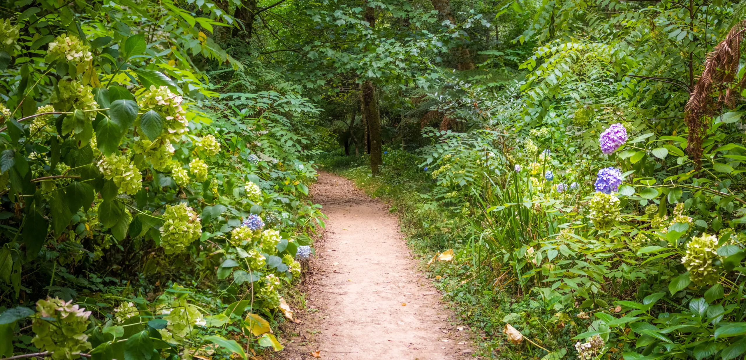
Discover the best hiking trails in Minneapolis, MN, where urban sophistication meets scenic natural beauty. Nestled along the Mississippi River and surrounded by lush parklands, Minneapolis offers a surprising variety of picturesque hiking routes perfect for outdoor enthusiasts of all levels. From tranquil lakeside paths to rugged river gorge trails, the city’s extensive trail network provides a refreshing escape just minutes from downtown. Moreover, well-maintained parks and clearly marked routes make it easy for visitors and locals alike to explore safely and confidently.
As you plan your next outdoor adventure, you’ll find that many of Minneapolis’s top hiking trails feature stunning water views, diverse wildlife, and year-round recreational opportunities. Whether you’re seeking a peaceful nature walk, a challenging workout, or a family-friendly outing, these trails deliver a rewarding experience. In the sections that follow, we will highlight specific routes, key amenities, and insider tips to help you make the most of your Minneapolis hiking journey.

Introduction
Minneapolis, MN, is renowned for its extensive urban green spaces and scenic waterways, making it a prime destination for outdoor enthusiasts. From riverfront paths to wooded ravines, the city offers an impressive network of hiking trails suitable for all skill levels. This guide highlights the best hiking trails in Minneapolis, helping you plan your next adventure while optimizing your time outdoors.
Top Hiking Trails In Minneapolis
Minneapolis seamlessly blends urban convenience with natural beauty. Whether you want a short, family-friendly walk or a longer, more challenging route, you will find a trail that fits your needs. Below is a helpful overview of some of the top hiking trails in Minneapolis.
| Trail | Location | Approx. Length | Key Features |
|---|---|---|---|
| Chain of Lakes Regional Trail | Southwest Minneapolis | 10+ miles (combined) | Lakeshore views, paved and dirt paths, skyline vistas |
| Minnehaha Falls and Creek Trail | Minnehaha Regional Park | 2–4 miles | Waterfall, limestone gorge, creekside paths |
| Theodore Wirth Regional Park Trails | West of Downtown | 5–12+ miles (network) | Wooded singletrack, rolling hills, lakes and bogs |
| Mississippi Gorge Regional Trail | Along Mississippi River | 3–7 miles | River bluffs, forested ravines, birdwatching |
| Winchell Trail | West Bank of Mississippi River | 2.5 miles | Rustic path, stone stairways, river overlooks |
Chain Of Lakes Regional Trail
The Chain of Lakes Regional Trail links popular lakes such as Bde Maka Ska, Lake Harriet, and Lake of the Isles. This interconnected system of paved and packed-dirt paths offers scenic routes along the shoreline, making it ideal for both casual walkers and more serious hikers. As you move from one lake to the next, you will enjoy continuous views of water, parks, and the Minneapolis skyline.
Minnehaha Falls And Creek Trail
One of the city’s most iconic destinations, Minnehaha Falls features a dramatic 53-foot waterfall surrounded by limestone cliffs and mature trees. From the falls, the Minnehaha Creek Trail meanders through a lush gorge toward the Mississippi River. Well-maintained paths and stone stairways provide a mix of easy walking and moderate elevation changes, making it a great choice for families and visitors seeking memorable photos.
Theodore Wirth Regional Park Trails
Theodore Wirth Regional Park offers some of the most extensive hiking opportunities within Minneapolis limits. Its network of singletrack and multi-use trails winds through dense woods, open meadows, and around quiet lakes such as Wirth Lake and Glenwood. Because of the park’s varied terrain, it is especially appealing to hikers who want a more immersive, nature-focused experience without leaving the city.
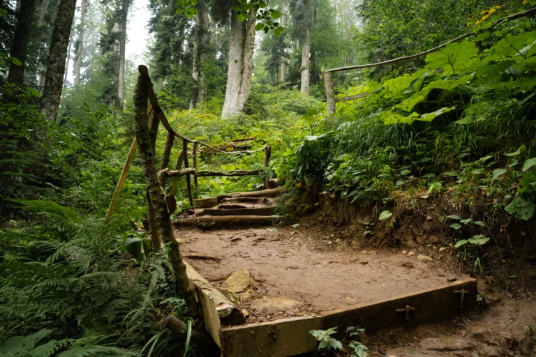
Mississippi Gorge And Winchell Trail
The Mississippi Gorge Regional Trail showcases dramatic bluffs, wooded ravines, and sweeping river views. Paved paths on both sides of the river are perfect for leisurely hikes, while spur trails lead down closer to the water. Nestled along the west bank, the more rustic Winchell Trail offers a quieter alternative, with narrow paths, stone staircases, and secluded overlooks that highlight the wild character of the river corridor.
Tips For Hiking In Minneapolis
To make the most of the best hiking trails in Minneapolis, plan ahead by checking seasonal conditions, especially in spring and winter. Wear sturdy footwear, bring water, and consider insect repellent during warmer months. Additionally, stay on marked trails to protect sensitive habitats and respect local regulations, including leash rules for dogs and park hours.
Conclusion
From lakeside loops to riverfront bluffs, Minneapolis offers an impressive variety of trails that highlight the city’s natural charm. By exploring destinations such as the Chain of Lakes, Minnehaha Falls, Theodore Wirth Park, and the Mississippi Gorge, hikers of all levels can enjoy rewarding, scenic routes just minutes from downtown. For anyone seeking accessible, high-quality urban hiking, Minneapolis stands out as a top Midwest destination.
Finding the Best Hiking Trails in Minneapolis, MN
How can I find the best scenic hiking trails within Minneapolis, MN city limits?
To find the most scenic trails within Minneapolis, start with established parks and regional trail systems. Popular options include Minnehaha Regional Park, where you can hike around Minnehaha Falls and along the Mississippi River Gorge, and Theodore Wirth Regional Park, which offers wooded trails, lakeside paths, and rolling terrain just minutes from downtown. Use the Minneapolis Park & Recreation Board website and map tools to filter by activity (hiking or walking) and difficulty. Supplement this with trail apps such as AllTrails or Gaia GPS, where you can sort by user ratings, distance, and elevation gain to identify the most scenic choices and read recent trail condition reports.
Where should I look for beginner-friendly hiking trails in Minneapolis?
For easy, beginner-friendly hikes, focus on trails around lakes and along the river, where elevation changes are minimal and surfaces are well maintained. Lake Harriet, Lake Nokomis, and Bde Maka Ska have paved and packed-gravel loops that work well for new hikers or families. Minnehaha Creek offers gentle paths with frequent access points, benches, and clear signage. Within Theodore Wirth Regional Park, stick to the shorter loop trails near the main chalet or Eloise Butler Wildflower Garden, which are well-marked and not technical. When reviewing trails on park maps or hiking apps, filter by “easy” difficulty and aim for routes between 1–3 miles to stay within a comfortable range for beginners.
How do I find less crowded or more secluded hiking trails near Minneapolis?
To avoid crowds, look slightly beyond the most famous city parks and visit early in the morning or on weekdays. Within Minneapolis, explore the lesser-used sections of the Mississippi Gorge Regional Park, especially the unpaved river-bottom paths accessed from neighborhood trailheads rather than the main parking lots. Nearby, consider Elm Creek Park Reserve, Baker Park Reserve, and Carver Park Reserve, which are within a reasonable drive and offer extensive multi-use trail systems with quieter segments away from main beach and picnic areas. On trail apps, filter for moderate or longer-distance routes and scan recent reviews that mention “quiet,” “secluded,” or “light traffic.” Choosing shoulder seasons (spring and late fall) and avoiding peak midday hours further increases your chances of a more solitary hike.
What is the best way to evaluate trail difficulty and conditions before hiking around Minneapolis?
To accurately judge trail difficulty, review distance, elevation gain, surface type, and recent condition reports. On park websites and printed maps at trailheads, note whether trails are paved, crushed gravel, or natural surface and whether they include steep river bluffs or stairs, which are common along the Mississippi Gorge. Complement this with user-generated platforms such as AllTrails or Hiking Project, where you can see elevation profiles, photos, and up-to-date comments on mud, ice, flooding, or construction. In Minneapolis, seasonal factors matter: in spring, check for muddy closures to prevent trail damage; in winter, confirm whether routes are reserved for cross-country skiing or fat biking, which can restrict hiking. If you are unsure, call the relevant park or visitor center to verify current conditions and permitted uses before you go.
Are there resources specifically for planning family-friendly or dog-friendly hikes in Minneapolis?
For family-friendly hikes, consult the Minneapolis Park & Recreation Board site for park profiles that highlight amenities like playgrounds, restrooms, and picnic areas near trails, which can be important with children. Short loops at Lake Harriet, Minnehaha Regional Park, and Theodore Wirth Regional Park are commonly recommended because they have clear signage, varied scenery, and easy access to facilities. For dog-friendly options, review individual park rules and use filters for “dog friendly” on trail platforms such as AllTrails. Many Minneapolis trails allow leashed dogs, but some nature sanctuaries, including Eloise Butler Wildflower Garden, prohibit them to protect sensitive habitats. Confirm leash requirements, waste disposal rules, and seasonal restrictions, and always bring water for both you and your dog, as not all trailheads have drinking fountains or dog-specific water stations.


latest video

news via inbox
Sign up to get local tips delivered to your inbox.

