Best Hiking Trails in Mesa, AZ
Best Hiking Trails In Mesa AZ
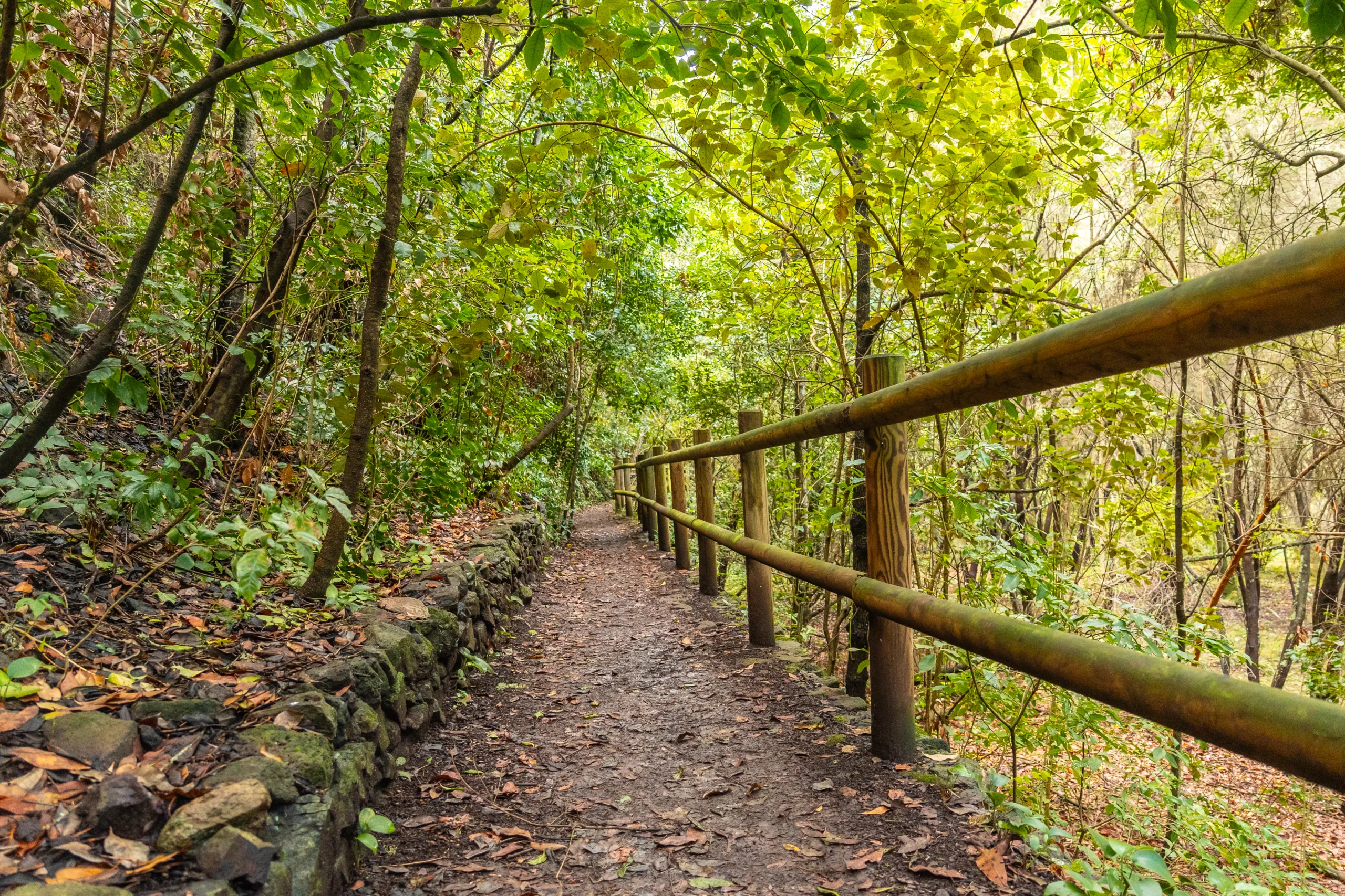
Mesa, Arizona offers some of the most scenic and accessible hiking trails in the Sonoran Desert, making it a premier destination for outdoor enthusiasts of all skill levels. From the rugged beauty of Usery Mountain Regional Park to the panoramic vistas at Lost Dutchman State Park, Mesa’s trails showcase dramatic desert landscapes, towering saguaro cacti, and stunning mountain backdrops. Moreover, hikers can enjoy well-marked paths, convenient trailheads, and a variety of distances and difficulty levels, ensuring that both beginners and seasoned trekkers find routes that match their abilities. In addition, many trails provide excellent opportunities for wildlife viewing, photography, and sunrise or sunset hikes, further enhancing the overall experience. Whether you are planning a quick day hike or a more challenging adventure, exploring the best hiking trails in Mesa, AZ is an ideal way to connect with nature and discover the region’s unique desert charm.
Introduction
Mesa, Arizona, is a premier destination for desert hiking, offering stunning Sonoran Desert scenery, rugged mountain vistas, and family-friendly paths. For outdoor enthusiasts searching for the best hiking trails in Mesa AZ, this guide highlights top routes that combine accessibility, natural beauty, and year-round adventure. From easy walks along desert washes to challenging climbs with panoramic views, Mesa’s trail system provides something for every skill level.
User-Friendly Overview Of Top Trails
To help you quickly compare options, the following table summarizes some of the top hiking trails in Mesa by difficulty, distance, and key features.
| Trail | Location | Difficulty | Distance (Round Trip) | Highlights |
|---|---|---|---|---|
| Wind Cave Trail | Usery Mountain Regional Park | Moderate | 3.2 miles | Scenic cave, valley views |
| Pass Mountain Trail | Usery Mountain Regional Park | Moderate–Strenuous | 7.3 miles | 360° vistas, loop route |
| Hawes Trail System | Northeast Mesa | Easy–Moderate | Varies | Great for hikers & bikers |
| Meridian Trailhead Routes | Tonto National Forest Edge | Easy–Moderate | 2–6 miles | Superstition views, wildflowers |
Wind Cave Trail At Usery Mountain Regional Park
The Wind Cave Trail is one of Mesa’s most popular hikes, thanks to its rewarding destination and manageable distance. Beginning at the base of Pass Mountain, this well-maintained path gradually climbs to a shallow cave eroded into the cliff face. Along the way, hikers enjoy classic Sonoran Desert scenery, including saguaro, cholla, and expansive views of the Valley of the Sun. Because this trail is moderately steep near the top, it is best for reasonably fit beginners and intermediate hikers.
Pass Mountain Trail Scenic Loop
For those seeking a longer challenge, the Pass Mountain Trail loops around the entire mountain, delivering wide-open views of Mesa and the surrounding desert. The route offers rolling elevation changes, rocky sections, and quieter stretches away from crowds. This trail is ideal for experienced hikers who want a half-day adventure with plenty of photo opportunities, especially at sunrise or sunset when the desert glows with rich color.
Hawes Trail System For Versatile Hiking
The Hawes Trail System in northeast Mesa is a versatile network of singletrack used by both hikers and mountain bikers. With multiple intersecting routes, visitors can customize distance and difficulty to match their fitness level. Gentle grades and open sightlines make it beginner-friendly, while more advanced users can link trails for a longer workout. Scenic highlights include distant views of Red Mountain and the Salt River corridor, creating an engaging backdrop for every outing.
Meridian Trailhead And Superstition Views
On the eastern edge of Mesa, the Meridian Trailhead provides access to several easy-to-moderate desert paths that border Tonto National Forest. These trails are excellent for families, casual hikers, and winter visitors who want classic views of the Superstition Mountains without committing to strenuous climbs. In spring, hikers are often rewarded with seasonal wildflowers, while cooler months offer ideal conditions for leisurely exploration.
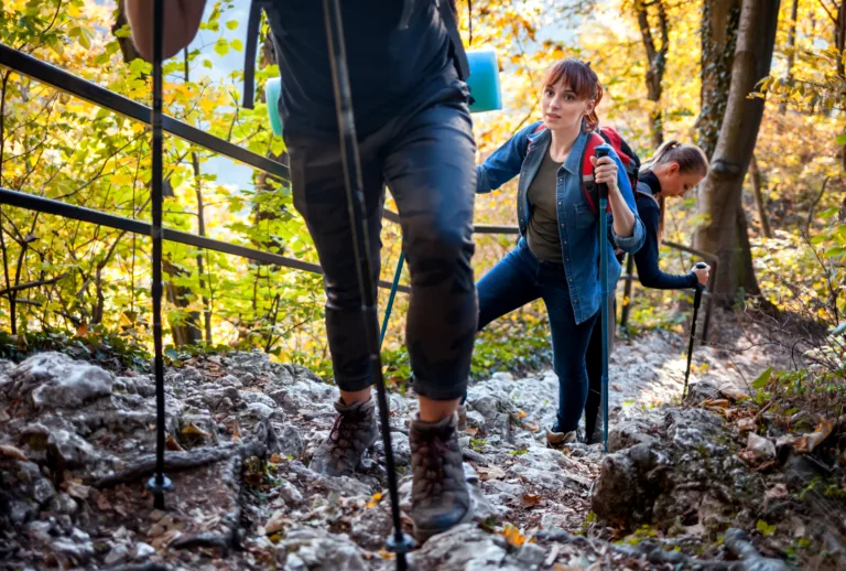
Tips For Hiking Safely In Mesa
Because Mesa’s desert environment can be harsh, it is vital to plan ahead. Always carry plenty of water, wear sun protection, and start early during warmer months. Additionally, let someone know your route and estimated return time. By taking these simple precautions, you can fully enjoy the best hiking trails in Mesa AZ in comfort and safety.
Conclusion
From the iconic Wind Cave to the expansive Pass Mountain loop and the flexible Hawes and Meridian trail systems, Mesa offers a diverse lineup of hiking experiences for all levels. By choosing trails that match your abilities and preparing for desert conditions, you can discover why Mesa is a standout destination for outdoor recreation. Whether you are a local resident or a visiting traveler, exploring these top hiking trails in Mesa is an unforgettable way to connect with Arizona’s remarkable desert landscape.
Finding the Best Hiking Trails in Mesa, AZ
How can I find the best hiking trails for my skill level in Mesa, AZ?
What are some popular beginner-friendly hiking areas in and around Mesa?
When is the best time of year and day to hike near Mesa, AZ?
How do I evaluate trail safety and conditions before hiking in Mesa’s desert environment?
What should I bring and consider when planning a hike around Mesa, AZ?


news via inbox
Sign up to get local tips delivered to your inbox.


