Best Hiking Trails in Mayflower Village, CA
Best Hiking Trails In Mayflower Village CA
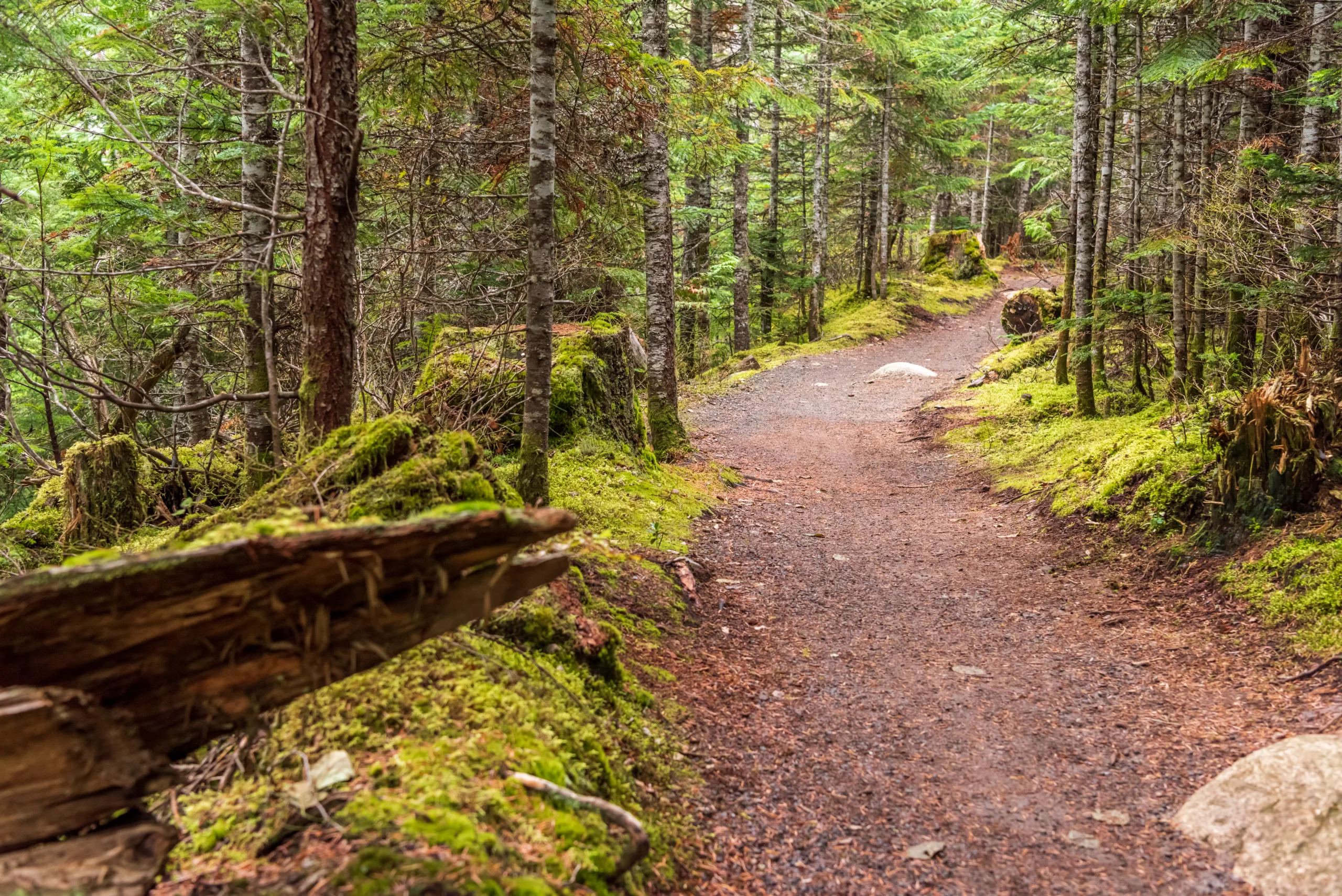
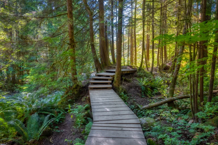
Nestled in the heart of the San Gabriel Valley, Mayflower Village, CA offers convenient access to some of the best hiking trails in Southern California. This vibrant community sits near the foothills, making it an ideal starting point for outdoor enthusiasts seeking scenic routes, peaceful nature walks, and rewarding viewpoints. From gentle riverside paths to more challenging canyon climbs, hiking near Mayflower Village combines natural beauty with year-round accessibility. Moreover, its central location allows both locals and visitors to quickly reach popular trailheads, minimizing drive times and maximizing time on the trail. As you explore this guide to the top hiking trails near Mayflower Village, CA, you’ll discover family-friendly options, dog-friendly routes, and hidden gems that showcase the region’s diverse landscapes. In the following sections, we will highlight key trails, essential tips, and what to expect on each outdoor adventure.
Introduction
Mayflower Village, CA, is a charming community in the San Gabriel Valley that serves as a convenient gateway to some of Southern California’s **best hiking trails**. While the village itself is largely residential, it is ideally located near the **San Gabriel Mountains**, the Angeles National Forest, and several regional parks. For hikers searching online for the **best hikes near Mayflower Village**, this guide highlights top-rated nearby trails, their features, and tips to help you plan a safe and enjoyable outdoor adventure.
Top Hiking Areas Near Mayflower Village
Within a short drive of Mayflower Village, outdoor enthusiasts can access a variety of trail systems that range from easy, family-friendly walks to more demanding mountain hikes with impressive elevation gains. Below is an overview of some of the **most popular hiking destinations near Mayflower Village**.
| Hiking Area | Approximate Distance From Mayflower Village | Difficulty Range | Key Features |
|---|---|---|---|
| Monrovia Canyon Park | 5–10 minutes | Easy to Moderate | Waterfall, shaded canyon, stream crossings |
| Chantry Flat (Santa Anita Canyon) | 15–20 minutes | Moderate to Strenuous | Historic cabins, streams, waterfalls, loop options |
| Eaton Canyon Natural Area | 20–25 minutes | Easy to Moderate | Visitor center, geology, seasonal waterfall |
| Bailey Canyon Park | 20–25 minutes | Moderate | Canyon views, wildflowers in season, quieter trails |
| Mt. Wilson Area Trails | 30–40 minutes | Strenuous | High-elevation views, observatory, long-distance hikes |
Featured Hiking Trails Near Mayflower Village
To help you select the **best hiking trails near Mayflower Village**, the following routes offer a balance of scenic value, accessibility, and popularity. Distances and times are approximate and can vary based on conditions and pace.
| Trail Name | Distance (Round Trip) | Elevation Gain | Difficulty | Highlights |
|---|---|---|---|---|
| Monrovia Canyon Falls Trail | ~3 miles | ~700 ft | Easy–Moderate | Shaded canyon, year-round creek, 30-foot waterfall |
| Sturtevant Falls via Chantry Flat | ~3.5 miles | ~700 ft | Moderate | Picturesque waterfall, historic cabins, forested canyon |
| Eaton Canyon Falls Trail | ~3.5 miles | ~450 ft | Easy–Moderate | Interpretive center, stream crossings, seasonal falls |
| Bailey Canyon To Jones Peak | ~6.5 miles | ~2,400 ft | Strenuous | Expansive valley views, challenging climb, fewer crowds |
| Mt. Wilson Via Chantry Flat | ~14 miles | ~4,200 ft | Strenuous | All-day hike, observatory access, panoramic vistas |
Practical Hiking Tips And Safety
Because the **best hiking trails around Mayflower Village** are in canyon and mountain environments, proper preparation is essential. Always check weather and trail conditions before heading out, especially during fire season or after heavy rain. Carry plenty of water, wear supportive footwear, and pack sun protection such as hats and sunscreen. In addition, it is wise to let someone know your route and expected return time, particularly for longer mountain hikes.
Many trailheads, especially in the Angeles National Forest, require a parking pass such as the **Adventure Pass** or **America the Beautiful** pass. Trailhead signage or official websites provide current information about fees and regulations. Moreover, practice **Leave No Trace** principles by packing out all trash, staying on designated paths, and respecting wildlife and other hikers.
Conclusion
From shaded creek walks to challenging summit climbs, the region surrounding Mayflower Village offers an impressive variety of hiking opportunities for all skill levels. By exploring nearby destinations such as Monrovia Canyon Park, Chantry Flat, Eaton Canyon, and the Mt. Wilson area, hikers can enjoy **scenic, convenient, and rewarding trails** just a short drive from home. With thoughtful planning and safe outdoor practices, the best hiking trails near Mayflower Village, CA, can become a regular part of your healthy, active lifestyle and a reliable resource for memorable weekend adventures.
Finding the Best Hiking Trails in Mayflower Village, CA
What are some of the best nearby hiking areas for people staying in Mayflower Village, CA?
While Mayflower Village itself is a small residential community, it is close to several excellent hiking areas. Popular nearby options include the trails in the San Gabriel Mountains, such as those accessible from Chantry Flat near Arcadia, and Eaton Canyon Natural Area in Pasadena. Santa Fe Dam Recreation Area in Irwindale also offers easier walking and biking paths with mountain views, and the Angeles National Forest to the north provides a wide range of trails for different skill levels all within a reasonable driving distance from Mayflower Village.
How can I find trails that match my fitness and experience level near Mayflower Village?
To match trails to your fitness and experience level, start by using reputable hiking apps and websites that let you filter by distance, elevation gain, difficulty, and user ratings for areas like the San Gabriel Mountains and Eaton Canyon. Review recent trail reports to understand current conditions, such as heat, overgrowth, or water crossings. When in doubt, choose shorter, well-traveled trails at Santa Fe Dam Recreation Area or lower-elevation foothill trails and gradually increase difficulty as you become more comfortable. Local outdoor retailers in the San Gabriel Valley can also provide recommendations tailored to your abilities and goals.
When is the best time of day and season to hike near Mayflower Village?
The best time of day to hike near Mayflower Village is usually early morning, especially from late spring through early fall, to avoid high midday temperatures and stronger sun exposure. During summer, starting around sunrise is ideal for most foothill and canyon trails. In terms of season, late fall through early spring often offers cooler, clearer conditions and, after winter rains, greener landscapes and flowing streams in places like Eaton Canyon and Chantry Flat. Always check weather forecasts and any heat or fire advisories for the San Gabriel Valley and Angeles National Forest before heading out.
What safety tips should I follow when hiking near Mayflower Village and the San Gabriel Mountains?
Plan ahead by choosing a trail suited to your abilities and informing someone of your route and expected return time. Carry more water than you think you will need, especially in hotter months, and bring sun protection, basic first aid supplies, and a fully charged phone. Stay on marked trails, observe posted signs, and be aware of wildlife such as snakes, particularly on rocky and brushy sections. Check for trail closures, fire restrictions, and parking or permit requirements for areas in the Angeles National Forest. If conditions feel unsafe due to heat, poor air quality, or approaching darkness, turn back early rather than pushing on.
Where can I park and what permits or passes might I need for hiking near Mayflower Village?
Parking for many popular trailheads near Mayflower Village, such as those in the Angeles National Forest, often requires an Adventure Pass or an America the Beautiful federal lands pass, which can typically be purchased online or at local outdoor retailers. Urban-access points like Eaton Canyon and Santa Fe Dam Recreation Area may charge day-use or parking fees managed by local agencies. Always verify parking rules, time limits, and any permit requirements on official county, city, or forest service websites before you go. Arrive early on weekends and holidays, as parking lots at popular trailheads can fill quickly, leading to long walks or the need to select an alternate trail.


news via inbox
Sign up to get local tips delivered to your inbox.


