Best Hiking Trails in Los Nietos, CA
Best Hiking Trails In Los Nietos CA
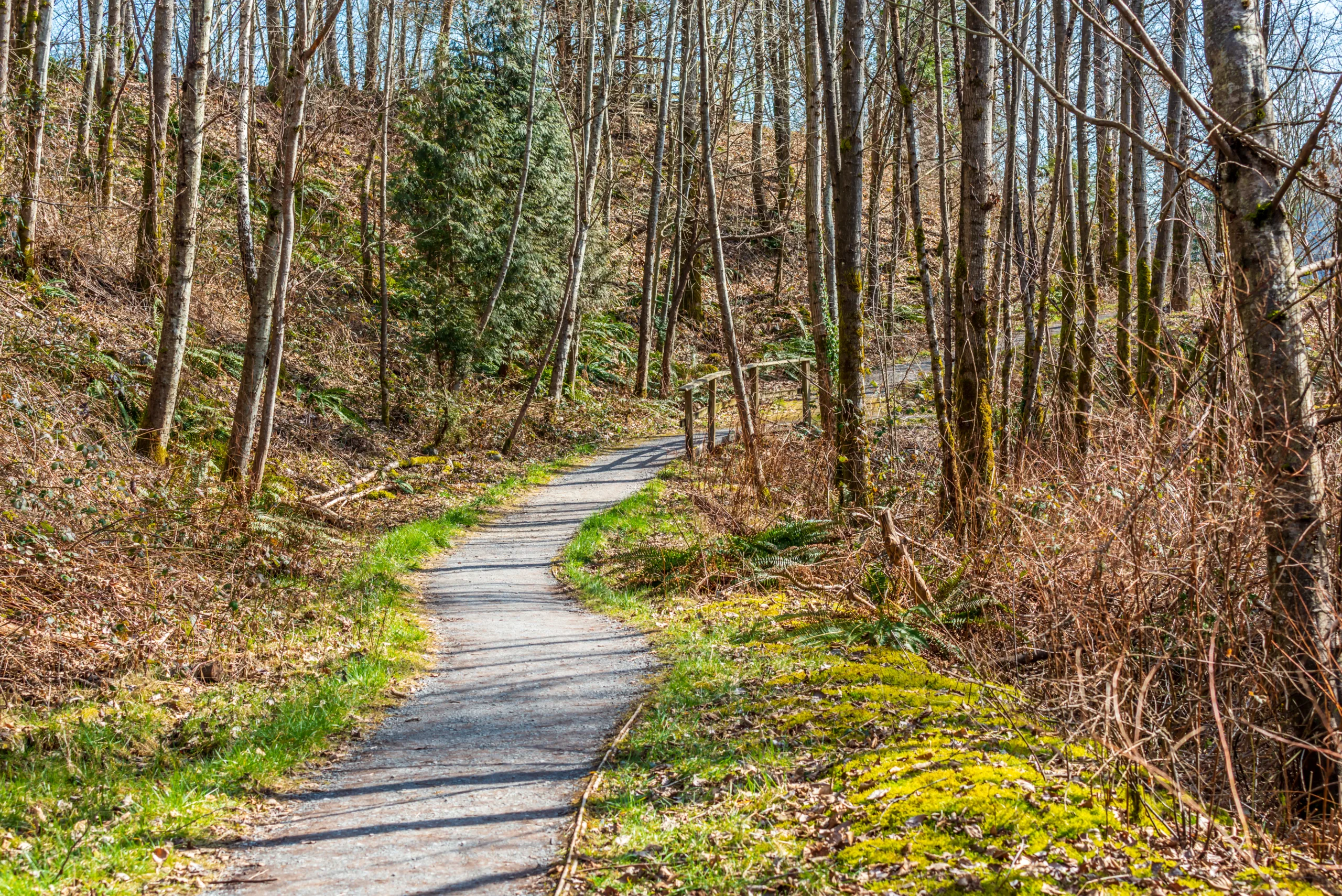
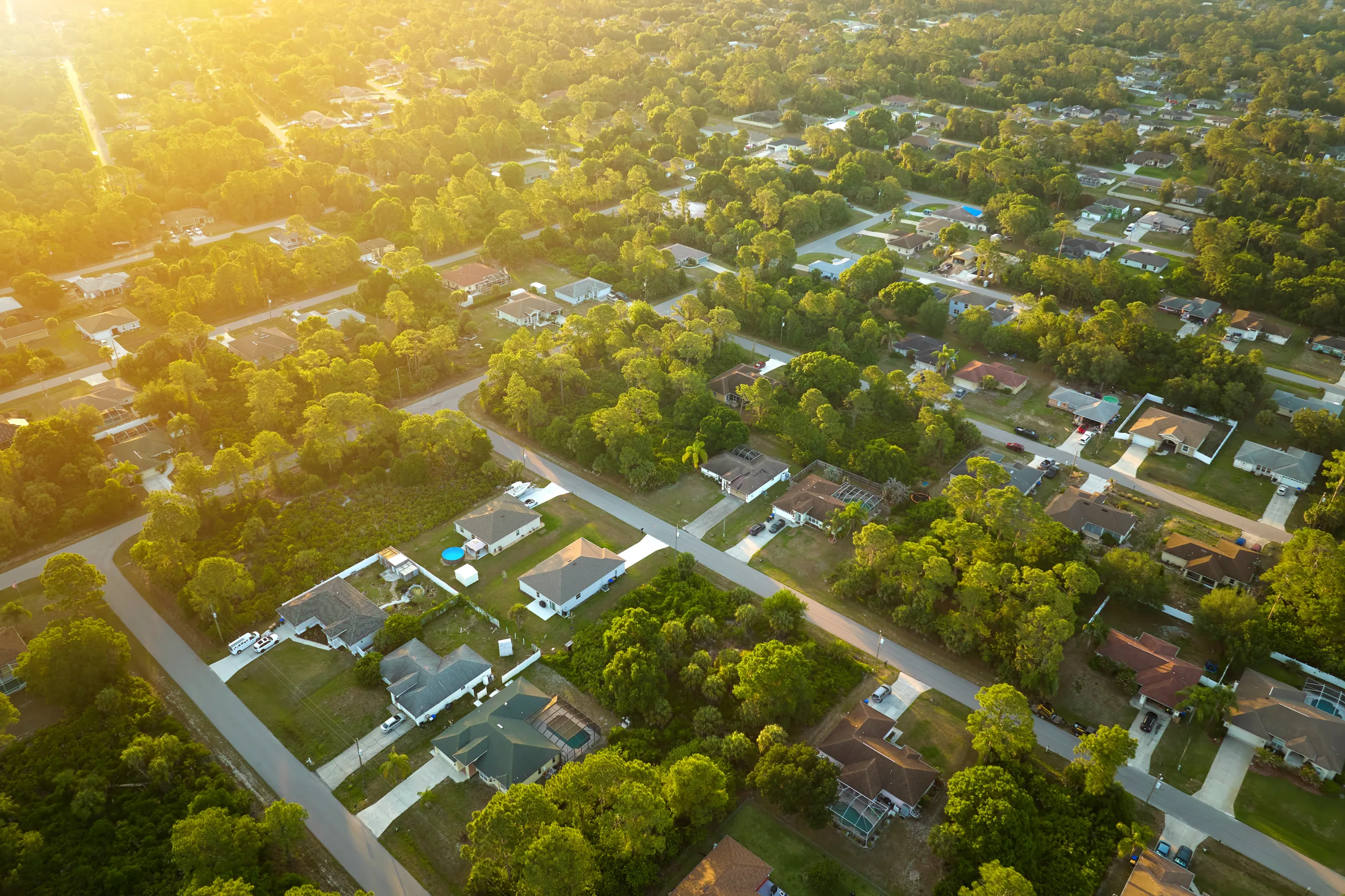
Los Nietos, CA offers access to some of the most scenic hiking trails in Southeast Los Angeles County, making it an appealing destination for outdoor enthusiasts seeking convenient nature escapes. Nestled near the San Gabriel River and regional open spaces, this community provides a gateway to family-friendly walking paths, riverside routes, and moderate hikes that are perfect for weekend adventures or after-work outings. From peaceful greenbelts and bike paths to nearby foothill trailheads, hikers of all skill levels can find routes that match their pace and preferences. Moreover, the area’s network of connected trails allows visitors to enjoy birdwatching, jogging, cycling, and dog walking in a safe and accessible environment. As you explore the best hiking trails in and around Los Nietos, you’ll discover how this underrated pocket of Los Angeles County combines urban convenience with natural beauty, offering a refreshing respite from city life.


Introduction
Located near the heart of Los Angeles County, Los Nietos, CA offers convenient access to a variety of scenic hiking trails that appeal to beginners and seasoned hikers alike. While Los Nietos itself is a primarily residential community, it is surrounded by parks, river trails, and foothill paths that provide refreshing escapes from city life. This guide highlights the best hiking trails near Los Nietos, focusing on accessibility, difficulty levels, and standout features to help you plan your next outdoor adventure.
Top Hiking Areas Near Los Nietos
Because Los Nietos is centrally located, hikers can quickly reach several popular trail networks in the surrounding cities of Whittier, Pico Rivera, and the Puente Hills area. From shaded river walks to panoramic ridge routes, these nearby options offer a diverse range of terrain and scenery. To make your decision easier, the following table summarizes some of the best hiking options within a short drive.
| Trail | Approx. Distance From Los Nietos | Difficulty | Main Features |
|---|---|---|---|
| Whittier Greenway Trail | 5–10 minutes | Easy | Paved path, urban views, family friendly |
| San Gabriel River Trail (Pico Rivera) | 5–10 minutes | Easy to Moderate | River corridor, biking and walking, birdwatching |
| Hellman Park Trail | 15–20 minutes | Moderate | Hill climbs, city and canyon views |
| Turnbull Canyon Trail | 15–20 minutes | Moderate to Challenging | Loop options, ridgeline vistas, historic canyon |
| Sycamore Canyon Trail (Puente Hills) | 20–25 minutes | Moderate | Wildlife viewing, seasonal wildflowers |
Featured Trails Near Los Nietos
The Whittier Greenway Trail is an excellent starting point for those new to hiking. This converted rail corridor is mostly flat and paved, making it ideal for walking, jogging, and family outings. Along the way, you will find interpretive signs, landscaping, and convenient access points from nearby neighborhoods, which together create a safe and accessible environment.
For hikers seeking a slightly more natural setting, the San Gabriel River Trail near Pico Rivera offers a long, multi-use path along the river channel. Although parts of the route follow a concrete flood control system, the corridor still attracts a variety of birds and provides open views. This trail is particularly popular among cyclists, but walkers can enjoy quieter stretches in the early morning or late afternoon.
When you are ready for elevation gain and sweeping vistas, the Hellman Park Trail in Whittier is a rewarding choice. The initial climb is steep, but the panoramic views of the Los Angeles Basin and Puente Hills quickly make the effort worthwhile. Continuing along the ridges connects you with additional routes within the larger Puente Hills trail system.
Another local favorite is the Turnbull Canyon Trail, which features a mix of fire roads and single-track paths. With its rolling terrain and multiple loop options, this area is perfect for hikers who want to customize distance and difficulty. On clear days, you can enjoy expansive views that stretch from the mountains to the coast.
Planning Your Hike From Los Nietos
Before setting out from Los Nietos, it is important to consider a few practical tips. Always check weather conditions, especially during hot summer months, and carry adequate water and sun protection. Many of the nearby trails are exposed, so planning early morning or late afternoon hikes can make your experience more comfortable. In addition, parking regulations and park hours can vary, so verify current information on official city or regional park websites.
To help with planning, the simple comparison table below highlights which trails may be best suited to your goals, whether you prioritize distance, scenery, or family accessibility.
| Goal | Recommended Trail | Why It Stands Out |
|---|---|---|
| Family-Friendly Walk | Whittier Greenway Trail | Flat, paved, frequent access points and amenities |
| Scenic Workout | Hellman Park or Turnbull Canyon | Challenging climbs with rewarding hilltop views |
| Cycling And Long-Distance | San Gabriel River Trail | Extended multi-use path suitable for bikes and runners |
Conclusion
While Los Nietos, CA may not have its own extensive trail network, it is strategically situated near an impressive collection of hiking opportunities. From the family-friendly Whittier Greenway to the more demanding climbs of Hellman Park and Turnbull Canyon, outdoor enthusiasts can find a route that matches their fitness level and interests. By planning ahead, respecting trail etiquette, and staying aware of local conditions, you can fully enjoy the best hiking trails near Los Nietos and make every outing a safe, memorable experience.
Finding the Best Hiking Trails in Los Nietos, CA
How can I find the best hiking trails near Los Nietos, CA for different skill levels?
Start by using reputable trail-finding platforms such as AllTrails, Hiking Project, or local county parks websites, and filter by distance, elevation gain, and difficulty. For beginners, look for “easy” routes with minimal elevation change in nearby areas like Whittier Narrows, the San Gabriel River trail corridors, or regional parks within a 15–30 minute drive. Intermediate and advanced hikers can expand their search to the Puente Hills, Whittier Hills, and nearby Angeles National Forest by focusing on trails labeled “moderate” or “hard.” Reading recent reviews and viewing user-uploaded photos will help you assess actual trail conditions, crowd levels, and suitability for your fitness level before you go.
What factors should I consider when choosing a hiking trail around Los Nietos, CA?
Consider distance, elevation gain, trail surface, shade, and seasonal heat when choosing a trail near Los Nietos. Shorter routes with gentle grades and stable, well-marked paths are best if you are new to hiking or going with children. Check whether the trail offers shade, especially in summer, since the Los Nietos area and surrounding hills can get very hot and exposed. Confirm access details such as parking availability, restroom facilities, park hours, and any required passes or fees, particularly if you are heading toward nearby state or national forest lands. Finally, review safety information, including wildlife advisories, posted closure notices, and any reports of erosion or overgrowth that might affect your experience.
Where can I find reliable maps and route information for trails close to Los Nietos, CA?
Reliable maps and route details are available from several sources. Online platforms like AllTrails and Gaia GPS provide downloadable maps, GPX tracks, and turn‑by‑turn route descriptions for hikes in nearby hills and open spaces. The Los Angeles County Department of Parks and Recreation website often lists official regional park trails with basic maps and regulations. For more detailed topographic information, you can use USGS topo maps or digital mapping apps that work offline once the map is downloaded. Before heading out, compare the app’s route with any official park or trailhead kiosks to confirm the current route, as closures and reroutes can occur after storms or maintenance work.
How do I stay safe while hiking in and around Los Nietos, CA?
Plan around the weather and start early during hotter months to avoid mid‑day heat on exposed trails. Carry sufficient water, typically at least one liter per hour of planned hiking in warm conditions, along with sun protection such as a hat, sunscreen, and sunglasses. Wear supportive footwear with good tread since some nearby foothill trails can be dusty and slippery. Let someone know your route and expected return time, and keep a fully charged phone with offline maps if possible. Stay on marked paths, watch for mountain bikers or equestrians where multiuse trails are common, and be aware of local wildlife, including snakes. Obey posted signs, closure notices, and fire regulations to reduce risk for yourself and the surrounding communities.
Are there family-friendly or beginner hiking options near Los Nietos, CA?
Yes, there are several family-friendly and beginner‑oriented hiking options within a short drive of Los Nietos. Look for flat or gently rolling trails in regional parks, river greenways, and nature centers that offer loop routes of one to three miles. These areas often have amenities such as restrooms, picnic tables, and designated parking, making them suitable for children and new hikers. Use the “easy” filter on trail apps and read recent reviews that mention strollers, young children, or seniors to gauge accessibility. Choosing shorter routes with clear signage, shade, and nearby facilities will help ensure a comfortable first experience for families and those just getting started with hiking.


latest video
news via inbox
Sign up to get local tips delivered to your inbox.


