Best Hiking Trails in Las Vegas, NV
Best Hiking Trails In Las Vegas NV
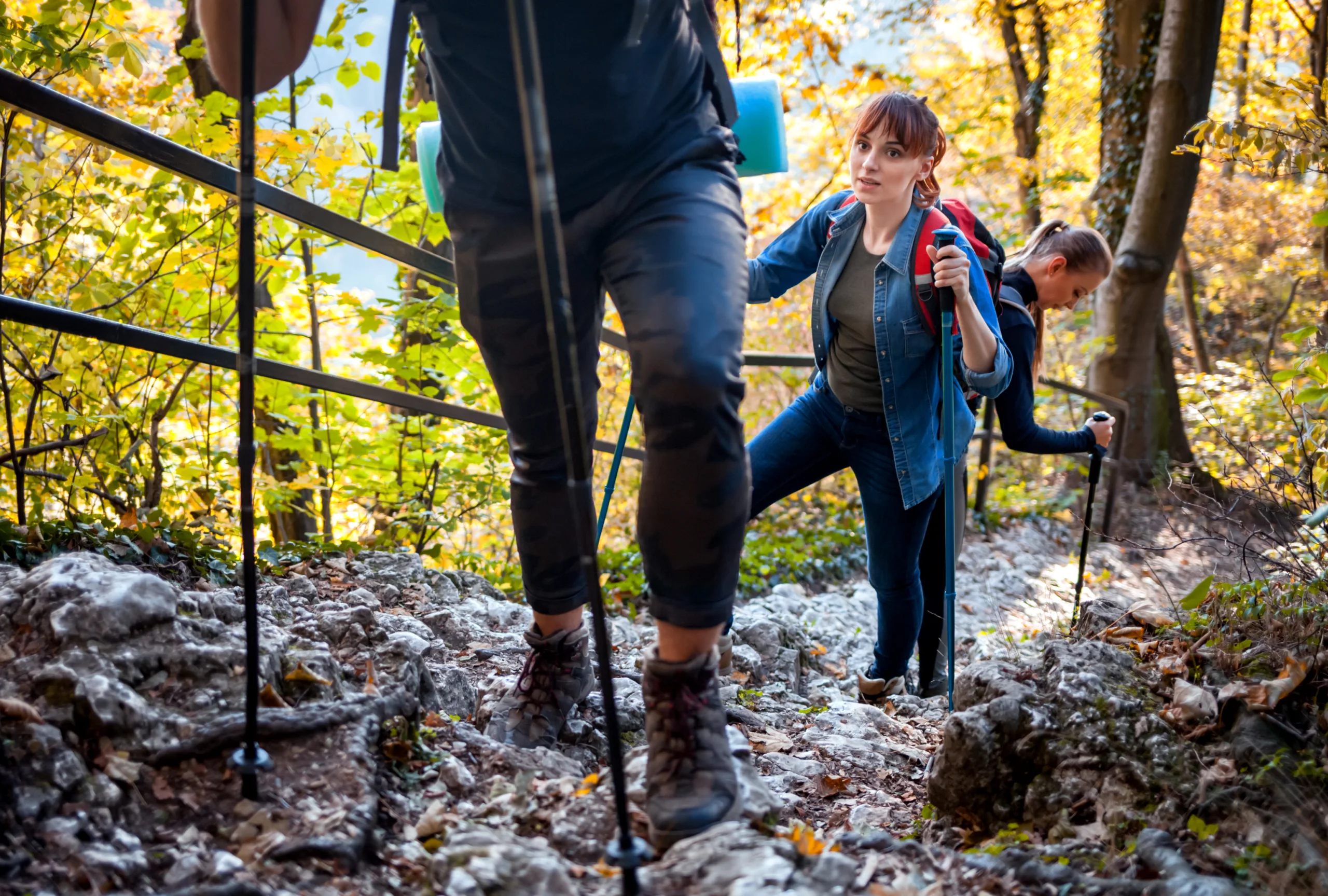
Discovering the best hiking trails in Las Vegas, NV reveals a side of the city that goes far beyond the bright lights of the Strip. Nestled among dramatic desert landscapes, Las Vegas offers a diverse network of scenic trails perfect for outdoor enthusiasts of all skill levels. From the iconic red sandstone formations of Red Rock Canyon to the cooler alpine paths of Mount Charleston, each route provides unique opportunities for breathtaking views, wildlife sightings, and unforgettable photo moments. Moreover, many of these trails are conveniently located within a short drive of major hotels and attractions, making it easy to plan a balanced itinerary that combines nature and nightlife. As you explore these remarkable paths, you will gain a deeper appreciation for the Mojave Desert’s rugged beauty and rich ecology, setting the stage for an inspiring hiking adventure in and around Las Vegas.
Introduction
Las Vegas, Nevada, is known for its dazzling Strip, but outdoor enthusiasts know the city is also a gateway to some of the best hiking trails in the Southwest. Just minutes from the casinos, you will find red rock canyons, desert oases, and mountain peaks offering cooler temperatures and breathtaking views. Whether you are a beginner or an experienced hiker, the Las Vegas area provides a variety of scenic routes that showcase the unique beauty of the Mojave Desert.
Red Rock Canyon National Conservation Area
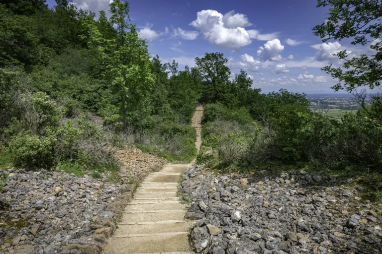
Located just 20 minutes west of the Strip, Red Rock Canyon is the premier destination for hiking near Las Vegas. Its towering sandstone cliffs, vibrant red rock formations, and extensive trail network make it ideal for all skill levels. Popular trails such as Calico Tanks and Ice Box Canyon offer moderate climbs, panoramic viewpoints, and opportunities to see seasonal waterfalls and desert wildlife. Because of its popularity, it is best to arrive early in the day, especially on weekends and during cooler months.
Below is a helpful overview of some of the top Red Rock Canyon hiking trails:
| Trail Name | Distance (Round Trip) | Difficulty | Main Highlights |
|---|---|---|---|
| Calico Tanks | 2.2 miles | Moderate | Rock scrambling, city overlook, seasonal pool |
| Ice Box Canyon | 2.6 miles | Moderate | Shaded canyon, seasonal waterfall, rugged terrain |
| Keystone Thrust | 2.2 miles | Easy to Moderate | Geologic fault line, wide desert views |
Valley Of Fire State Park
For those willing to drive about an hour northeast of Las Vegas, Valley of Fire State Park rewards hikers with fiery red sandstone, dramatic slot canyons, and ancient petroglyphs. Trails like Fire Wave and White Domes are relatively short, yet they deliver stunning photography opportunities and an otherworldly landscape. Because temperatures can soar, particularly in summer, visitors should hike early and carry plenty of water.
| Trail Name | Distance (Round Trip) | Difficulty | Main Highlights |
|---|---|---|---|
| Fire Wave | 1.5 miles | Easy | Wave-like striped rock, wide-open vistas |
| White Domes Loop | 1.1 miles | Easy to Moderate | Slot canyon, film sites, sandstone formations |
| Mouse’s Tank | 0.7 miles | Easy | Petroglyphs, short shaded canyon |
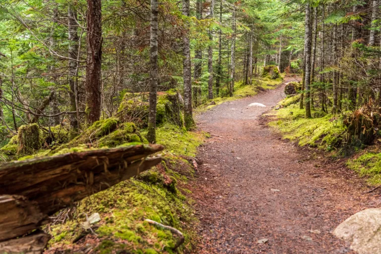
Mount Charleston And The Spring Mountains
When Las Vegas heats up, hikers head to Mount Charleston in the Spring Mountains, about 45 minutes northwest of the city. With elevations exceeding 11,000 feet, this region offers cooler temperatures, fragrant pine forests, and high-alpine views. Favorite hikes include the Mary Jane Falls trail, which leads to a seasonal waterfall, and the more strenuous Cathedral Rock trail, providing panoramic vistas of Kyle Canyon. These trails are perfect for visitors looking to escape the desert heat without traveling far from Las Vegas.
Practical Hiking Tips For Las Vegas Trails
To make the most of the best hiking trails in Las Vegas, proper preparation is essential. Always check the weather forecast, start early in the morning, and carry more water than you think you will need. Additionally, sturdy hiking shoes, sun protection, and a trail map or GPS are highly recommended. Many popular areas, including Red Rock Canyon and Valley of Fire, require entry fees or timed reservations, so it is wise to review current conditions and regulations before your trip.
Conclusion
From the colorful cliffs of Red Rock Canyon to the cool forests of Mount Charleston, the Las Vegas area offers remarkably diverse hiking experiences within a short drive of the Strip. These trails provide not only scenic beauty but also an opportunity to reconnect with nature after the excitement of the city. By choosing the right routes for your skill level and preparing adequately for desert conditions, you can enjoy safe, memorable adventures on some of the best hiking trails in Las Vegas, Nevada.
Finding the Best Hiking Trails in Las Vegas, NV
What are some of the best hiking areas near Las Vegas for scenic desert views?
Some of the best areas near Las Vegas for scenic desert hikes include Red Rock Canyon National Conservation Area, Valley of Fire State Park, and Sloan Canyon National Conservation Area. Red Rock Canyon offers popular trails such as Calico Tanks and Ice Box Canyon, known for sandstone formations and panoramic city views. Valley of Fire features vibrant red rock landscapes and petroglyphs, while Sloan Canyon is appreciated for its quieter atmosphere and extensive rock art sites. These areas provide a range of trail difficulties and iconic Mojave Desert scenery within a short drive of the city.
How can I find hiking trails in Las Vegas that match my skill level?
To find trails that match your skill level, use reputable hiking apps and websites that allow you to filter by distance, elevation gain, and difficulty rating. Search specifically for “Las Vegas” or nearby destinations such as Red Rock Canyon or Lake Mead National Recreation Area. Review recent trail reports for current conditions, and read multiple user reviews to understand whether a trail feels more like an easy walk or a strenuous climb. The Bureau of Land Management and National Park Service websites also provide descriptions and difficulty guidelines. When in doubt, start with shorter, well-marked trails and gradually progress to longer or steeper routes as you gain experience.
What is the best time of year to hike in and around Las Vegas?
The best time to hike in the Las Vegas area is generally from late fall through early spring, roughly October through April, when daytime temperatures are cooler and more comfortable. Winter and early spring are ideal for lower-elevation desert trails around Red Rock Canyon and Valley of Fire, while late spring and early fall can be suitable for higher-elevation areas such as Mount Charleston. Summer temperatures in the Las Vegas Valley can become dangerously hot, making early morning or higher-altitude hikes the safest options. Always check the forecast and avoid hiking during extreme heat or severe weather.
Are there beginner-friendly hiking trails close to the Las Vegas Strip?
Yes, several beginner-friendly trails are located within a short drive of the Las Vegas Strip. In Red Rock Canyon, the Lost Creek Children’s Discovery Trail and the Moenkopi Loop are relatively short, well-marked, and suitable for most beginners. The Wetlands Park Nature Preserve on the east side of the valley offers flat, interpretive paths ideal for new hikers or families. Even within the city, certain urban trail systems and paved paths around public parks provide accessible options for people who want to gain confidence before exploring longer desert routes. Always bring water and sun protection, even on easy trails, due to the dry climate and intense sun.
What safety tips should I follow when hiking in the Las Vegas desert?
When hiking in the Las Vegas desert, carry more water than you think you will need, typically at least one liter per hour of moderate activity, and avoid hiking in extreme heat. Wear sun-protective clothing, a hat, and sunscreen, and choose sturdy footwear suitable for rocky terrain. Stay on established trails, and let someone know your route and expected return time. Check official sites for trail closures, weather alerts, and any permit requirements, especially for areas like Red Rock Canyon. Be aware of wildlife such as rattlesnakes, give them space, and never attempt to handle or approach them. Finally, bring basic navigation tools, a fully charged phone, and a small first-aid kit to handle minor issues that may arise on the trail.


news via inbox
Sign up to get local tips delivered to your inbox.


