Best Hiking Trails in Lancaster, CA
Best Hiking Trails In Lancaster CA
Nestled in the heart of the Antelope Valley, Lancaster, California offers a surprising variety of scenic hiking opportunities for outdoor enthusiasts of all levels. From sweeping desert vistas to seasonal wildflower displays, the region’s trails provide a perfect escape from city life while remaining easily accessible. As you explore the best hiking trails in Lancaster CA, you’ll discover routes that highlight the area’s unique high-desert landscape, abundant sunshine, and striking rock formations.
Moreover, Lancaster’s trail network caters to both casual walkers and experienced hikers, making it an ideal destination for families, photographers, and fitness seekers alike. With well-marked paths, nearby amenities, and breathtaking sunset views, these top Lancaster hiking spots are designed to enhance your appreciation of Southern California’s desert beauty. As you continue reading, you’ll be guided through the most popular trails, insider tips, and practical advice to help you plan your next adventure.

Introduction
Lancaster, CA, nestled in the Antelope Valley of the Mojave Desert, offers a surprising variety of scenic hiking opportunities. From wildflower-covered hillsides to panoramic desert vistas, the best hiking trails in Lancaster, CA appeal to both casual walkers and seasoned outdoor enthusiasts. This guide highlights top local trails, provides essential details, and helps you choose the perfect route for your next adventure.
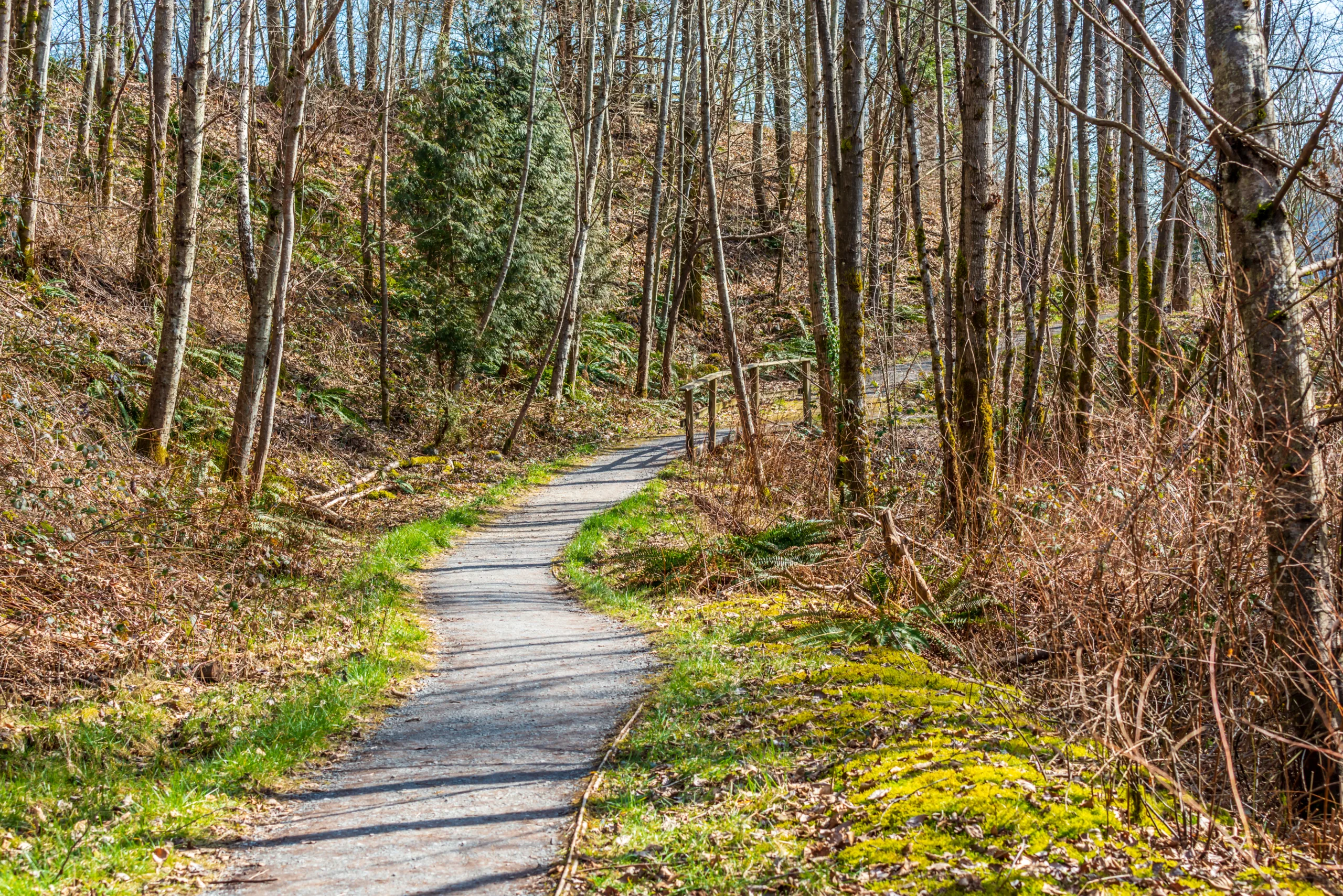
Prime Desert Woodland Preserve
The Prime Desert Woodland Preserve is one of the most accessible and family-friendly hiking areas in Lancaster. Featuring well-maintained loop trails, this preserve showcases native Joshua trees, desert shrubs, and interpretive signs that educate visitors about the local ecosystem. Trails are mostly flat and ideal for beginners, birdwatchers, and photographers seeking easy access to nature.
Because of its central location and gentle terrain, the Prime Desert Woodland Preserve is an excellent choice for visitors who want to experience the desert landscape without tackling steep climbs. Additionally, the clearly marked paths and nearby parking make it convenient for short morning or evening hikes.
| Trail Feature | Details |
|---|---|
| Difficulty | Easy |
| Average Distance | 1–3 miles of interconnected loops |
| Best For | Families, beginners, educational walks |
| Terrain | Flat, compact dirt paths |
Antelope Valley California Poppy Reserve Trails
Just a short drive west of Lancaster, the Antelope Valley California Poppy Reserve offers some of the most iconic hiking trails in the region. In spring, vibrant orange poppies blanket the rolling hills, creating a stunning backdrop for hikers. Well-marked trails like the North Loop and South Loop provide moderate elevation gains and sweeping views of the Antelope Valley.
These trails are best enjoyed from late winter through early spring, when wildflowers are in bloom and temperatures are still mild. However, even outside of wildflower season, the Poppy Reserve delivers picturesque desert scenery and expansive vistas, making it a top choice for photography and nature appreciation.
| Trail Name | Distance | Difficulty |
|---|---|---|
| North Loop | Approx. 2.5 miles | Moderate |
| South Loop | Approx. 2 miles | Easy to Moderate |
| Combined Loops | Up to 5 miles | Moderate |
Apollo Community Regional Park Trails
For those who prefer a blend of lakeside scenery and easy walking paths, Apollo Community Regional Park is an excellent option. While not a rugged backcountry experience, the paved and dirt trails circling the lakes offer peaceful views, mature trees, and abundant birdlife. This location is particularly suitable for casual strolls, family outings, and warm-up walks before more challenging desert hikes.
In addition, the park’s amenities, such as picnic areas and restrooms, make it a comfortable base for spending an entire day outdoors. The relatively flat paths also accommodate a mix of walkers, runners, and cyclists, providing a versatile recreation area within the Lancaster city limits.
Tips For Hiking In Lancaster CA
When exploring the best hiking trails in Lancaster, CA, preparation is essential. Temperatures can fluctuate dramatically, especially in the desert environment. Therefore, always carry plenty of water, wear sun protection, and choose early morning or late afternoon for longer hikes during warmer months. Staying on marked trails helps protect fragile desert plants and wildlife while keeping you safe from unexpected terrain.
Although many Lancaster trails are suitable for beginners, it is wise to check current conditions before heading out. Wind, heat, and seasonal closures—particularly at the Poppy Reserve—can affect access. By planning ahead and packing appropriately, you can fully enjoy the diverse hiking experiences Lancaster has to offer.
Conclusion
From the educational paths of the Prime Desert Woodland Preserve to the flower-filled slopes of the Antelope Valley California Poppy Reserve, Lancaster boasts a variety of memorable hiking destinations. Apollo Community Regional Park further enhances the area’s appeal with its relaxed lakeside routes. By selecting trails that match your fitness level and interests, you can discover why hiking in Lancaster, CA is an increasingly popular way to experience the beauty of the high desert.
Finding the Best Hiking Trails in Lancaster, CA
What are some of the best hiking areas near Lancaster, CA for scenic desert views?
Some of the best nearby options include the Prime Desert Woodland Preserve within Lancaster city limits, Saddleback Butte State Park to the east, and the Antelope Valley Poppy Reserve to the west when flowers are in season. Prime Desert Woodland Preserve offers short, well-maintained desert trails with interpretive signs and easy access. Saddleback Butte State Park provides longer, more challenging hikes with panoramic views of the Antelope Valley, especially from the summit. The Poppy Reserve has easy-to-moderate trails that showcase California’s state flower, along with sweeping desert vistas, particularly in early spring. These areas combine accessibility with classic Mojave Desert scenery, making them strong starting points for hikers of various skill levels.
How can I choose a Lancaster-area hiking trail that matches my fitness and experience level?
Begin by checking trail distance, total elevation gain, and surface conditions. For beginners or families, focus on trails under 3 miles with limited elevation gain, such as the loop paths at Prime Desert Woodland Preserve or short out-and-back segments at the Antelope Valley Poppy Reserve. Intermediate hikers can look for routes in the 3–7 mile range with moderate climbs, like some of the longer routes around Saddleback Butte State Park. More advanced hikers may seek steeper trails, longer distances, and less shade, but should factor in Lancaster’s high-desert climate. Always review recent trail reports, estimated completion times, and maps from reliable sources, and be realistic about your pace, heat tolerance, and navigation skills before heading out.
When is the best time of year and day to hike around Lancaster, CA?
The most comfortable hiking seasons in the Lancaster area are typically late fall through spring, when daytime temperatures are cooler and more stable. March and April are especially popular near the Antelope Valley Poppy Reserve, as wildflowers are often at their peak. During the hot summer months, midday hikes can be dangerous due to extreme heat and minimal shade, so it is safer to hike very early in the morning or close to sunset. Regardless of season, plan to be off exposed trails before dark unless you are fully prepared for night conditions. Always check the local weather forecast, wind speeds, and any heat or fire advisories before choosing your hiking time.
What resources can I use to research and compare hiking trails near Lancaster, CA?
A combination of digital and local resources works best. Online hiking platforms and map apps can help you filter Lancaster-area trails by distance, difficulty, elevation, and user ratings, and often include recent photos and trail condition reports. Official park and agency websites, such as those for Saddleback Butte State Park or the California State Parks system, provide authoritative maps, regulations, and closure notices. Local visitor centers, outdoor retailers, and hiking clubs in the Antelope Valley area can offer first-hand insights and recommendations tailored to current conditions. Reviewing multiple sources before your trip will give you a more accurate picture of what to expect on each route.
What safety and preparation tips should I follow for hiking in the Lancaster desert environment?
Plan conservatively and prepare for heat, sun, and dry conditions. Carry more water than you think you will need, as reliable water sources are rare on Lancaster-area trails. Wear sun protection, including a wide-brimmed hat, sunglasses, and sunscreen, and choose lightweight, breathable clothing that covers your skin. Sturdy footwear helps with rocky and sandy terrain. Always let someone know your route and expected return time, and bring a fully charged phone plus a physical map or downloaded offline map in case of poor reception. Watch for signs of heat exhaustion such as dizziness, nausea, and excessive fatigue, and turn back early if conditions worsen. Staying on marked trails and respecting park rules also helps protect both your safety and the fragile desert ecosystem.


latest video
news via inbox
Sign up to get local tips delivered to your inbox.


