Best Hiking Trails in Lake Los Angeles, CA
Best Hiking Trails In Lake Los Angeles CA
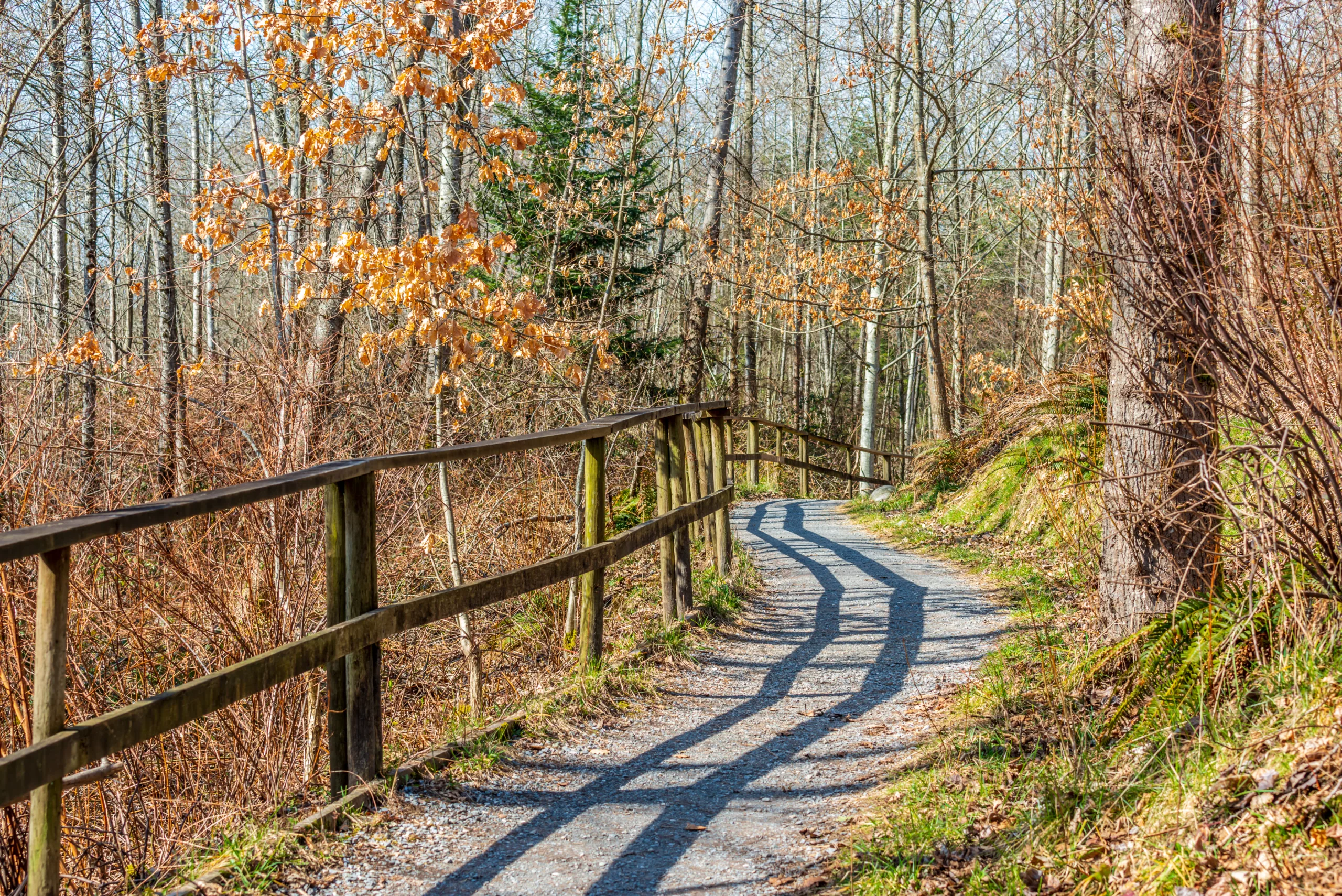
Discovering the best hiking trails in Lake Los Angeles, CA is an ideal way to experience the high desert’s natural beauty, panoramic views, and peaceful open spaces. Nestled in the Antelope Valley, this quiet community offers hikers a blend of sandy paths, rocky ridges, and scenic overlooks that are perfect for both beginners and seasoned outdoor enthusiasts. With its clear skies and wide horizons, Lake Los Angeles provides a unique backdrop for sunrise walks, family-friendly outings, and more challenging adventures.
As you explore the area’s most popular routes, you will find well-loved local trails, hidden desert paths, and easy-access loop hikes that highlight the region’s distinctive flora and fauna. From trailheads just minutes from residential neighborhoods to more secluded desert tracks, the Lake Los Angeles area delivers a variety of options that cater to different fitness levels and interests, setting the stage for an unforgettable hiking experience.
Introduction
Located on the western edge of the Mojave Desert, Lake Los Angeles, CA offers an appealing mix of desert vistas, mountain backdrops, and wide-open skies. While lesser known than nearby mountain destinations, this high-desert community provides access to several rewarding hikes that are perfect for outdoor enthusiasts seeking quiet trails and panoramic views. In this guide, you will discover the best hiking trails in and around Lake Los Angeles, along with practical tips to help you plan a safe and enjoyable adventure.
Prime Hiking Areas Near Lake Los Angeles
Although Lake Los Angeles itself is primarily a residential and desert landscape, it serves as a convenient base for exploring nearby trail networks. Within a short drive, you can access scenic routes in the Angeles National Forest, the rocky hills around Llano, and the desert washes that define the Antelope Valley. These areas provide a blend of easy desert walks and more challenging climbs, allowing hikers of every level to find a suitable path.
Top Hiking Trails Near Lake Los Angeles
The following table highlights some of the best hiking options within roughly a 30–45 minute drive of Lake Los Angeles. These trails are popular for their vistas, accessibility, and relative solitude during off-peak hours.
| Trail Name | Approx Distance From Lake Los Angeles | Difficulty | Highlights |
|---|---|---|---|
| Devil’s Punchbowl Loop (Punchbowl Trail) | ≈ 25 miles east | Moderate | Dramatic sandstone formations, desert canyon views, geology |
| South Fork Trail To Islip Saddle | ≈ 35 miles south | Moderate–Strenuous | Pine forest, higher elevation, cooler temperatures, mountain views |
| Angeles Crest Scenic Pullout Walks | ≈ 30 miles south | Easy | Short viewpoints, photo opportunities, family-friendly |
| Alpine Butte Area Desert Paths | ≈ 15 miles west | Easy | Desert flora, sunrise and sunset views, wildlife spotting |
What To Expect On Local Trails
When hiking near Lake Los Angeles, you can expect a mix of high-desert terrain, sandy paths, and rocky outcrops. Many routes offer little natural shade, so planning for the sun is essential. In spring, wildflowers and blooming Joshua trees create striking scenery, while fall and winter often bring cooler, clearer hiking conditions. Because the region sits at a higher elevation than coastal Southern California, temperatures can fluctuate quickly, especially in the nearby mountains.
Essential Hiking Tips For Lake Los Angeles
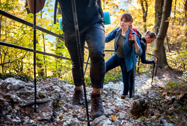
To make the most of these trails, it is important to prepare thoroughly. Always bring plenty of water, especially during warmer months, and wear sun protection such as a hat, sunscreen, and sunglasses. In addition, sturdy footwear will help you navigate loose sand and rocky sections safely. Cell service can be limited in certain areas, so downloading offline maps and telling someone your plans before you head out is strongly recommended. Finally, remember to follow Leave No Trace principles by packing out all trash and staying on designated paths.
Best Seasons And Times To Hike
While hiking is possible year-round, the best seasons for hiking near Lake Los Angeles are typically late fall through spring. During these months, temperatures are more comfortable, visibility is often excellent, and crowds are lighter. If you plan to hike in summer, aim for early morning or late afternoon to avoid the most intense heat. Checking the weather forecast and any relevant Angeles National Forest alerts before you go will help you avoid unexpected closures or hazardous conditions.
Conclusion
From desert washes and Joshua tree groves to forested mountain slopes, the hiking trails near Lake Los Angeles, CA, provide a surprisingly diverse outdoor experience. By exploring routes like Devil’s Punchbowl and the South Fork area, you can enjoy scenic overlooks, unique geology, and peaceful surroundings within a short drive of town. With thoughtful preparation and respect for the fragile desert and mountain environments, you will be well positioned to enjoy some of the best hiking trails in Lake Los Angeles and its surrounding region for many seasons to come.
Finding the Best Hiking Trails in Lake Los Angeles, CA
How can I find the best hiking trails near Lake Los Angeles, CA for my skill level?
To match trails to your skill level near Lake Los Angeles, start by using reputable trail platforms such as AllTrails, Hiking Project, or local park district websites, and filter by difficulty (easy, moderate, hard), distance, and elevation gain. Review recent user comments to see if conditions have changed, including trail closures, overgrown sections, or heat advisories. For beginners or families, look for shorter routes with minimal elevation gain around the Antelope Valley and the eastern edge of the Angeles National Forest. Intermediate and advanced hikers can explore longer routes that access higher viewpoints toward the San Gabriel Mountains. Always compare the trail’s statistics with hikes you have completed comfortably in the past to ensure the trail is suitable for your fitness and experience level.
What are some popular hiking areas and trail networks close to Lake Los Angeles, CA?
Lake Los Angeles is well positioned for access to several hiking regions in the Antelope Valley and the northern Angeles National Forest. Popular nearby areas include the Saddleback Butte State Park region to the southeast, which offers desert butte hikes and panoramic views, and trailheads off Fort Tejon Road and Lake Hughes Road that lead toward the San Andreas Fault corridor and surrounding high desert hills. To the southwest, the northern front of the San Gabriel Mountains provides access to more rugged forested routes and canyon hikes, including areas near the Angeles National Forest boundary. Many routes in these networks are unshaded and exposed, so research each trail’s terrain and bring adequate sun protection and water.
When is the best time of year to hike near Lake Los Angeles, CA?
The most comfortable hiking seasons around Lake Los Angeles are generally late fall through early spring, when daytime temperatures are cooler and the risk of heat-related issues is lower. From roughly November to March, you can often enjoy clearer air, milder temperatures, and occasional wildflowers after winter rains. Spring and early summer can also provide good conditions, but plan for increasingly warm days and begin hikes early in the morning. Mid-summer and early fall are typically very hot in the high desert, making mid-day hiking risky due to intense sun exposure and limited shade. During the hottest months, limit outings to short, early-morning or late-afternoon hikes, monitor heat advisories, and carry extra water.
What safety precautions should I take when hiking trails around Lake Los Angeles, CA?
Safety in the Lake Los Angeles area focuses on heat management, navigation, and wildlife awareness. Carry more water than you think you need, typically at least two to three liters per person for moderate desert hikes, along with electrolyte snacks. Wear a hat, sunscreen, sunglasses, and lightweight, breathable clothing to protect from sun exposure. Many desert trails are faint or intersect with unmarked dirt roads, so download offline maps, carry a fully charged phone, and consider a paper map or GPS device. Let someone know your route and expected return time before leaving. Stay alert for rattlesnakes and avoid placing hands or feet where you cannot see. Check local fire danger ratings and trail closure notices from the Angeles National Forest or county agencies before your trip, and avoid hiking during extreme heat, high wind, or wildfire conditions.
How can I find family-friendly or beginner-friendly trails near Lake Los Angeles, CA?
To locate beginner-friendly or family-oriented hikes near Lake Los Angeles, use search filters for easy difficulty, low elevation gain, and shorter distances on hiking websites or apps, and then read user reviews that mention children, strollers, or seniors. Look for wide, well-defined paths, such as nature walks in nearby state parks and gentle desert washes that do not require scrambling. Check for amenities such as parking areas, restrooms, and clear signage, which can make outings more comfortable for new hikers. Plan hikes for cooler parts of the day and choose routes that allow you to turn around easily if anyone becomes tired. Before heading out, verify that the area is open, confirm any parking fees or permits, and bring enough water and snacks for all members of your group.


news via inbox
Sign up to get local tips delivered to your inbox.


