Best Hiking Trails in La Crescenta-Montrose, CA
Best Hiking Trails In La Crescenta Montrose CA
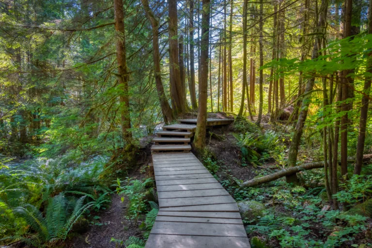
Nestled against the scenic foothills of the San Gabriel Mountains, La Crescenta-Montrose offers some of the best hiking trails in Southern California for outdoor enthusiasts of all skill levels. This charming community is renowned for its panoramic canyon views, peaceful oak woodlands, and well-maintained trail networks, making it an ideal destination for families, fitness hikers, and nature lovers alike. From leisurely walks to more challenging climbs, the area’s diverse terrain provides an exceptional mix of recreational opportunities and natural beauty. As you explore these top hiking spots, you will discover quiet escapes from city life, abundant wildlife, and year-round sunshine that enhances every outing. In the sections that follow, we will highlight the best hiking trails in La Crescenta-Montrose, CA, helping you choose the perfect route for your next adventure while staying safe, prepared, and informed on the trail.

Introduction
La Crescenta-Montrose, CA is a gateway to some of the best hiking trails in the San Gabriel Mountains. Nestled along the foothills, this community offers scenic routes for beginners, families, and seasoned hikers alike. With sweeping canyon vistas, shady oak woodlands, and panoramic city views, the area’s trails are ideal for outdoor enthusiasts seeking fresh air and natural beauty close to Los Angeles. In the following sections, we will explore the top hiking trails in La Crescenta-Montrose, along with tips to help you choose the right route for your next adventure.
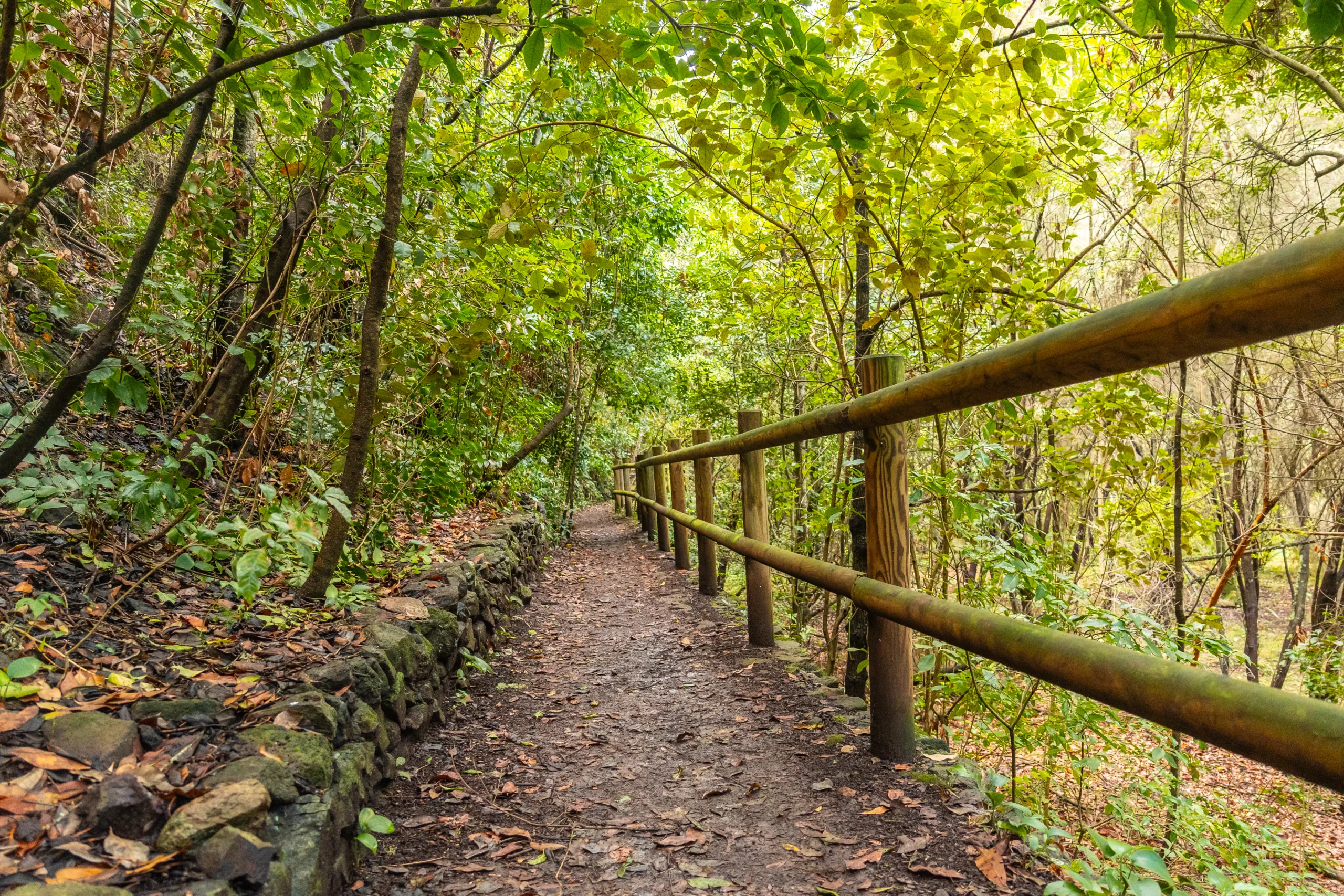
Deukmejian Wilderness Park Trails
Located directly above La Crescenta-Montrose, Deukmejian Wilderness Park offers some of the most accessible and rewarding hikes in the region. The park’s network of trails provides a range of difficulty levels, making it a popular choice for both beginners and experienced hikers. The Dunsmore Canyon Trail and the Cresenta View Trail are standout options, featuring steady climbs, wildflowers in spring, and expansive views of the Crescenta Valley. Because the trails are well-marked and maintained, this area is particularly suitable for families and those new to hiking in the San Gabriels.
| Trail | Distance (Round Trip) | Difficulty | Main Features |
|---|---|---|---|
| Dunsmore Canyon Trail | 3–4 miles | Moderate | Canyon views, seasonal stream, gradual climb |
| Cresenta View Trail | 4–5 miles | Moderate–Strenuous | Panoramic valley vistas, ridge walking |
Haines Canyon And Grizzly Flats
For hikers seeking a more rugged experience, the Haines Canyon Trail leading toward Grizzly Flats offers a longer and more secluded outing. Starting near La Crescenta-Montrose, this route follows an old fire road and single-track path through chaparral and pine. As you gain elevation, the views open up to reveal the surrounding peaks and canyons. While the trail is not overly technical, its length and elevation gain make it better suited for intermediate hikers in good condition.
Because this area is less developed than some other local parks, it is important to carry sufficient water, wear sturdy footwear, and check current trail conditions. Nevertheless, the sense of solitude and the opportunity to experience the San Gabriel backcountry make Haines Canyon and Grizzly Flats a highly rewarding choice.
Eagle Rock Via The PCT
Another popular route near La Crescenta-Montrose is the hike to Eagle Rock via a section of the Pacific Crest Trail (PCT). This hike typically begins from nearby trailheads such as the Fern Truck Trail area and quickly immerses you in classic Southern California mountain scenery. Rolling hills, oak and chaparral-covered slopes, and impressive rock formations define this route. The striking outcrop known as Eagle Rock provides a memorable viewpoint and a prime photo opportunity.
While this trail is moderately challenging due to its distance and elevation change, it remains accessible to most hikers with some experience. In addition, the connection to the Pacific Crest Trail adds a unique appeal, allowing visitors to walk along one of the most famous long-distance trails in the United States, even if just for a few miles.
Trail Comparison And Planning Tips
To help you choose the best hike in La Crescenta-Montrose for your needs, the table below compares key factors such as difficulty and scenery. Reviewing this information in advance will allow you to plan a safe and enjoyable outing tailored to your fitness level and time constraints.
| Trail Area | Best For | Estimated Time | Highlights |
|---|---|---|---|
| Deukmejian Wilderness Park | Beginners & families | 1.5–3 hours | Well-marked trails, valley views, picnic areas |
| Haines Canyon / Grizzly Flats | Intermediate hikers | 3–5 hours | Seclusion, backcountry feel, forested sections |
| Eagle Rock via PCT | Intermediate–advanced hikers | 3–4 hours | Unique rock formations, PCT segment, broad vistas |
When planning any of these hikes, remember to check weather forecasts, start early during warmer months, and pack essentials such as water, snacks, sun protection, and a basic first-aid kit. Additionally, parking regulations and trail conditions can change, so verifying current information from local agencies or park websites is always wise.
Conclusion
In summary, La Crescenta-Montrose offers a diverse selection of hiking trails that showcase the natural beauty of the San Gabriel foothills. From accessible routes in Deukmejian Wilderness Park to more adventurous treks through Haines Canyon and along the Pacific Crest Trail, there is a trail suited to every level of hiker. By selecting a route that matches your experience and preparing appropriately, you can enjoy breathtaking views, fresh mountain air, and a memorable outdoor experience just minutes from the city. Whether you are a local resident or a visitor exploring the region, these top hiking trails in La Crescenta-Montrose, CA deserve a spot on your must-hike list.
Finding the Best Hiking Trails in La Crescenta-Montrose, CA
What are some of the best beginner-friendly hiking trails in La Crescenta-Montrose?
Popular beginner-friendly options include the Crescenta Valley Park trails and the easier segments of Deukmejian Wilderness Park, especially around the Dunsmore Canyon area. These trails offer gradual elevation gain, well-marked paths, and scenic views of the San Gabriel Mountains without requiring advanced skills or special equipment. They are ideal for families, casual hikers, and those getting used to local conditions such as heat and dry terrain. Always carry water and sun protection, even on short beginner routes.
Where can I find more challenging hikes with elevation gain near La Crescenta-Montrose?
For steeper climbs and longer distances, consider trails in the Angeles National Forest accessible from La Crescenta-Montrose, such as the routes leading toward Mount Lukens or higher ridgelines above Dunsmore Canyon. These trails typically feature significant elevation gain, narrower paths, and less shade, rewarding experienced hikers with expansive views over the Crescenta Valley and the Los Angeles Basin. Check current trail conditions with the U.S. Forest Service and make sure you have adequate fitness, footwear, navigation tools, and water before attempting more advanced routes.
How can I find up-to-date information on trail conditions and closures?
Up-to-date information is best obtained by checking the Angeles National Forest website, contacting the local ranger station, and reviewing local government pages for La Crescenta-Montrose and adjacent communities. Additionally, reputable hiking platforms and apps often include recent trip reports that mention trail washouts, fire damage, or temporary closures. When planning, cross-check multiple sources and verify dates on reports, as conditions in the foothills and mountains can change rapidly due to storms, wildfires, or maintenance work.
What safety considerations should I keep in mind when hiking in La Crescenta-Montrose?
Key safety considerations include heat, limited shade, and rugged terrain. Start early in the day during warmer months, carry more water than you think you will need, and wear sun protection and sturdy footwear. Be aware of local wildlife, including rattlesnakes, and stay on established trails to reduce the risk of falls or encounters with unstable slopes. Always let someone know your planned route and expected return time, carry a charged phone and basic first-aid supplies, and avoid hiking alone on remote or unfamiliar trails, especially in extreme heat or during poor air quality days following wildfires.
When is the best time of year to hike the trails around La Crescenta-Montrose?
The most comfortable seasons for hiking in La Crescenta-Montrose are typically late fall through spring, when temperatures are cooler and visibility is often clearer after winter storms. Early mornings in late spring and early summer can also be pleasant if you avoid midday heat. During peak summer, it is advisable to choose shorter, shadier routes and to start at sunrise to minimize exposure to high temperatures. After heavy rains, allow time for trails to dry and be prepared for mud, slippery sections, or temporary closures due to erosion or maintenance work.


news via inbox
Sign up to get local tips delivered to your inbox.

