Best Hiking Trails in Hawthorne, CA
Best Hiking Trails In Hawthorne CA
Discover the best hiking trails in Hawthorne, CA, where urban convenience meets outdoor adventure. Nestled in the South Bay region of Los Angeles County, Hawthorne offers easy access to scenic paths, coastal overlooks, and family-friendly routes that appeal to both beginners and seasoned hikers. With its mild climate and proximity to the Pacific Ocean, this vibrant city serves as an excellent starting point for exploring nearby nature preserves, bluff-top viewpoints, and multi-use greenways. Moreover, Hawthorne’s central location means you can quickly reach iconic Southern California landscapes without long drives or complicated planning. In the following sections, we will highlight the top-rated hiking trails near Hawthorne, focusing on trail difficulty, distance, amenities, and unique features such as ocean vistas and wildlife viewing. By understanding your options, you can choose the ideal route for fitness, relaxation, or a weekend adventure with friends and family.
Introduction
Located in the heart of Los Angeles County, Hawthorne, CA, offers convenient access to some of Southern California’s most rewarding hiking experiences. While Hawthorne itself is largely urban, it sits just minutes from scenic coastal bluffs, rolling hills, and family-friendly nature preserves. This guide highlights the best hiking trails near Hawthorne, CA, helping you plan outdoor adventures that combine accessibility, natural beauty, and varied difficulty levels. From ocean-view paths to peaceful wetlands, hikers of all skill levels can find a trail that suits their needs.
Why Hike Near Hawthorne
Because Hawthorne is centrally located, it serves as an excellent base for exploring nearby outdoor areas. Within a 10–30 minute drive, you can access coastal trails with Pacific Ocean views, urban nature reserves, and quiet canyons. These trails are ideal for residents seeking a quick workout, families looking for safe and scenic walks, and visitors who want to experience Southern California’s landscapes without traveling far from the city.
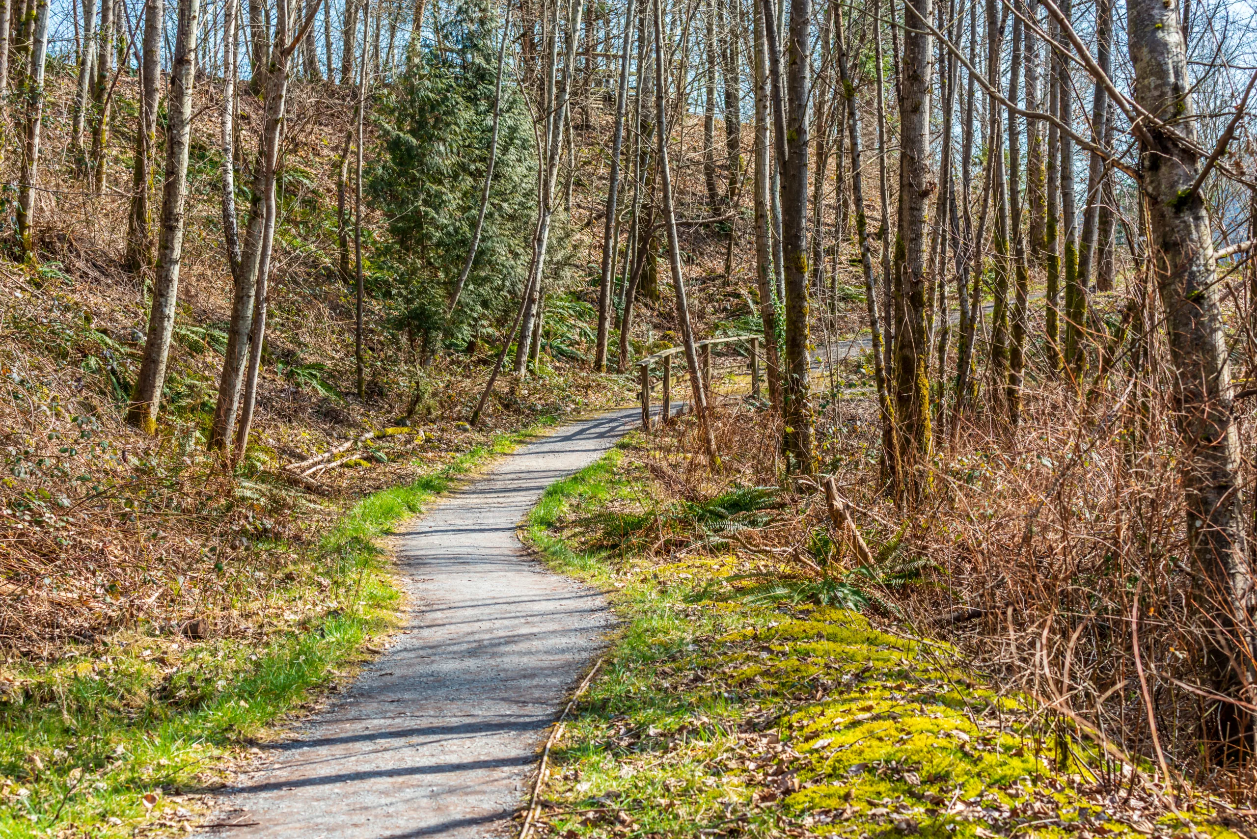
Top Hiking Trails Near Hawthorne
Although Hawthorne itself has limited traditional hiking routes, nearby communities such as Manhattan Beach, El Segundo, and the Palos Verdes Peninsula offer an impressive variety of trails. The following table provides an at-a-glance overview of some of the top hiking options close to Hawthorne.
| Trail Name | Approx. Distance From Hawthorne | Difficulty | Main Highlights |
|---|---|---|---|
| The Strand Beach Path (Manhattan Beach) | ~4–5 miles west | Easy | Coastal views, paved path, perfect for walking or jogging |
| El Segundo Beach Trail | ~5 miles west | Easy | Ocean scenery, bike-friendly, family-friendly route |
| Ken Malloy Harbor Regional Park Trails | ~12 miles south | Easy–Moderate | Lake views, bird-watching, natural wetlands |
| Hermosa Valley Greenbelt | ~7 miles southwest | Easy | Shaded urban nature corridor with gravel paths |
| Palos Verdes Peninsula Trails (Various) | ~15–20 miles southwest | Moderate–Challenging | Bluff-top ocean views, canyon hikes, dramatic cliffs |
Featured Trails And Highlights
For those seeking an accessible starting point, The Strand Beach Path in Manhattan Beach offers a flat, paved route that is ideal for beginners and families. Extending along the shoreline, this path delivers constant ocean breezes and expansive coastal vistas, making it a top choice for sunrise or sunset walks.
Just north of Manhattan Beach, the El Segundo Beach Trail is another excellent option. This route runs parallel to the sand and is perfect for walkers, runners, and cyclists who want an easy, scenic workout after work or on weekends.
For a more natural environment, Ken Malloy Harbor Regional Park features a network of trails circling a lake and wetlands. This area is popular with bird-watchers and those looking for a peaceful escape from city noise. The terrain is mostly flat, with a mix of dirt and paved paths.
Meanwhile, the Hermosa Valley Greenbelt offers a shaded, tree-lined trail that runs through a narrow corridor in Hermosa Beach. Its gravel surface and gentle slopes make it ideal for daily walks, dog walking, and light jogging.
Finally, hikers seeking more elevation and challenge should explore the Palos Verdes Peninsula trails. From coastal bluff hikes at Abalone Cove to canyon routes at Portuguese Bend, this region offers some of the most dramatic ocean-view hiking experiences within a short drive of Hawthorne.
Trail Comparison And Planning
To help you choose the best hiking trail near Hawthorne, review the comparison table below. It summarizes key information about trail type, estimated time, and suitability for different users.
| Trail | Estimated Round-Trip Time | Trail Type | Best For |
|---|---|---|---|
| The Strand Beach Path | 1–2 hours (flexible distance) | Paved coastal path | Families, beginners, runners |
| El Segundo Beach Trail | 1–2 hours (flexible distance) | Paved and bike-friendly | Cyclists, walkers, scenic workouts |
| Ken Malloy Harbor Regional Park | 1–3 hours | Loop and connecting dirt/paved paths | Bird-watchers, casual hikers |
| Hermosa Valley Greenbelt | 1–1.5 hours | Gravel urban greenbelt trail | Daily walks, dog walking |
| Palos Verdes Peninsula | 1–4+ hours | Bluff and canyon dirt trails | Experienced hikers, photographers |
Conclusion
Although Hawthorne, CA, is known more for its urban energy than for wilderness, it is perfectly positioned near a diverse range of hiking opportunities. From easy coastal walks on The Strand and El Segundo Beach Trail to the challenging, scenic routes of the Palos Verdes Peninsula, there is a trail to match every fitness level and schedule. By using Hawthorne as your starting point, you can quickly reach ocean views, wetlands, and shaded greenbelts, all within a short drive. Plan your next outing with these trails in mind, and you will discover just how rewarding hiking near Hawthorne can be.
Finding the Best Hiking Trails in Hawthorne, CA
What are the closest quality hiking areas near Hawthorne, CA?
How can I research the best hiking trails near Hawthorne before I go?
What should I look for when choosing a trail suitable for my fitness level?
When is the best time of day and year to hike near Hawthorne, CA?
Are there family-friendly or beginner-friendly hiking options near Hawthorne?


latest video
news via inbox
Sign up to get local tips delivered to your inbox.

