Best Hiking Trails in Glendora, CA
Best Hiking Trails In Glendora CA
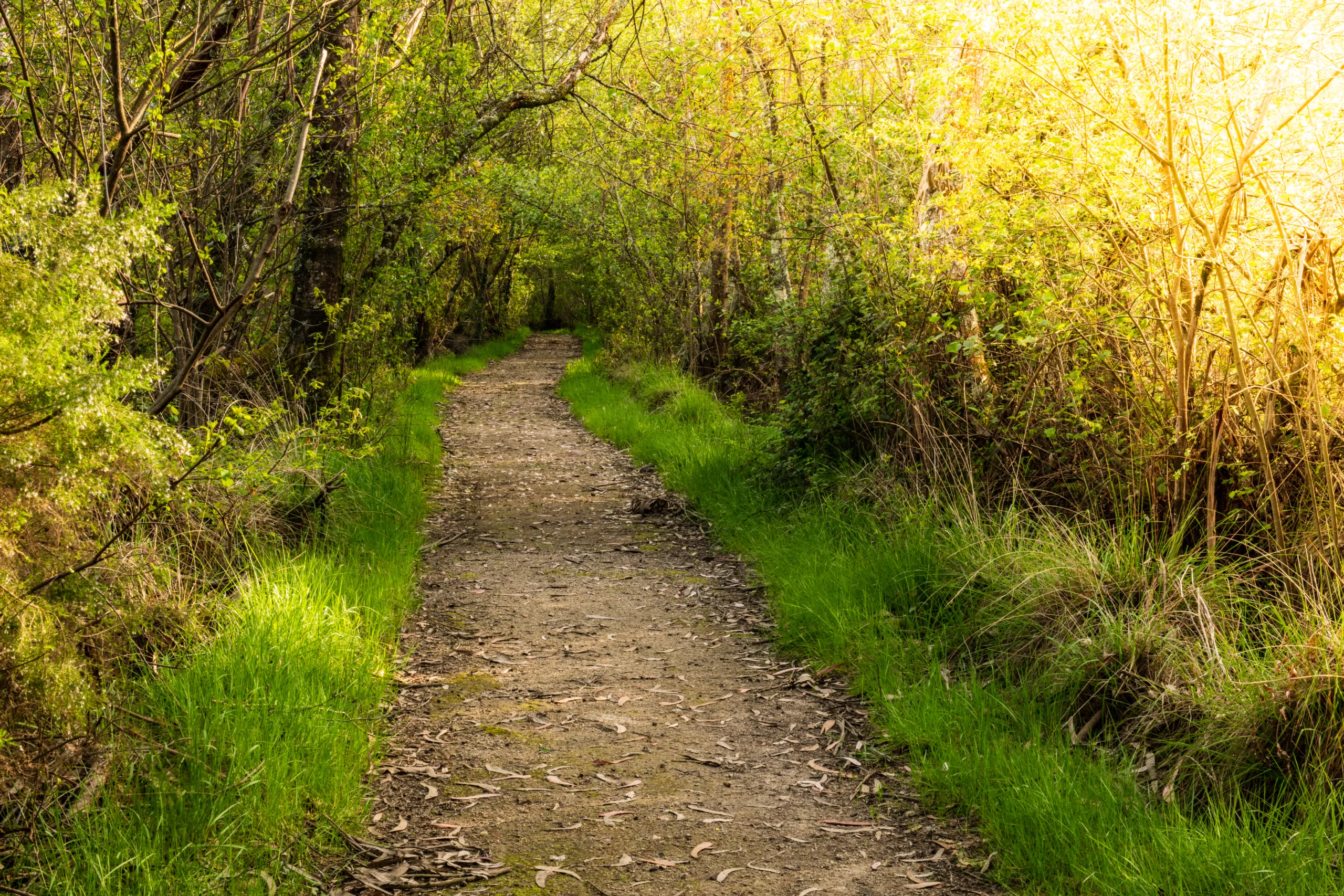
Nestled at the foothills of the San Gabriel Mountains, Glendora, CA offers some of the best hiking trails in Southern California, attracting outdoor enthusiasts of all levels. From gentle nature walks to challenging summit climbs, the area’s diverse terrain provides scenic routes for every hiker. With its convenient location near Los Angeles, Glendora’s trails are perfect for quick weekday escapes and extended weekend adventures alike.
As you explore the top hiking trails in Glendora, you will encounter panoramic city views, rugged canyon paths, and lush seasonal greenery that make each route uniquely rewarding. Well-maintained trailheads, clear signage, and nearby amenities further enhance the overall hiking experience. Moreover, many of these paths are family-friendly, offering safe and enjoyable outings for all ages. In the following sections, we will highlight the most popular Glendora hikes, essential tips, and what to expect on each trail.

Introduction
Located at the base of the San Gabriel Mountains, Glendora, CA offers some of the best hiking trails in Los Angeles County. With panoramic city views, lush canyons, and challenging mountain ascents, Glendora is a prime destination for outdoor enthusiasts. This guide explores the best hiking trails in Glendora, helping you plan your next adventure while optimizing your search for the perfect local hike.
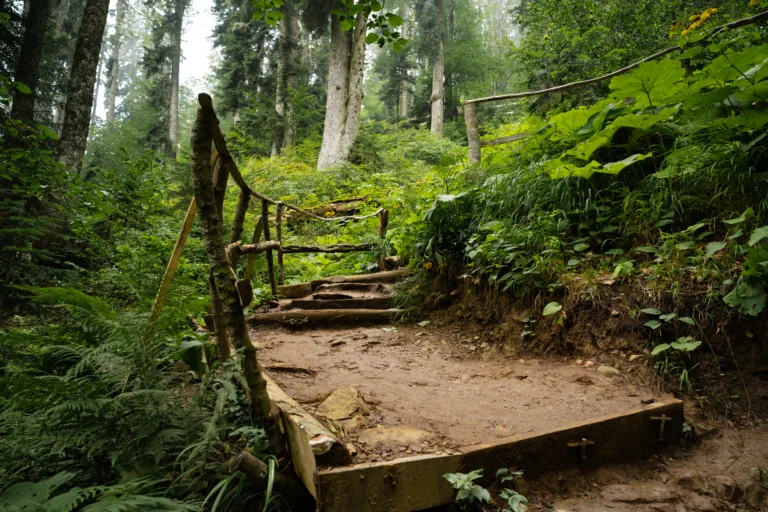
Big Dalton Canyon Trail
The Big Dalton Canyon Trail is one of Glendora’s most family-friendly hiking options. Located within Big Dalton Canyon Wilderness Park, this trail features gentle inclines, shaded areas, and access to picnic spots, making it ideal for beginners and casual hikers. Moreover, the peaceful creek and abundant trees offer a refreshing escape from city life, especially on warmer days.
| Feature | Details |
|---|---|
| Difficulty | Easy |
| Approximate Distance | 2–3 miles round trip (depending on route) |
| Trail Type | Out-and-back |
| Best For | Families, beginners, nature walks |
Glendora Mountain Road Trails
For hikers looking for elevation and sweeping vistas, the various trails that branch off Glendora Mountain Road (GMR) are a top choice. These trails provide access to higher ridgelines with impressive views of the San Gabriel Valley. While sections can be steep and exposed, they reward hikers with sunrise and sunset panoramas that are perfect for photography.
| Feature | Details |
|---|---|
| Difficulty | Moderate to Difficult |
| Approximate Distance | Varies (3–10+ miles) |
| Trail Type | Network of out-and-back and loop options |
| Best For | Experienced hikers, trail runners, scenic viewpoints |
Colby Trail
The Colby Trail is a popular choice for those seeking a short yet rewarding hike close to downtown Glendora. Beginning near the foothills, this well-maintained trail gradually climbs through chaparral landscapes, offering views of the valley and nearby neighborhoods. Because it is relatively short, Colby Trail is excellent for quick weekday workouts or introductory hikes.
| Feature | Details |
|---|---|
| Difficulty | Easy to Moderate |
| Approximate Distance | 1.5–2 miles round trip |
| Trail Type | Out-and-back |
| Best For | Short hikes, beginners building stamina |
Glendora Wilderness Park Trails
Glendora Wilderness Park features several interconnected trails, creating customizable loops for different fitness levels. These paths pass through rolling hills, native vegetation, and seasonal wildflowers. As you explore the park, you will notice that the trails are well-marked, which simplifies navigation and makes it easier to extend or shorten your route as needed.
| Feature | Details |
|---|---|
| Difficulty | Easy to Moderate |
| Approximate Distance | 1–5 miles (loop options) |
| Trail Type | Loop and connector trails |
| Best For | Fitness hikes, nature viewing, flexible routes |
Essential Hiking Tips For Glendora Trails
When tackling the best hiking trails in Glendora, it is important to prepare properly. Always bring plenty of water, wear sun protection, and check weather conditions before heading out. Additionally, some trailheads may have limited parking, so arriving early helps you secure a spot and enjoy a quieter experience. Staying on marked paths and packing out all trash also protects the local environment and keeps these trails enjoyable for everyone.
Conclusion
From the serene paths of Big Dalton Canyon to the elevated views along Glendora Mountain Road, Glendora, CA offers diverse hiking experiences for all ability levels. By choosing trails that match your fitness and interests, you can fully appreciate the natural beauty of the San Gabriel foothills. Whether you are planning a family outing or training for longer mountain treks, Glendora’s trails provide a scenic, convenient, and rewarding outdoor escape.
Finding the Best Hiking Trails in Glendora, CA
How can I find the most popular hiking trails in Glendora, CA?
To find the most popular hiking trails in Glendora, use reputable trail platforms such as AllTrails and Hiking Project and filter by location and rating. Search specifically for Glendora hotspots like Big Dalton Canyon, Glendora Mountain Road areas, and Colby Trail. Cross-check trail reviews, recent photos, and trip reports to confirm current conditions and popularity. You can also check the City of Glendora Parks & Recreation website and local hiking groups on social media for recommendations and up-to-date route suggestions.
Which Glendora trails are best for beginners?
Beginners in Glendora should look for trails with moderate elevation gain, clear signage, and good maintenance. Colby Trail, parts of the Big Dalton Canyon trail network, and the lower segments of Mystic Canyon are typically suitable for newer hikers. When reviewing trail descriptions online, focus on routes listed as “easy,” with shorter distances and well-marked paths. Always review recent user comments for notes on steep sections, loose terrain, or closures before heading out.
How do I choose a trail in Glendora that matches my fitness level?
To match a Glendora trail to your fitness level, evaluate distance, total elevation gain, and expected hiking time. Compare these factors to your recent activity—choose routes that are slightly challenging but still realistic based on your current stamina. Trails near Glendora Mountain Road and Garcia Trail–style routes can be steep and may suit intermediate to advanced hikers, while shorter canyon trails are often better for casual outings. Use detailed trail maps and elevation profiles online, and plan to start with shorter hikes, gradually increasing difficulty as you gain experience.
Where can I find reliable information about trail conditions and closures in Glendora?
Reliable trail condition updates for Glendora are typically available from official land management agencies and local city resources. Check the Angeles National Forest website for information on forest closures, fire restrictions, and road access that may affect nearby Glendora trails. Review the City of Glendora Parks & Recreation or Public Works pages for park and trail maintenance alerts. Complement this with recent user reports on popular hiking apps, where hikers post about washouts, overgrown sections, or temporary restrictions encountered on the trail.
What safety considerations should I keep in mind when hiking in Glendora?
When hiking in Glendora, plan for sun exposure, heat, and variable terrain by carrying adequate water, sun protection, and sturdy footwear. Check the weather forecast and avoid hiking during extreme heat or shortly after heavy rain, when trails can be slippery or unstable. Many trails near the foothills have limited shade and cell coverage, so share your route and expected return time with someone before you go. Stay on marked paths, respect fire restrictions, watch for wildlife such as snakes, and keep an updated map or offline GPS navigation available in case signage is unclear.


news via inbox
Sign up to get local tips delivered to your inbox.


