Best Hiking Trails in Garfield, UT
Best Hiking Trails In Garfield Utah
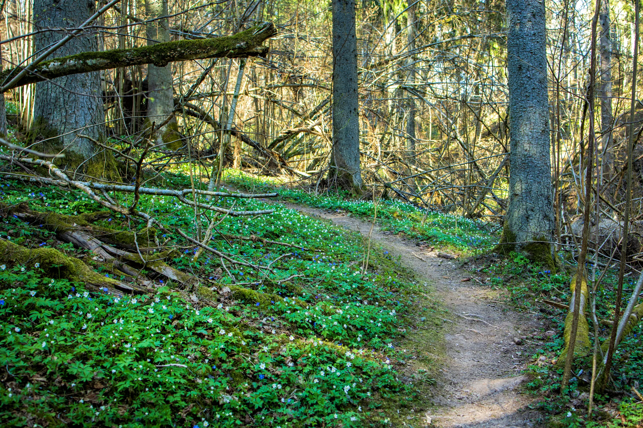
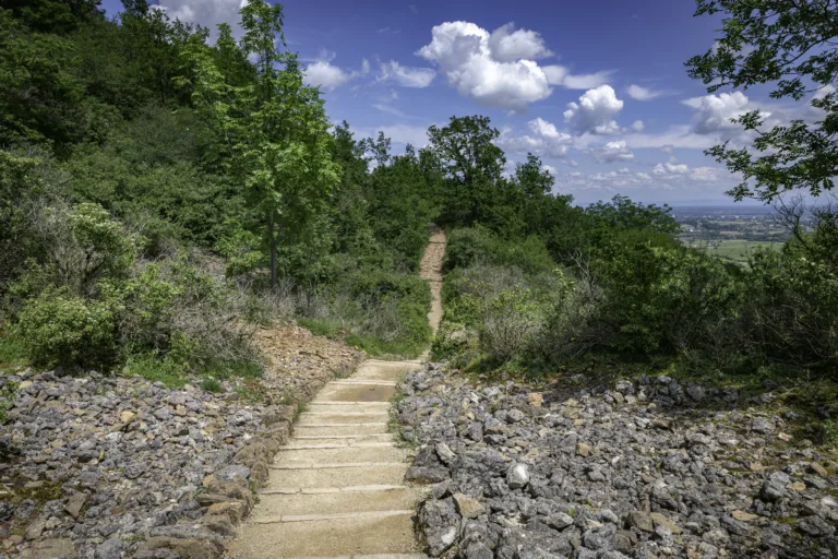
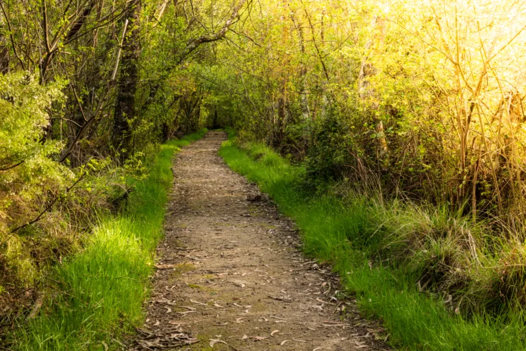
Nestled in the heart of southern Utah’s red rock country, **Garfield County offers some of the best hiking trails in the American Southwest**. From the iconic hoodoos of Bryce Canyon to the remote backcountry of Grand Staircase-Escalante, this region delivers unforgettable scenery for hikers of all skill levels. In this guide, you will discover **top-rated Garfield, UT hikes**, along with tips to help you plan a safe and rewarding outdoor adventure.
As you explore, you will encounter **panoramic canyon vistas, natural arches, slot canyons, and high-elevation forests**, each revealing a different side of Utah’s diverse landscape. Moreover, many of these trails are easily accessible from popular gateway towns, making it simple to combine day hikes with longer stays. Whether you are seeking family-friendly walks or challenging backcountry routes, Garfield County’s hiking network provides endless opportunities to experience Utah’s rugged beauty.
Introduction
Garfield County, Utah, is a hiker’s paradise, home to some of the most stunning and diverse landscapes in the American Southwest. From the iconic hoodoos of Bryce Canyon National Park to the remote canyons of Grand Staircase–Escalante National Monument, this region offers unforgettable outdoor adventures for beginners and seasoned trekkers alike. In this guide, you will discover the best hiking trails in Garfield, UT, along with practical tips to help you plan a safe and rewarding visit.
Bryce Canyon National Park Trails
One of the crown jewels of Garfield County is Bryce Canyon National Park. Its maze of red rock hoodoos and amphitheaters creates a dreamlike setting for hikers seeking both scenic beauty and accessible trails.
The Navajo Loop and Queen’s Garden Trail is often considered the park’s signature hike. This moderately challenging loop descends from the rim into the heart of the amphitheater, weaving among towering formations and offering excellent photo opportunities. Meanwhile, the Peekaboo Loop Trail provides a longer, more strenuous route, perfect for those wanting a deeper immersion into Bryce’s unique geology.
To compare some of the top Bryce Canyon trails, use the table below as a quick reference.
| Trail Name | Distance (Round Trip) | Difficulty | Highlights |
|---|---|---|---|
| Navajo Loop & Queen’s Garden | 3.0 miles | Moderate | Hoodoos, switchbacks, canyon views |
| Peekaboo Loop | 5.5 miles | Strenuous | Extended hoodoo formations, fewer crowds |
| Rim Trail (Sunrise to Sunset) | 1.0 mile | Easy | Panoramic views along the canyon rim |
Grand Staircase–Escalante National Monument Trails
Heading east, Grand Staircase–Escalante National Monument offers a more remote and adventurous hiking experience. Here, narrow slot canyons, slickrock domes, and desert oases reward hikers who are willing to explore beyond the beaten path.
The Lower Calf Creek Falls Trail is one of the monument’s most popular hikes, leading to a stunning 126-foot waterfall framed by vibrant desert foliage. This well-marked trail is relatively moderate, making it ideal for families. For a classic slot canyon experience, the Peek-a-Boo and Spooky Gulch Loop challenges hikers with tight passages, short scrambles, and unforgettable sandstone corridors.
| Trail Name | Distance (Round Trip) | Difficulty | Key Features |
|---|---|---|---|
| Lower Calf Creek Falls | 6.0 miles | Moderate | Waterfall, petroglyphs, lush canyon |
| Peek-a-Boo & Spooky Loop | 3.5 miles | Moderate–Strenuous | Slot canyons, tight passages, adventure |
| Escalante River Trail (Segments) | Varies | Easy–Moderate | River crossings, arches, side canyons |
Practical Hiking Tips For Garfield Utah
Because many of the best hiking trails in Garfield County traverse high desert terrain, preparation is essential. Always check local weather and road conditions, as flash floods and unpaved access roads can affect safety. Additionally, carry more water than you think you will need, wear sun protection, and let someone know your itinerary, particularly for remote routes in Grand Staircase–Escalante.
Permits may be required for certain areas, so it is wise to consult the National Park Service and Bureau of Land Management websites before you go. By planning ahead, you will protect both yourself and the fragile desert environment.
Conclusion
From the dramatic hoodoos of Bryce Canyon to the secluded waterfalls and slot canyons of Grand Staircase–Escalante, Garfield, UT offers some of the best hiking in Utah. Whether you are seeking an easy rim stroll with panoramic vistas or a challenging backcountry adventure, the trails in this remarkable county deliver unforgettable experiences. With proper planning and respect for the land, your next hiking trip to Garfield County can be both safe and spectacular.
Finding the Best Hiking Trails in Garfield, UT
How can I find the best hiking trails in Garfield County, Utah?
What are some must-visit hiking areas in Garfield County?
How do I choose a trail that matches my skill level in Garfield County?
When is the best time of year to hike in Garfield County, Utah?
What safety considerations should I keep in mind when hiking in Garfield County?


latest video
news via inbox
Sign up to get local tips delivered to your inbox.


