Best Hiking Trails in Fresno, CA
Best Hiking Trails In Fresno CA
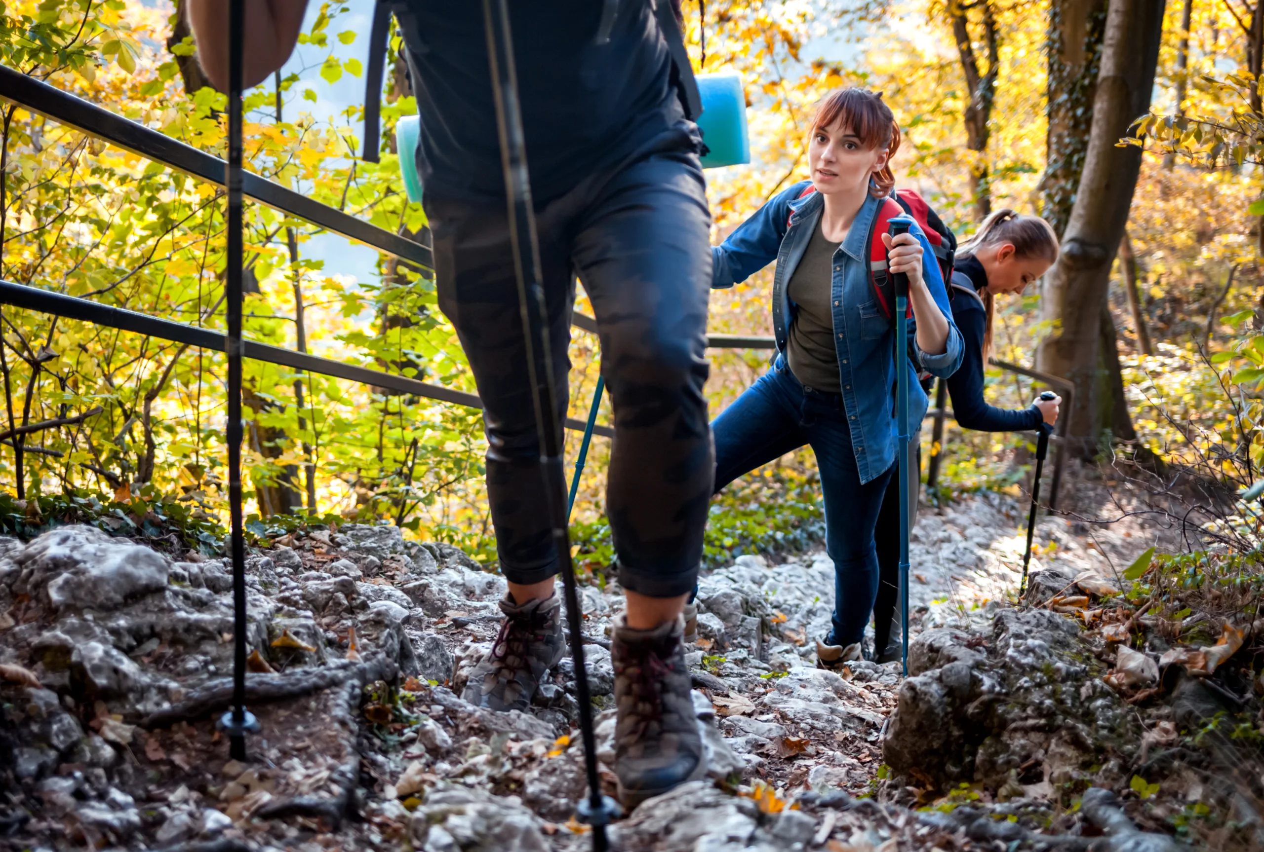
Nestled in the heart of California’s Central Valley, Fresno offers convenient access to some of the best hiking trails in the state, ranging from easy riverside walks to challenging mountain ascents. For outdoor enthusiasts planning their next adventure, Fresno serves as a gateway to Yosemite National Park, Sequoia National Park, and the Sierra Nevada foothills, all of which feature diverse landscapes and scenic vistas. As you explore this guide, you’ll discover family-friendly paths, dog-friendly routes, and rugged backcountry trails that highlight the region’s natural beauty. Moreover, many of these hikes are accessible year-round, making Fresno an ideal base for both casual walkers and seasoned hikers. In the following sections, we will break down the top-rated trails, provide practical tips for planning your trip, and help you choose the best Fresno hiking experience to match your skill level and interests.

Introduction
Fresno, CA offers convenient access to some of the best hiking trails in Central California, making it a prime base for outdoor enthusiasts. From riverside paths within city limits to challenging climbs in the nearby Sierra Nevada foothills, Fresno’s hiking options cater to beginners and seasoned trekkers alike. This guide highlights the top hiking trails near Fresno, helping you plan memorable, scenic, and safe adventures.
Top Hiking Trails In And Around Fresno
To begin, it is helpful to understand the variety of experiences available within a short drive of the city. Whether you are seeking a quick urban walk or a full–day mountain hike, Fresno’s trail network has you covered.
| Trail Name | Location | Difficulty | Approx. Distance |
|---|---|---|---|
| Hidden Homes Nature Trail | San Joaquin River Gorge | Easy | 1.5 miles loop |
| River Gorge Trail | San Joaquin River Gorge | Moderate | 5–7 miles out and back |
| Pine Flat Lake Trails | East of Fresno | Easy to Moderate | 2–6 miles |
| Lewis S Eaton Trail | Woodward Park / San Joaquin River | Easy | 11 miles out and back |
| Millerton Lake Trails | Millerton Lake State Recreation Area | Moderate | 3–5 miles |
Best Urban And Riverside Trails
For locals and visitors who prefer staying close to the city, Lewis S Eaton Trail is one of the most popular options. Beginning near Woodward Park and following the San Joaquin River, this paved and packed–dirt path offers wide open views, gentle grades, and multiple access points. It is ideal for walking, jogging, or cycling, and it is particularly appealing for families and beginners.
Additionally, the trails within Woodward Park itself provide short loops with mild elevation changes. These paths are shaded in many sections, making them a comfortable choice for warm days. Birdwatchers and photographers will also appreciate the abundance of wildlife and river vistas along these riverside corridors.
Scenic Mountain And Lake Hikes
Moving from the city toward the Sierra foothills, hikers can explore more rugged and scenic terrain. The San Joaquin River Gorge Recreation Area features the Hidden Homes Nature Trail and the longer River Gorge Trail. Hidden Homes is a family–friendly loop that includes interpretive displays and river overlooks, while the River Gorge Trail offers more elevation gain, wildflower displays in spring, and expansive canyon views.
Nearby, Millerton Lake State Recreation Area provides networked trails that wind along the shoreline and up surrounding hillsides. These paths reward hikers with panoramic views of the lake and the rolling foothills. Just a bit farther, trails around Pine Flat Lake deliver similar experiences with fewer crowds, making them a great choice for those seeking quiet and solitude.
Trail Comparison And Planning Tips
To select the best route for your needs, it is useful to compare distance, difficulty, and primary highlights. The table below summarizes key considerations for planning your next Fresno hike.
| Trail | Best For | Key Highlights |
|---|---|---|
| Lewis S Eaton Trail | Beginners, families, runners | Riverside views, easy terrain, city access |
| Hidden Homes Nature Trail | Educational outings, kids | Interpretive signs, short loop, river vistas |
| River Gorge Trail | Intermediate hikers | Canyon scenery, spring wildflowers, moderate challenge |
| Millerton Lake Trails | Scenic exercise, day hikes | Lake views, rolling hills, wildlife sightings |
| Pine Flat Lake Trails | Quiet nature escapes | Less crowded, lake and foothill landscapes |
Conclusion
In summary, the best hiking trails in Fresno, CA offer a blend of accessibility, natural beauty, and variety. From the convenient riverside paths of Lewis S Eaton Trail and Woodward Park to the dramatic landscapes of the San Joaquin River Gorge, Millerton Lake, and Pine Flat Lake, hikers can enjoy rewarding experiences in every season. By choosing trails that match your fitness level, packing adequate water, and checking conditions in advance, you can safely explore the Fresno area’s diverse outdoor environments and make the most of each hiking adventure.
Finding the Best Hiking Trails in Fresno, CA
How can I find the best hiking trails near Fresno, CA for my skill level?
Use reputable trail platforms such as AllTrails and Hiking Project and filter by difficulty (easy, moderate, hard), distance, and elevation gain. Check recent user reviews for trail conditions and safety notes. For local insight, consult the Sierra National Forest and Sequoia National Forest websites, which list recommended routes by difficulty. Local outdoor gear shops in Fresno and the Fresno Hiking Club also provide guidance tailored to beginners, families, and experienced hikers who want more challenging terrain in nearby foothills and the Sierra Nevada.
What are some popular beginner-friendly hikes close to Fresno?
Several options near Fresno suit new or casual hikers. The Lewis S. Eaton Trail along the San Joaquin River Parkway is mostly flat, well-maintained, and easily accessible from the city, making it ideal for families and walkers. Millerton Lake State Recreation Area, about 20–30 minutes from Fresno, offers short, scenic shoreline and foothill trails with moderate elevation and good views of the lake. Nearby, trails around Lost Lake Recreation Area provide easy riverside walks. When choosing a route, confirm distance and elevation in advance and monitor weather, as heat can be intense during summer months.
Where can I find scenic mountain hikes within driving distance of Fresno?
Fresno is a gateway to several mountain regions with excellent hiking. Shaver Lake and Huntington Lake areas in the Sierra National Forest, typically 1–2 hours from Fresno, offer numerous forest and lake-view trails with cooler temperatures in summer. Sequoia and Kings Canyon National Parks, also accessible by car from Fresno, provide classic Sierra Nevada hikes through giant sequoia groves, canyon overlooks, and alpine terrain. For each area, review official park or forest service maps, check for road closures and permits, and choose hikes that match your fitness and experience level.
How do I check trail conditions and safety information around Fresno before hiking?
Before heading out, review current conditions from multiple sources. Visit the websites for Sierra National Forest, Sequoia National Forest, and nearby state or regional parks for official notices about closures, fire restrictions, or hazardous conditions. Use trail apps to read recent trip reports that mention washouts, overgrowth, wildlife activity, or heavy traffic. Monitor local weather forecasts for the specific trailhead elevation, as conditions can vary significantly from the Fresno city area. During fire season or heavy winter storms, contact ranger stations by phone to confirm access and recommended routes for the day.
What should I consider when planning a day hike near Fresno, CA?
When planning a Fresno-area day hike, consider distance, elevation gain, driving time, and seasonal weather. Summer temperatures in the valley can be extreme, so start early, seek higher-elevation trails, and carry ample water, sun protection, and snacks. Confirm whether parking fees or permits are required at the trailhead, especially in national parks, national forests, and state recreation areas. Share your plan with someone, including your route and expected return time, and download offline maps in case you lose cell service in the foothills or mountains. Respect local regulations, practice Leave No Trace principles, and be prepared to adjust your plans if conditions change.

latest video

news via inbox
Sign up to get local tips delivered to your inbox.


