Best Hiking Trails in Fresno, CA
Best Hiking Trails In Fresno CA
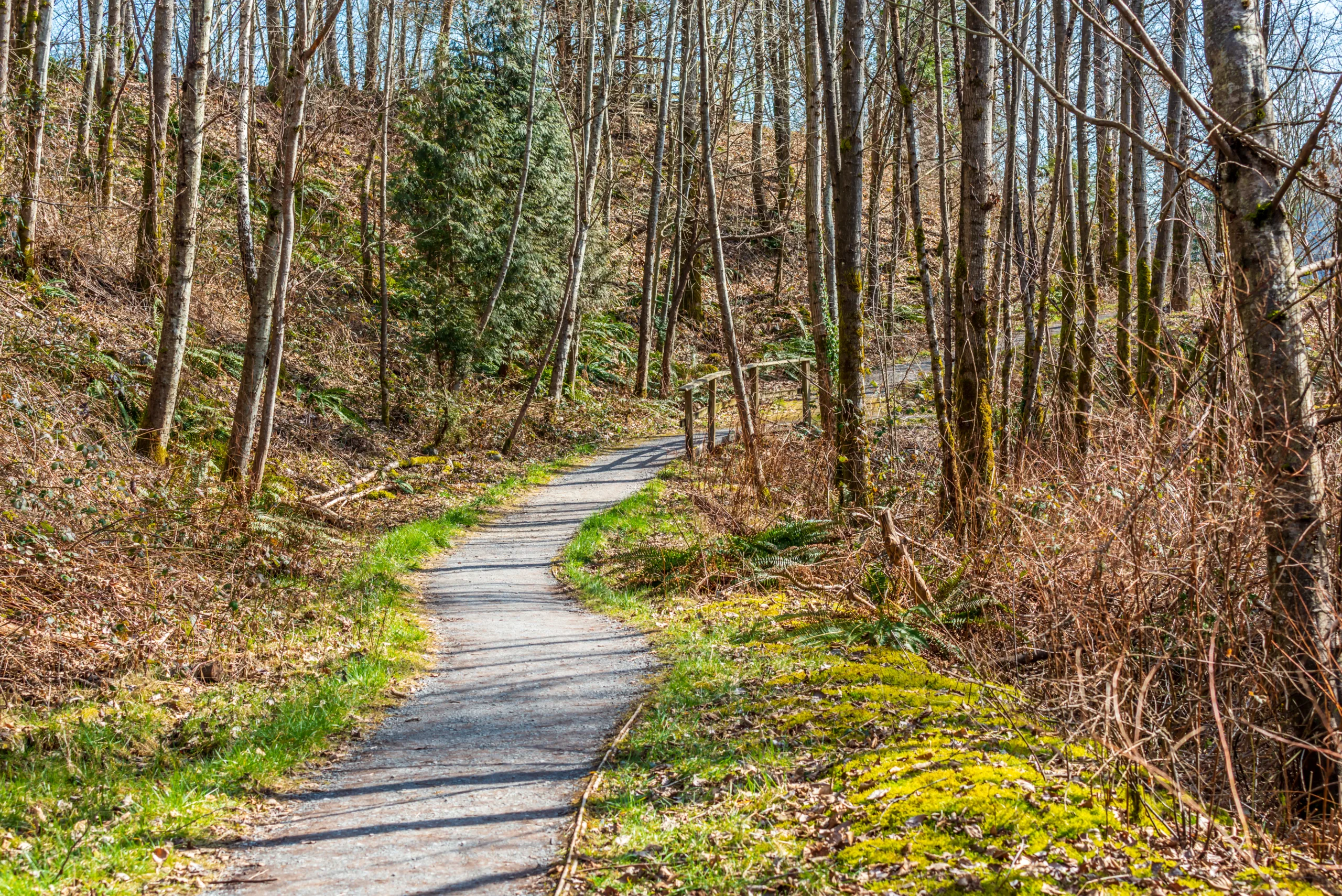
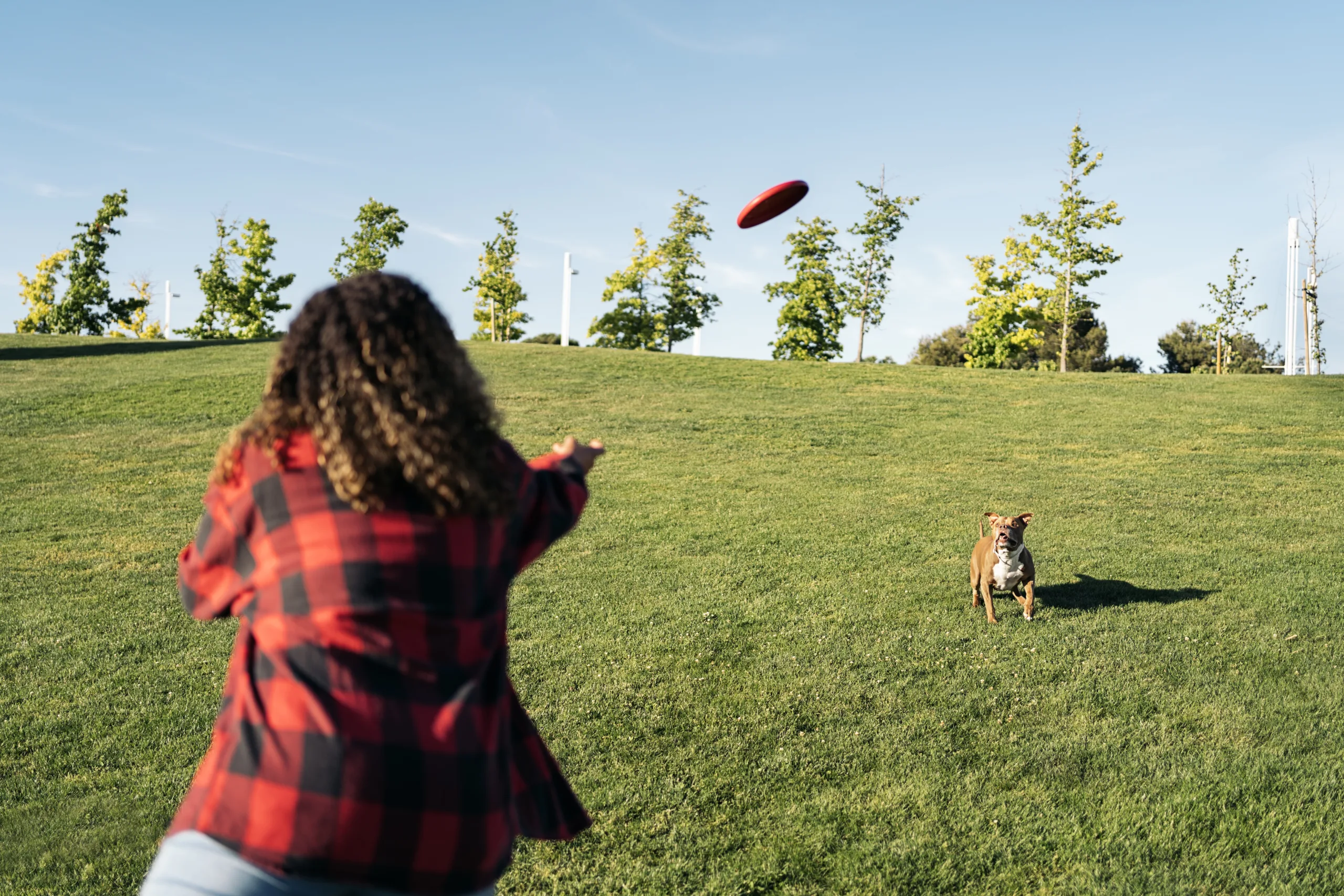
Nestled in the heart of California’s Central Valley, Fresno offers some of the best hiking trails for outdoor enthusiasts seeking scenic views, diverse terrain, and convenient access to nature. From peaceful riverside paths to challenging foothill climbs, Fresno hiking trails provide options for every skill level and interest. Whether you are a local resident or planning a visit, exploring these trails is an excellent way to experience the region’s natural beauty while staying active and healthy.
Moreover, Fresno’s central location makes it a gateway to iconic destinations like Yosemite National Park, Kings Canyon, and Sequoia, further enhancing its appeal for hikers and nature lovers. As you discover the best hiking trails in Fresno, CA, you will encounter stunning wildflower blooms in spring, expansive valley vistas in summer, and crisp, clear air in fall, ensuring that every visit feels both refreshing and memorable.
Best Hiking Trails In Fresno CA
Fresno, CA is a strategic gateway to some of California’s most scenic outdoor adventures. While many hikers head straight to nearby national parks, the best hiking trails in Fresno offer surprising variety, from riverside walks to foothill climbs with panoramic Valley views. Whether you are a beginner or an experienced hiker, Fresno’s trail network provides accessible, family-friendly routes as well as more challenging terrain.
Why Hike In Fresno
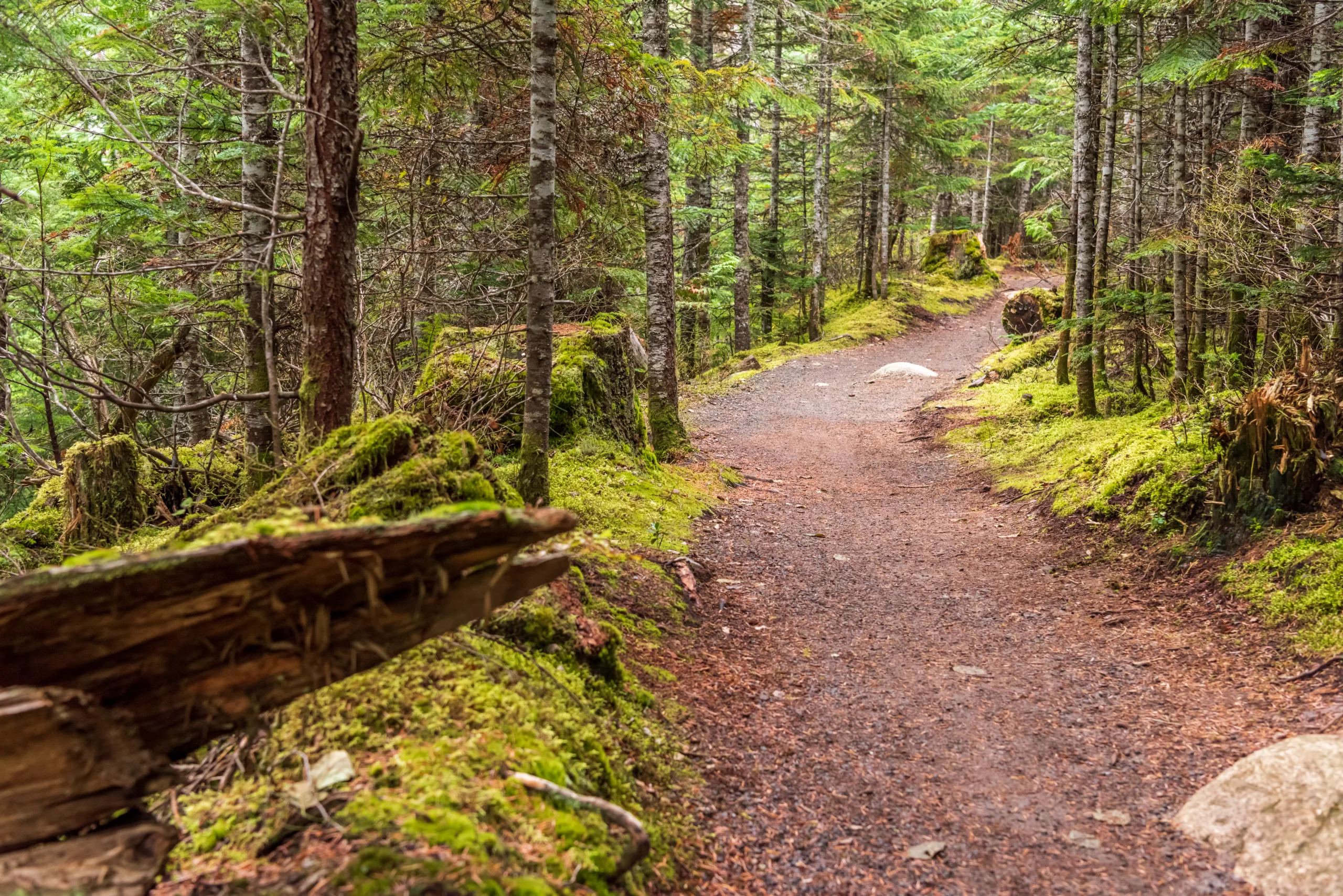
Situated in the heart of the Central Valley and close to the Sierra Nevada, Fresno delivers a unique blend of urban convenience and natural beauty. Trails are often just minutes from major roads, yet they feel remote and peaceful. In addition, the region’s mild spring and fall weather creates a long hiking season, allowing you to enjoy wildflowers, wildlife, and expansive vistas almost year-round.
Top Hiking Trails In Fresno
To help you plan your next outdoor escape, the following table highlights some of the top-rated hiking trails in Fresno, CA, along with their key features.
| Trail Name | Distance (Round Trip) | Difficulty | Key Features |
|---|---|---|---|
| Woodward Park Trails | 1–5 miles (various loops) | Easy | Paved and dirt paths, lake views, family friendly |
| Lewis S Eaton Trail | Up to ~14 miles | Easy | San Joaquin River views, biking and walking, wildlife viewing |
| Pincushion Peak (near Friant) | Approximately 3 miles | Moderate to Strenuous | Steep climb, Millerton Lake views, great training hike |
| Sky Harbor Trail (Millerton Lake) | 2–4 miles | Easy to Moderate | Lakeside scenery, rolling hills, sunset views |
Trail Highlights And Hiking Tips
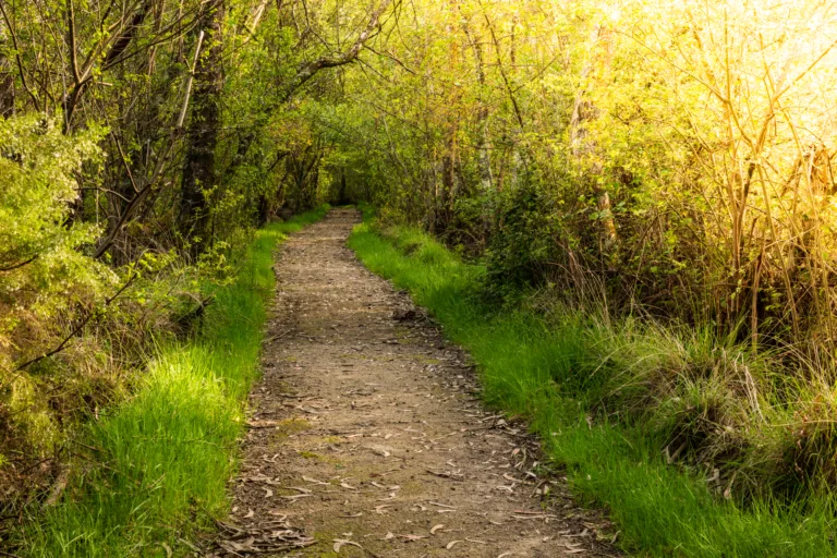
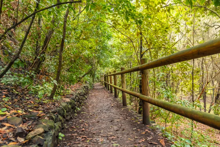
For newcomers, Woodward Park is an ideal starting point, offering shaded sections, restrooms, and multiple loop options suitable for families and casual walkers. Meanwhile, the Lewis S Eaton Trail provides a longer, mostly flat route along the San Joaquin River, perfect for runners, cyclists, and birdwatchers looking for an easy but scenic outing.
As you seek more elevation, Pincushion Peak near Friant delivers a rewarding workout with sweeping views over Millerton Lake and the surrounding foothills. This trail is rocky and exposed, so starting early and carrying plenty of water are essential. Similarly, the Sky Harbor Trail at Millerton Lake offers rolling terrain and stunning lakefront vistas, especially striking at sunrise and sunset.
Because Fresno’s summer temperatures can be extreme, it is wise to hike during the cooler morning or evening hours, wear sun protection, and bring sufficient hydration. Staying on marked paths and checking current conditions before you go will help ensure a safe and enjoyable hiking experience.
Conclusion
From riverside greenways to challenging foothill climbs, the best hiking trails in Fresno, CA showcase the region’s natural diversity and year-round outdoor appeal. By exploring routes such as Woodward Park, the Lewis S Eaton Trail, Pincushion Peak, and Sky Harbor, you can enjoy accessible adventures that fit your fitness level and schedule. With a bit of preparation and an eye on the weather, Fresno quickly becomes not just a place to pass through, but a memorable hiking destination in its own right.
Finding the Best Hiking Trails in Fresno, CA
How can I find the best hiking trails near Fresno, CA for my skill level?
Start by using reputable trail platforms such as AllTrails, Hiking Project, or local resources from the Sierra National Forest and Sequoia & Kings Canyon National Parks websites. Filter trails by difficulty (easy, moderate, hard), elevation gain, and distance to match your fitness and experience. Read recent user reviews to understand current trail conditions, crowd levels, and any closures. Local outdoor retailers and hiking clubs in Fresno can also provide recommendations tailored to your skill level and interests, such as scenic viewpoints, waterfalls, or shaded routes.
What are some popular hiking areas within a short drive of Fresno?
Popular areas within a reasonable drive from Fresno include the Sierra National Forest, with access to Shaver Lake and Huntington Lake trails; the foothills around Millerton Lake State Recreation Area; and the San Joaquin River Parkway, which offers flatter riverside routes. For more robust mountain hikes, many people head toward Kings Canyon and Sequoia National Parks, typically within a 1.5 to 2.5 hour drive, depending on the trailhead. These areas offer a wide range of options from family-friendly walks to challenging backcountry routes with substantial elevation gain.
When is the best time of year to hike around Fresno, CA?
The best time to hike near Fresno depends on elevation. In the nearby foothills and river areas, late fall through early spring is ideal because temperatures are cooler and the landscape is typically greener. Summer can be extremely hot at lower elevations, so it is better suited for higher-elevation trails near Shaver Lake, Huntington Lake, and in the Sierra Nevada, where temperatures are more moderate. Always check weather forecasts, snow conditions, and fire restrictions, especially from late spring through fall, when wildfire risk and heat can significantly impact trail safety and accessibility.
What safety considerations should I keep in mind when hiking near Fresno?
Plan for heat, variable terrain, and changing conditions. Carry more water than you think you will need, especially on exposed trails with little shade common in the foothills. Wear appropriate footwear with good traction and bring sun protection, including a hat, sunscreen, and sunglasses. Check for trail closures, wildfire activity, and air quality, as Central California can experience smoke and poor visibility during fire season. Inform someone of your route and expected return time, carry a map or downloaded offline navigation, and be mindful of local wildlife such as rattlesnakes. Staying on established trails reduces the risk of getting lost and helps protect sensitive habitats.
Are there family-friendly or beginner hiking options close to Fresno?
Yes, there are several options suitable for families and beginners within a short distance of Fresno. The San Joaquin River Parkway features relatively flat trails with easy access and opportunities for wildlife viewing. Millerton Lake State Recreation Area offers shorter, moderate routes with scenic lake and foothill views. Around Shaver Lake, you can find well-marked forest trails with modest elevation gain that are appropriate for children and new hikers. Choose routes under a few miles with limited elevation gain, start early to avoid midday heat, and bring plenty of water and snacks to keep the outing comfortable and enjoyable.

latest video
news via inbox
Sign up to get local tips delivered to your inbox.