Best Hiking Trails in East Whittier, CA
Best Hiking Trails In East Whittier CA
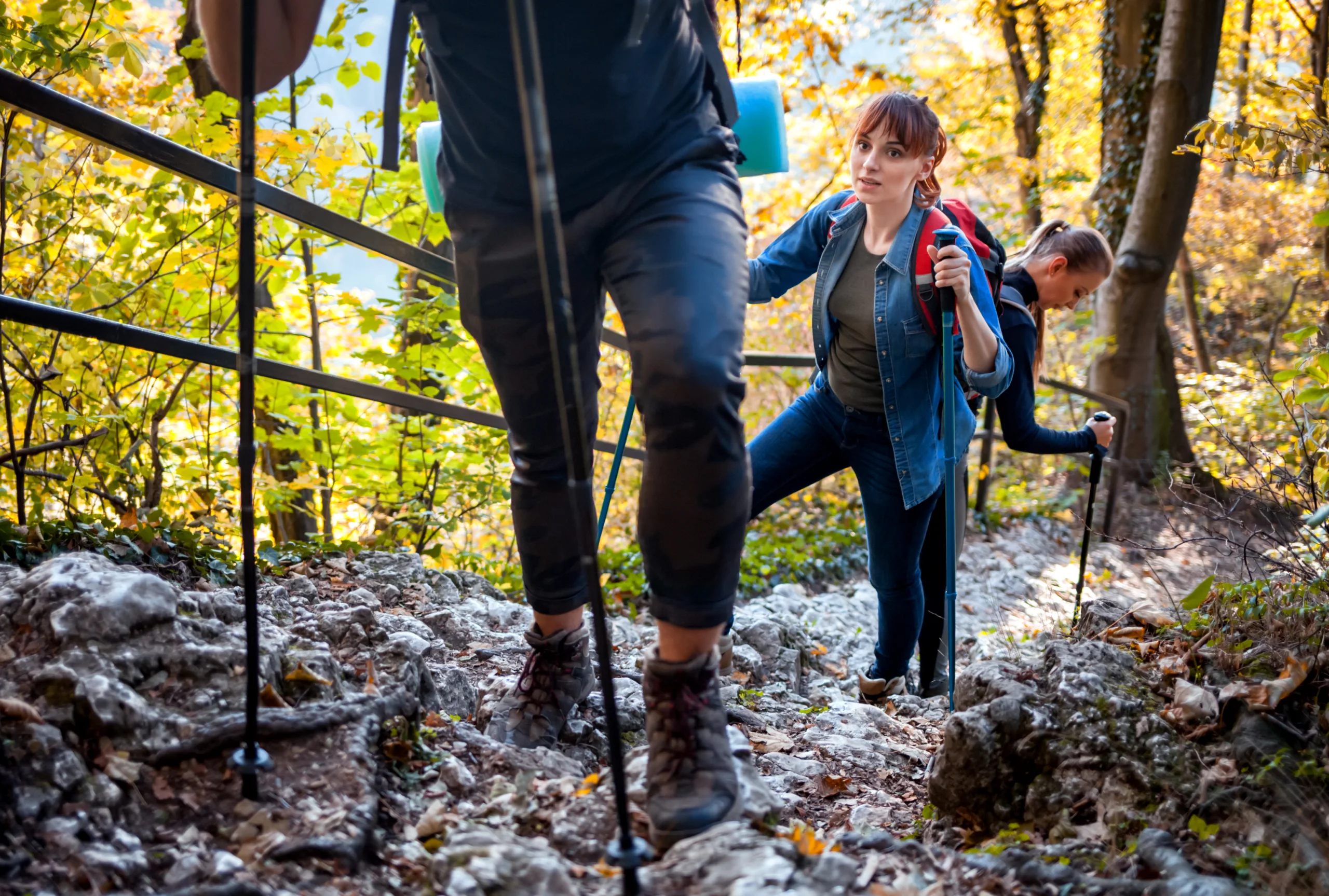
Nestled between rolling hills and suburban neighborhoods, East Whittier, CA offers some of the best hiking trails in Los Angeles County for outdoor enthusiasts of all levels. This scenic area provides convenient access to well-maintained paths, panoramic viewpoints, and peaceful natural escapes, all within a short drive of major urban centers. As you explore this guide to the top hikes in East Whittier, you will discover family-friendly routes, moderate treks for fitness-minded hikers, and more challenging climbs that reward you with sweeping vistas of the San Gabriel Valley. Moreover, these trails showcase diverse native vegetation, seasonal wildflowers, and opportunities for bird-watching, making them ideal for nature lovers and photographers alike. In the following sections, we will highlight the key features, difficulty levels, and must-see landmarks of each trail, helping you plan your next East Whittier hiking adventure with confidence.

Introduction
East Whittier, CA, is a hidden gem for outdoor enthusiasts seeking accessible and scenic hiking experiences in Los Angeles County. Nestled near the Puente Hills and Whittier Hills, this community offers a variety of trails featuring rolling hills, native chaparral, and panoramic city views. For hikers searching online for the best hiking trails in East Whittier, this guide highlights top-rated routes, key features, and practical tips to help you plan your next adventure.
Top Hiking Trails In East Whittier
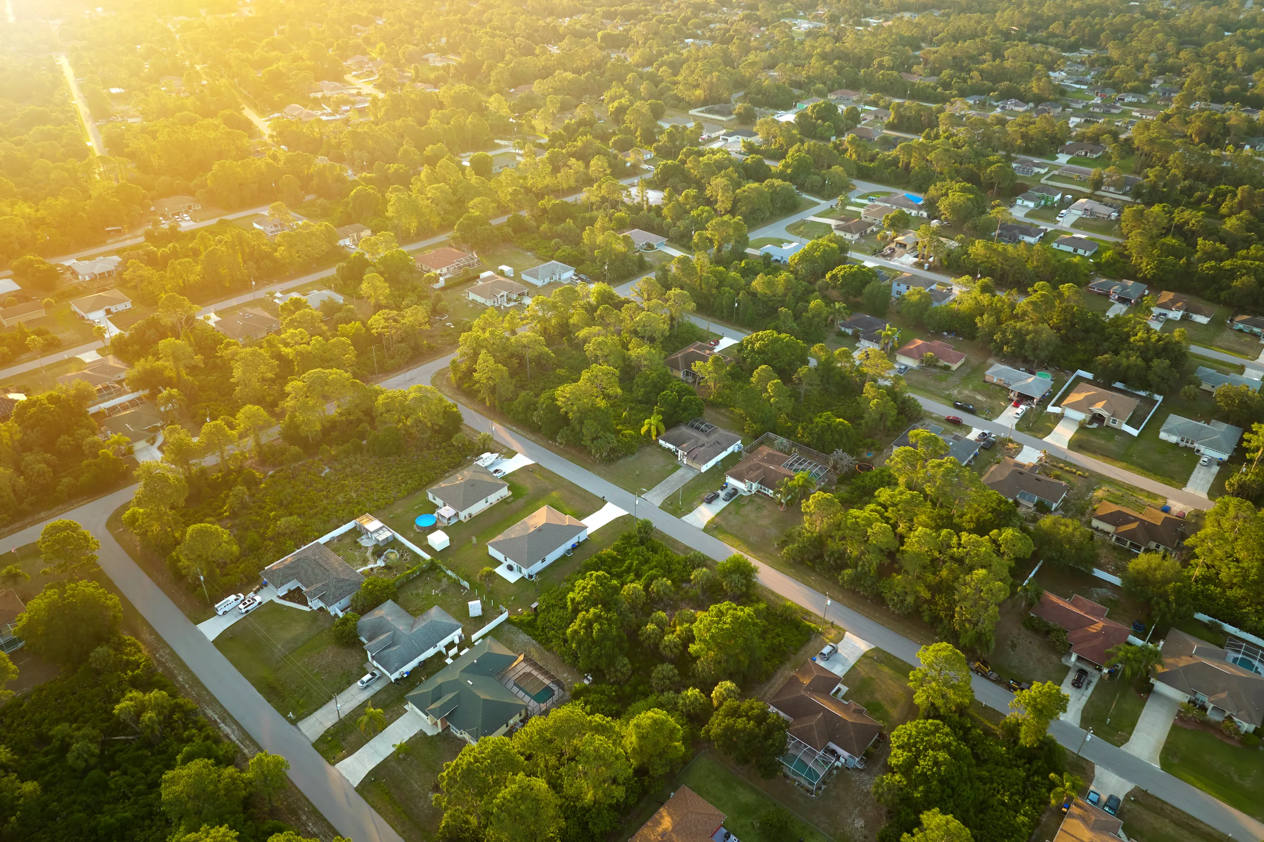
While East Whittier itself is primarily residential, it sits adjacent to some of the region’s most popular urban wilderness areas. As you explore, you will find trails suitable for beginners, families, and more experienced hikers looking for a moderate challenge.
Below is an overview of some of the best hiking trails near East Whittier, CA, all within a short drive of the neighborhood.
| Trail Name | Distance (Round Trip) | Difficulty | Main Features |
|---|---|---|---|
| Turnbull Canyon Trail | 4–5 miles | Moderate | City views, rolling hills, loop options |
| Skyline Drive Fire Road | 3–8 miles (out-and-back) | Moderate | Wide path, great vistas, biking friendly |
| Hellman Park Trail | 2.5–4 miles | Moderate | Steep climbs, ridge views, sunset spots |
| Arroyo Pescadero Trail | 2–3 miles | Easy–Moderate | Shaded sections, wildlife viewing, loops |
Featured Hiking Trails Near East Whittier
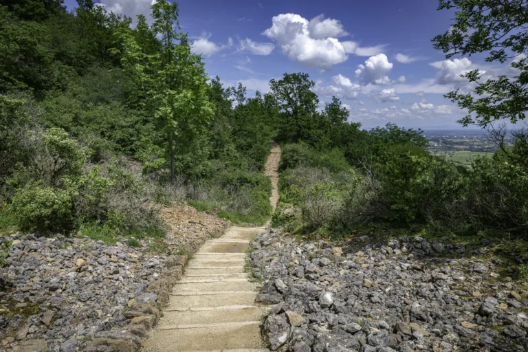
Turnbull Canyon Trail is often considered one of the premier hikes near East Whittier. Located in the scenic Puente Hills, it offers a network of interconnected paths, allowing you to customize your route. Gradual climbs lead to sweeping views of the San Gabriel Valley and downtown Los Angeles on clear days. Because of its popularity, it is wise to arrive early to secure parking and enjoy cooler morning temperatures.
Just a short drive away, Skyline Drive Fire Road provides a wide, well-graded route that is ideal for hikers, runners, and mountain bikers. This trail is perfect for those who prefer an open, spacious path over narrow single-track routes. As you ascend, you are rewarded with expansive views of East Whittier, the surrounding hills, and, in the distance, the San Gabriel Mountains. This versatility makes Skyline Drive a go-to option for both fitness workouts and leisurely weekend hikes.
For hikers seeking a more intense climb, Hellman Park Trail delivers a steep ascent right from the trailhead. Although the initial climb can be challenging, the ridge-top views and constant breezes make the effort worthwhile. This trail is especially popular for sunrise and sunset hikes, offering beautiful lighting over the hills and city below. Because much of the trail is exposed, carrying extra water and sun protection is essential.
Those in search of a shorter, family-friendly option will appreciate Arroyo Pescadero Trail. This loop-oriented trail system includes shaded segments, interpretive signs, and frequent opportunities to spot local birds and small wildlife. The gentle elevation changes and relatively smooth surface make it accessible for newer hikers and those looking for a relaxed nature walk close to East Whittier.
Hiking Tips And Safety In East Whittier
To fully enjoy the best hiking trails in East Whittier, CA, it is important to plan ahead. Always bring sufficient water, sun protection, and proper footwear, especially during the warmer months. Many trails have limited shade and limited access to facilities, so starting early in the day is recommended. Additionally, staying on marked paths helps protect fragile habitats and ensures your own safety.
Parking regulations can vary by trailhead, so check posted signs or official websites before your visit. Lastly, be mindful of local wildlife and other trail users, keeping dogs on leash where required and packing out all trash to preserve these beautiful open spaces for future visitors.
Conclusion
East Whittier’s proximity to the Puente and Whittier Hills makes it an excellent base for discovering some of Southern California’s most convenient urban hikes. From the panoramic views of Turnbull Canyon to the family-friendly paths of Arroyo Pescadero, there is a trail suited to nearly every skill level and interest. By choosing one of these top hiking trails near East Whittier, CA and following basic safety guidelines, you can enjoy rewarding outdoor experiences right next to this vibrant suburban community.
Finding the Best Hiking Trails in East Whittier, CA – Frequently Asked Questions
How can I find the best hiking trails near East Whittier, CA?
To find the best hiking trails near East Whittier, start by using reputable trail websites and apps that allow you to filter by distance, difficulty, elevation gain, and user ratings. Look specifically for trails in the Puente Hills, Whittier Hills, and Turnbull Canyon areas, as these are popular local hiking zones. Review recent trail reports to confirm current conditions, and check photos and maps to assess whether the terrain and scenery match what you are looking for. Local park websites and the Los Angeles County Parks and Recreation site also provide information on open space preserves and trail access points close to East Whittier.
What are some beginner-friendly hiking options around East Whittier?
Beginner-friendly hikes near East Whittier are typically found in the gentler sections of the Whittier Hills and nearby regional parks. Look for trails labeled “easy” with modest elevation gain and distances under 3–4 miles. Many local recreational trails offer wide, well-maintained paths that are suitable for new hikers and families. When reviewing trail descriptions, choose routes with clear signage, shade where possible, and established parking areas. If you are new to hiking, start with shorter out-and-back routes so you can turn around easily if the terrain feels too challenging.
How do I know if a trail in the East Whittier area is safe and open?
To confirm that a trail is safe and open, check the managing agency’s website, such as the local city, county, or parks district for the Whittier and Puente Hills areas. Many agencies post alerts about temporary closures due to weather, fire risk, or maintenance. Cross-check this information with recent reviews or trip reports on hiking platforms to see what other hikers have encountered in the last few days or weeks. Before you go, review a current map, note trailhead hours and parking regulations, and verify any seasonal restrictions. Once on the trail, follow posted signs, obey closure notices, and turn back if conditions seem unstable or beyond your comfort level.
What should I look for when choosing a hiking trail for views in East Whittier?
For scenic views in and around East Whittier, look for trails that climb into the surrounding hills and ridgelines, such as those in the Whittier and Puente Hills. In trail descriptions, seek out phrases like “scenic overlook,” “city views,” “ridge trail,” or “viewpoint.” Check elevation profiles and maps to identify routes with sustained climbs to high points, which often provide panoramic views of the San Gabriel Valley, downtown Los Angeles, and on clear days, distant mountain ranges. Reading user-submitted photos and comments can help you determine the best times of day for views, such as early morning or late afternoon for better light and lower haze.
What gear and preparation are recommended for hiking near East Whittier, CA?
When hiking near East Whittier, plan for warm, dry conditions in much of the year and limited shade on many hillside trails. Wear sturdy, closed-toe footwear with good traction, and bring at least one liter of water for short hikes, more for longer or hotter outings. Sun protection is essential, including sunscreen, a hat, and sunglasses. Carry a small daypack with a map or downloaded offline trail map, a basic first-aid kit, snacks, and a fully charged phone. Start early during hot months, check the weather and air quality, and let someone know your planned route and return time. Staying on marked trails and respecting local regulations helps protect both your safety and the area’s natural habitat.


latest video
news via inbox
Sign up to get local tips delivered to your inbox.

