Best Hiking Trails in Deer Valley, AZ
Best Hiking Trails In Deer Valley AZ
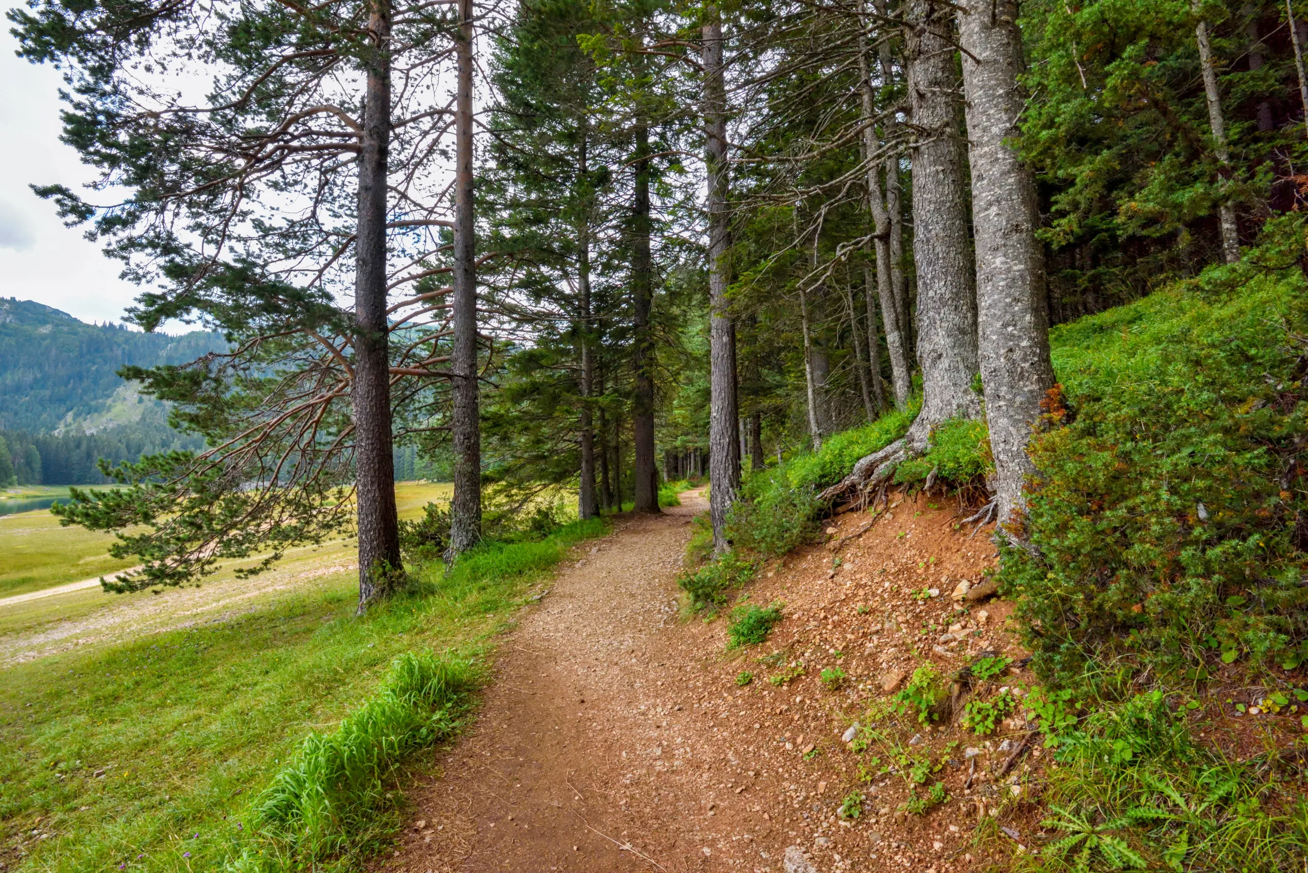
Nestled in North Phoenix, Deer Valley, AZ offers some of the best hiking trails for outdoor enthusiasts seeking scenic desert landscapes, diverse terrain, and convenient access. This guide introduces you to the top Deer Valley hiking routes, highlighting family-friendly paths, challenging climbs, and serene nature walks ideal for sunrise or sunset adventures. With its rugged Sonoran Desert setting, Deer Valley features well-maintained trails that showcase iconic saguaro cacti, panoramic mountain views, and abundant wildlife, making it a prime destination for hikers of all skill levels. Moreover, the area’s extensive trail network connects to nearby preserves, providing plenty of opportunities for longer excursions and trail running. As you explore the best hiking trails in Deer Valley, Arizona, you’ll discover why this region has become a favorite for locals and visitors looking to experience authentic desert hiking while staying close to the amenities of metropolitan Phoenix.

Introduction
Deer Valley, AZ, located in the northern part of Phoenix, offers some of the best hiking trails in the Sonoran Desert. With stunning mountain vistas, diverse desert flora, and well-maintained paths, this area is ideal for both beginners and seasoned hikers. In this guide, we will explore the top hiking trails in Deer Valley, highlight their key features, and provide practical tips to help you plan a safe and enjoyable outdoor adventure.
Deer Valley Hiking Highlights
Hiking in Deer Valley combines scenic beauty, accessibility, and variety. Many trails are just minutes from residential and shopping areas, yet they feel wonderfully remote. From rocky summit climbs to gentle desert walks, each trail offers a unique way to experience the Arizona landscape. To help you quickly compare your options, the table below summarizes the most popular Deer Valley hiking trails.
| Trail Name | Distance (Round-Trip) | Difficulty | Elevation Gain | Key Features |
|---|---|---|---|---|
| Deem Hills Circumference Trail | 5.0 miles | Moderate | ~650 feet | Panoramic views, loop route |
| Deem Hills Ridgeline Trail | 3.6 miles | Moderate–Challenging | ~800 feet | Rocky ridge, city skyline |
| Sonoran Desert Preserve Desert Vista Loop | 3.8 miles | Easy–Moderate | ~500 feet | Well-marked, family friendly |
| Apache Wash Loop | 6.0 miles | Moderate | ~400 feet | Wide trails, bike friendly |
Top Trails In Deer Valley AZ
Among the most popular Deer Valley hikes, the Deem Hills Circumference Trail stands out for its flowing loop around rugged volcanic hills. This moderate route offers changing scenery, from open desert basins to higher viewpoints overlooking North Phoenix. Because it is a loop, hikers can enjoy new views throughout the journey, making it ideal for regular training or weekend outings.
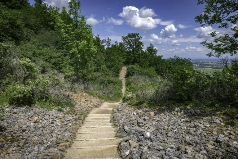
For those seeking a bit more challenge, the Deem Hills Ridgeline Trail climbs quickly to a rocky spine with expansive views. Although the distance is manageable, the steeper sections and uneven surfaces demand sturdy footwear and good conditioning. In return, hikers are rewarded with sunrise and sunset vistas that are perfect for photography and quiet reflection.
The nearby Sonoran Desert Preserve Desert Vista Loop offers a softer introduction to Deer Valley hiking. With smooth, well-marked paths and gradual elevation changes, this loop is excellent for families, visitors, and new hikers who want to experience saguaro-st\\udded landscapes without strenuous climbs. Interpretive signs and clear trail markers further enhance the experience.
For a longer outing, the Apache Wash Loop in the same preserve delivers a peaceful desert escape. This trail’s wider paths accommodate hikers, trail runners, and mountain bikers, making it a versatile choice. Gentle rolling terrain, distant mountain views, and abundant cacti create a classic Sonoran Desert atmosphere just minutes from Deer Valley neighborhoods.
Essential Hiking Tips
To fully enjoy these best hiking trails in Deer Valley AZ, preparation is crucial. Always carry plenty of water, wear sun protection, and avoid peak afternoon heat, especially in summer months. Additionally, use GPS or a trail map, stay on marked routes, and let someone know your expected return time. By following these simple steps, you can explore Deer Valley’s trails safely and confidently.
Conclusion
From the rolling paths of the Sonoran Desert Preserve to the rocky summits of Deem Hills, Deer Valley offers a rich variety of outdoor experiences. These top Deer Valley hiking trails provide accessible adventure, stunning desert scenery, and year-round opportunities for fitness and relaxation. As you plan your next Arizona hike, consider Deer Valley for its convenient location, diverse terrain, and unforgettable views.
Finding the Best Hiking Trails in Deer Valley, AZ
How can I find the best hiking trails in Deer Valley, AZ for my skill level?
Start by using reputable trail platforms such as AllTrails or Hiking Project and filter by difficulty (easy, moderate, hard), distance, and elevation gain in the Deer Valley or North Phoenix area. Read recent user reviews to learn about current trail conditions, crowd levels, and suitability for beginners or experienced hikers. You can also check the City of Phoenix Parks and Recreation website for official trail maps and descriptions of nearby preserves such as Deem Hills, Sonoran Preserve, and Thunderbird Conservation Park. Match trail stats to your fitness level and consider starting with shorter, well-marked trails, then progressing to longer or steeper options as you gain experience.
Which Deer Valley–area hiking trails are popular with locals?
Popular options near Deer Valley include the Deem Hills Recreation Area trails, which offer moderate climbs and scenic ridge views, and parts of the Phoenix Sonoran Preserve accessible from the North Phoenix area. Many locals also hike at Thunderbird Conservation Park in nearby Glendale for accessible loops and good training hikes. These areas offer multiple route options, so you can choose shorter out-and-back hikes or longer loops depending on your time and fitness. Checking trail maps at the trailhead or online in advance will help you select the segment that best fits your preferences.
When is the best time of day and year to hike in Deer Valley, AZ?
The ideal time to hike in Deer Valley is early in the morning, especially during the hotter months, to avoid extreme daytime temperatures and afternoon sun exposure. From late fall through early spring, daytime conditions are generally more comfortable, and you have a broader window for safe hiking. In summer and early fall, start at or before sunrise, choose shorter routes, and avoid hiking during heat advisories or monsoon storms. Always verify the forecast for high temperatures, strong winds, or lightning risks before heading out, as desert conditions can change quickly.
What safety tips should I follow when choosing a hiking trail in Deer Valley?
Choose trails that match your fitness and experience level by checking distance, elevation gain, and estimated completion time in advance. In the desert environment around Deer Valley, carry more water than you think you will need, wear sun protection, and avoid hiking alone on remote routes if you are unfamiliar with the area. Let someone know your planned trail and expected return time, and bring a fully charged phone, basic first-aid supplies, and a paper or offline map in case reception is poor. Stay on marked trails to reduce the risk of getting lost and to protect fragile desert habitat, and turn back if you feel unwell, the weather shifts, or the route feels beyond your capabilities.
How do I evaluate online reviews and maps to choose a Deer Valley hike?
When using online resources, focus on recent reviews that mention trail conditions, signage, shade, and parking availability near Deer Valley trailheads. Compare the trail’s rated difficulty with its elevation profile and distance to ensure it aligns with your comfort level. Look for uploaded photos and GPS tracks to understand terrain features such as rocky sections, steep inclines, or loose gravel. Cross-reference user-generated maps with official maps from Phoenix-area preserves or Maricopa County parks to confirm access points and closures, and consider saving an offline version of the map on your phone so you can navigate even if cell service is limited.


latest video

news via inbox
Sign up to get local tips delivered to your inbox.


