Best Hiking Trails in Chicago, IL
Best Hiking Trails In Chicago IL
Nestled along the shores of Lake Michigan, Chicago offers far more than urban skyscrapers and cultural attractions; it also boasts some of the best hiking trails in the Midwest. From scenic lakefront paths to tranquil forest preserves, the city and its surrounding suburbs provide diverse routes for every fitness level. These Chicago hiking trails combine natural beauty with convenient access, making them ideal for both locals and visitors seeking an outdoor escape.
As you explore this guide to the top hiking trails in Chicago IL, you will discover routes that highlight wetlands, prairies, and historic landscapes, all within a short drive of downtown. Moreover, many of these trails connect to larger greenway systems, allowing hikers to customize the length and difficulty of their adventures. With that in mind, the following sections will help you identify which trails best match your interests, time, and experience level.


Introduction
Chicago, IL, is widely known for its architecture and lakefront skyline, but it also offers an impressive network of hiking trails. From peaceful forested paths to expansive waterfront routes, the city and its surrounding areas provide excellent options for hikers of all levels. This guide highlights the best hiking trails in Chicago, helping you choose routes that match your interests, fitness level, and desire for scenic views.
Best Urban Hiking Trails In Chicago
For those who prefer to stay close to downtown, Chicago’s urban trails combine accessibility with stunning scenery. The Chicago Lakefront Trail is a 18‑mile paved path stretching from Edgewater to South Shore. Along the way, hikers enjoy panoramic views of Lake Michigan, iconic city landmarks, and easy access to beaches and parks. It is ideal for beginners, families, and visitors looking for a quintessential Chicago hiking experience.
Another popular choice is the 606 Bloomingdale Trail, a 2.7‑mile elevated greenway built on a former rail line. This trail connects several Northwest Side neighborhoods and features art installations, landscaping, and multiple access points. The 606 is perfect for short, scenic hikes and offers a unique perspective on Chicago’s urban landscape.
| Trail | Distance | Difficulty | Main Highlights |
|---|---|---|---|
| Chicago Lakefront Trail | 18 miles | Easy | Lake Michigan views, beaches, city skyline |
| 606 Bloomingdale Trail | 2.7 miles | Easy | Elevated path, public art, neighborhood access |
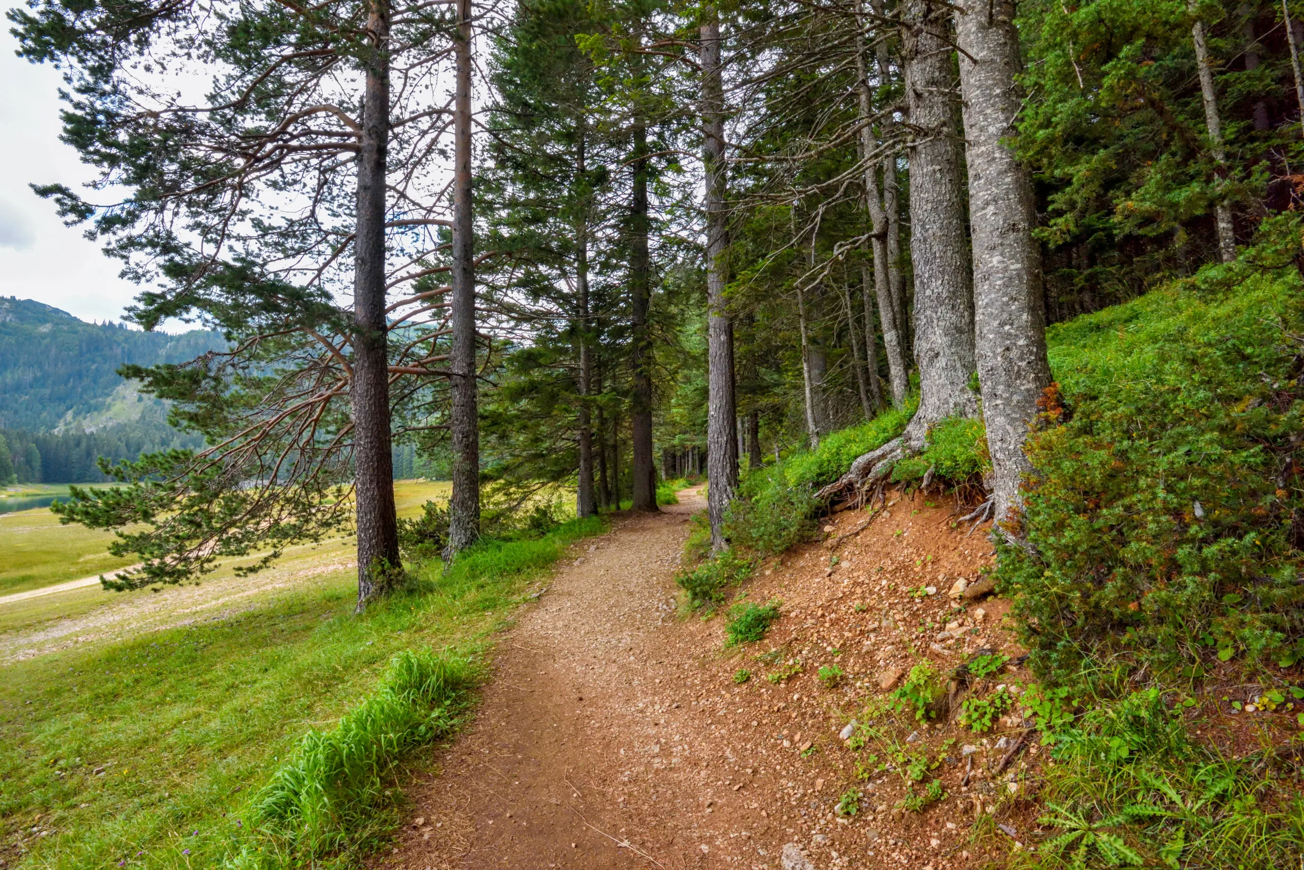
Forest Preserves And Nature Trails Near Chicago
Moving beyond the urban core, the Forest Preserves of Cook County offer hundreds of miles of trails for hikers seeking a more natural environment. One of the most popular destinations is the Palos Trail System in the southwestern suburbs. With over 25 miles of interconnected paths, Palos features rolling hills, dense woodlands, ponds, and ravines, making it a favorite for intermediate and advanced hikers.
Closer to the North Side, the North Branch Trail follows the North Branch of the Chicago River, leading from Gompers Park to the Chicago Botanic Garden in Glencoe. This mostly paved trail offers a mix of river views, open meadows, and forested sections, creating a scenic and flexible route for both short and long hikes.
| Trail System | Approx Distance | Difficulty | Notable Features |
|---|---|---|---|
| Palos Trail System | 25+ miles | Moderate | Hills, forests, lakes, varied terrain |
| North Branch Trail | 20+ miles | Easy to Moderate | River views, access to Chicago Botanic Garden |
Tips For Enjoying Chicago Hiking Trails
To make the most of the best hiking trails in Chicago, it is important to plan ahead. Wear comfortable walking shoes, check weather and trail conditions, and carry water, especially when hiking along the Lakefront Trail where exposure to sun and wind can be significant. Additionally, consider visiting during early morning or late afternoon hours for fewer crowds and more comfortable temperatures.
Parking regulations can vary by location, so review local signage or public transit options before you go. Many of Chicago’s top trails, including the 606 and Lakefront Trail, are easily accessible via the CTA, making them convenient choices for car‑free hikers.
Conclusion
From elevated greenways to tranquil forest preserves, Chicago, IL, offers diverse hiking trails suitable for every type of outdoor enthusiast. Whether you are seeking skyline views along Lake Michigan or quiet wooded paths in the Palos Trail System, you will find rewarding routes within the city and its surrounding areas. By exploring these highlighted trails and planning thoughtfully, you can enjoy some of the most scenic and memorable hikes that Chicago has to offer.
Finding the Best Hiking Trails in Chicago, IL
Where can I find the best beginner-friendly hiking trails in Chicago?
What are some of the top scenic hiking spots near Chicago?
How can I check trail conditions and closures before hiking in the Chicago area?
What should I consider when choosing a Chicago-area trail based on difficulty?
Are there public transportation options to reach hiking trails from downtown Chicago?


latest video

news via inbox
Sign up to get local tips delivered to your inbox.

