Best Hiking Trails in Charter Oak, CA
Best Hiking Trails In Charter Oak CA
Nestled in the heart of the San Gabriel Valley, **Charter Oak, CA offers access to some of the best hiking trails in Southern California**, attracting both locals and visitors seeking outdoor adventure. This guide explores the **top hiking routes near Charter Oak**, highlighting scenic viewpoints, family-friendly paths, and more challenging treks for experienced hikers. With convenient proximity to the **San Gabriel Mountains**, these trails provide an ideal escape from city life while remaining easily accessible. From sunrise walks to weekend fitness hikes, Charter Oak’s surrounding landscape delivers a variety of terrain, including shaded canyons, rolling foothills, and panoramic ridgelines. As you read on, you will discover which **Charter Oak hiking trails** best match your skill level, time frame, and scenic preferences, helping you plan your next outing with confidence. Ultimately, this introduction sets the stage for a detailed overview of the area’s most rewarding outdoor experiences.
Introduction
Charter Oak, CA, nestled between Covina and Glendora in the San Gabriel Valley, offers convenient access to some of the best hiking trails in Los Angeles County. While Charter Oak itself is primarily residential, it sits just minutes from scenic foothill paths and urban greenways that appeal to both casual walkers and dedicated hikers. This guide highlights the top nearby hiking options, helping you plan your next outdoor adventure while boosting your understanding of the region’s natural beauty.
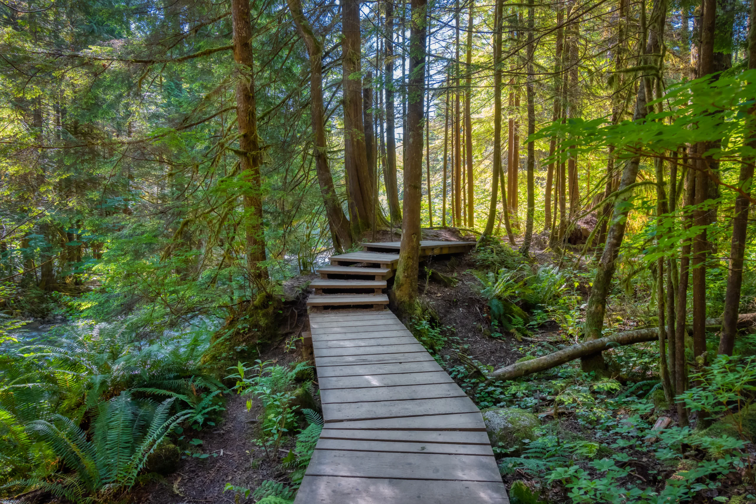
Bonelli Regional Park Trails
Located a short drive east of Charter Oak, Frank G. Bonelli Regional Park in San Dimas is a favorite for families and fitness enthusiasts. Surrounding Puddingstone Lake, its network of trails offers views of the water, rolling hills, and diverse wildlife. The terrain ranges from wide, graded paths to narrower dirt trails, making it ideal for both beginners and intermediate hikers.
One highlight is the loop trail circling much of the lake, which provides scenic vistas and plenty of shade in certain sections. In addition to hiking, Bonelli Park supports biking, horseback riding, and birdwatching, allowing visitors to customize their outdoor experience. Because of its proximity to Charter Oak, this area is one of the most convenient choices for a quick weekday hike or a longer weekend outing.
| Trail | Approx Distance | Difficulty | Key Features |
|---|---|---|---|
| Bonelli Lake Loop | 7–8 miles | Moderate | Lake views, rolling hills, mixed surfaces |
| Shady Canyon Routes | 2–4 miles | Easy–Moderate | Partial shade, wildlife viewing, lake access |
| Equestrian & Fire Roads | 3–6 miles | Moderate | Wide paths, great for fitness hikes |
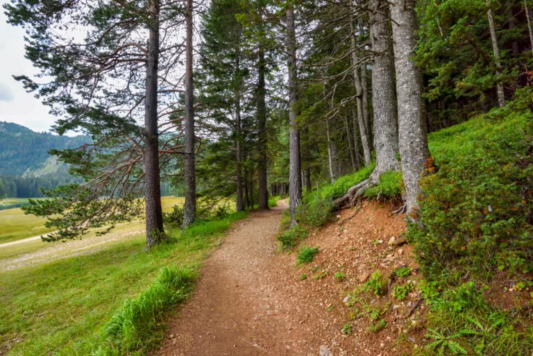
San Dimas And Via Verde Area Trails
To the east and southeast of Charter Oak, the San Dimas and Via Verde corridor offers hilly routes with rewarding views of the San Gabriel Mountains and the valley below. These trails tend to be less crowded than some of the larger regional parks, providing a more peaceful atmosphere for those seeking solitude on the trail.
Typical hikes begin from neighborhood trailheads and quickly ascend into open hillsides. The terrain is predominantly exposed, so it is essential to bring sun protection and plenty of water. However, the tradeoff is excellent visibility, especially at sunrise or late afternoon. These routes are perfect for local residents who want a brisk workout close to home without driving deep into the mountains.
| Trail Area | Approx Distance | Difficulty | Highlights |
|---|---|---|---|
| Via Verde Ridge Trails | 2–5 miles | Moderate | Valley vistas, rolling ridgelines |
| San Dimas Foothill Paths | 1.5–4 miles | Easy–Moderate | Quick after-work hikes, local access |
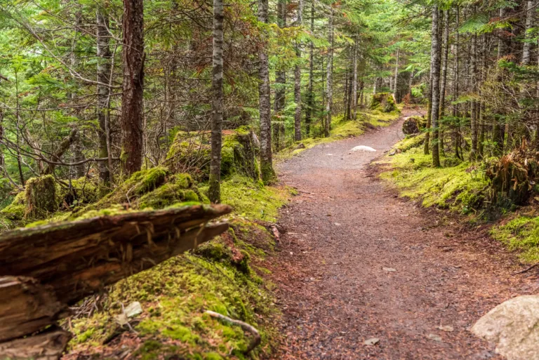
Nearby San Gabriel Mountain Foothill Trails
For hikers looking for a more immersive wilderness feel, the San Gabriel Mountain foothills north of Charter Oak deliver. Within a 15–25 minute drive, you can reach trailheads in Glendora and Azusa that lead into canyons and higher ridges. These trails typically feature steeper elevation gains, stream crossings in season, and more varied terrain.
From Glendora foothill routes to Azusa canyon paths, hikers gain access to cooler temperatures, dense chaparral, and panoramic overlooks. Because these areas are more rugged, proper footwear, navigation tools, and awareness of weather conditions are essential. In return, you will experience some of the most scenic landscapes within easy reach of Charter Oak.
| Area | Drive Time From Charter Oak | Typical Hike Length | Experience Level |
|---|---|---|---|
| Glendora Foothills | 10–15 minutes | 3–7 miles | Beginner–Intermediate |
| Azusa Canyon Access | 15–25 minutes | 4–10 miles | Intermediate |
Tips For Hiking Near Charter Oak
To make the most of the best hiking trails near Charter Oak, planning ahead is crucial. Start by checking weather forecasts and local park websites for closures or fire restrictions. Many trails in the region can be hot and exposed, so pack at least one liter of water per hour of planned hiking, along with a hat, sunscreen, and light layers.
Parking regulations vary by location, with some trailheads requiring county or regional park fees. When in doubt, arrive early to secure a safe, legal parking spot. Additionally, follow Leave No Trace principles by packing out all trash, staying on established paths, and respecting local wildlife. These practices help preserve the natural environment and maintain high-quality outdoor experiences for future visitors.
Conclusion
Charter Oak, CA may be a compact community, but it sits at the gateway to an impressive selection of hiking trails, regional parks, and foothill adventures. From the lakeside paths at Bonelli Regional Park to the rolling ridges of Via Verde and the rugged San Gabriel Mountain foothills, hikers of all levels can find a route that matches their goals. By exploring these nearby destinations and preparing properly, you will enjoy safe, scenic, and rewarding hikes just minutes from Charter Oak. Whether you are training for longer treks or simply seeking a relaxing nature walk, the area’s trail network offers something for everyone.
Finding the Best Hiking Trails in Charter Oak, CA
Where can I find beginner-friendly hiking trails near Charter Oak, CA?
For beginner-friendly hikes near Charter Oak, CA, start by looking at nearby regional parks and nature areas such as Bonelli Regional Park in San Dimas, Walnut Creek Community Regional Park, and the foothill trails leading toward the San Gabriel Mountains. These areas typically have well-marked, relatively short routes with modest elevation gain, making them ideal for new or casual hikers. You can find specific trail suggestions and maps on platforms like AllTrails and Hiking Project by filtering for “easy” difficulty and short distance within a 10–15 mile radius of Charter Oak. Reviewing recent trail reviews will also help you confirm current conditions and whether the terrain matches your comfort level.
How do I choose the best hiking trail for my fitness level around Charter Oak?
To choose a suitable trail near Charter Oak, start by checking three key factors: distance, total elevation gain, and surface conditions. Shorter hikes under 4 miles round-trip with less than 600–800 feet of elevation gain are generally appropriate for most moderately active hikers. Review topographic profiles and trail descriptions on reputable hiking apps or county park websites, paying attention to notes about steep sections, loose rock, or narrow paths. Compare these details with your usual level of activity—if you comfortably walk several miles on flat ground, you can gradually add distance and elevation. Finally, always read a few of the most recent user reviews, as they often highlight whether a trail feels harder than the numbers suggest due to heat, exposure, or maintenance issues.
What online resources can help me discover top-rated trails near Charter Oak, CA?
Several online tools specialize in cataloging and rating trails near Charter Oak and the surrounding San Gabriel Valley. Websites and apps such as AllTrails, Gaia GPS, Hiking Project, and local county park portals allow you to search by location and filter by difficulty, distance, elevation gain, and user ratings. On these platforms, you can view photos, route maps, parking directions, and recent trail reports, which are especially helpful for assessing seasonal conditions like heat, mud, or overgrowth. In addition, local hiking and outdoor groups on social media often share personal recommendations and lesser-known routes, giving you insight into which nearby trails are most scenic, safe, and well-maintained at any given time.
When is the best time of year and day to hike in Charter Oak and nearby areas?
The most comfortable seasons for hiking around Charter Oak are typically late fall through spring, when temperatures are cooler and visibility tends to be better. During the warm summer months, many local trails can be exposed with limited shade, so early morning is generally the safest and most pleasant time to start your hike. Aim to be on the trail shortly after sunrise, especially on routes that climb into the foothills toward the San Gabriel Mountains. Always check local weather forecasts and air quality advisories, and avoid hiking during extreme heat, strong wind events, or periods of poor visibility due to smoke or smog. Planning for cooler hours and milder seasons will help you enjoy nearby trails more safely and comfortably.
What safety and access considerations should I keep in mind when hiking near Charter Oak, CA?
When hiking in and around Charter Oak, always confirm trailhead access, parking rules, and any required permits or passes before you go; some nearby areas may require a day-use fee or an Adventure Pass. Carry sufficient water, sun protection, and appropriate footwear, as many local routes can be hot, dry, and dusty. Let someone know your planned route and expected return time, and bring a fully charged phone along with an offline map, since cell service can be unreliable in the foothills. Check for posted notices about fire danger, wildlife activity, and trail closures at the trailhead or on park websites. Finally, follow Leave No Trace principles by staying on marked paths, packing out all trash, and respecting private property boundaries near residential areas close to Charter Oak.


latest video
news via inbox
Sign up to get local tips delivered to your inbox.


