Best Hiking Trails in Calabasas, CA
Best Hiking Trails In Calabasas CA
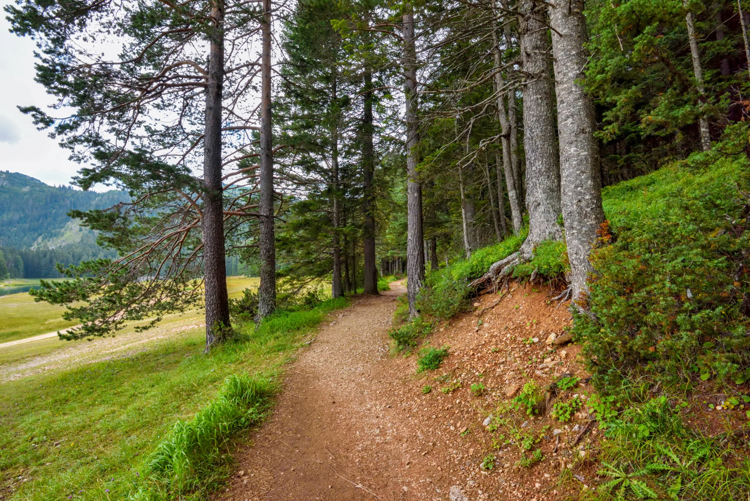
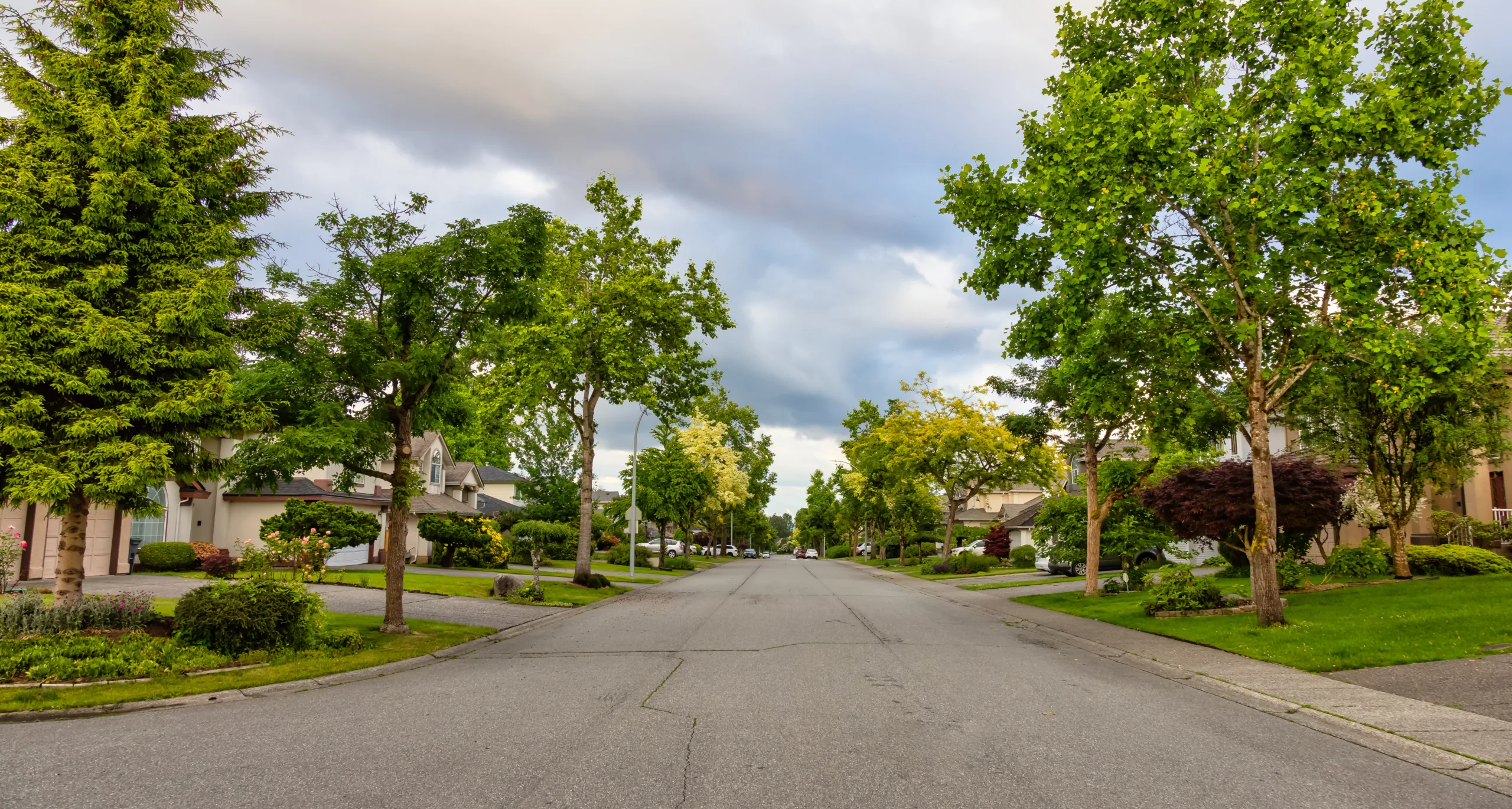
Nestled along the scenic foothills of the Santa Monica Mountains, Calabasas, CA offers some of the best hiking trails in Southern California for outdoor enthusiasts of all skill levels. From gently winding paths with panoramic valley views to more challenging climbs that reward you with sweeping vistas of the Pacific coastline, this region is a true haven for nature lovers. In addition, Calabasas hiking trails are renowned for their well-maintained routes, diverse wildlife, and seasonal wildflower displays, making them ideal for both casual walkers and dedicated trekkers. Whether you are planning a quick morning workout or a full-day adventure, these trails provide a refreshing escape from city life. As we explore the top-rated routes, you will discover which Calabasas hikes best match your interests, fitness level, and desire for breathtaking scenery, helping you plan your next unforgettable outdoor experience.
Introduction
Calabasas, CA, nestled in the scenic foothills of the Santa Monica Mountains, offers some of the most rewarding hiking experiences in Southern California. With a mix of family-friendly paths, challenging climbs, and panoramic viewpoints, the best hiking trails in Calabasas attract outdoor enthusiasts year-round. This guide highlights top-rated routes, trail features, and practical tips to help you plan your next hiking adventure in Calabasas.
Top Hiking Trails In Calabasas
From serene oak-st\\udded canyons to sweeping ridge lines, Calabasas trails provide diverse terrain and unforgettable vistas. To help you compare options quickly, the following table summarizes essential details about some of the most popular hiking trails in Calabasas, CA.
| Trail Name | Distance (Round-Trip) | Difficulty | Main Highlights |
|---|---|---|---|
| Calabasas Stairs & Calabasas Peak | 3–4 miles | Moderate–Strenuous | Steep workout, summit views, sunrise/sunset spots |
| Las Virgenes Canyon Trail | 4–7 miles | Easy–Moderate | Wide fire road, rolling hills, seasonal wildflowers |
| Juan Bautista De Anza Park Trails | 1–3 miles | Easy | Family-friendly loops, picnic areas, restrooms |
| Malibu Creek State Park (Nearby) | 3–8+ miles | Easy–Moderate | Rock pools, filming locations, dramatic canyon scenery |
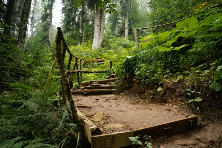
Calabasas Peak And The Calabasas Stairs
For hikers seeking both cardio and scenery, Calabasas Peak via the Calabasas Stairs is a standout choice. The route begins with a steep stair section that delivers an intense workout before easing into fire roads and single-track paths leading toward the summit. As you ascend, expansive views of the Santa Monica Mountains and San Fernando Valley unfold, making this trail ideal for photography, sunrise hikes, and clear-day vistas.
Because of the elevation gain, this trail is best suited to those with moderate fitness. However, you can turn around at any point, making it a flexible option for shorter outings. Be sure to bring ample water, especially in warmer months, and consider starting early to avoid midday heat.
Las Virgenes Canyon And Rolling Hills
Another excellent option is the Las Virgenes Canyon Trail, which features gentle grades and wide paths perfect for walking, running, or biking. This trail offers a more relaxed experience than Calabasas Peak, with rolling hills, open grasslands, and seasonal wildflowers that create a picturesque backdrop. It is particularly appealing to beginners and families who want a scenic hike without intense climbs.
Wildlife sightings are common, including birds of prey, rabbits, and occasionally deer. To protect the area’s natural habitat, remember to stay on marked trails and follow Leave No Trace principles throughout your visit.
Family Friendly Trails Near Juan Bautista De Anza Park
For those hiking with children or looking for a shorter stroll, the trails surrounding Juan Bautista De Anza Park provide convenient and accessible options. These loops connect directly from the park, which offers amenities such as restrooms, playgrounds, and shaded picnic tables. As a result, this area is ideal for introducing younger hikers to the outdoors in a comfortable, well-serviced environment.
Trails here are generally well-marked, with modest elevation changes and clear sightlines, contributing to a safe and enjoyable family outing. You can easily combine a short hike with a picnic or playtime, creating a full day of activities in one location.
Tips For Hiking In Calabasas
To fully enjoy the best hiking trails in Calabasas, preparation is essential. Temperatures can rise quickly, so carrying sufficient water, wearing sun protection, and choosing breathable clothing are key. Additionally, many trails are multi-use, so remain alert for mountain bikers and equestrians, and always yield appropriately.
Parking availability and fees vary by location, particularly in nearby Malibu Creek State Park. Therefore, it is wise to check current regulations, posted hours, and any seasonal advisories before your trip. Planning ahead ensures a smoother, more enjoyable hiking experience.
Conclusion
From the challenging ascent of Calabasas Peak to the gentle beauty of Las Virgenes Canyon and the family-friendly routes near De Anza Park, Calabasas delivers an impressive range of outdoor options. By selecting trails that match your fitness level and interests, you can experience the area’s sweeping vistas, rich wildlife, and peaceful landscapes firsthand. In short, the hiking trails in Calabasas, CA offer something for everyone, making this community a premier destination for nature lovers and adventure seekers alike.
Finding the Best Hiking Trails in Calabasas, CA
How can I find the best hiking trails in Calabasas for my experience level?
Start by using reputable trail platforms such as AllTrails or Hiking Project and filtering by difficulty level, distance, and elevation gain. Read recent reviews to see current trail conditions and whether routes are suitable for beginners, intermediate, or advanced hikers. In Calabasas, many trails are part of the Santa Monica Mountains system, so the National Park Service and California State Parks websites also provide reliable maps and descriptions. Cross-reference trail length, grade, and surface type with your fitness level, and consider starting with well-known, popular routes before exploring lesser-used paths.
What are some popular hiking areas in and around Calabasas?
Popular hiking areas near Calabasas include the Santa Monica Mountains National Recreation Area, where you will find multiple trailheads off Mulholland Highway and Las Virgenes Road. Malibu Creek State Park, just southwest of Calabasas, offers scenic canyon trails, rock formations, and creek crossings. The Backbone Trail, which stretches across the Santa Monica Mountains, has several access points near Calabasas that provide both short out-and-back hikes and longer point-to-point options. Additionally, local open space preserves managed by the Santa Monica Mountains Conservancy and the Mountains Recreation and Conservation Authority offer signed trails with established parking areas.
When is the best time of year to hike in Calabasas?
The best time to hike in Calabasas is typically from late fall through spring, when temperatures are cooler and visibility is clearer. From November through April, you are more likely to encounter green hillsides, seasonal wildflowers, and more comfortable daytime temperatures. Summer can be very hot and dry, so if you do hike between June and September, plan early morning or late afternoon outings and choose shorter, shadier trails where possible. Always check the weather forecast, especially during periods of high heat or strong winds, and follow any posted fire or trail closure notices.
What should I consider regarding safety when hiking trails in Calabasas?
Safety planning for Calabasas hikes should include checking trail conditions, weather forecasts, and park advisories before you go. Carry sufficient water, sun protection, and sturdy footwear, as many local trails are exposed and can be rocky or uneven. Wildlife such as rattlesnakes, coyotes, and occasionally mountain lions may be present, so stay on marked paths, avoid hiking alone at dawn or dusk, and keep a safe distance from all animals. Inform someone of your route and expected return time, carry a fully charged phone, and download offline maps in case of limited cell service. Respect posted signs and closures to avoid unstable terrain or high fire-risk areas.
How can visitors access trail maps and parking information for Calabasas hikes?
Visitors can obtain trail maps and parking details from several sources. Online platforms like AllTrails often list trailhead coordinates, parking lot locations, and user-submitted photos of signage and entrances. Official agencies such as the National Park Service, California State Parks, and local conservancies provide downloadable maps on their websites, including information on designated parking areas, fees, and any restrictions. When you arrive at the trailhead, look for information boards displaying route maps, distances, and regulations. It is wise to verify whether parking requires a day-use fee or specific pass, and to arrive early on weekends and holidays when lots near Calabasas can fill quickly.

latest video

news via inbox
Sign up to get local tips delivered to your inbox.


