Best Hiking Trails in Brentwood, CA
Best Hiking Trails In Brentwood CA
Brentwood, CA offers some of the best hiking trails in Contra Costa County, attracting outdoor enthusiasts with its rolling hills, scenic vistas, and mild Mediterranean climate. Nestled at the edge of the East Bay, this growing community provides easy access to diverse landscapes, from oak-st\\udded ridges to peaceful creekside paths. For visitors and locals alike, Brentwood hiking trails deliver the perfect blend of recreation, nature, and fitness. Whether you are a beginner looking for a leisurely walk or an experienced hiker seeking a more challenging route, the area’s well-maintained trail network offers something for every skill level. As you explore this guide, you will discover which trails provide the best views, family-friendly options, and pet-friendly routes, helping you plan your next outdoor adventure in Brentwood, California. Before diving into specific trail recommendations, it’s important to understand what makes these local gems truly stand out.

Introduction
For outdoor enthusiasts seeking scenic adventures in Contra Costa County, the best hiking trails in Brentwood, CA offer a perfect blend of rolling hills, panoramic views, and family friendly paths. Located on the edge of the East Bay and the California Delta, Brentwood’s trail network provides excellent options for beginners and seasoned hikers alike. From golden grasslands to lush creekside routes, these hikes deliver memorable experiences while remaining easily accessible from town.
Why Hike In Brentwood CA
Brentwood, CA is ideally positioned for hikers who want open space without driving deep into the Sierra or coastal ranges. The city is surrounded by preserved parklands and regional trails that feature year round hiking opportunities. Spring brings wildflowers and green hills, while fall and winter often deliver cooler, clearer days with far reaching views of Mount Diablo and the Sacramento–San Joaquin Delta. Furthermore, most trails are well marked and feature ample parking, making them convenient for day trips and weekend outings.
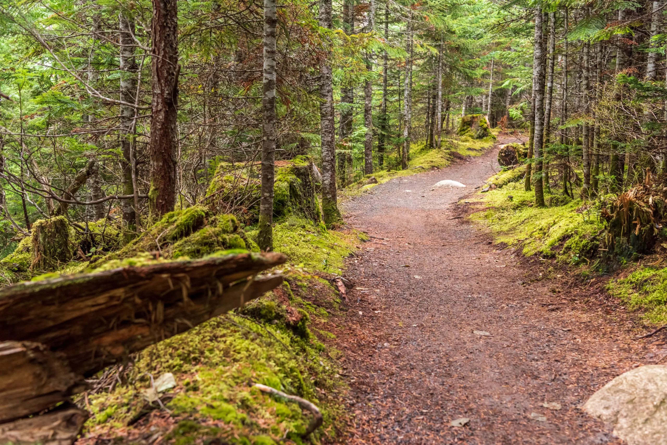
Top Hiking Trails In Brentwood CA
Several standout locations consistently rank among the best hiking trails in Brentwood. These parks and preserves combine scenic beauty, varied difficulty levels, and family friendly amenities.
One of the most popular spots is the Marsh Creek Regional Trail, a mostly flat, paved and gravel path that follows Marsh Creek through Brentwood and neighboring communities. Ideal for walking, jogging, and biking, this trail is perfect for families, beginners, and anyone seeking an easy nature escape close to town.
For hikers searching for more elevation and sweeping vistas, Round Valley Regional Preserve stands out. Located just east of Brentwood, this preserve features wide, well maintained dirt trails that wind through oak woodlands and grass covered hills. With moderate elevation gain, Round Valley offers a rewarding workout and excellent wildlife viewing opportunities.
Another favorite is Vasco Caves Regional Preserve, known for its unique rock formations, cultural sites, and rare species habitat. Access is typically through guided tours, but the hikes here are unforgettable, blending natural history, archaeology, and striking landscapes.
Trail Comparison Table
| Trail | Approx Distance | Difficulty | Main Features |
|---|---|---|---|
| Marsh Creek Regional Trail | Up to 7+ miles (out and back options) | Easy | Creekside views, mostly flat, paved and gravel, family friendly |
| Round Valley Regional Preserve | 3–9 miles (loop options) | Easy to Moderate | Rolling hills, oak woodlands, wildlife viewing, scenic vistas |
| Vasco Caves Regional Preserve | 2–4 miles (guided routes) | Moderate | Rock formations, cultural sites, rare species habitat, guided access |
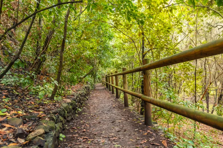
Tips For Hiking In Brentwood CA
Because many of the best hiking trails in Brentwood, CA traverse open grasslands, temperatures can climb quickly in warmer months. To stay comfortable, plan your hikes for early morning or late afternoon, especially in summer. Always carry sufficient water, sun protection, and a hat, as shade may be limited on ridge and valley routes.
Parking lots at popular trailheads can fill up fast on weekends, so arriving early helps ensure a smooth start. Checking park websites or local trail apps before you go can provide up to date information on closures, seasonal restrictions, and any special access requirements, particularly for sensitive areas like Vasco Caves Regional Preserve.
Conclusion
The best hiking trails in Brentwood, CA showcase the region’s natural beauty, from peaceful creeks and open valleys to dramatic rock formations and distant mountain views. Whether you are planning a casual family walk along Marsh Creek, a fitness focused loop through Round Valley, or a guided trek into Vasco Caves, Brentwood offers diverse options that cater to every level of hiker. By choosing the right trail, preparing for the conditions, and respecting local regulations, you can fully enjoy everything this East Bay community has to offer on foot.
Finding the Best Hiking Trails in Brentwood, CA
How can I find the best hiking trails near Brentwood, CA?
To find the best hiking trails near Brentwood, CA, start by using reputable trail platforms such as AllTrails, Hiking Project, and local park district websites. These resources usually provide trail maps, difficulty ratings, distance, elevation gain, and user reviews with recent photos. You can also visit the East Bay Regional Park District website to see nearby parks and open spaces with official trail information. In addition, ask for recommendations at local outdoor gear shops or community centers, where staff and residents often know lesser-known but excellent routes. Always cross-check trail conditions and closures before heading out, especially during hot weather or after heavy rain.
What are some popular hiking areas around Brentwood, CA?
Popular hiking areas around Brentwood, CA include Mount Diablo State Park, Round Valley Regional Preserve, and Morgan Territory Regional Preserve. Mount Diablo offers a wide range of trails from moderate to strenuous, with panoramic views of the Bay Area on clear days. Round Valley Regional Preserve, closer to Brentwood, features rolling hills, grasslands, and oak woodlands, with several loop options suitable for intermediate hikers. Morgan Territory Regional Preserve provides more remote-feeling routes, scenic ridgelines, and access to longer, more challenging hikes. These areas are all within a reasonable driving distance and are managed by well-established park agencies that maintain maps and trail information online.
How do I choose a hiking trail that matches my fitness level?
To choose a trail that matches your fitness level, begin by reviewing the listed distance, total elevation gain, and estimated time to complete the hike. Shorter trails with minimal elevation gain are better for beginners or those returning to activity after a break. Moderate hikers can look for routes in the 4 to 7 mile range with rolling hills, such as some of the loops at Round Valley or the gentler routes around the base of Mount Diablo. Advanced hikers may prefer longer distances and steeper climbs, like ascending to higher viewpoints in Mount Diablo State Park. Pay attention to trail surface, shade, and seasonal temperature extremes, and read recent user reviews to confirm whether the trail conditions align with your comfort level and experience.
What should I consider regarding safety when hiking in Brentwood, CA?
When hiking in and around Brentwood, CA, safety considerations include weather, hydration, navigation, and wildlife awareness. The region can become very hot and dry, particularly in late spring through fall, so plan hikes for early morning or late afternoon during heat waves and carry more water than you think you will need. Study the route in advance, download offline maps if available, and stay on marked trails to avoid getting lost or trespassing on private property. Inform someone of your plans and expected return time. Wear appropriate footwear to minimize the risk of slips and ankle injuries, and watch for rattlesnakes, ticks, and poison oak along the trail. Check official park websites or posted notices at trailheads for fire danger levels, temporary closures, or special advisories before you start your hike.
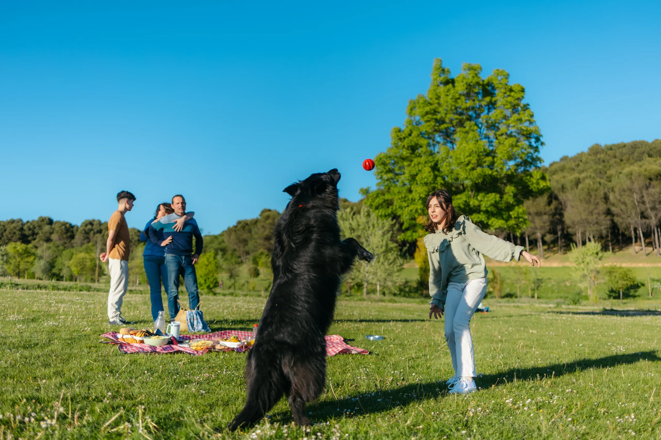
Are there family-friendly or beginner hiking options near Brentwood, CA?
Yes, there are several family-friendly and beginner hiking options near Brentwood, CA. Many of the lower-elevation trails at Round Valley Regional Preserve offer relatively gentle grades and shorter loop options that are suitable for children and new hikers. Some nearby city and county parks also feature paved or well-graded dirt paths that are appropriate for strollers and casual walks, allowing families to enjoy nature without committing to a strenuous route. When selecting a family-friendly hike, look for routes under 3 miles with limited elevation gain, access to shade, and clearly marked trails. Always check parking, restroom availability, and any park-specific rules, such as dog regulations or seasonal restrictions, to ensure a comfortable and well-prepared outing for all ages.

latest video
news via inbox
Sign up to get local tips delivered to your inbox.


