Best Hiking Trails in Boston, MA
Best Hiking Trails In Boston Ma
Exploring the best hiking trails in Boston, MA, offers a unique blend of urban accessibility and natural beauty, making the city a standout destination for outdoor enthusiasts. From the scenic shores of the Charles River to the wooded paths of the Emerald Necklace and nearby Blue Hills Reservation, Boston’s trail network provides options for every skill level. In this guide, you will discover top-rated Boston hiking trails that feature stunning views, historical landmarks, and convenient access by public transportation. Moreover, whether you are a local resident seeking a quick weekend escape or a visitor planning an active itinerary, these routes will help you experience New England’s landscapes without venturing far from the city. As you continue reading, you will learn where to find the best hiking near Boston, what to expect on each trail, and how to prepare for a safe and enjoyable adventure.
Introduction
Boston, MA, may be known for its rich history and academic institutions, but it is also home to some of the best hiking trails in New England. From harbor views and wooded hills to urban greenways, Boston offers a surprising variety of outdoor escapes within city limits or just a short drive away. This guide highlights the top hiking trails in Boston to help you plan your next adventure while also optimizing for those searching for the best hiking experiences near Boston.
Top Hiking Trails In Boston
When exploring the best hiking trails in Boston, several destinations consistently stand out for their scenic views, accessibility, and overall trail quality. The following table provides a quick comparison to help you choose the right hike based on difficulty, distance, and key features.
| Trail | Location | Difficulty | Distance (Approx) | Highlights |
|---|---|---|---|---|
| Blue Hills Reservation | Milton, MA (South of Boston) | Moderate to Challenging | 125+ miles of trails | City skyline views, rugged terrain |
| Middlesex Fells Reservation | Medford, MA (North of Boston) | Easy to Moderate | 100+ miles of trails | Lakes, ledges, forested paths |
| Charles River Reservation | Boston & Cambridge, MA | Easy | Up to 20 miles | Riverside paths, skyline views |
| Arnold Arboretum | Jamaica Plain, Boston, MA | Easy | 7+ miles of paths | Curated landscapes, seasonal blooms |
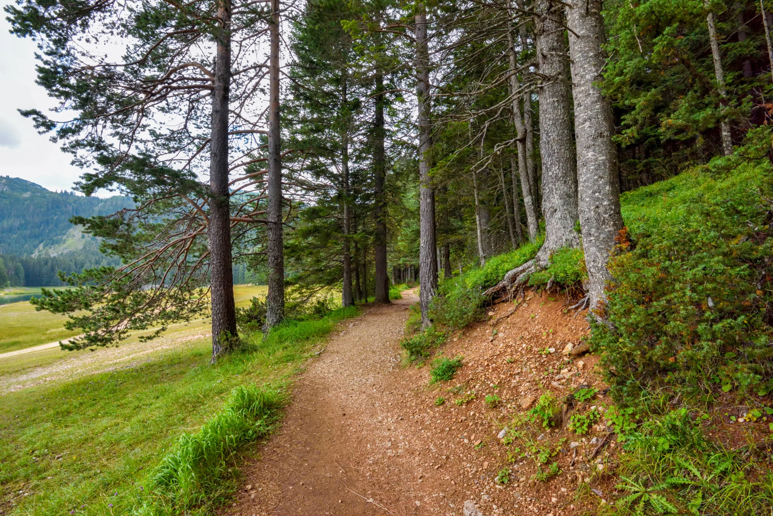
Blue Hills Reservation
Blue Hills Reservation is often considered the best hiking area near Boston for challenging terrain and expansive views. Located just south of the city, this 7,000-acre park features rocky paths, steep climbs, and panoramic vistas from summits like Great Blue Hill. The famous Skyline Trail rewards hikers with sweeping views of the Boston skyline, making it an excellent destination for those seeking a strenuous workout combined with memorable scenery.
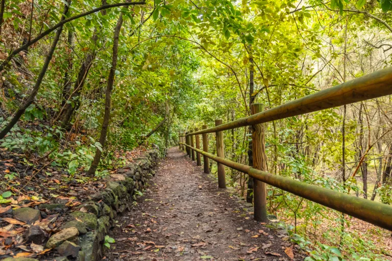
Middlesex Fells Reservation
To the north of Boston, Middlesex Fells Reservation offers an extensive network of trails that cater to both casual walkers and more experienced hikers. The popular Skyline Trail loop includes gentle climbs and scenic ledges overlooking nearby reservoirs. With its mix of forest, water views, and well-marked routes, this area is ideal for families and those looking for moderate hiking trails close to Boston that still feel wild and secluded.
Charles River Reservation
For a more urban hiking experience, the Charles River Reservation provides miles of paved and unpaved paths along the iconic Charles River. While primarily known for running and cycling, these riverside routes also serve as accessible, low-impact hiking options. As you follow the river’s edge, you will enjoy unobstructed views of the Boston and Cambridge skylines, as well as convenient access to public transportation, making it a practical choice for visitors and locals alike.
Arnold Arboretum
The Arnold Arboretum of Harvard University, located in the Jamaica Plain neighborhood, offers a unique blend of botanical beauty and gentle hiking. Its rolling hills, curated plant collections, and quiet pathways make it one of the best easy hiking destinations in Boston. Seasonal highlights, including spring blossoms and autumn foliage, ensure that every visit feels distinct, while the well-maintained trails are suitable for all fitness levels.
Conclusion
From rugged hilltop climbs to serene riverside walks, Boston offers an impressive variety of hiking experiences within and just beyond its urban core. By exploring Blue Hills Reservation, Middlesex Fells, the Charles River Reservation, and the Arnold Arboretum, you can discover some of the top hiking trails in Boston, MA that combine natural beauty with convenient access. Whether you are a seasoned hiker or a beginner looking for a scenic stroll, these destinations provide the perfect starting point for enjoying the outdoors in and around Boston.
Finding the Best Hiking Trails in Boston, MA
What are some of the best hiking areas in or near Boston, MA for a variety of skill levels?
How can I find hiking trails in Boston that match my fitness level and time available?
Are there scenic hiking trails in Boston accessible by public transportation?
What should I look for when choosing a safe hiking trail around Boston, especially in changing weather?
Where can I find official maps and regulations for hiking trails in the Boston area?


latest video
news via inbox
Sign up to get local tips delivered to your inbox.

