
Best Hiking Trails in Baldwin Park, CA
Best Hiking Trails In Baldwin Park CA
Nestled in the heart of the San Gabriel Valley, Baldwin Park, CA offers convenient access to some of the best hiking trails in Los Angeles County, making it an appealing destination for outdoor enthusiasts. From family-friendly paths to more challenging routes, the area provides a variety of options that highlight Southern California’s natural beauty. As you explore the region, you’ll discover scenic vistas, peaceful creekside walks, and well-maintained urban greenbelts that cater to hikers of all experience levels.
In the sections that follow, we will highlight the top hiking trails near Baldwin Park, focusing on trail difficulty, key features, and nearby amenities to help you plan your next adventure. Whether you are seeking a quick afternoon walk or a longer weekend trek, these local trails offer a refreshing escape from city life while still being easily accessible from major freeways and public transit routes.
Introduction
Baldwin Park, CA, offers a surprising variety of scenic hiking options for outdoor enthusiasts seeking convenient trails close to the city. Nestled in the San Gabriel Valley, this community provides access to greenbelts, river paths, and nearby foothills that are perfect for family walks, fitness hikes, and nature photography. In this guide, you will discover the best hiking trails in Baldwin Park, along with helpful tips to plan your next outdoor adventure.
Walnut Creek Nature Park Trail
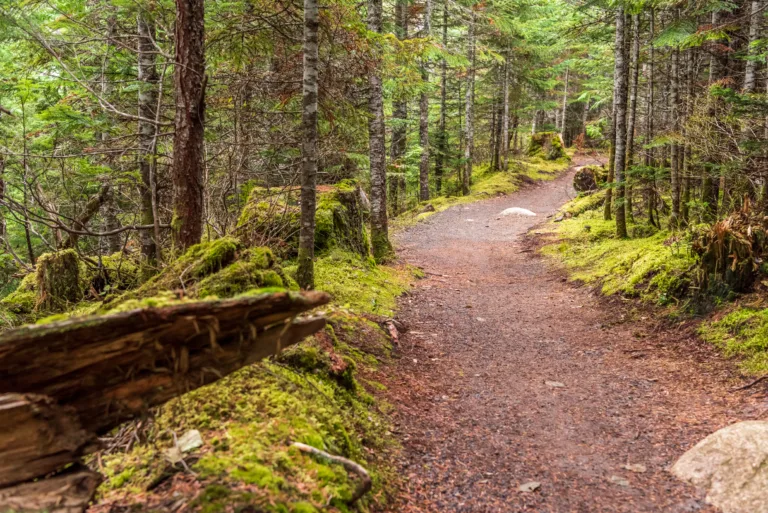
One of the most popular spots for hiking in Baldwin Park is the Walnut Creek Nature Park Trail. This easy, family-friendly route winds through a pleasant green space with shaded areas, open lawns, and creek views. The wide path is ideal for beginners, joggers, and walkers with strollers, making it a versatile choice for all fitness levels. Because the terrain is relatively flat, Walnut Creek Nature Park is an excellent option for a quick, relaxing escape into nature without leaving the city.
Santa Fe Dam Recreation Area Access
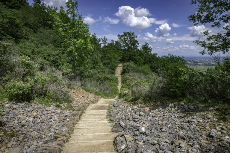
Although technically located just outside Baldwin Park, the Santa Fe Dam Recreation Area is a short drive away and widely used by residents. This area features scenic multi-use trails, mountain backdrops, and access to the San Gabriel River Bike Trail. Hikers can enjoy long, uninterrupted paths that are perfect for endurance training or peaceful sunrise walks. With views of the San Gabriel Mountains and a large lake, the Santa Fe Dam trails offer one of the most scenic hiking experiences near Baldwin Park.
San Gabriel River Trail Connection
For those seeking a longer route, the connection to the San Gabriel River Trail provides many miles of paved and dirt paths that run along the riverbed. This trail attracts cyclists, runners, and power walkers, but it is also a great choice for hikers looking to log more distance. As you move along the river, you will notice changing landscapes, wildlife sightings, and occasional rest areas. Because of its length and connectivity, the San Gabriel River Trail is a key asset for Baldwin Park residents interested in fitness and exploration.
Trail Comparison Table
| Trail Name | Difficulty | Approximate Length | Main Features |
|---|---|---|---|
| Walnut Creek Nature Park Trail | Easy | 1–2 miles | Shaded areas, creek views, family-friendly |
| Santa Fe Dam Recreation Area Trails | Easy–Moderate | Up to 5+ miles | Mountain views, lake, multi-use paths |
| San Gabriel River Trail Connection | Moderate | Multiple access points | Long-distance route, river scenery, fitness-focused |
Tips For Hiking In Baldwin Park
To make the most of the top hiking trails in Baldwin Park, plan your visit during early morning or late afternoon, especially in warmer months. Temperatures can rise quickly, so bring plenty of water, sunscreen, and a hat. Additionally, comfortable walking shoes with good traction will help you handle both paved and natural surfaces. Many local trails are multi-use, so stay aware of cyclists and joggers, and follow posted rules to keep the environment clean and safe for everyone.
Conclusion
Baldwin Park, CA, may be known for its urban convenience, but it also delivers rewarding outdoor experiences through its local trails and nearby recreation areas. From the gentle Walnut Creek Nature Park Trail to the expansive San Gabriel River Trail, there is a route to match every skill level and interest. By exploring these best hiking trails in Baldwin Park, residents and visitors alike can enjoy fresh air, scenic views, and a healthier lifestyle right in the heart of the San Gabriel Valley.
Finding the Best Hiking Trails in Baldwin Park, CA
How can I find beginner-friendly hiking trails near Baldwin Park, CA?
What online tools are best for researching hiking trails around Baldwin Park?
How do I judge whether a hiking trail near Baldwin Park is suitable for my fitness level?
What safety factors should I consider when choosing a hiking trail near Baldwin Park?
Are there family-friendly or dog-friendly hiking options close to Baldwin Park?

latest video
news via inbox
Sign up to get local tips delivered to your inbox.


