Best Hiking Trails in Bakersfield, CA
Best Hiking Trails In Bakersfield CA
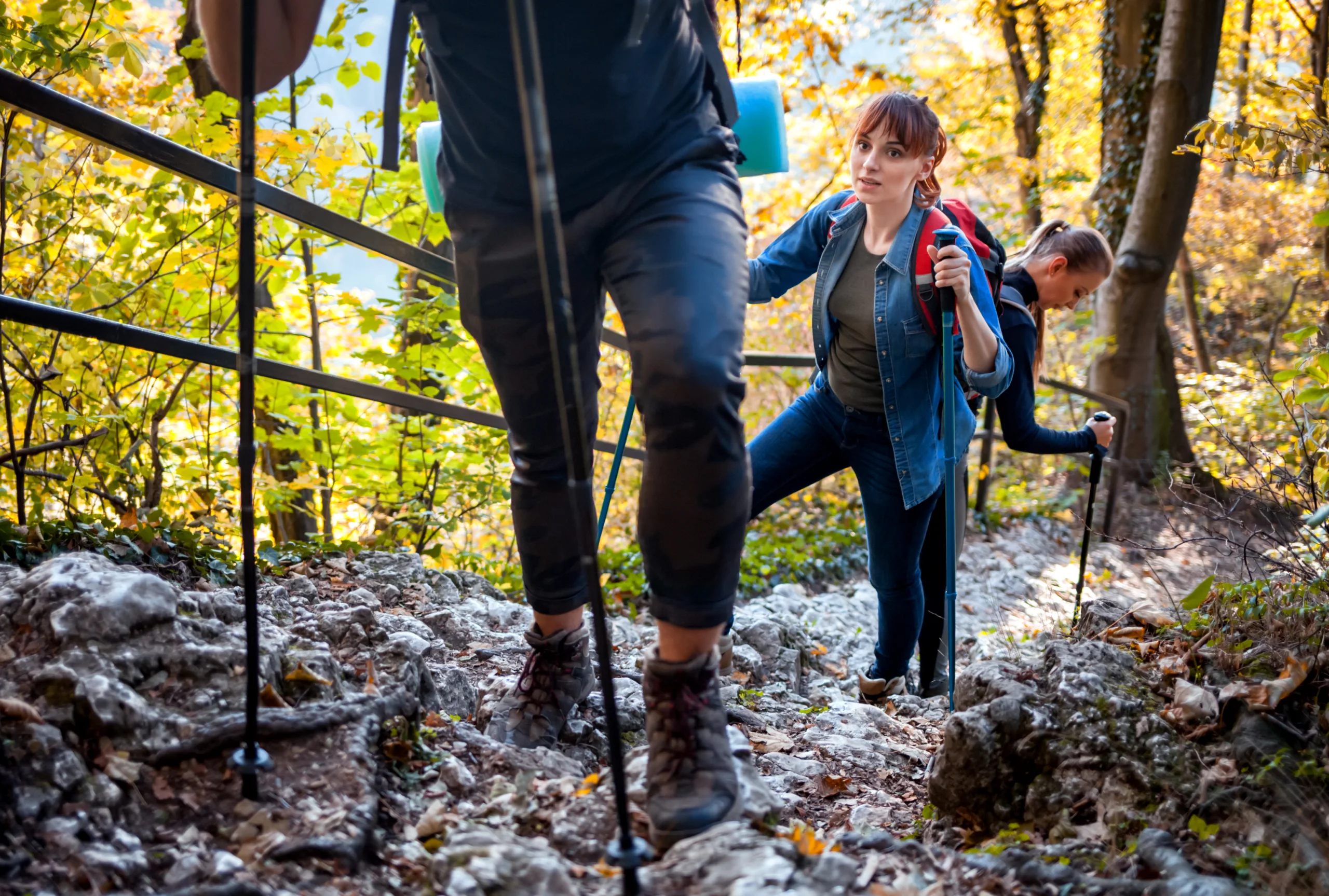
Bakersfield, California offers a surprising variety of scenic outdoor escapes, making it an increasingly popular destination for nature enthusiasts seeking the best hiking trails in Bakersfield CA. From rolling foothills to riverfront pathways, the region’s diverse terrain provides options for every skill level. As you explore these trails, you’ll discover expansive views of the Kern River Valley, seasonal wildflower displays, and peaceful routes ideal for both quick outings and day-long adventures. Moreover, Bakersfield’s typically sunny climate allows hikers to enjoy the outdoors for much of the year, further enhancing its appeal. Whether you are a local looking to uncover new favorite routes or a visitor planning an active getaway, understanding the top-rated Bakersfield hiking trails will help you make the most of your time on the path. In the following sections, we will highlight key trail features, difficulty levels, and tips for a safe, rewarding hiking experience.

Introduction
Bakersfield, CA may be best known for its agricultural roots and country music heritage, but it is also a gateway to some of the best hiking trails in Central California. With close proximity to the Sierra Nevada foothills, the Kern River, and scenic preserves, Bakersfield offers a variety of outdoor experiences for hikers of all levels. From family-friendly nature walks to more challenging climbs, these local trails provide stunning views, wildlife encounters, and year-round accessibility.
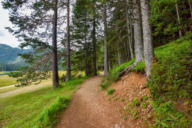
Panorama Vista Preserve
One of the most popular places to hike in Bakersfield is the Panorama Vista Preserve. Located just east of downtown, this network of dirt paths runs along the bluffs above the Kern River. The trails are generally flat to gently rolling, making them ideal for beginners, runners, and dog walkers. As you traverse the preserve, you can enjoy panoramic views of the river corridor, lush riparian vegetation, and seasonal wildflowers. Because it is close to the city, this spot is perfect for a quick morning or after-work hike.
Kern River Parkway Trail
For those who prefer a longer, more continuous route, the Kern River Parkway Trail is a standout choice. This multi-use paved trail stretches for miles along the Kern River, linking parks, picnic areas, and natural open spaces. Hikers can choose short sections for a leisurely stroll or tackle extended distances for a serious workout. The path offers a safe, accessible environment with scenic river views and opportunities to spot birds and other wildlife. Furthermore, its central location makes it convenient for both locals and visitors.
Wind Wolves Preserve
Located about 30–45 minutes south of Bakersfield, Wind Wolves Preserve is one of the largest nonprofit nature preserves on the West Coast and a must-visit destination for hikers. Here, you will find a variety of trails ranging from easy grassland walks to moderate canyon treks. The San Emigdio Canyon Trail, in particular, showcases seasonal streams, oak woodlands, and dramatic valley vistas. During spring, the preserve often explodes with wildflowers, creating a truly memorable hiking experience and excellent photo opportunities.
Best Bakersfield Hiking Trails At A Glance
To help you compare your options, the table below summarizes some of the top hiking trails in and around Bakersfield.
| Trail | Location | Difficulty | Approx. Distance | Main Highlights |
|---|---|---|---|---|
| Panorama Vista Preserve | East Bakersfield | Easy | 2–5 miles (various loops) | River views, wildlife, close to downtown |
| Kern River Parkway Trail | Along Kern River, through Bakersfield | Easy to Moderate | Up to 20+ miles (segment-based) | Paved path, parks access, cycling and walking |
| Wind Wolves Preserve | South of Bakersfield | Easy to Moderate | 1–10+ miles (multiple routes) | Wildflowers, canyons, expansive vistas |
Tips For Hiking In Bakersfield
Because Bakersfield’s climate can be very warm, especially in summer, it is crucial to plan your hikes carefully. Start early in the morning or closer to sunset, carry plenty of water, and wear sun protection such as a hat, sunglasses, and sunscreen. Many local trails have limited shade, so lightweight, breathable clothing is essential. Additionally, always stay on marked paths and respect wildlife and private property boundaries. Checking trail conditions and preserve hours in advance will help ensure a safe and enjoyable outing.
Conclusion
From the river bluffs of Panorama Vista to the sweeping landscapes of Wind Wolves Preserve, Bakersfield, CA offers an impressive selection of scenic hiking trails for outdoor enthusiasts. Whether you are a local resident seeking a regular fitness route or a traveler looking to explore the natural side of Kern County, these trails deliver rewarding views, accessible terrain, and memorable experiences. By choosing the right trail for your skill level and preparing for the Central Valley’s weather, you can fully enjoy the best that Bakersfield hiking has to offer.
Finding the Best Hiking Trails in Bakersfield, CA
What are some of the best beginner-friendly hiking trails in Bakersfield?
Where can I find scenic hikes with good views near Bakersfield?
How can I research and choose the right hiking trail in Bakersfield for my skill level?
What is the best time of year and day to hike in Bakersfield?
What safety tips should I follow when hiking trails in and around Bakersfield?


latest video
news via inbox
Sign up to get local tips delivered to your inbox.


