
Best Hiking Trails in Agoura Hills, CA
Best Hiking Trails In Agoura Hills CA
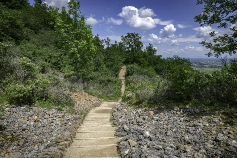
Agoura Hills, CA offers some of the best hiking trails in Southern California, drawing outdoor enthusiasts with its scenic canyons, rolling hills, and panoramic mountain vistas. Nestled along the edge of the Santa Monica Mountains, this vibrant community provides convenient access to well-maintained, family-friendly trails as well as more challenging routes for experienced hikers. From sunrise treks with ocean views to shaded paths winding through oak woodlands, Agoura Hills delivers a diverse range of hiking experiences. Moreover, many trails connect to larger regional networks, allowing visitors to customize their adventures and explore beyond the city limits. As you discover the top-rated hiking trails in Agoura Hills, you will find options ideal for fitness, photography, wildlife viewing, and peaceful nature escapes. In the following sections, we will highlight the standout routes that make Agoura Hills a premier destination for hiking enthusiasts of all levels.
Introduction
Located at the gateway to the Santa Monica Mountains, Agoura Hills, CA offers some of the best hiking trails in Southern California. With rolling hills, scenic canyons, and ocean-view ridges, this area is a premier destination for outdoor enthusiasts. Whether you are planning a family-friendly stroll or a challenging workout, the best hiking trails in Agoura Hills provide diverse terrain, rich wildlife, and stunning vistas. The following guide highlights top-rated hikes and essential details to help you plan your next adventure.
Cheeseboro Canyon Trail
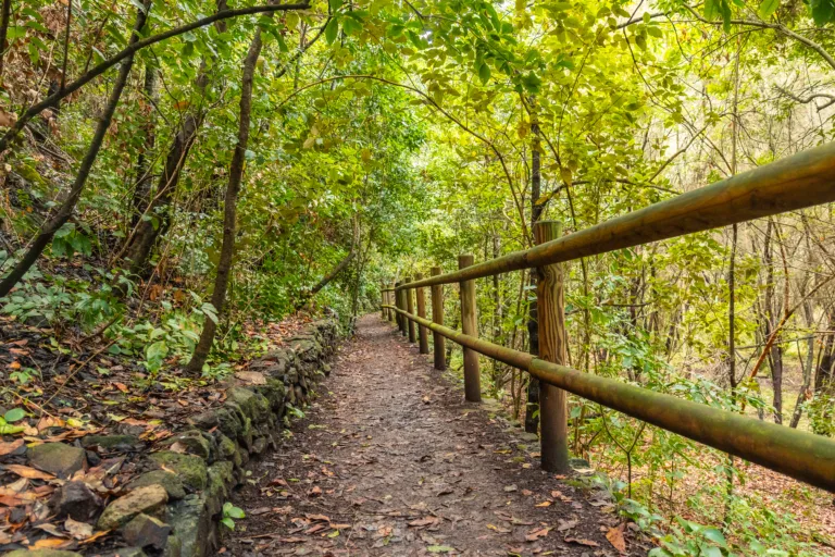
The Cheeseboro Canyon Trail is one of the most popular hikes near Agoura Hills, known for its gentle grades and wide fire roads. This trail is ideal for beginners, trail runners, and mountain bikers. As you move through the canyon, you will pass through shaded oak groves, open grasslands, and seasonal creek crossings. Because the elevation gain is moderate, this route is perfect for hikers seeking a scenic yet manageable outing.
| Trail Feature | Details |
|---|---|
| Difficulty | Easy to Moderate |
| Distance | 3–8 miles (out-and-back or loop options) |
| Highlights | Oak woodlands, rolling meadows, wildlife viewing |
| Best For | Families, beginners, trail running |
Malibu Creek State Park Trails
Just minutes from Agoura Hills, Malibu Creek State Park features some of the region’s most iconic hiking routes. The main Malibu Creek Trail follows the creek through a dramatic canyon, leading to volcanic rock formations, swimming holes, and historic film locations. With interconnecting paths such as the Crags Road and Rock Pool Trails, hikers can customize their distance while enjoying sweeping mountain views.
| Trail | Difficulty | Distance | Key Attractions |
|---|---|---|---|
| Malibu Creek Trail | Moderate | 4–7 miles | Creekside views, rock pools, film locations |
| Crags Road | Moderate | 5 miles round-trip | Scenic canyon, volcanic cliffs |
Paramount Ranch And Western Town Trails
The Paramount Ranch area blends natural beauty with Hollywood history. Easy, well-marked trails loop around the old Western Town set, oak-dotted hills, and open fields. This network is perfect for casual hikers, photographers, and families looking for a relaxed outdoor experience. Interpretive signs along the way highlight the area’s cinematic legacy and native ecosystems, creating a rich, educational hike.
Ladyface Mountain Trail
For hikers seeking a more strenuous challenge, Ladyface Mountain offers steep climbs, rocky sections, and panoramic views of Agoura Hills, Malibu Canyon, and the distant Pacific Ocean. This unofficial, rugged route is best suited for experienced hikers who are comfortable with loose terrain and exposed ridgelines. However, the rewarding summit vistas make it one of the most memorable hikes in the area.
| Aspect | Details |
|---|---|
| Difficulty | Challenging |
| Distance | 2.5–3 miles round-trip |
| Elevation Gain | Approx. 1,200 feet |
| Best For | Experienced hikers seeking summit views |
Conclusion
From gentle canyon walks to demanding summit scrambles, the best hiking trails in Agoura Hills, CA cater to every level of outdoor explorer. By choosing routes such as Cheeseboro Canyon, Malibu Creek State Park, Paramount Ranch, or Ladyface Mountain, you can experience the full diversity of the Santa Monica Mountains. For the safest and most enjoyable trip, always check weather conditions, bring adequate water, and start early during warmer months. With proper planning, your next hike in Agoura Hills can deliver unforgettable scenery, fresh air, and a deeper connection to Southern California’s natural beauty.
Finding the Best Hiking Trails in Agoura Hills, CA
How can I find the best hiking trails in Agoura Hills for my skill level?
What are some popular scenic hiking areas in and around Agoura Hills?
When is the best time of year to hike in Agoura Hills?
What safety considerations should I keep in mind when hiking in Agoura Hills?
Where can I park and access trailheads for hiking near Agoura Hills?


news via inbox
Sign up to get local tips delivered to your inbox.

