Best Hiking Trails in Williamson, TX
Best Hiking Trails In Williamson TX
Williamson, Texas offers some of the best hiking trails in Central Texas, attracting outdoor enthusiasts with its scenic landscapes, diverse terrain, and family-friendly paths. From peaceful creekside walks to more challenging hilltop routes, this region provides an ideal setting for both casual walkers and seasoned hikers seeking new adventures. Exploring the top hiking trails in Williamson, TX allows visitors to experience native wildlife, panoramic views, and well-maintained paths that highlight the area’s natural beauty.
As you plan your next outdoor excursion, you will discover trails that feature shaded oak groves, limestone bluffs, and open prairie vistas, offering something for every preference and fitness level. Moreover, many of these trails connect to local parks and recreation areas, creating convenient options for day trips and weekend outings. In the following sections, we will guide you through the best hiking trails in Williamson, Texas to help you choose your next memorable trek.

Best Hiking Trails In Williamson TX
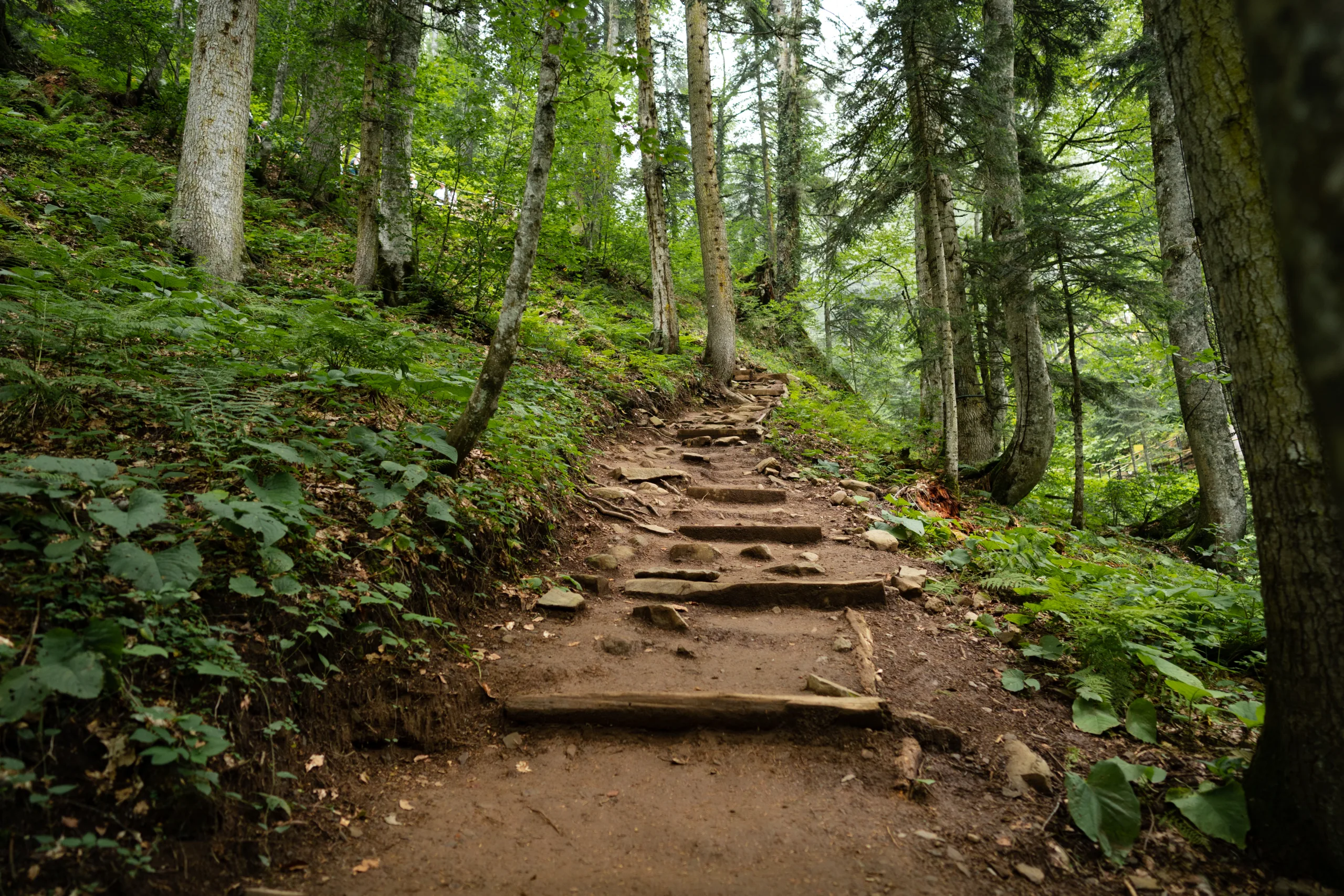
Williamson County, Texas, offers a diverse collection of scenic hiking trails that appeal to both casual walkers and experienced outdoor enthusiasts. From tranquil riverside paths to rugged canyon routes, this area north of Austin has quickly become a sought-after destination for nature lovers. In this guide to the best hiking trails in Williamson, TX, you will discover where to go, what to expect, and how to plan your next adventure on the trails.
Berry Springs Park And Preserve
Located just east of Georgetown, Berry Springs Park and Preserve is ideal for families and beginners. This serene park features well-maintained, mostly flat trails that wind through pecan orchards and along peaceful ponds. Birdwatching, picnicking, and wildlife viewing are popular activities here, making it a perfect introduction to hiking in Williamson County.
Because the terrain is gentle and the paths are clearly marked, Berry Springs is a great starting point for anyone new to hiking. Additionally, the park’s convenient amenities, including restrooms and picnic areas, make it a reliable choice for a relaxed day outdoors.
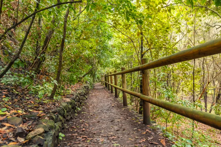
San Gabriel River Trail
For those seeking a longer and more varied route, the San Gabriel River Trail in Georgetown is a standout choice. This scenic trail follows the curves of the San Gabriel River, providing striking views of limestone bluffs, shaded forests, and open grasslands. Portions of the trail are paved, while others are natural surface, offering options for both walkers and seasoned hikers.
The San Gabriel River Trail connects several parks, including San Gabriel Park, Blue Hole, and Lake Georgetown, allowing visitors to customize the length of their hike. As you move along the path, you will notice how the landscape shifts, offering new vistas and photo opportunities at every turn.
Goodwater Loop At Lake Georgetown
To experience one of the most challenging and rewarding hikes in Williamson County, consider the Goodwater Loop at Lake Georgetown. This roughly 26-mile loop encircles Lake Georgetown and offers rugged terrain, rocky paths, and dramatic views of the lake and surrounding canyons. While many hikers choose to tackle the entire loop as a backpacking trip, shorter out-and-back sections are also popular.
Because of its distance and technical sections, the Goodwater Loop is best suited for intermediate to advanced hikers. However, with proper preparation, it can be one of the most memorable outdoor experiences in central Texas.
Comparison Of Top Williamson County Hiking Trails
To help you choose the right hike, the following table highlights key details about each featured trail in Williamson County.
| Trail | Location | Approx. Distance | Difficulty Level | Main Highlights |
|---|---|---|---|---|
| Berry Springs Park And Preserve | East of Georgetown | 2–3 miles of interconnected trails | Easy | Pecan groves, wildlife viewing, family-friendly paths |
| San Gabriel River Trail | Georgetown | Up to 10+ miles (various segments) | Easy to Moderate | Riverside views, limestone bluffs, park connections |
| Goodwater Loop At Lake Georgetown | Lake Georgetown | ~26-mile loop | Moderate to Hard | Lake views, canyon scenery, backpacking opportunities |
Planning Your Hike In Williamson County
Before you set out, it is important to plan carefully to ensure a safe and enjoyable hike. Check local trail conditions and weather forecasts, especially during the hot Texas summers and after heavy rains. Bring ample water, sun protection, and sturdy footwear, as some trails can be rocky and exposed.
Additionally, arrive early to secure parking and avoid peak midday heat. Many trails in Williamson County are multi-use, so stay aware of cyclists and runners, and always follow Leave No Trace principles by packing out your trash and respecting wildlife.
Conclusion
From the gentle paths of Berry Springs Park and Preserve to the rugged Goodwater Loop around Lake Georgetown, Williamson, TX offers some of the best hiking trails in Central Texas. Each trail provides a unique way to experience the region’s natural beauty, whether you prefer shaded riverside walks or challenging canyon climbs. By choosing the route that matches your experience level and interests, you can fully enjoy everything Williamson County’s trails have to offer and plan unforgettable outdoor adventures for years to come.
Finding the Best Hiking Trails in Williamson County, Texas
How can I find the best hiking trails in Williamson County, TX for my skill level?
Start by checking official resources such as the Williamson County Parks and Recreation website and local city parks pages for Round Rock, Georgetown, and Cedar Park, where trail maps and difficulty ratings are often provided. Use reputable hiking apps and websites that allow you to filter by distance, elevation gain, and user ratings to match your fitness level and experience. Reading recent reviews helps you understand current trail conditions, crowd levels, and any closures or detours. When in doubt, begin with shorter, well-marked trails and gradually work up to longer or more rugged routes as you become familiar with the terrain and local climate.
What are some popular hiking areas in Williamson County, TX to start exploring?
Several parks and preserves in Williamson County are known for reliable, well-maintained trails. Popular options include the Good Water Loop and adjacent trails around Lake Georgetown, Brushy Creek Regional Trail in the Round Rock and Cedar Park area, and San Gabriel Park and the San Gabriel River Trail in Georgetown. Smaller city parks and nature areas, such as Garey Park and Southwest Williamson County Regional Park, also offer shorter routes suitable for families and casual hikers. Review park maps and posted signage at trailheads to confirm distances, allowed uses, and any seasonal restrictions before setting out.
How do I check current trail conditions and closures before hiking?
Verify conditions by consulting the official websites or social media pages for Williamson County Parks, the U.S. Army Corps of Engineers for areas around Lake Georgetown, and the relevant city parks departments. These sources typically post information about temporary closures, flooding, maintenance, or fire restrictions. Supplement this with recent user reports on hiking platforms and local outdoor groups, which can highlight muddy sections, overgrown areas, or heavy traffic. Because Central Texas weather can change quickly, check the forecast on the day of your hike and be prepared to adjust your plans if severe heat, thunderstorms, or high water levels are expected.
What should I consider regarding weather and safety on Williamson County hiking trails?
The climate in Williamson County can be hot and humid, especially in late spring through early fall, so plan hikes during cooler morning or evening hours when possible and bring more water than you think you will need. Wear sun protection, sturdy footwear, and light, breathable clothing. Pay close attention to heat advisories and thunderstorm forecasts, as trails near creeks and low-lying areas can become slippery or flood quickly. Stay on marked paths to avoid damaging sensitive habitats and to reduce the risk of encounters with snakes or other wildlife. Always let someone know your route and estimated return time, carry a basic first aid kit, and keep a charged phone with offline maps if possible.
Where can I find maps and planning resources for hiking in Williamson County, TX?
Detailed trail maps are often available on the Williamson County Parks and Recreation website, the Army Corps of Engineers pages for Lake Georgetown, and the official sites of local municipalities such as Georgetown, Round Rock, Leander, and Cedar Park. Many parks post printable or downloadable PDFs, and some trailheads display large overview maps that you can photograph for reference. Complement these with digital tools from established hiking and mapping apps, enabling you to track your route, view topography, and identify key waypoints. For additional guidance, local outdoor retailers, visitor centers, and hiking clubs can provide recommendations tailored to your experience level and the season.


latest video

news via inbox
Sign up to get local tips delivered to your inbox.

