
Best Hiking Trails in Tucson, AZ
Best Hiking Trails In Tucson AZ
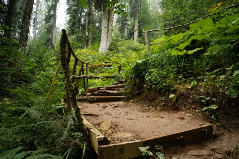
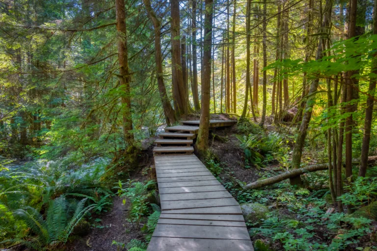
Nestled in the heart of the Sonoran Desert, Tucson, AZ offers some of the best hiking trails in the Southwest, attracting outdoor enthusiasts from around the world. With its dramatic mountain ranges, sweeping desert vistas, and abundant wildlife, this region provides a diverse range of scenic routes for every skill level. From the rugged paths of the Santa Catalina Mountains to the serene desert washes near Saguaro National Park, hikers can experience a unique blend of natural beauty and rich biodiversity. Moreover, Tucson’s extensive trail network offers year-round options, allowing visitors to enjoy sunrise hikes, challenging summit climbs, and leisurely nature walks. As you explore the city’s most popular routes, you will discover why hiking in Tucson is considered a must-do activity for both residents and travelers. In the following sections, we will highlight the top trails to help you plan your next adventure.
Introduction
Tucson, Arizona is a premier desert hiking destination, offering a diverse range of trails with sweeping mountain vistas, towering saguaro cacti, and dramatic sunsets. Nestled between several mountain ranges and surrounded by national parks and forests, Tucson provides year-round hiking opportunities for both beginners and experienced adventurers. This guide highlights the best hiking trails in Tucson, AZ and offers essential details to help you plan your next outdoor excursion.
Sabino Canyon Recreation Area
Located in the Santa Catalina Mountains, Sabino Canyon is one of Tucson’s most popular hiking areas. The main paved path up the canyon offers an easy to moderate walk, while side trails provide access to more challenging terrain. Visitors can enjoy riparian scenery, seasonal waterfalls, and abundant wildlife. Because the area can get crowded, it is best to arrive early, especially during cooler months and weekends.
Below is a helpful overview of key trails in Sabino Canyon:
| Trail Name | Difficulty | Distance (Round Trip) |
|---|---|---|
| Sabino Canyon Road | Easy | 7.4 miles |
| Phoneline Trail | Moderate | 9.8 miles |
Saguaro National Park East And West
Saguaro National Park surrounds Tucson on both the east and west sides, protecting the iconic saguaro cactus forests. The eastern Rincon Mountain District offers longer, higher-elevation hikes, while the western Tucson Mountain District provides shorter trails and classic desert scenery. Together, these areas showcase some of the best hiking trails in Tucson for photography, birdwatching, and sunset views.
Here is a comparison of top Saguaro National Park trails:
| Trail | District | Difficulty |
|---|---|---|
| Douglas Spring Trail | East | Moderate to Hard |
| Valley View Overlook | West | Easy |
Ventana Canyon And Finger Rock Trails
For hikers seeking more elevation gain and panoramic city views, Ventana Canyon and Finger Rock are excellent choices in the Catalina foothills. Ventana Canyon Trail gradually climbs through a lush desert canyon, eventually reaching higher, cooler elevations. In contrast, Finger Rock Trail is steeper and more strenuous, but the views over Tucson and the surrounding mountains are outstanding.
These trails are best tackled during cooler months or early in the morning. Because shade is limited at lower elevations, hikers should carry ample water, sun protection, and proper footwear. In addition, parking areas can fill quickly, so planning ahead is essential.
Practical Hiking Tips For Tucson Trails
When exploring the best hiking trails in Tucson, AZ, preparedness is crucial. Always bring more water than you think you will need, as desert conditions can lead to dehydration quickly. Furthermore, wearing a wide-brimmed hat, sunscreen, and lightweight, breathable clothing helps protect against intense sun exposure. It is also wise to check weather forecasts, as monsoon storms and extreme heat can create hazardous conditions.
Trail apps, maps, and local visitor centers provide up-to-date information on closures, wildlife advisories, and current conditions. Respecting the delicate desert ecosystem by staying on designated paths and packing out all trash helps preserve these remarkable landscapes for future hikers.
Conclusion
The best hiking trails in Tucson, AZ offer a unique combination of rugged mountain terrain, vibrant desert life, and unforgettable views. From the scenic corridors of Sabino Canyon to the saguaro-st\\udded paths of Saguaro National Park and the challenging ascents of Ventana Canyon and Finger Rock, there is truly a trail for every skill level. By preparing properly and exploring responsibly, you can fully experience the remarkable beauty of Tucson’s hiking trails and create lasting memories in the Sonoran Desert.
Finding the Best Hiking Trails in Tucson, AZ
What are some of the best hiking areas near Tucson for a variety of skill levels?
Tucson offers several major hiking areas that cater to different skill levels. Sabino Canyon Recreation Area is popular for both easy, paved walking routes and more challenging trails like Seven Falls. Saguaro National Park (East and West districts) provides well-marked trails through iconic saguaro cactus landscapes, with options ranging from short nature loops to longer backcountry routes. Catalina State Park, at the base of the Santa Catalina Mountains, features family‑friendly trails such as the Canyon Loop and more demanding routes that connect to the Coronado National Forest. For steeper, high‑elevation hikes, the Mount Lemmon area in the Santa Catalina Mountains offers a cooler climate and forested trails, while Tucson Mountain Park on the city’s west side has moderate desert hikes with excellent sunset views.
How can I choose a Tucson hiking trail that matches my experience and fitness level?
To match a trail to your ability, start by checking distance, total elevation gain, and estimated time from reliable sources such as official land‑management websites, apps like AllTrails or Hiking Project, and local hiking clubs. Beginners and families may prefer shorter desert trails under 3 miles round‑trip with minimal elevation gain, such as those in Saguaro National Park or Tucson Mountain Park. Intermediate hikers can look for moderate elevation changes and longer routes in Sabino Canyon or Catalina State Park. Advanced hikers might seek steeper climbs and higher elevations in the Mount Lemmon area or longer desert routes with significant elevation gain. Always read recent trail reports for conditions, note whether the route is exposed or shaded, and be realistic about heat tolerance, pace, and experience on rocky or uneven terrain.
What is the best time of year and day to hike in Tucson, AZ?
The most comfortable seasons for hiking in Tucson are fall, winter, and early spring, roughly from October through April, when daytime temperatures are cooler and conditions are generally safer for longer outings. Summer can be extremely hot at lower elevations, so if you hike then, it is best to start at sunrise, choose shorter routes, and consider higher‑elevation trails on Mount Lemmon where temperatures are significantly lower. Regardless of the season, mornings are usually the safest and most pleasant time of day, helping you avoid peak heat and afternoon thunderstorms that can occur during the summer monsoon season. Always check the forecast for heat advisories, wind, and storms before heading out.
Where can I find reliable information and maps for Tucson hiking trails?
Reliable trail information is available from official land‑management agencies and established outdoor resources. The National Park Service provides maps and descriptions for Saguaro National Park, while the U.S. Forest Service covers Coronado National Forest, including the Santa Catalina Mountains and Mount Lemmon. Arizona State Parks and Trails offers details for Catalina State Park, and Pima County resources cover Tucson Mountain Park and other regional parks. Online platforms such as AllTrails, Hiking Project, and local hiking forums include user reviews, photos, and recent condition reports. Printed maps and guidebooks from local outdoor retailers and visitor centers can also be valuable, especially in areas with limited cell coverage. Whenever possible, cross‑check multiple sources to confirm trail length, difficulty, and access points.
What safety tips should I follow when hiking desert trails in Tucson?
Desert hiking around Tucson requires careful preparation. Carry and drink plenty of water, often at least 1 liter per hour in hot conditions, and bring electrolyte snacks to avoid dehydration. Wear sun protection, including a wide‑brimmed hat, sunglasses, sunscreen, and lightweight, breathable clothing that covers exposed skin. Plan hikes for cooler hours and know your turnaround time so you finish before the hottest part of the day or before dark. Stay on marked trails to avoid damaging fragile desert ecosystems and to reduce the risk of getting lost or encountering hazards such as cacti or uneven terrain. Watch for wildlife, including snakes, and give them space. Let someone know your route and expected return time, carry a fully charged phone and a paper map or GPS, and be prepared to shorten or cancel your hike if temperatures rise, storms develop, or you begin to feel unwell.


latest video
news via inbox
Sign up to get local tips delivered to your inbox.


