Best Hiking Trails in Santa Ana, CA
Best Hiking Trails In Santa Ana CA
Nestled in the heart of Orange County, Santa Ana offers access to some of the **best hiking trails in Southern California**, attracting outdoor enthusiasts of all levels. From scenic canyon paths to urban nature preserves, these trails provide a refreshing escape from city life while showcasing the region’s diverse landscapes and native wildlife. As you explore **top-rated Santa Ana hiking trails**, you’ll discover routes ideal for family outings, trail running, bird-watching, and photography. Moreover, many of these paths connect to larger regional parks, offering extended adventures for more experienced hikers. Whether you’re seeking a **challenging incline with panoramic views** or a **leisurely walk along shaded creek beds**, Santa Ana’s trail network delivers a variety of options. In the following sections, we will highlight the most popular routes, key features, and helpful tips to ensure your next **Santa Ana hiking experience** is both safe and memorable.

Introduction
Santa Ana, CA, may be best known for its vibrant urban culture and historic downtown, but it also offers access to some of the best hiking trails in Orange County. From scenic canyon paths to family‑friendly nature loops, hikers of every skill level can find a trail that suits their needs. In this guide, you will discover the top hiking options in and around Santa Ana, along with helpful details to plan your next outdoor adventure. By highlighting trail features, difficulty levels, and amenities, this article is designed to help you quickly find the best fit for your next hike.
Best Hiking Trails Near Santa Ana
While Santa Ana itself is primarily urban, it is centrally located near several excellent parks and preserves. These nearby destinations provide a refreshing escape into nature without requiring a long drive. Below is a detailed overview of some of the top hiking trails close to Santa Ana, ideal for day trips and weekend outings.
| Trail Name | Location | Approx. Distance From Santa Ana | Difficulty | Highlights |
|---|---|---|---|---|
| Peters Canyon Regional Park Loop | Orange, CA | ~8 miles northeast | Easy to Moderate | Reservoir views, rolling hills, great for sunrise and sunset |
| Santiago Oaks Regional Park Trails | Orange, CA | ~11 miles northeast | Moderate to Challenging | Steep climbs, ridge vistas, diverse terrain |
| Oak Canyon Nature Center Trails | Anaheim, CA | ~12 miles north | Easy | Shaded creek, family friendly, wildlife viewing |
| Santa Ana River Trail Segment | Santa Ana, CA | Local access | Easy | Paved path, river corridor, bike and walk‑friendly |
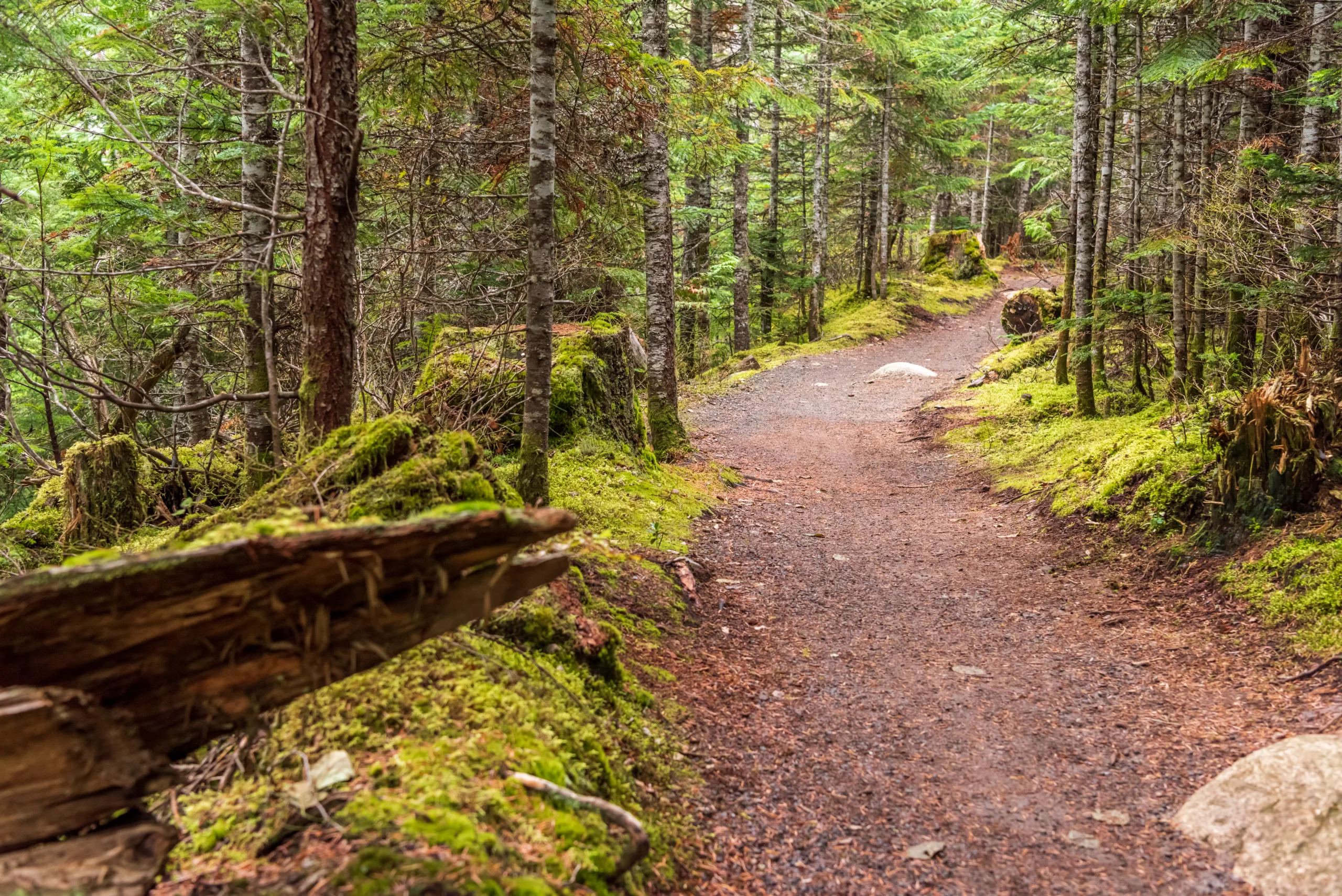
Peters Canyon Regional Park Loop
Peters Canyon Regional Park, located just a short drive from Santa Ana, offers one of the most popular hiking trails for locals and visitors. The main loop ranges from 2.5 to 5.5 miles depending on the route you choose, making it suitable for both casual walkers and more serious hikers. The trail features gentle climbs, scenic views of Peters Canyon Reservoir, and wide paths that are easy to follow. Because of its open landscape, it is wise to bring sun protection and water, especially during warmer months.
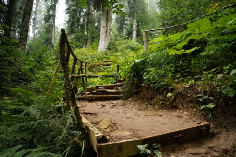
Santiago Oaks Regional Park Trails
For hikers seeking more elevation and challenge, Santiago Oaks Regional Park is an outstanding choice. Located northeast of Santa Ana, this park offers a network of trails with varying difficulty levels, including the Santiago Creek Trail and several ridgeline routes. Steeper sections reward you with panoramic views of the surrounding foothills and the city below. In addition, the park’s mix of singletrack and wider fire roads makes it appealing to both hikers and trail runners looking for a vigorous workout.
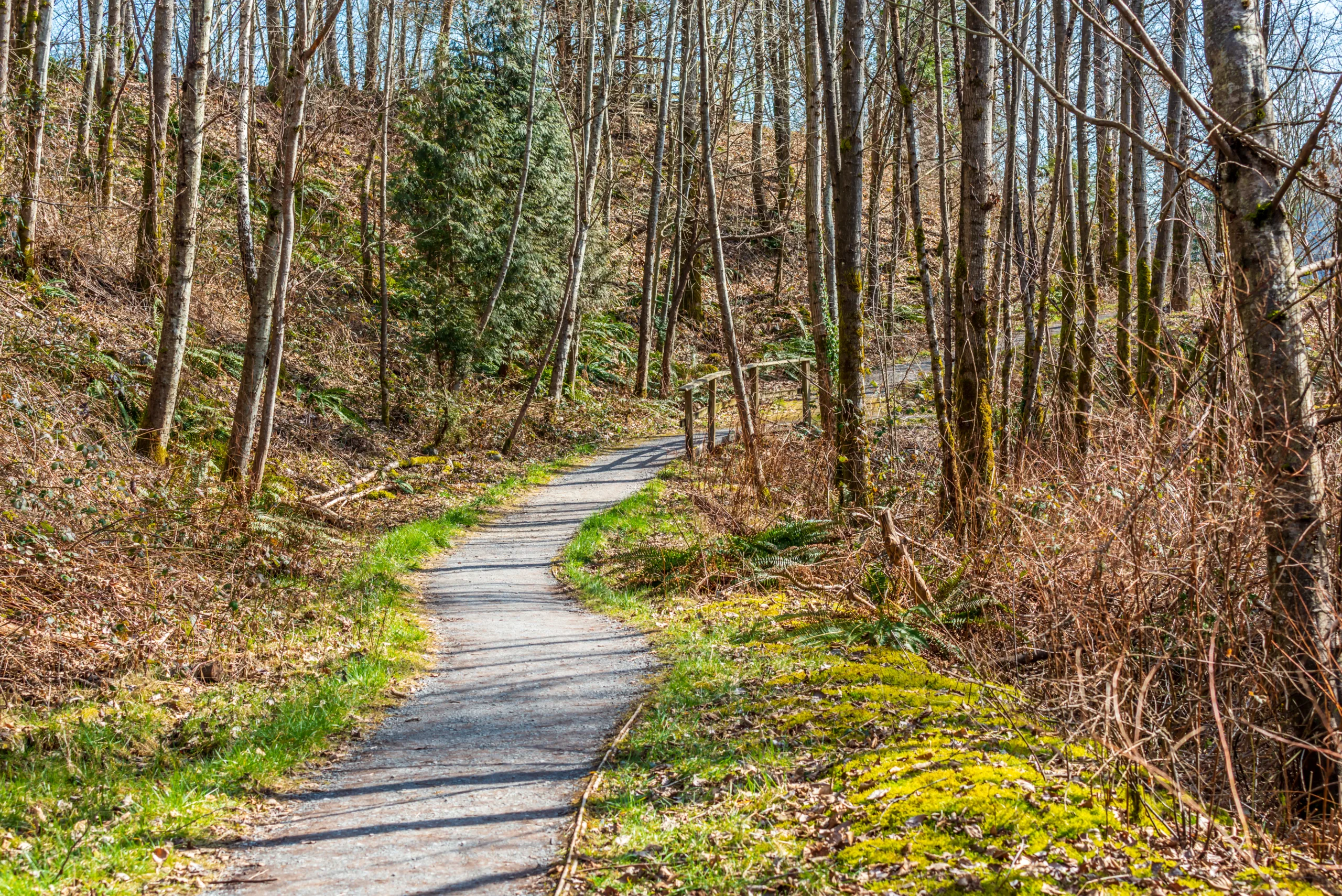
Oak Canyon Nature Center Trails
Families and beginner hikers will appreciate the tranquil environment at Oak Canyon Nature Center in nearby Anaheim. This 58‑acre natural park features a series of short interconnected trails, typically 1 to 3 miles in total. Shaded by oak and sycamore trees, the paths follow a year‑round stream, creating a cool and inviting atmosphere. Because of its educational nature center and easy terrain, Oak Canyon is an excellent introductory hike for children or those new to Southern California hiking.
Santa Ana River Trail Segment
The Santa Ana River Trail provides a versatile option right next to the city. Although it is often used by cyclists, pedestrians can also enjoy long, uninterrupted stretches along the river corridor. The surface is mostly paved and flat, making it ideal for walkers seeking a low‑impact, accessible route. While it may not offer the rugged scenery of canyon trails, it delivers convenient access, open views, and a safe place to build endurance over longer distances.
Trail Comparison At A Glance
| Trail | Approx. Length | Best For | Amenities |
|---|---|---|---|
| Peters Canyon Loop | 2.5–5.5 miles | Scenic fitness hikes, sunrise and sunset walks | Parking, restrooms, marked routes |
| Santiago Oaks Trails | Up to 8+ miles | Challenging climbs, trail running, training | Parking, restrooms, picnic areas |
| Oak Canyon Nature Center | 1–3 miles | Families, beginners, nature education | Visitor center, restrooms, guided programs |
| Santa Ana River Trail Segment | Varies (up to many miles) | Walking, jogging, cycling, accessible exercise | Paved path, multiple access points |
Conclusion
The area in and around Santa Ana, CA, offers a wide range of hiking experiences, from shaded creekside strolls to demanding ridgeline climbs. Whether you are a seasoned outdoor enthusiast or a newcomer looking for a simple weekend walk, these best hiking trails near Santa Ana provide something for everyone. By exploring parks like Peters Canyon, Santiago Oaks, Oak Canyon Nature Center, and the Santa Ana River Trail, you can enjoy fresh air, scenic views, and a healthier lifestyle—without traveling far from the heart of the city.
Finding the Best Hiking Trails in Santa Ana, CA
Where can I find the best beginner-friendly hiking trails near Santa Ana, CA?
For beginners, some of the most accessible trails near Santa Ana include the Peters Canyon Regional Park Lake View Trail, the Hicks Canyon Trail, and the Upper Newport Bay Nature Preserve paths. These trails generally have gentle elevation changes, wide paths, and clear signage, making them suitable for new hikers or families. Most of these areas offer well-marked loops ranging from 2 to 4 miles with scenic views of reservoirs, wetlands, and local wildlife. Check the OC Parks website for current trail conditions, maps, and any temporary closures before you go.
What are some popular scenic hiking spots close to Santa Ana with good viewpoints?
Popular scenic options close to Santa Ana include Santiago Oaks Regional Park, Peters Canyon Regional Park, and Limestone Canyon Regional Park on scheduled open-access days. Santiago Oaks offers several trails with moderate climbs leading to ridge-top viewpoints of Orange County and the Santa Ana Mountains. Peters Canyon’s East Ridge and the loops around the reservoir provide open vistas, especially at sunrise or sunset. Limestone Canyon, when open through guided hikes or designated access days, features striking canyon views, oak woodlands, and seasonal wildflowers. Always verify parking fees, hours, and access restrictions with the respective park agencies before planning your hike.
How can I check trail conditions and closures for hikes around Santa Ana, CA?
To confirm trail conditions and closures near Santa Ana, use official sources such as the OC Parks website, the Irvine Ranch Conservancy website, and the City of Orange or City of Irvine parks pages. These sites typically update information on weather-related closures, fire danger restrictions, and maintenance work. You can also call park ranger stations listed on park websites for real-time information. In addition, reputable hiking apps and local hiking groups on social media can offer recent trip reports, but always prioritize official agency announcements when planning your route.
What should I consider for safety when hiking trails in and around Santa Ana?
Safety on Santa Ana–area trails starts with checking the weather and avoiding hikes during extreme heat or high fire danger. Carry sufficient water, wear sun protection, and choose trails that match your fitness level, especially in parks with steeper terrain like Santiago Oaks. Stay on marked paths to reduce the risk of getting lost and to minimize encounters with local wildlife such as rattlesnakes. Let someone know your route and expected return time, and bring a fully charged phone plus a basic first-aid kit. Follow posted signage, watch for mountain bikers on multi-use trails, and respect any fire or wildlife advisories issued by park authorities.
Are there any guided or organized hikes available near Santa Ana, CA?
Several organizations offer guided or organized hikes near Santa Ana. The Irvine Ranch Conservancy regularly hosts free or low-cost guided hikes, fitness walks, and educational outings in protected open spaces such as Limestone Canyon, Black Star Canyon, and Weir Canyon. OC Parks and local city recreation departments occasionally schedule ranger-led hikes and nature walks at regional parks like Peters Canyon and Santiago Oaks. You can also find organized group hikes through local hiking clubs and meet-up groups focused on Orange County trails. Advance registration is often required, especially for hikes in sensitive or limited-access areas, so check event calendars and sign up early.


latest video

news via inbox
Sign up to get local tips delivered to your inbox.


