
Best Hiking Trails in San Francisco, CA
Best Hiking Trails In San Francisco CA
San Francisco, CA offers some of the most scenic and diverse hiking trails in the United States, blending dramatic coastal views, lush forests, and iconic city landmarks. From the rugged cliffs of Lands End to the tranquil pathways of Glen Canyon Park, outdoor enthusiasts can discover routes that suit every skill level. Moreover, the city’s compact geography makes it easy to transition from bustling urban streets to peaceful natural escapes in minutes. Whether you are a local resident or a visitor planning an active itinerary, exploring these top hiking trails is an excellent way to experience the region’s natural beauty, rich history, and mild coastal climate. As you continue through this guide, you will find essential information to help you choose the right trail, prepare for changing weather conditions, and make the most of your San Francisco hiking adventure.

Best Hiking Trails In San Francisco CA
San Francisco, CA, is renowned for its iconic skyline and historic landmarks, but it is also home to some of the best urban hiking trails in California. From coastal paths with sweeping ocean views to forested escapes within city limits, there are routes suitable for every skill level. Exploring these trails is one of the most rewarding ways to experience the city’s diverse landscapes, mild climate, and rich natural beauty.
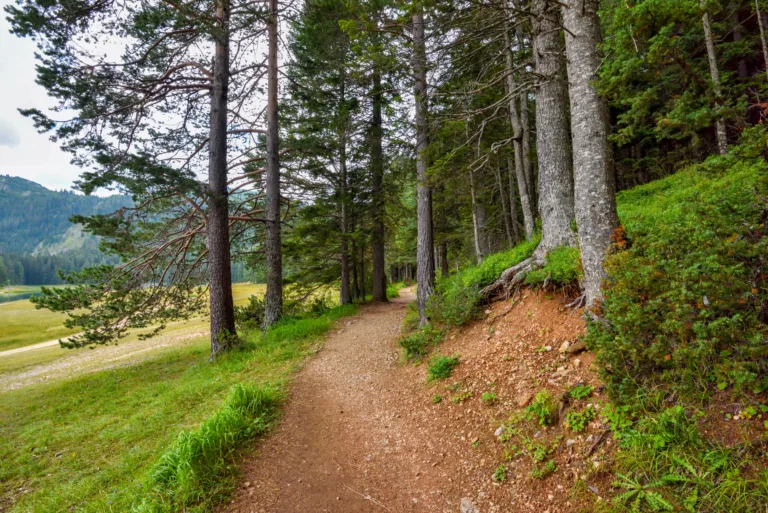
Lands End Coastal Trail
The Lands End Coastal Trail is a must-hike route for visitors and locals alike. Located near the northwestern edge of the city, this trail offers stunning views of the Golden Gate Bridge, the Marin Headlands, and the Pacific Ocean. The path is well-maintained and relatively easy, making it ideal for families and casual hikers. Along the way, you can explore the historic Sutro Baths ruins and enjoy scenic overlooks perfect for photography.
Below is a quick overview of key details for Lands End and other top trails:
| Trail Name | Approx. Distance | Difficulty | Main Highlights |
|---|---|---|---|
| Lands End Coastal Trail | 3–4 miles | Easy to Moderate | Golden Gate views, Sutro Baths, coastal cliffs |
| Twin Peaks Trail | 1–2 miles | Moderate | 360° city vistas, sunrise and sunset views |
| Mount Sutro Open Space | 3–5 miles | Easy to Moderate | Eucalyptus forest, shaded trails |
| Glen Canyon Park | 1–3 miles | Easy | Canyon scenery, wildlife viewing |
Twin Peaks Trail
For those seeking panoramic city views, the Twin Peaks Trail is an excellent choice. This short but rewarding hike climbs to two prominent hills near the geographic center of San Francisco. From the summit, hikers are treated to a 360-degree view of the city skyline, the bay, and the surrounding hills. Although the ascent can be steep and windy, the paved and dirt paths make the route accessible to most hikers.
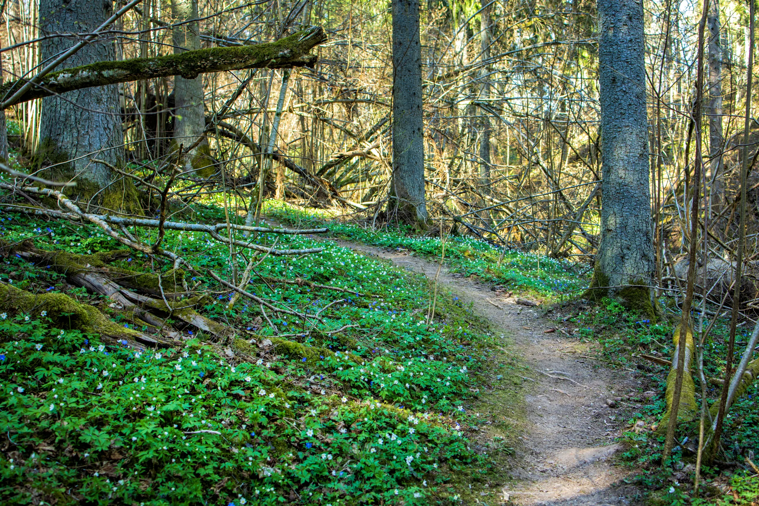
Mount Sutro Open Space
Hidden in the heart of the city, the Mount Sutro Open Space Reserve offers a peaceful retreat from urban life. Its network of interconnected trails winds through dense eucalyptus forests, providing cool shade and a tranquil atmosphere. The trails are relatively gentle, with some gradual elevation changes, and are popular for trail running, birdwatching, and dog walking. This lush, fog-kissed forest demonstrates that San Francisco hiking is not just about coastal views, but also about serene woodland escapes.
Glen Canyon Park
Glen Canyon Park is another gem for hikers looking for a more rugged, natural setting within city limits. The park’s main trail follows a creek through a rocky canyon, surrounded by grasslands and native plants. With its mixture of open space and narrow paths, Glen Canyon is ideal for families, beginners, and anyone wanting a short yet scenic outing. Additionally, the area supports a variety of wildlife, offering opportunities to spot birds of prey and other local species.
Conclusion
San Francisco’s best hiking trails combine dramatic scenery, convenient access, and a variety of difficulty levels. Whether you are strolling along the Lands End Coastal Trail, climbing to the top of Twin Peaks, wandering through the forests of Mount Sutro, or exploring the rugged paths of Glen Canyon Park, you will discover that the city’s natural side is as impressive as its famous landmarks. By planning your route and exploring these top-rated hikes, you can experience the best hiking in San Francisco, CA and make the most of your outdoor adventure.
Finding the Best Hiking Trails in San Francisco, CA
What are some of the best beginner-friendly hiking trails in San Francisco?
Where can I find the best coastal and Golden Gate Bridge views while hiking?
How can I find less crowded hiking trails in San Francisco?
What should I consider when choosing a San Francisco hiking trail based on difficulty?
Where can I get reliable information and maps for hiking in San Francisco?


latest video

news via inbox
Sign up to get local tips delivered to your inbox.

