Best Hiking Trails in Plano, TX
Best Hiking Trails In Plano TX
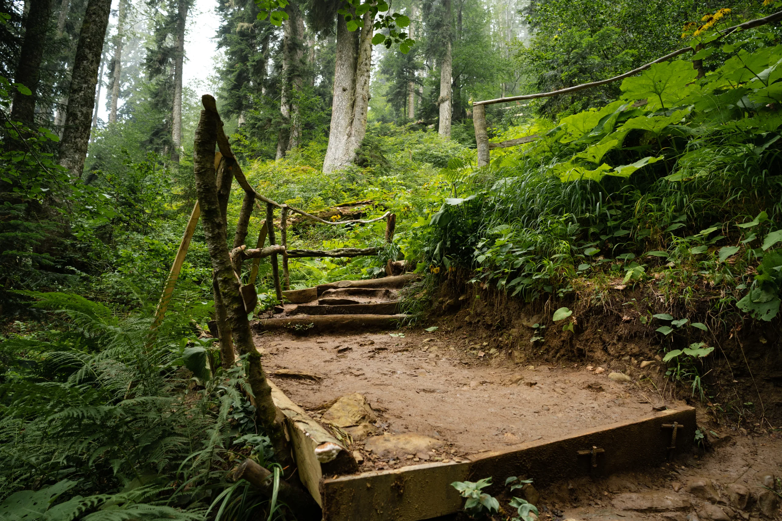
Discover the **best hiking trails in Plano, TX**, where scenic natural beauty meets thoughtfully designed urban parks. This vibrant North Texas city offers **well-maintained paths, diverse landscapes, and family-friendly routes** that appeal to both beginners and seasoned hikers. From shaded creekside walks to expansive nature preserves, Plano’s trail system provides a refreshing escape from busy city life while remaining conveniently accessible.
As you explore the **top hiking spots in Plano**, you’ll encounter native wildlife, picturesque overlooks, and peaceful picnic areas that invite you to linger. Moreover, many of these trails connect to larger greenbelt networks, allowing outdoor enthusiasts to extend their adventures with ease. Whether you’re planning a quick afternoon outing or a longer weekend trek, understanding the key features of each trail will help you choose the right experience and **make the most of hiking in Plano, Texas**.

Introduction
Plano, Texas, may be best known for its booming business community, yet it also offers an impressive network of scenic hiking trails. From shady creekside paths to expansive nature preserves, the best hiking trails in Plano TX provide outdoor enthusiasts with convenient escapes into nature. Whether you are a beginner looking for a family-friendly walk or an experienced hiker seeking a longer trek, Plano’s trail system delivers variety, beauty, and accessibility.
Top Hiking Trails In Plano TX
To help you plan your next outing, the table below highlights some of the top-rated hiking trails in Plano, including distance, difficulty, and notable features.
| Trail | Approx. Length | Difficulty | Key Features |
|---|---|---|---|
| Oak Point Park & Nature Preserve | 8+ miles | Easy to Moderate | Lakeside views, mixed paved and natural-surface trails |
| Arbor Hills Nature Preserve | 3–4 miles | Easy | Scenic overlooks, creek crossings, wildlife viewing |
| Chisholm Trail | 9 miles (out and back) | Easy | Urban greenbelt, creekside path, connects multiple parks |
| Legacy Trail | 5+ miles | Easy | Concrete trail, shady sections, neighborhood access |
| Bob Woodruff Park Trails | 3 miles | Easy | Lake views, playgrounds, link to Oak Point trails |
Oak Point Park And Nature Preserve
Spanning more than 800 acres, Oak Point Park & Nature Preserve is Plano’s largest and most diverse outdoor destination. Its interconnected web of paved and soft-surface hiking trails winds through woodlands, prairies, and around a peaceful lake. This variety makes Oak Point ideal for both casual walkers and fitness-focused hikers. Parking is plentiful, and the park often hosts community events, making it a lively hub for recreation.
Arbor Hills Nature Preserve
For those seeking a more immersive nature experience, Arbor Hills Nature Preserve is a must-visit. Gently rolling trails, shaded by native trees, create the perfect setting for birdwatching and wildlife photography. The preserve includes both paved loops and natural dirt paths, so visitors can customize the length and challenge of their hike. Additionally, an elevated observation tower offers sweeping views of the surrounding landscape.
Chisholm Trail And Legacy Trail
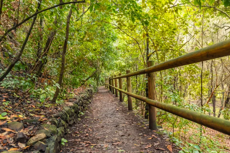
Connecting parks, neighborhoods, and green spaces, the Chisholm Trail and Legacy Trail form the backbone of Plano’s urban hiking network. These primarily concrete paths are excellent for long-distance walks, runs, or bike rides. As you travel along these greenbelts, you will pass under mature trees, follow meandering creeks, and encounter several access points to playgrounds and picnic areas. Because they are relatively flat, these trails are especially friendly for families, strollers, and casual hikers.
Bob Woodruff Park Trails
Linked to Oak Point via a scenic corridor, Bob Woodruff Park offers shorter hiking routes with beautiful lake vistas and open fields. This area is perfect for combining a relaxed hike with a picnic or a visit to the playground. The trails here are well marked and easily accessible, making Bob Woodruff Park a convenient choice for quick outings and after-work walks.
Tips For Enjoying Plano Hiking Trails
To make the most of the best hiking trails in Plano TX, start early during hot months, bring plenty of water, and wear sun protection. Many trails are multi-use, so stay alert for cyclists and runners, and follow posted rules to protect wildlife and vegetation. Checking park websites or local trail apps before heading out can also help you confirm hours, closures, and trail conditions.
Conclusion
From expansive preserves to convenient neighborhood greenbelts, Plano’s hiking trails deliver year-round outdoor adventure. Oak Point Park, Arbor Hills, Chisholm Trail, Legacy Trail, and Bob Woodruff Park each offer distinct scenery and experiences, ensuring that every hiker can find a favorite route. By exploring these top hiking trails in Plano TX, you will not only improve your fitness, but also discover a richer appreciation for the natural beauty woven throughout this thriving North Texas city.
Finding the Best Hiking Trails in Plano, TX
What are some of the best hiking trails in Plano, TX for beginners?
Oak Point Park and Nature Preserve offers wide, mostly flat trails that are ideal for beginners, with both paved and natural-surface paths. Arbor Hills Nature Preserve is another popular option, featuring clearly marked loop trails of varying lengths that are manageable for new hikers. These locations provide good signage, easy access to trailheads, and amenities such as restrooms and parking, making them convenient starting points for those new to hiking in Plano.
Where can I find scenic hiking trails with water or nature views in Plano?
Oak Point Park and Nature Preserve is known for its scenic trails that wind around a large pond, wooded areas, and open green spaces, providing a mix of water views and natural landscapes. The Bluebonnet Trail System runs through several parks and greenbelts in Plano, offering stretches along creek beds, small bridges, and shaded areas. Legacy Trail is another option where you can walk or hike along the creek corridor and enjoy mature trees and well-maintained surroundings.
How can I choose the right hiking trail in Plano based on difficulty and distance?
Start by checking the City of Plano Parks and Recreation website, which often lists trail distances, surfaces, and park maps. For shorter, easy routes, look for paved greenbelt trails such as sections of the Bluebonnet or Chisholm Trail. If you want moderate mileage with gentle elevation changes and natural terrain, focus on the loop trails at Arbor Hills or Oak Point. Review online trail platforms that include user reviews, elevation profiles, and photos to confirm whether the trail matches your fitness level and time available. Choosing out-and-back routes also allows you to turn around whenever needed to adjust the total distance.
When is the best time of year and day to hike in Plano, TX?
The most comfortable months for hiking in Plano are typically fall and spring, when temperatures are milder and humidity is lower. Early morning is usually the best time of day in any season, as trails are cooler, less crowded, and offer better lighting conditions. During the summer, it is advisable to avoid midday heat and instead hike at sunrise or near sunset, choosing shaded trails and carrying ample water. In winter, mid-morning and early afternoon can be pleasant, but it is wise to check the forecast for wind chill and wet conditions before you go.
What should I consider for safety and preparation when hiking trails in Plano?
Review a map of the trail system before you start and note key landmarks such as parking areas, restrooms, and trail junctions. Wear appropriate footwear with good traction, especially on natural-surface or potentially muddy sections. Carry water, sunscreen, and insect repellent, as North Texas trails can be hot and buggy, particularly in warmer months. Let someone know where you are going and approximately how long you plan to be out. Pay attention to trail signs, stay on designated paths to protect both yourself and the environment, and check city or park websites for any closures, flooding warnings, or special advisories before heading out.


latest video
news via inbox
Sign up to get local tips delivered to your inbox.


