Best Hiking Trails in Montana City, MT
Best Hiking Trails In Montana City MT
Nestled in the foothills just southeast of Helena, Montana City, MT offers some of the best hiking trails in southwest Montana, combining scenic views, diverse terrain, and easy access from town. From family-friendly paths to more challenging routes, this area provides outdoor enthusiasts with numerous options to explore towering pines, open meadows, and panoramic mountain vistas. Moreover, the region’s extensive trail network connects hikers to historic mining corridors and peaceful creek-side walks, creating a rich blend of natural beauty and local heritage. Whether you’re planning a quick afternoon hike or a full-day adventure, the trails around Montana City deliver memorable experiences in every season. As you discover these top routes, you’ll also find convenient trailheads, clear signage, and ample opportunities for wildlife viewing and photography. This guide to the best hiking trails in Montana City, Montana will help you choose the perfect route for your next outdoor escape.

Introduction
Located just southeast of Helena, Montana City, MT offers quick access to some of the best hiking trails in central Montana. With rolling pine forests, rocky outcrops, and expansive valley views, this area is ideal for hikers seeking both convenience and natural beauty. This guide highlights the best hiking trails near Montana City, helping visitors and locals choose routes that match their interests, skill levels, and timeframes.
Why Hike Near Montana City
Montana City sits at the edge of the Elkhorn and Big Belt mountain ranges, making it a strategic base for outdoor adventures. Trails here range from gentle forest paths to more challenging ridge climbs, so there is something for everyone. Additionally, the area’s proximity to Helena means hikers can easily pair a day on the trail with dining, shopping, or other attractions. As you explore, you will discover that Montana City hiking trails combine accessibility with authentic Montana wilderness.
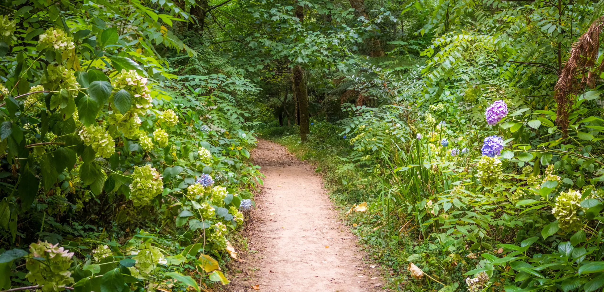
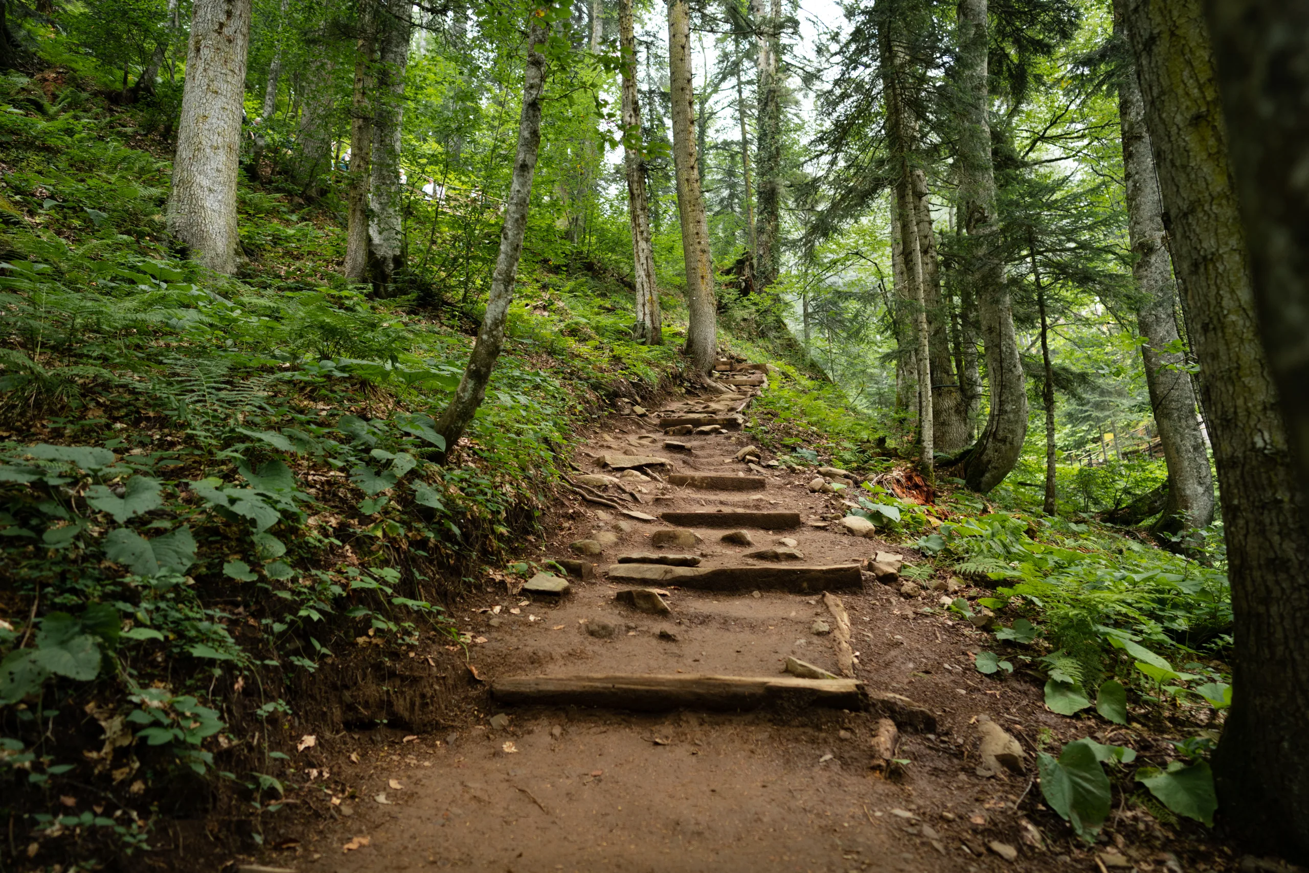
Top Hiking Trails Near Montana City
While Montana City itself is small, several standout trails lie within a short drive. These routes offer a combination of scenic views, wildlife sightings, and varied terrain. To help you compare options at a glance, review the table below featuring some of the best hiking trails near Montana City, MT.
| Trail Name | Distance (Round Trip) | Difficulty | Key Highlights | Approx. Drive From Montana City |
|---|---|---|---|---|
| Mount Helena Ridge Trail | 9–11 miles | Moderate | Ridge views, wildflowers, connecting loops | 15–20 minutes |
| 1906 Trail To Mount Helena Summit | 3–3.5 miles | Moderate/Steep | Panoramic views of Helena Valley | 15–20 minutes |
| Prairie Trail Loop (South Hills) | 2–4 miles | Easy | Gentle grades, family friendly, open hillsides | 15 minutes |
| Fish Creek Trail (Elkhorn Area) | 5–7 miles | Moderate | Creekside hiking, forest shade | 25–35 minutes |
| Bear Trap Gulch | 3–5 miles | Moderate | Quieter trail, good for wildlife viewing | 20–30 minutes |
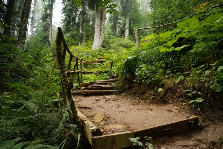
Trail Highlights And Tips
The Mount Helena Ridge Trail is ideal for hikers seeking a longer outing with sweeping views. Numerous access points and connector trails allow for customized loops, making it popular for both day hikes and trail runs. For a shorter but rewarding climb, the 1906 Trail leads directly to the summit of Mount Helena, where interpretive signs and vistas provide insight into the region’s history and geology.
If you prefer a more relaxed adventure, the Prairie Trail Loop offers gentle grades suitable for beginners, children, and leashed dogs. Meanwhile, Fish Creek Trail and Bear Trap Gulch take you deeper into forested drainages, where you can enjoy cooler temperatures, stream crossings, and a greater sense of solitude. As you move from one trail to another, you will notice how the landscape shifts from open grasslands to dense conifer stands, showcasing the area’s ecological diversity.
Planning Your Montana City Hike
Before heading out, always check local trail conditions and weather forecasts. Carry enough water, wear sturdy footwear, and pack layers, as mountain weather can change quickly. Additionally, remember to practice Leave No Trace principles by staying on established paths and packing out all trash. By preparing thoughtfully, you can ensure that your experience on the best hiking trails near Montana City, MT is both safe and enjoyable.
Conclusion
From ridge-top panoramas to peaceful creek-side paths, the hiking opportunities around Montana City provide a rich variety of experiences for outdoor enthusiasts. By exploring these carefully selected routes, you will gain a deeper appreciation for the region’s scenery, wildlife, and small-town charm. Whether you are a local resident or a visitor planning a Montana itinerary, hiking near Montana City is one of the most rewarding ways to discover this beautiful corner of the state.
Finding the Best Hiking Trails in Montana City, MT
How can I find the best hiking trails near Montana City, MT for my skill level?
When is the best time of year to hike in the Montana City area?
What local resources can help me plan hiking routes around Montana City, MT?
How can I stay safe and prepared while hiking near Montana City, MT?
Are there family-friendly or beginner hiking options close to Montana City, MT?

latest video
news via inbox
Sign up to get local tips delivered to your inbox.

