
Best Hiking Trails in Manhattan, NY
Best Hiking Trails In Manhattan NY
Nestled amid towering skyscrapers and bustling avenues, Manhattan offers an unexpected escape for outdoor enthusiasts seeking the best hiking trails in New York City. From riverside paths with sweeping skyline views to wooded routes that feel miles away from urban life, these scenic trails provide a refreshing way to explore the island on foot. As you venture through iconic green spaces like Central Park, Inwood Hill Park, and the Hudson River Greenway, you’ll discover diverse landscapes, historic landmarks, and peaceful overlooks that showcase a different side of Manhattan. Moreover, these accessible trails cater to all skill levels, making them ideal for casual walkers, fitness hikers, and nature lovers alike. In the sections that follow, we will highlight the top routes, key features, and practical tips to help you plan your next Manhattan hiking adventure.
Introduction
For many outdoor enthusiasts, Manhattan may not be the first place that comes to mind when searching for scenic hikes. However, this iconic borough offers several surprisingly beautiful hiking trails that combine nature, skyline views, and rich history. From riverside paths to wooded ridges, the best hiking trails in Manhattan, NY, provide a refreshing escape from city streets while remaining easily accessible by public transportation.
Top Hiking Trails In Manhattan
When planning a day outdoors, it is helpful to know which trails offer the best mix of scenery, difficulty, and amenities. Below is a detailed overview of the top options for hiking in Manhattan.
| Trail | Location | Approx Distance | Difficulty |
|---|---|---|---|
| Inwood Hill Park Trails | Inwood, Northern Manhattan | 1–3 miles (various loops) | Easy to Moderate |
| Hudson River Greenway | West Side Waterfront | Up to 11 miles one way | Easy |
| Highbridge Park Trail | Washington Heights | 1–2 miles | Moderate |
| Central Park North Woods | Central Park, 100s | 0.5–1.5 miles | Easy |
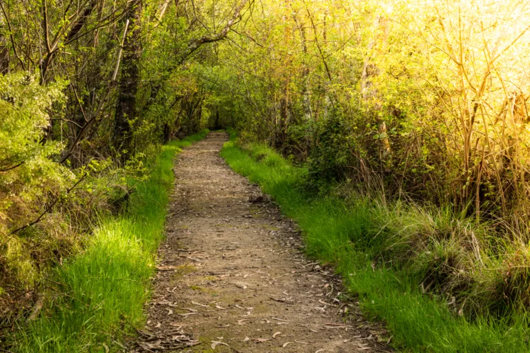
Inwood Hill Park Trails
Inwood Hill Park features some of the most rugged and natural terrain in Manhattan. Located at the northern tip of the island, its wooded trails wind through glacially carved hills, rock formations, and quiet forest. As you hike toward the higher viewpoints, you are rewarded with sweeping views of the Hudson River, the Palisades in New Jersey, and the Spuyten Duyvil. For a truly immersive experience, follow the ridge trails and then transition down to the salt marshes along the riverbank.
Hudson River Greenway
The Hudson River Greenway is one of the longest continuous waterfront paths in Manhattan, ideal for hikers who prefer a flatter route. Stretching along the west side from Battery Park to Inwood, this paved path offers constant river views, breezes, and photo opportunities with the Manhattan skyline. Although often used by cyclists and runners, it also serves as a scenic urban hiking route, especially if you walk long segments between neighborhoods such as Chelsea, the Upper West Side, and Washington Heights.
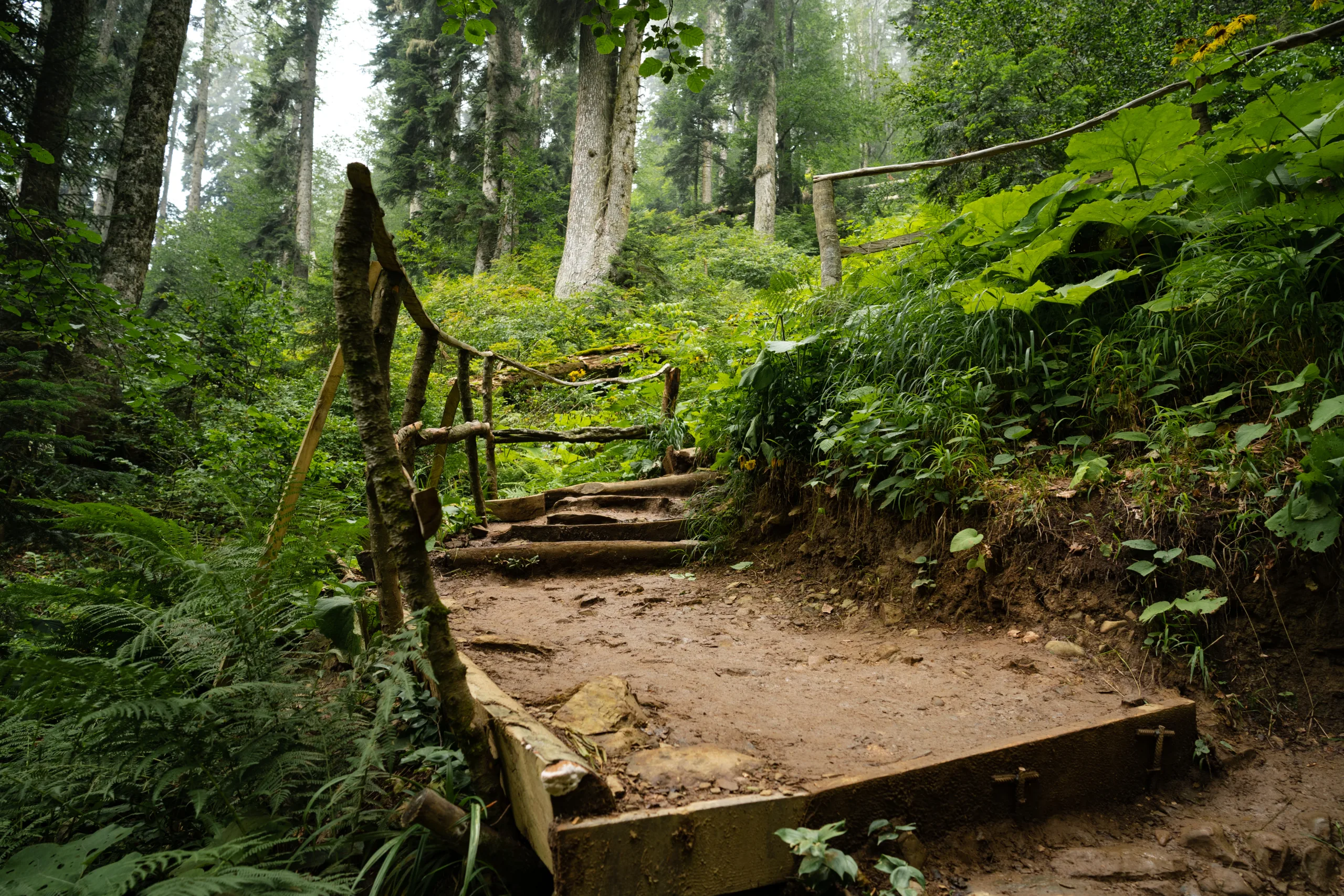
Highbridge Park Trail
Highbridge Park provides a more secluded hiking experience on Manhattan’s northern edge. Its wooded trail system includes dirt paths, stairs, and steep sections that make it an appealing choice for those seeking a moderate urban hike. A highlight of the area is the historic High Bridge, which connects Manhattan to the Bronx and offers excellent views of the Harlem River. Transitioning from the bridge to the park’s interior trails allows you to experience both history and nature in a single outing.
Central Park North Woods
For hikers in central Manhattan, the North Woods in Central Park delivers a surprisingly tranquil environment. Located around the 100s on the park’s west side, this area features winding paths, waterfalls, and dense tree cover. While the trails are relatively short and easy, the landscape feels far removed from Midtown’s busy streets. By combining the North Woods with nearby loops around the Great Hill, you can create a longer, peaceful urban hike perfect for beginners or families.
Conclusion
Although Manhattan is famous for skyscrapers and crowded streets, it also offers a variety of rewarding hiking trails and nature escapes. From the rugged hills of Inwood Hill Park to the expansive Hudson River Greenway and the quiet woods of Central Park, there are options for hikers of all skill levels. By exploring these trails, you can enjoy fresh air, scenic vistas, and a new perspective on New York City, all without leaving the island of Manhattan.
Finding the Best Hiking Trails in Manhattan, NY
Where can I find the best hiking-style trails in Manhattan, NY?
Which Manhattan parks offer the most nature-focused hiking experiences?
How can I evaluate the difficulty level of hiking trails in Manhattan?
What is the best way to plan a hiking route in Manhattan using public transportation?
Are there resources or apps that help find and navigate Manhattan hiking trails?


latest video
news via inbox
Sign up to get local tips delivered to your inbox.


