Best Hiking Trails in Lubbock, TX
Best Hiking Trails In Lubbock TX
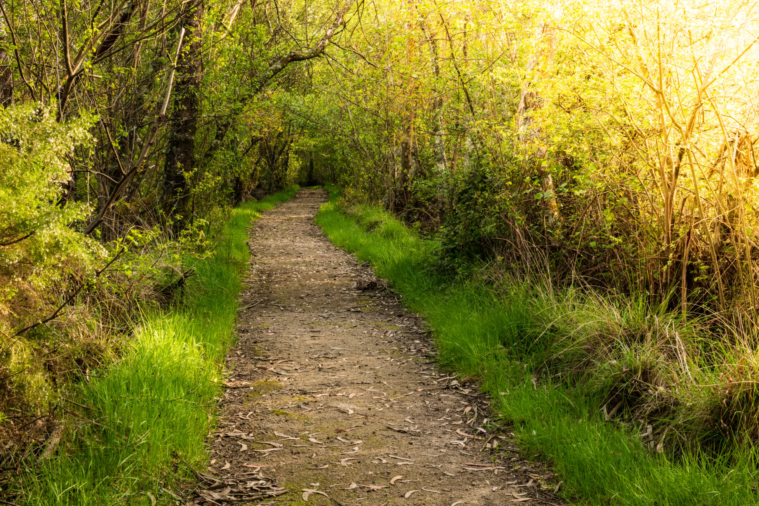
Lubbock, TX offers a surprising variety of scenic hiking trails that highlight the unique beauty of the South Plains. From peaceful canyon overlooks to well-maintained urban paths, these routes provide outdoor enthusiasts with accessible options for all skill levels. As you explore the best hiking trails in Lubbock, you will discover tranquil lakeside views, rugged red rock formations, and abundant wildlife. Whether you are a local resident or a visitor planning your next adventure, Lubbock’s trail system delivers a refreshing escape from city life.
In this guide, we will introduce you to the top-rated hiking areas, including popular destinations such as Buffalo Springs Lake, Mae Simmons Park, and Lubbock Lake Landmark. Along the way, you will find helpful information on trail difficulty, scenery, and amenities. By understanding what each trail offers, you can choose the perfect route for your next outdoor experience in Lubbock.
Introduction
Lubbock, TX, may be best known for its music and college-town culture, but it also offers a surprising variety of scenic hiking opportunities. From canyon overlooks to lakeside loops, the best hiking trails in Lubbock provide outdoor enthusiasts with accessible adventures close to the city. This guide highlights the top trails, ideal for both beginners and experienced hikers, while also offering practical details to help you plan your next outing.
Buffalo Springs Lake Trails
Located just east of Lubbock, Buffalo Springs Lake features some of the most popular hiking in the area. The park offers multiple interconnected trails that wind along the lake, through rolling hills, and across rugged West Texas terrain. With diverse scenery and abundant wildlife, these trails are ideal for day hikes, photography, and family outings.
Buffalo Springs Lake charges a small entry fee, but the well-maintained paths and lakeside views make it worthwhile. Hikers should bring plenty of water and sun protection, as shade can be limited, especially during summer months.
| Trail Feature | Details |
|---|---|
| Difficulty | Easy to Moderate |
| Approximate Distance | 1–6 miles (various loops) |
| Highlights | Lake views, wildlife, picnic areas |
Mae Simmons Park And Canyon Lake 6
For hikers who prefer urban convenience without sacrificing natural beauty, Mae Simmons Park and the adjacent Canyon Lake 6 area offer excellent options. Trails here follow the twists of the Brazos River system and the lake shoreline, creating scenic routes with gentle elevation changes. These paths are popular for both hiking and trail running.
The Mae Simmons trail network is especially appealing at sunrise and sunset, when the sky reflects off the water and local birdlife becomes more active. The trails are relatively easy, making them suitable for beginners and families, while still offering enough distance for those seeking a longer outing.
Llano Estacado Trails At Lubbock Lake Landmark
The Lubbock Lake Landmark is more than a hiking destination; it is also an important archaeological and natural history site. Its Llano Estacado trails provide a unique opportunity to explore short grass prairie, interpretive exhibits, and well-marked paths that highlight the region’s cultural and ecological history.
These trails are generally easy, with mostly flat terrain and clearly defined routes. Educational signage along the way offers insight into ancient human activity and local flora and fauna, making this an ideal choice for hikers interested in both exercise and learning.
| Trail | Difficulty | Best For |
|---|---|---|
| Buffalo Springs Lake | Easy–Moderate | Scenic day hikes and lakeside views |
| Mae Simmons & Canyon Lake 6 | Easy | Urban-accessible nature walks |
| Lubbock Lake Landmark | Easy | Educational hikes and short outings |
Tips For Hiking In Lubbock
Because Lubbock’s climate can be hot, dry, and windy, hikers should plan accordingly. Carry extra water, wear sun-protective clothing, and check weather forecasts before heading out. Additionally, staying on marked trails helps protect fragile grassland ecosystems and ensures a safer, more enjoyable experience.
Conclusion
The best hiking trails in Lubbock, TX, showcase the distinct beauty of the South Plains while remaining easily accessible from town. From the lakes and canyons of Buffalo Springs to the educational paths at Lubbock Lake Landmark, there is a trail for every experience level and interest. By choosing the right route and preparing for the local conditions, you can enjoy memorable hiking experiences in and around Lubbock all year long.
Finding the Best Hiking Trails in Lubbock, TX
Where can I find the best beginner-friendly hiking trails in Lubbock, TX?
For beginner-friendly hikes in Lubbock, start with the trails at Lubbock Lake Landmark and Copper Breaks Park within the city’s reach. Lubbock Lake Landmark offers relatively flat, clearly marked paths with interpretive signs about local history and archaeology, making it ideal for new hikers and families. Many neighborhood and city parks, such as Mackenzie Park, also feature short, easy paths with minimal elevation gain. When choosing a beginner trail, look for distances under 3 miles, loop routes, and surfaces that are mostly packed dirt or gravel. Local park websites and trail apps can help you filter by difficulty to ensure the trails are appropriate for your experience level.
How can I discover the most scenic hiking spots around Lubbock?
To find scenic hiking spots near Lubbock, focus on areas with access to canyons, lake views, and native High Plains landscapes. Popular options within driving distance include Caprock Canyons State Park and Palo Duro Canyon State Park, both known for dramatic red rock formations and panoramic overlooks. Within and near the city, trails around Buffalo Springs Lake and some sections of the canyon systems east of Lubbock provide views of water, cliffs, and wildlife habitat. Use online trail platforms, satellite maps, and photo galleries to preview viewpoints, and look for trail descriptions mentioning overlooks, canyon rims, lake loops, and wildlife viewing areas to prioritize the most scenic routes.
What online tools can help me choose the right hiking trail in Lubbock?
Several online tools can help you select trails that match your preferences in and around Lubbock. Trail-focused websites and apps allow you to filter by distance, difficulty, elevation, and user ratings, and to view recent reviews about conditions such as mud, closures, and overgrowth. Satellite and topographic map layers help you understand terrain and elevation changes before you go, which is especially helpful for canyon hikes outside the city. The City of Lubbock Parks and Recreation website and regional state park pages list official trails, amenities, and current advisories. Combining these sources lets you compare routes, check access points and parking areas, and confirm whether a trail is suitable for hiking, running, biking, or family outings.
When is the best time of year and day to hike in Lubbock, TX?
The most comfortable hiking seasons in Lubbock are typically spring and fall, when temperatures are milder and winds can be less intense than during peak summer or winter extremes. Summer hiking is possible but should be planned for early morning or near sunset to avoid the hottest part of the day and potential heat-related issues, especially on exposed trails without shade. In winter, midday hikes are generally best to take advantage of warmer temperatures and daylight, while still watching for icy patches after cold fronts. Regardless of the season, always check the forecast for high winds, storms, or sudden temperature shifts, and adjust your start time so you can complete your hike with plenty of daylight remaining.
What safety tips should I follow when hiking trails in and around Lubbock?
When hiking in the Lubbock area, plan for wide-open, often unshaded environments and variable weather. Carry more water than you think you need, wear sun protection such as a hat, sunglasses, and sunscreen, and choose sturdy footwear suitable for rocky or uneven sections, especially in canyon areas. Check trail maps and official park websites for closures or restrictions before you go, and let someone know your planned route and expected return time if you are hiking in more remote areas beyond the city. Stay on marked trails to avoid damaging fragile habitats and to reduce the risk of getting lost, and be aware of local wildlife, including snakes, by watching where you step and avoiding tall grass where possible. Finally, pack a small kit with basic first aid supplies, a charged phone, and a paper or offline map in case you lose signal.


latest video
news via inbox
Sign up to get local tips delivered to your inbox.


