Best Hiking Trails in Las Vegas, NV
Best Hiking Trails In Las Vegas NV
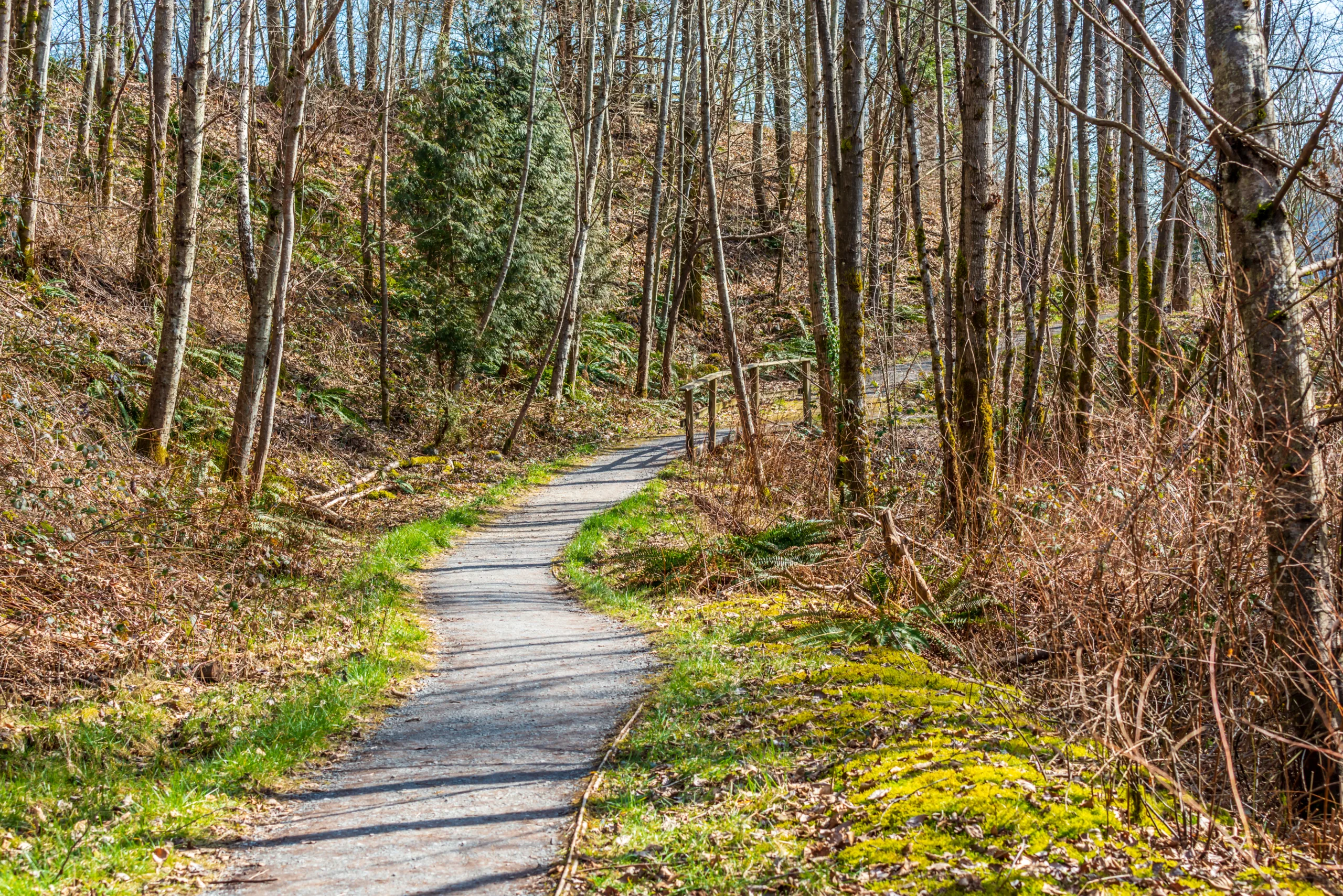
Discovering the best hiking trails in Las Vegas, NV reveals a side of the city that goes far beyond the bright lights of the Strip. Surrounded by dramatic desert landscapes, rugged mountains, and unique rock formations, Las Vegas offers hikers of all levels an impressive variety of outdoor adventures. From the iconic red sandstone vistas of Red Rock Canyon to the cooler alpine escapes of Mount Charleston, each trail provides a distinctive way to experience Southern Nevada’s natural beauty. Moreover, these hiking spots are conveniently located within a short drive of major resorts, making them ideal for both locals and visitors. As you explore this guide to the top hiking destinations, you will find options suited for casual walkers, avid photographers, and serious trekkers alike, all designed to help you plan a memorable and well-prepared outdoor experience in the Las Vegas area.

Introduction
Las Vegas, NV is famous for its world-class entertainment, but it is also a gateway to some of the best hiking trails in the Southwest. Just minutes from the Las Vegas Strip, you can explore dramatic red rock formations, desert canyons, and panoramic mountain vistas. This guide highlights the top hiking trails near Las Vegas, helping you plan your next outdoor adventure while optimizing your trip for both scenery and accessibility.
Red Rock Canyon National Conservation Area
Red Rock Canyon is one of the most popular hiking destinations near Las Vegas, located only about 20 minutes west of the Strip. With its striking sandstone cliffs and diverse trail network, it offers options for every skill level. Among the many routes, the Calico Tanks Trail and Ice Box Canyon stand out for their mix of views and moderate difficulty. Calico Tanks rewards hikers with a natural water tank and a spectacular overlook of the Las Vegas Valley, while Ice Box Canyon offers a cooler, shaded escape in warmer months.
To help you compare popular Red Rock hikes, review the table below:
| Trail | Distance (Round Trip) | Difficulty | Highlights |
|---|---|---|---|
| Calico Tanks Trail | 2.2 miles | Moderate | City views, sandstone formations, water tank |
| Ice Box Canyon | 2.6 miles | Moderate | Shaded canyon, seasonal waterfalls, cooler temps |
| Keystone Thrust | 2.2 miles | Moderate | Geologic fault line, desert views |
Valley Of Fire State Park
About an hour northeast of Las Vegas, Valley of Fire State Park features brilliant red sandstone formations and ancient petroglyphs. It is ideal for day trips and photography-focused hikes. The Fire Wave Trail is a must-see, known for its swirling rock patterns that resemble ocean waves frozen in stone. Additionally, the White Domes Loop offers a short but diverse hike through slot canyons, movie set ruins, and sweeping vistas. Because of limited shade, plan Valley of Fire hikes for early morning or late afternoon, especially in summer.
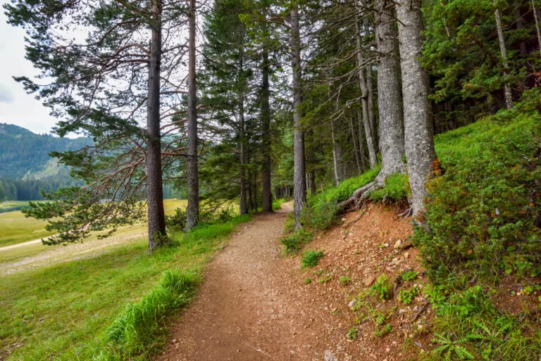
Mount Charleston And The Spring Mountains
For those seeking cooler temperatures and forested terrain, the Mount Charleston area in the Spring Mountains is an excellent alternative to the desert floor. Located roughly 45 minutes northwest of Las Vegas, these higher elevations offer towering pines, seasonal wildflowers, and even snow in winter. The Cathedral Rock Trail provides a relatively short but steep hike with rewarding summit views, while the Mary Jane Falls Trail leads to seasonal waterfalls and a scenic canyon. These trails are perfect when city and desert temperatures rise, offering a refreshing mountain escape.
Planning Your Las Vegas Hiking Adventure
Before hitting the trail, it is crucial to prepare for desert conditions. Always carry plenty of water, sun protection, and appropriate footwear. Check weather and trail conditions in advance, as flash floods, extreme heat, or snow can impact safety. Additionally, many trailheads near Las Vegas have limited parking, so arriving early can help you secure a spot and enjoy a more peaceful experience.
| Area | Drive Time From Strip | Best For |
|---|---|---|
| Red Rock Canyon | 20–30 minutes | Scenic desert hikes, sandstone cliffs |
| Valley of Fire | 55–70 minutes | Unique rock formations, photography |
| Mount Charleston | 40–60 minutes | Cooler temps, forested mountain trails |
Conclusion
From the dramatic cliffs of Red Rock Canyon to the vibrant landscapes of Valley of Fire and the cool forests of Mount Charleston, Las Vegas offers an impressive variety of hiking experiences. By planning ahead and choosing trails that match your fitness level and interests, you can transform your visit into a memorable outdoor adventure. Whether you are a seasoned hiker or a casual explorer, the hiking trails around Las Vegas, NV deliver stunning scenery and a refreshing contrast to the city’s bright lights.
Finding the Best Hiking Trails in Las Vegas, NV
What are some of the best hiking areas near Las Vegas for scenic desert views?
How can I find hiking trails near Las Vegas that match my skill level?
What is the best time of year to hike in the Las Vegas area?
What safety precautions should I take when hiking in the Las Vegas desert?
Are there family-friendly or beginner hikes near Las Vegas?


latest video
news via inbox
Sign up to get local tips delivered to your inbox.


