Best Hiking Trails in La Sierra, CA
Best Hiking Trails In La Sierra CA
Nestled along the western edge of Riverside, La Sierra, CA offers some of the best hiking trails in Inland Southern California, attracting outdoor enthusiasts of all skill levels. This vibrant community blends scenic riverfront paths, rolling hills, and rugged canyon routes, making it an ideal destination for both casual walkers and seasoned hikers. With convenient access from major freeways and nearby neighborhoods, La Sierra hiking trails provide a quick escape into nature without leaving the city behind. Moreover, the area’s diverse terrain delivers year-round opportunities for fitness, photography, and wildlife viewing. As you explore this guide to the top hiking trails in La Sierra, California, you’ll discover family-friendly loops, challenging climbs, and peaceful viewpoints perfect for sunrise or sunset outings. From riverbank strolls to elevated ridgelines, La Sierra’s trail network invites you to experience the region’s natural beauty step by step.

Introduction
Located within the city of Riverside, the La Sierra area of California offers access to some of the best hiking trails in Inland Southern California. With rolling hills, river views, and diverse wildlife, La Sierra hiking trails provide an excellent escape for outdoor enthusiasts of all levels. This guide highlights the top trails near La Sierra, CA, and offers helpful information on distance, difficulty, and what to expect, so you can plan your next adventure with confidence.
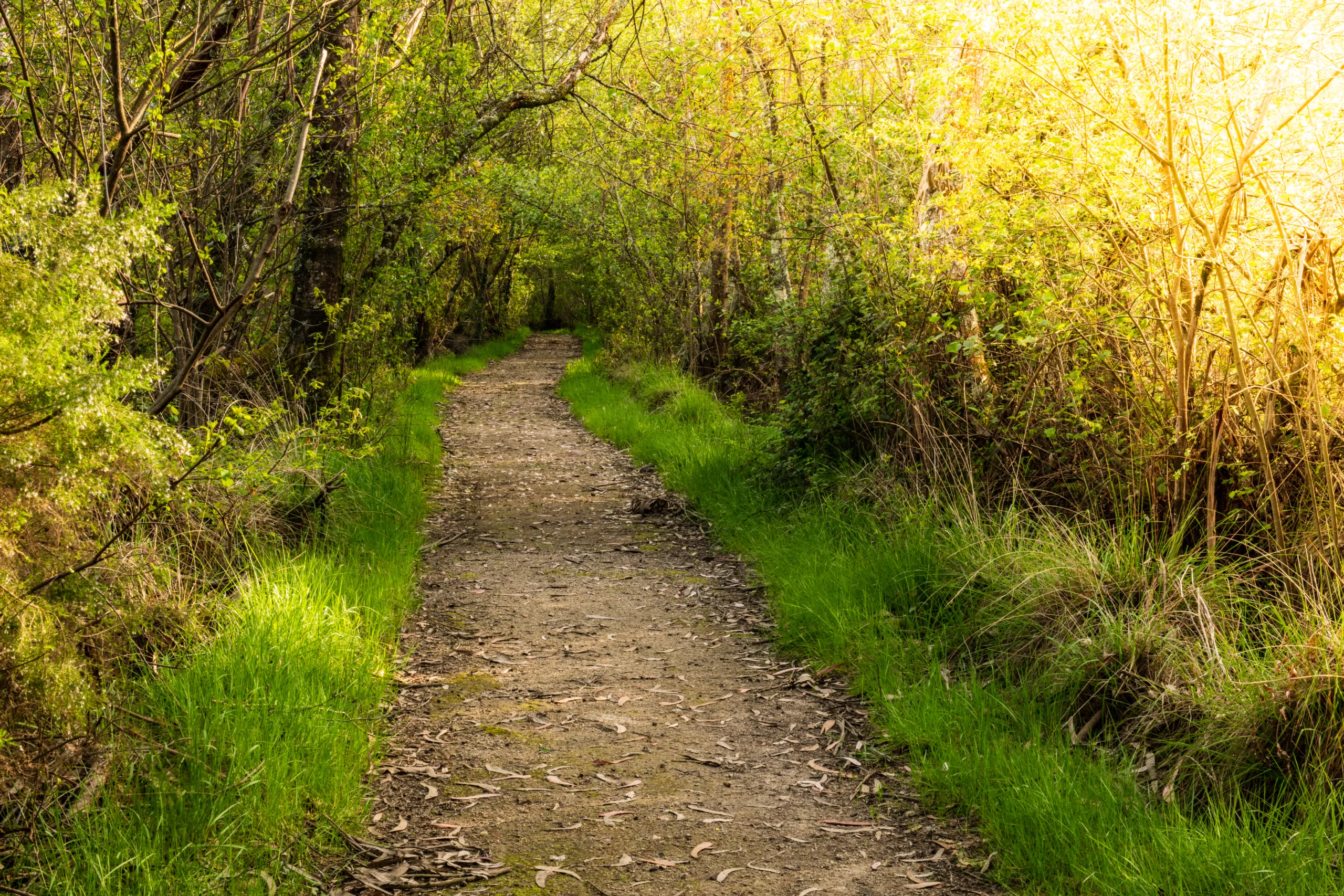
La Sierra Neighborhood And Riverwalk Trails
For hikers seeking convenient, family-friendly routes, the La Sierra neighborhood and nearby Riverwalk paths are ideal. These paved and dirt trails wind through greenbelts, parks, and along sections of the Santa Ana River corridor, making them perfect for walking, jogging, and beginner hikes. Because they are easily accessible from residential areas, they are a popular choice for locals who want a quick nature break without a long drive.
Below is an overview of the most popular trail options accessible from La Sierra and the surrounding Riverside area:
| Trail Name | Approx. Distance | Difficulty | Main Highlights |
|---|---|---|---|
| Riverwalk Trail (La Sierra Area) | 2–4 miles (out and back) | Easy | River views, paved segments, great for strollers and bikes |
| La Sierra Greenbelt Paths | 1–3 miles (various loops) | Easy | Neighborhood parks, shade trees, accessible walking routes |
| Santa Ana River Trail Access | Flexible distance | Easy to Moderate | Long-distance river corridor route, cycling and running |
Santa Ana River Trail Near La Sierra
One of the most well-known hiking and biking routes near La Sierra is the Santa Ana River Trail. With access points in the greater Riverside and La Sierra region, this multi-use trail follows the Santa Ana River and eventually extends all the way toward Orange County. For hikers in La Sierra, it offers long, mostly flat segments suitable for endurance walks, training runs, or scenic bike rides.
Because of its length and connectivity, the Santa Ana River Trail is excellent for those who want to gradually increase mileage. Additionally, it provides opportunities for bird-watching and photography, especially in the early morning and late afternoon.
Nearby Hills And Open Space Trails
While La Sierra itself is largely suburban, several nearby open space areas and hill trails offer more elevation gain and panoramic views of Riverside and the Santa Ana River Valley. By driving a short distance, hikers can enjoy moderate hikes with rewarding vistas and more rugged terrain.
| Area | Approx. Distance From La Sierra | Typical Trail Length | Highlights |
|---|---|---|---|
| Arlington Heights And Hills | 10–15 minutes | 2–5 miles | Rolling hills, citrus groves, city and valley views |
| Local Riverside Hill Trails | 15–25 minutes | 2–6 miles | Steeper climbs, sunrise and sunset viewpoints, wildlife |
Tips For Hiking In La Sierra CA
To fully enjoy the best hiking trails in La Sierra, CA, it is important to plan ahead. Start early during warmer months to avoid midday heat, and always bring plenty of water, sunscreen, and a hat. Most local trails are exposed, with limited shade, so sun protection is essential. Additionally, wearing sturdy walking or hiking shoes will help you comfortably navigate both paved paths and dirt tracks.
Because many routes are shared with cyclists, runners, and dog walkers, be sure to follow standard trail etiquette. Keep to the right, announce when passing, and keep pets leashed where required. Checking local park or city websites before heading out can also provide up-to-date information on parking, temporary closures, or trail improvements.
Conclusion
From neighborhood greenbelts to expansive river pathways, La Sierra, CA, offers a diverse range of outdoor options for walkers, runners, and hikers. Whether you are seeking a relaxed evening stroll along the Riverwalk or a longer workout on the Santa Ana River Trail, the area provides accessible and scenic routes for all skill levels. By exploring these top hiking trails in La Sierra and nearby Riverside, you can enjoy fresh air, beautiful views, and a healthier lifestyle—right in your own backyard.
Finding the Best Hiking Trails in La Sierra, CA
How can I locate the best hiking trails in and around La Sierra, CA?
What should I consider when choosing a hiking trail near La Sierra?
Are there beginner-friendly hiking trails close to La Sierra?
When is the best time of day to hike in La Sierra, CA?
What safety precautions should I follow on La Sierra hiking trails?


latest video

news via inbox
Sign up to get local tips delivered to your inbox.

