Best Hiking Trails in Deer Valley, AZ
Best Hiking Trails In Deer Valley AZ
Deer Valley, AZ offers some of the best hiking trails in the Phoenix metro area, attracting outdoor enthusiasts with its rugged desert landscapes, scenic mountain views, and diverse wildlife. Nestled in North Phoenix, this popular neighborhood provides convenient access to well-maintained paths that cater to both beginners and experienced hikers. From sunrise treks to sunset strolls, Deer Valley’s trail network delivers exceptional opportunities for fitness, photography, and nature exploration. Moreover, the area’s proximity to major highways and amenities makes it an ideal base for planning day hikes or weekend adventures. As you explore the top hiking trails in Deer Valley, AZ, you will discover routes that highlight dramatic rock formations, towering saguaros, and panoramic vistas of the Valley of the Sun. In the following sections, we will guide you through the must-visit trails, key trailhead information, and essential tips to help you hike safely and comfortably.

Introduction
Deer Valley, AZ, located in the northern part of Phoenix, is a hidden gem for outdoor enthusiasts seeking scenic desert landscapes and accessible adventures. With its mix of rugged mountain terrain, well-marked paths, and stunning Sonoran Desert vistas, Deer Valley offers some of the best hiking trails in the Phoenix metro area. Whether you are a beginner looking for an easy walk or an experienced hiker in search of a challenge, the trails in Deer Valley deliver variety, beauty, and year-round hiking opportunities.
Deem Hills Recreation Area Trails
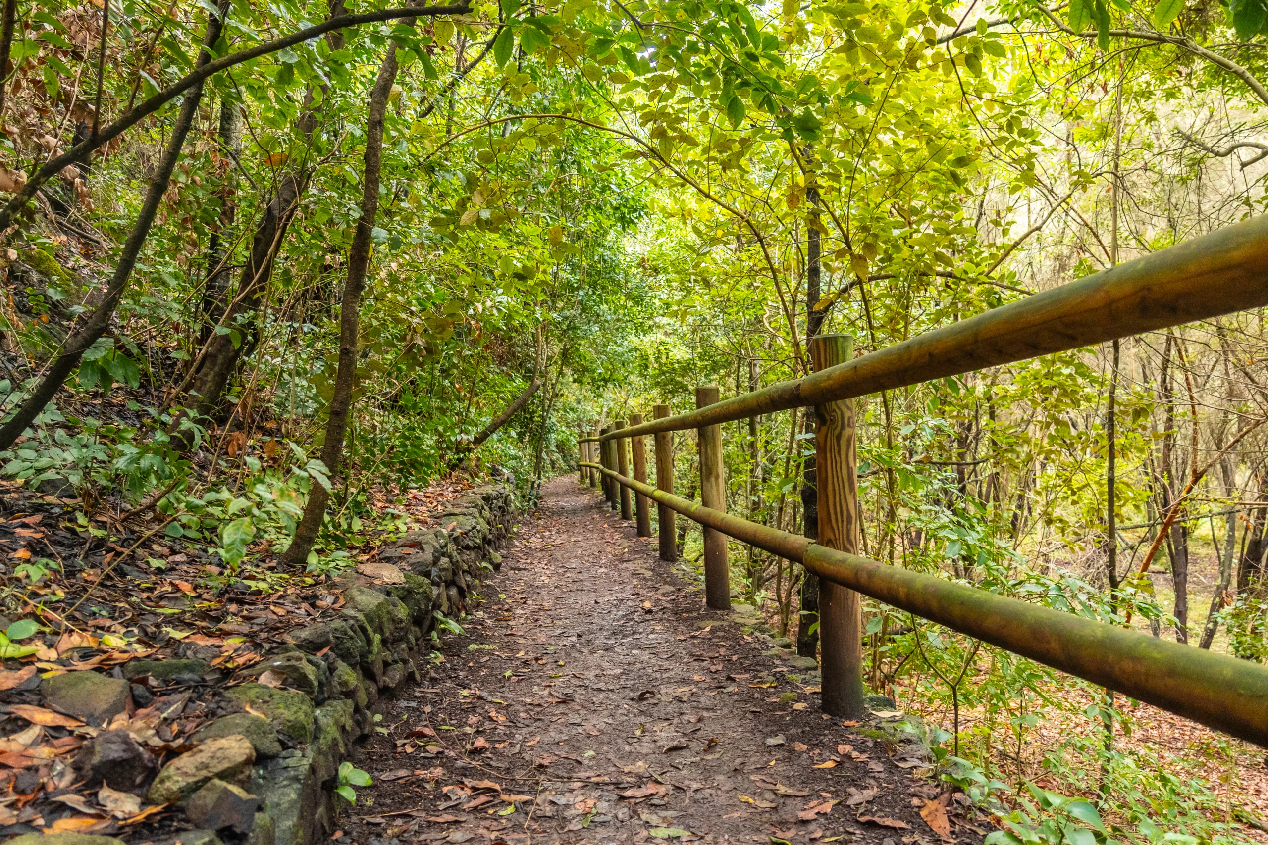
One of the most popular hiking destinations in Deer Valley is the Deem Hills Recreation Area. This network of trails winds through volcanic rock formations and offers panoramic views of downtown Phoenix and surrounding mountains. The Deem Hills Circumference Trail is a moderate loop that provides a rewarding workout without being overly strenuous, making it ideal for intermediate hikers and fit beginners. Along the way, you will encounter saguaro cacti, desert wildlife, and picturesque ridgelines that showcase the natural beauty of Deer Valley.
Adobe Dam Regional Park Trails
For those seeking a more relaxed outdoor experience, the trails at Adobe Dam Regional Park are an excellent choice. These routes are generally flatter and shorter, which makes them perfect for families, casual walkers, and visitors new to desert hiking. While the elevation gain is minimal, the park still offers open desert views, birdwatching opportunities, and easy access from nearby neighborhoods. Moreover, the proximity to other recreational facilities, such as sports complexes and the nearby waterpark, allows visitors to plan a full day of activities around their hike.
Sonoran Desert Preservation And Wildlife
Hiking in Deer Valley provides a chance to explore the Sonoran Desert ecosystem up close. As you move from trail to trail, you will notice diverse plant life including saguaros, cholla, and palo verde trees. In addition, early morning or late afternoon hikes may reveal sightings of desert cottontails, quail, and even the occasional coyote. Because of this rich biodiversity, it is important to stay on designated trails and respect posted signs to help preserve the fragile desert environment for future generations of hikers.
Trail Comparison And Highlights
To help you choose the best hiking option for your needs, the table below highlights key details about some of the top trails in Deer Valley, AZ.
| Trail Name | Location | Difficulty | Approx. Distance | Main Highlights |
|---|---|---|---|---|
| Deem Hills Circumference Trail | Deem Hills Recreation Area | Moderate | 5–6 miles loop | Ridge views, volcanic rock, city skyline vistas |
| Deem Hills Basalt Trail | Deem Hills Recreation Area | Easy to Moderate | 2–3 miles | Shorter climbs, basalt formations, family-friendly |
| Adobe Dam Desert Trail | Adobe Dam Regional Park | Easy | 1–2 miles | Flat terrain, wildlife viewing, convenient access |
Tips For Hiking Safely In Deer Valley
Because Deer Valley’s trails are set in an authentic desert environment, hikers should prepare accordingly. Always carry plenty of water, wear sun protection, and start early, particularly in the warmer months. Additionally, sturdy footwear and a basic first-aid kit are recommended. Staying on signed trails not only protects the landscape but also reduces your chances of becoming disoriented. Checking local weather forecasts and park advisories before heading out will further ensure a safe and enjoyable experience on the trail.
Conclusion
From the scenic ridgelines of Deem Hills to the gentle paths of Adobe Dam Regional Park, Deer Valley, AZ, offers a diverse collection of hiking opportunities suitable for all skill levels. These trails allow visitors to immerse themselves in the unique beauty of the Sonoran Desert while enjoying convenient access from the Phoenix metropolitan area. By choosing the right trail, preparing properly, and respecting the local environment, hikers can make every outing memorable. Ultimately, the best hiking trails in Deer Valley combine accessibility, scenery, and adventure, making this region a must-visit destination for anyone who loves the outdoors.
Finding the Best Hiking Trails in Deer Valley, AZ
How can I find the best hiking trails for my skill level in Deer Valley, AZ?
Start by reviewing trail descriptions on reputable platforms such as AllTrails, Hiking Project, or the Maricopa County Parks and Recreation website, filtering by distance, elevation gain, and user ratings. Look for terms like “easy,” “moderate,” or “difficult” and match them to your current fitness level and hiking experience. Check recent reviews for up‑to‑date information on trail conditions, crowd levels, and seasonal considerations. When in doubt, choose shorter, well‑marked loop trails around Deer Valley and gradually progress to longer or steeper routes as you gain confidence and experience.
What are some popular hiking areas near Deer Valley, AZ?
Popular hiking areas near Deer Valley include the Deem Hills Recreation Area, Thunderbird Conservation Park, and the North Mountain and Shaw Butte area to the south. These areas offer a variety of loop and out‑and‑back trails with scenic desert views, moderate elevation gain, and convenient trailhead parking. Each area features well‑established routes, such as Deem Hills Circumference Trail and Thunderbird’s various summit trails, making them reliable choices for residents and visitors based in or near Deer Valley.
How do I check current conditions and safety information for Deer Valley hiking trails?
Review the managing agency’s website, such as the City of Phoenix Parks and Recreation or Maricopa County Parks, for trail advisories, closures, and heat‑related restrictions. Consult local trail apps and forums for recent user reports about surface conditions, wildlife sightings, and congestion. Before heading out, check the weather forecast for extreme heat, storms, or air‑quality alerts, and confirm opening hours and any parking or access changes. In summer, verify whether heat‑related trail closures are in effect and plan early morning hikes to minimize exposure.
What should I consider when choosing a family‑friendly hiking trail in Deer Valley?
Focus on shorter trails with minimal elevation gain, clear signage, and easy access from paved parking areas. Look for routes with partial shade, smoother terrain, and turnaround points so children or less‑experienced hikers can stop early if needed. Check trail maps for loop options to avoid backtracking and confirm whether restrooms, water fountains, and picnic areas are available near the trailhead. Avoid exposed ridgelines or very rocky sections, and always plan hikes during cooler parts of the day with extra water, sun protection, and snacks for everyone in your group.
What gear and precautions are recommended for hiking in Deer Valley’s desert environment?
Wear sturdy, closed‑toe hiking shoes with good traction and bring at least one liter of water per person for short hikes, and more for longer or hotter outings. Use sun protection, including a wide‑brimmed hat, sunglasses, and broad‑spectrum sunscreen, and opt for lightweight, moisture‑wicking clothing. Carry a basic first‑aid kit, a fully charged phone, navigation tools such as a map or downloaded offline trail map, and a small flashlight or headlamp in case your hike takes longer than planned. Stay on marked trails, watch for loose rock and cacti, be aware of wildlife such as snakes, and let someone know your route and expected return time before you head out.


latest video
news via inbox
Sign up to get local tips delivered to your inbox.


