Best Hiking Trails in San Gabriel, CA
Best Hiking Trails In San Gabriel CA
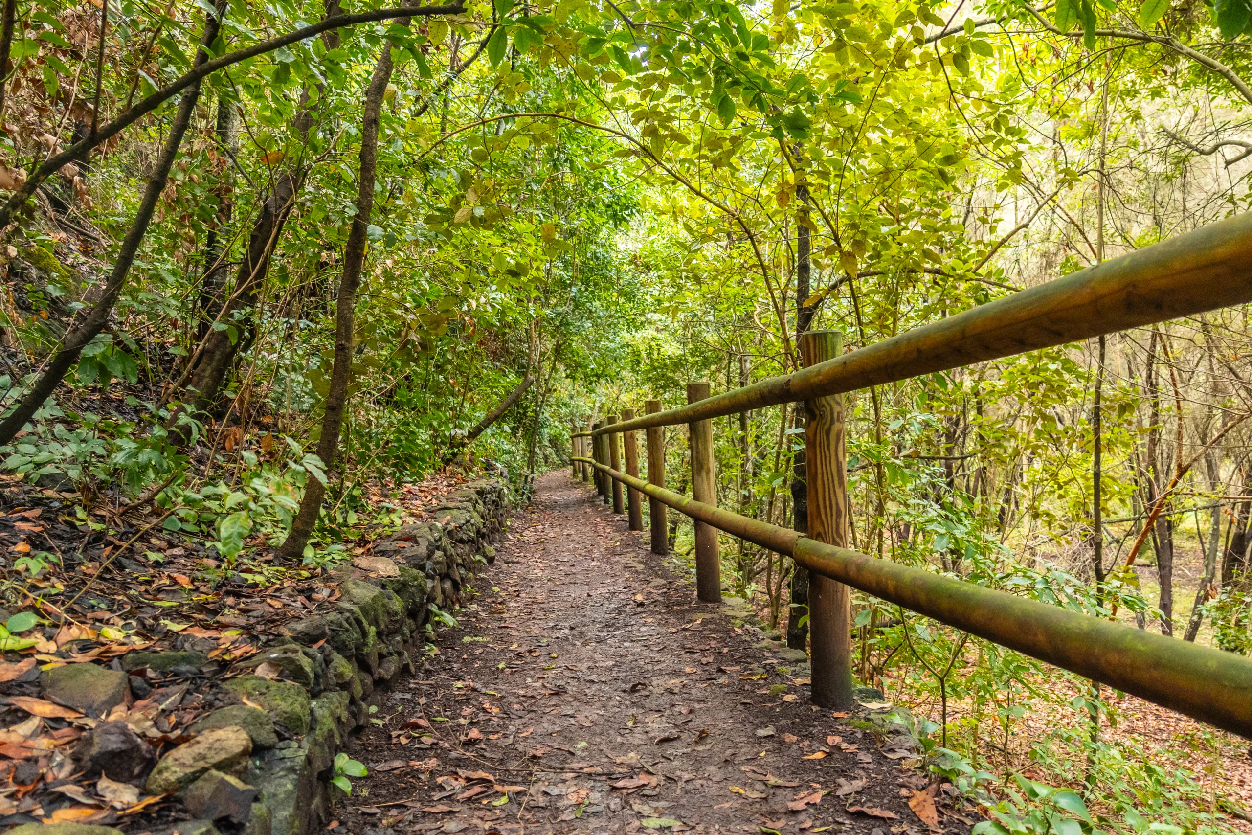
San Gabriel, CA offers some of the most scenic and accessible hiking trails in the San Gabriel Valley, making it an ideal destination for outdoor enthusiasts of all experience levels. Nestled against the picturesque San Gabriel Mountains, this area features a diverse mix of urban-adjacent paths, creekside routes, and more challenging canyon climbs. As you explore the best hiking trails in San Gabriel, you will discover panoramic viewpoints, shaded oak groves, and peaceful natural escapes just minutes from city streets. Moreover, the region’s well-maintained trail network and convenient parking areas make planning your next adventure both simple and enjoyable. Whether you are searching for a family-friendly walk, a fitness-focused hike, or a photography-worthy sunrise trek, San Gabriel’s trails provide a rewarding blend of natural beauty and year-round accessibility that appeals to locals and visitors alike.

Introduction
Exploring the best hiking trails in San Gabriel, CA is one of the most rewarding ways to experience Southern California’s natural beauty. Nestled at the base of the San Gabriel Mountains, this region offers a diverse mix of easy nature walks, moderate canyon routes, and challenging summit climbs. Whether you are a local resident or a visitor planning a day trip, the trails around San Gabriel provide scenic views, fresh mountain air, and excellent opportunities for outdoor recreation.
Top Hiking Trails In And Around San Gabriel
While the city of San Gabriel itself is primarily residential and historic, some of the region’s most popular hiking trails are just a short drive away. These routes combine accessibility with stunning landscapes, making them ideal for both beginners and seasoned hikers.
Below is a helpful overview of some of the best hiking trails near San Gabriel:
| Trail Name | Approx. Distance (Round Trip) | Difficulty | Key Features |
|---|---|---|---|
| Echo Mountain Via Sam Merrill Trail | 5.0 miles | Moderate | Historic railway ruins, city views, shaded sections |
| Chantry Flat To Sturtevant Falls | 3.5 miles | Easy–Moderate | Waterfall, creek crossings, lush canyon forest |
| Hermit Falls Trail | 2.6 miles | Moderate | Swimming holes, rock formations, steep return climb |
| Mt Wilson Trail From Sierra Madre | 14.0 miles | Hard | Summit views, observatory access, elevation gain |
| Eaton Canyon Falls Trail | 3.5 miles | Easy–Moderate | Year‑round stream, waterfall, family‑friendly terrain |
Highlights Of The Best Trails
The Echo Mountain via Sam Merrill Trail, starting near Altadena, is a favorite for hikers seeking history and panoramic vistas. The route follows the former Mount Lowe Railway, passing old foundations and lookout structures while offering sweeping views of the San Gabriel Valley and downtown Los Angeles.
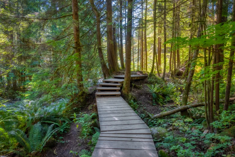
For those who prefer a lush canyon environment, Chantry Flat to Sturtevant Falls is a standout option. This hike features shaded oak and sycamore forests, gentle creek crossings, and a picturesque 50‑foot waterfall. Nearby, the Hermit Falls Trail appeals to more adventurous hikers with deeper pools and boulder areas, though its steep return ascent requires good fitness.
If you are looking for a challenging full‑day adventure, the Mt Wilson Trail from Sierra Madre delivers a demanding climb with a significant elevation gain. In return, hikers are rewarded with cooler temperatures at higher elevations, access to the historic Mt. Wilson Observatory, and far‑reaching views across the San Gabriel range.
Closer to urban areas, Eaton Canyon Falls Trail is highly accessible and popular with families and beginners. A relatively gentle approach leads to a rocky canyon and a seasonal waterfall, making it an excellent starting point for new hikers near San Gabriel.
Planning Your Hike Near San Gabriel
Before heading out, it is essential to check current trail conditions, parking requirements, and weather forecasts. Many popular trailheads in the San Gabriel Mountains require an Adventure Pass or similar parking permit. Additionally, summer temperatures can rise quickly, so packing adequate water, sun protection, and sturdy footwear is crucial for a safe experience.
| Preparation Tip | Why It Matters |
|---|---|
| Bring At Least 1–2 Liters Of Water | Prevents dehydration on exposed, sunny sections of trail. |
| Wear Proper Hiking Shoes | Improves traction on rocky, uneven, or sandy terrain. |
| Check Fire And Weather Alerts | Many routes close during high fire danger or severe storms. |
| Start Early In The Day | Helps you avoid heat, crowds, and limited parking availability. |
Conclusion
The best hiking trails in San Gabriel, CA, and its nearby foothill communities offer something for every outdoor enthusiast, from easy waterfall walks to strenuous summit climbs. By choosing routes that match your fitness level and planning ahead for safety, you can fully enjoy the natural beauty of the San Gabriel Mountains. As you explore these scenic trails, you will discover why hiking near San Gabriel remains one of the most popular and rewarding outdoor activities in Southern California.
Finding the Best Hiking Trails in San Gabriel, CA
How can I find the best hiking trails near San Gabriel, CA for my skill level?
What are some popular hiking areas close to San Gabriel, CA?
How do I know whether a San Gabriel area trail is currently open and safe?
What should I bring when hiking trails near San Gabriel, CA?
Are permits or parking passes required for hiking in the San Gabriel Mountains?


news via inbox
Sign up to get local tips delivered to your inbox.


