Best Hiking Trails in Los Altos, CA
Best Hiking Trails In Los Altos CA
Nestled against the scenic foothills of the Santa Cruz Mountains, Los Altos, CA offers some of the best hiking trails in Silicon Valley for outdoor enthusiasts of all levels. From peaceful oak woodlands to panoramic ridge-top views, this charming community provides a surprising number of nature escapes just minutes from bustling tech campuses. As you explore the top hiking trails in Los Altos, you’ll discover well-maintained paths, diverse wildlife, and family-friendly routes perfect for weekend adventures. Moreover, many of these trails connect to larger regional parks, making it easy to extend your hike or enjoy a full day outdoors. Whether you’re seeking a quick lunchtime walk, a moderate fitness hike, or a scenic photography outing, Los Altos hiking offers a trail to match your needs. In the following sections, we’ll highlight the must-visit hiking spots in and around Los Altos to help you plan your next trek.
Introduction
Los Altos, CA, nestled near the foothills of the Santa Cruz Mountains, offers some of the best hiking trails in Silicon Valley. From shaded creekside paths to panoramic ridge routes, this region combines natural beauty with easy accessibility. Whether you are a casual walker or an avid hiker, Los Altos and the surrounding Los Altos Hills provide scenic escapes that are perfect for weekend adventures, family outings, or daily fitness routines.
Top Hiking Areas In And Around Los Altos
To begin exploring the best hiking trails in Los Altos, CA, it helps to focus on a few key open space preserves and parks. These areas offer well-maintained paths, clear signage, and a range of distances and difficulty levels, making them ideal for both beginners and experienced hikers.
Below is an overview of the most popular hiking destinations near Los Altos:
| Hiking Area | Location | Best For |
|---|---|---|
| Rancho San Antonio Open Space Preserve | North of Los Altos off Cristo Rey Drive | Varied terrain, family hikes, longer routes |
| Redwood Grove Nature Preserve | Los Altos city center | Short strolls, nature education, shaded walks |
| Hidden Villa | Los Altos Hills | Farm experiences, moderate hiking, scenic views |
| Fremont Older Open Space Preserve | Nearby Saratoga / Cupertino border | Rolling hills, ridge views, trail running |
Best Trails At Rancho San Antonio
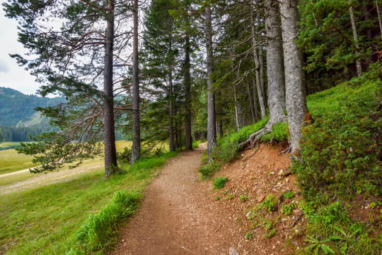
Rancho San Antonio Open Space Preserve is one of the most popular hiking destinations near Los Altos. With an extensive network of multi-use trails, it offers everything from leisurely walks to challenging climbs. The route to Deer Hollow Farm is especially appealing to families, as it combines gentle grades with opportunities to see farm animals and learn about local agriculture.
For those seeking a more strenuous workout, the PG&E Trail provides a steady ascent and rewarding views over the South Bay. This trail attracts fitness hikers and trail runners who want both elevation gain and scenery. Because the preserve can get busy on weekends, arriving early in the morning helps ensure easier parking and a quieter trail experience.
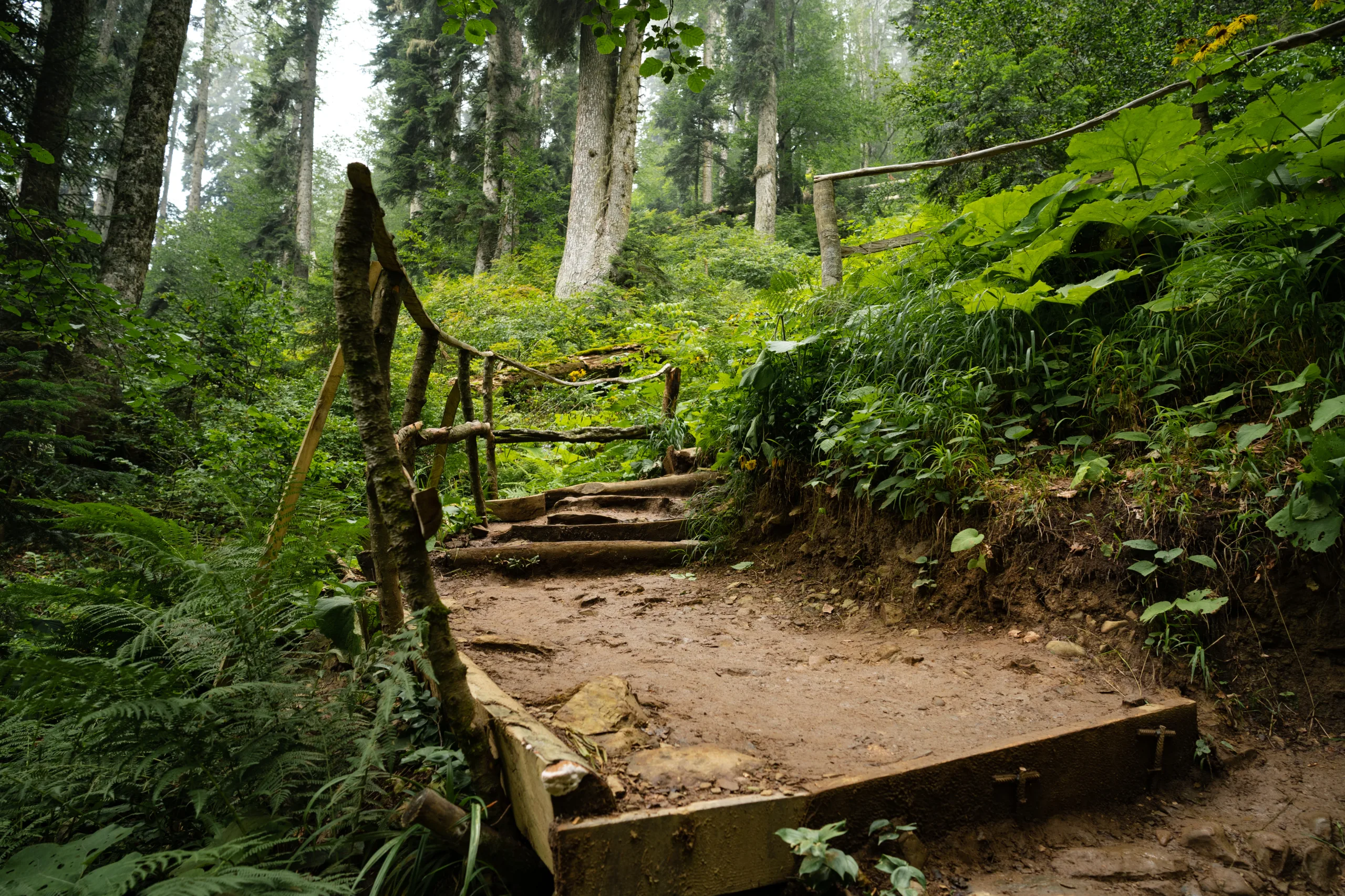
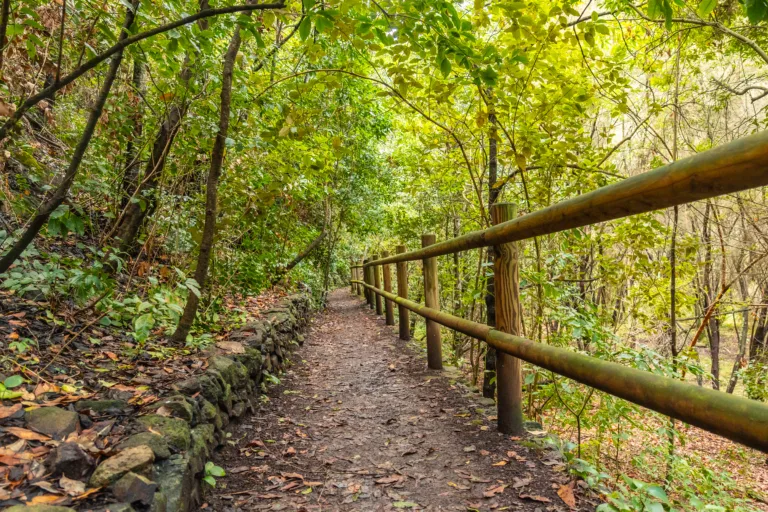
Redwood Grove And Hidden Villa Highlights
Within the city limits, Redwood Grove Nature Preserve offers a surprisingly tranquil escape. This compact preserve features a loop trail that winds through towering redwoods and alongside Adobe Creek. Its short distance makes it perfect for a midday break or an educational outing with children, and it pairs well with visits to nearby parks and downtown Los Altos.
Just a short drive away, Hidden Villa in Los Altos Hills blends scenic hiking with environmental education. Trails range from easy meadow paths to steeper hillside climbs, all set against a backdrop of working farm fields and oak woodlands. As you explore, you will find interpretive signs, viewpoints, and seasonal creeks that enrich the overall hiking experience.
Trail Comparison And Planning Tips
To choose the best trail for your outing, consider distance, elevation, and typical hiking time. The table below summarizes several favorite options:
| Trail Name | Approx. Distance | Difficulty | Highlights |
|---|---|---|---|
| Deer Hollow Farm Trail (Rancho San Antonio) | 3–4 miles round trip | Easy | Farm visit, creek views, family friendly |
| PG&E Trail (Rancho San Antonio) | 6–7 miles round trip | Moderate–Strenuous | Bay views, steady climb, fitness training |
| Redwood Grove Loop | 0.5–1 mile | Easy | Redwood canopy, creek, educational signs |
| Hidden Villa Valley Trails | 2–5 miles | Easy–Moderate | Farm scenery, oak woodland, seasonal streams |
Conclusion
In summary, the best hiking trails in Los Altos, CA offer a rich blend of natural beauty, convenient access, and diverse difficulty levels. From the expansive networks at Rancho San Antonio to the intimate paths of Redwood Grove and Hidden Villa, there is a route to suit every type of hiker. By planning ahead, starting early, and selecting trails that match your fitness level, you can fully enjoy the top hiking experiences in and around Los Altos while appreciating the unique landscapes of the South Bay.
Finding the Best Hiking Trails in Los Altos, CA
How can I find the best hiking trails in and around Los Altos, CA?
What are some popular beginner‑friendly hiking areas near Los Altos?
How do I judge the difficulty of hiking trails in the Los Altos area?
When is the best time of year to hike near Los Altos, and what conditions should I expect?
What should I consider for safety and regulations when choosing trails around Los Altos?


news via inbox
Sign up to get local tips delivered to your inbox.


